Surveying
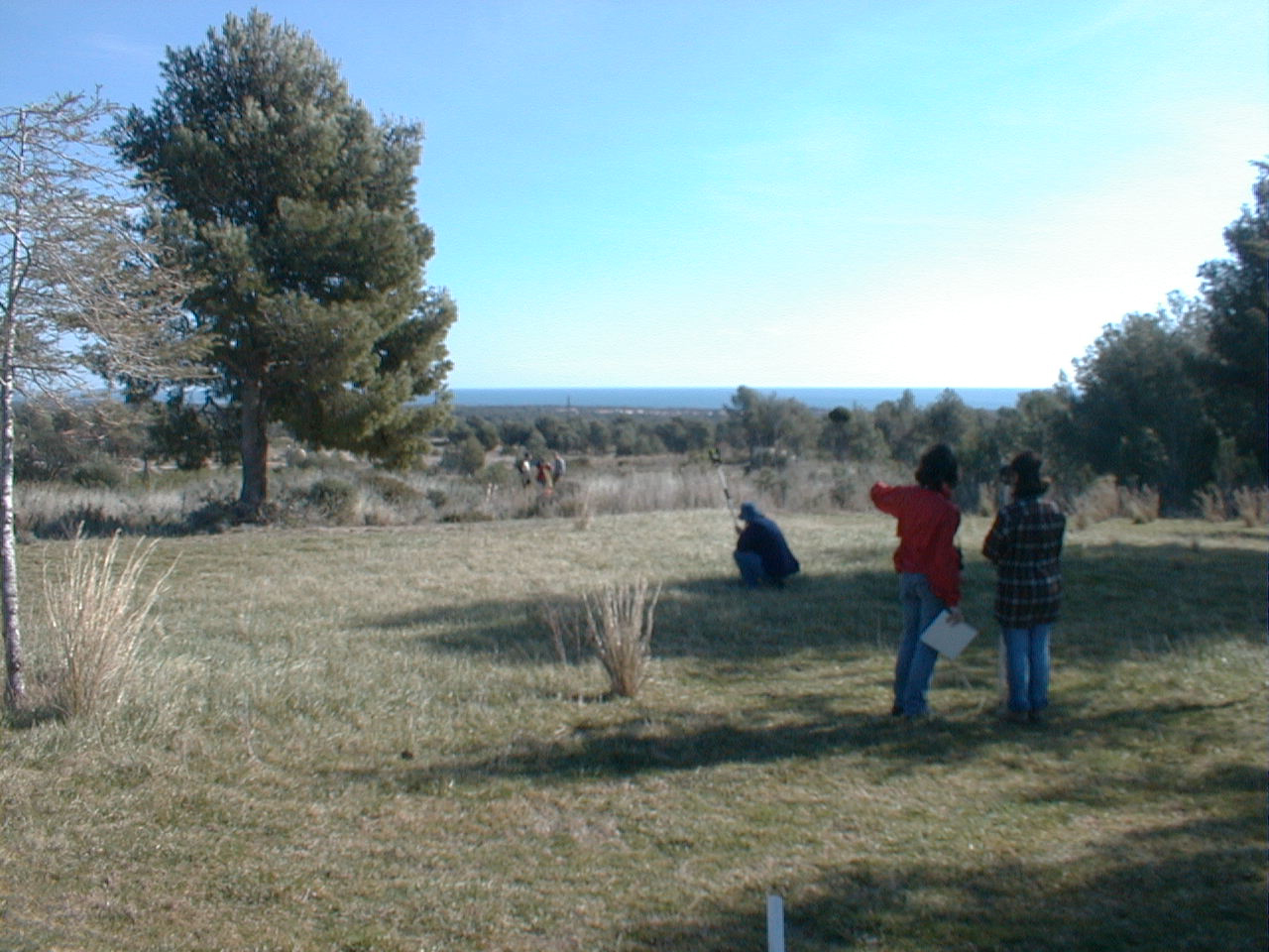
Nice setting!
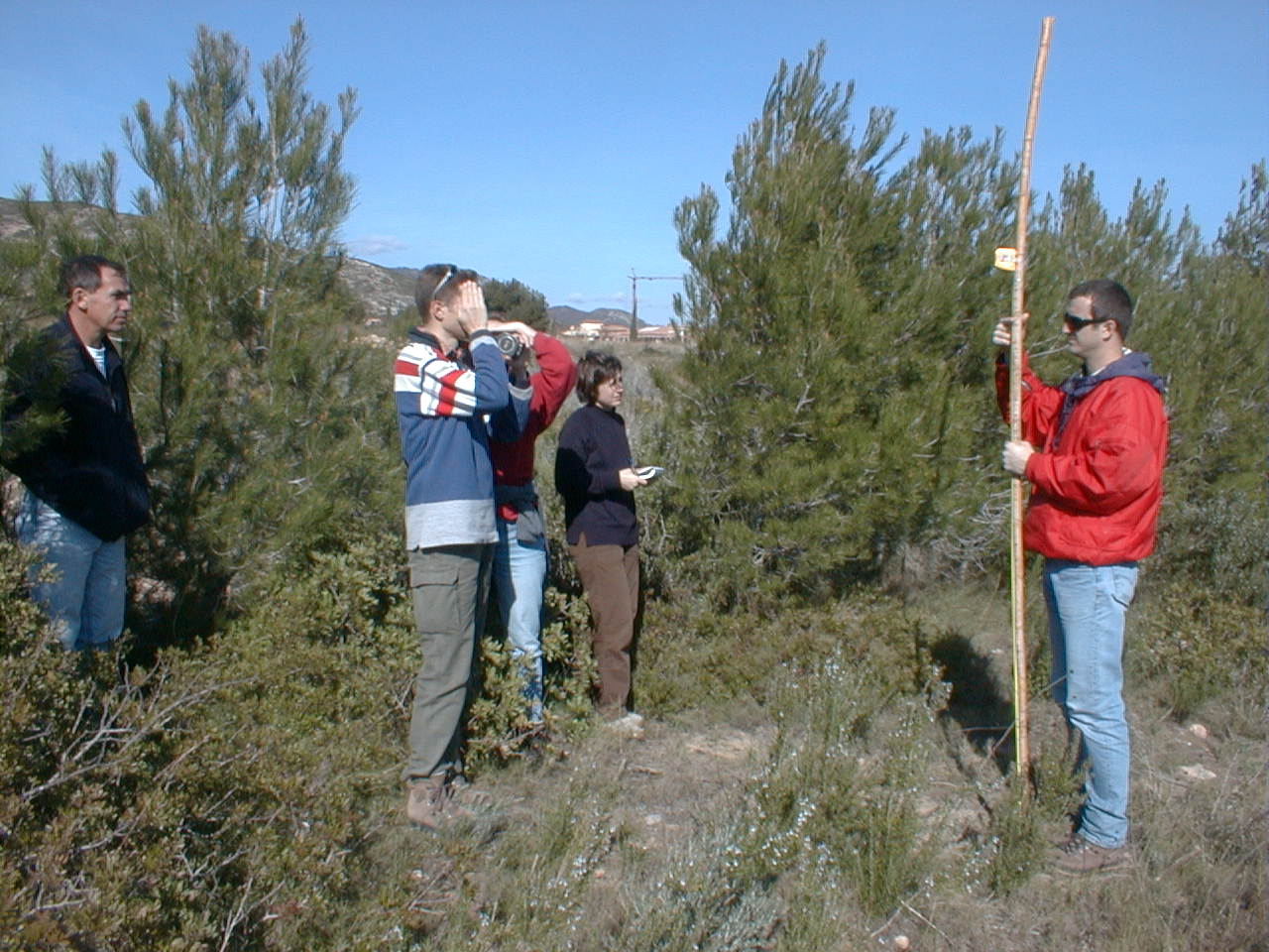
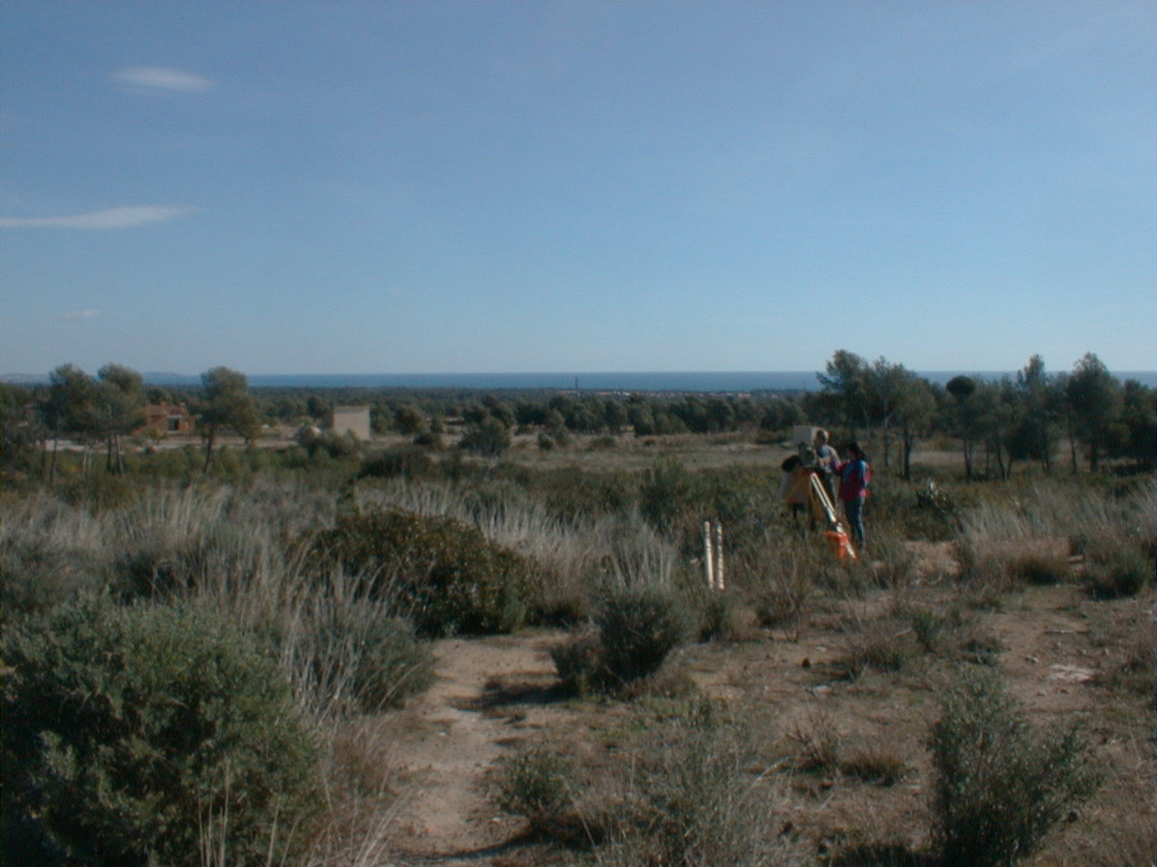
Surveying the "Paleolithic" way
|
Surveying |
Nice setting! |
Surveying the "Paleolithic" way |
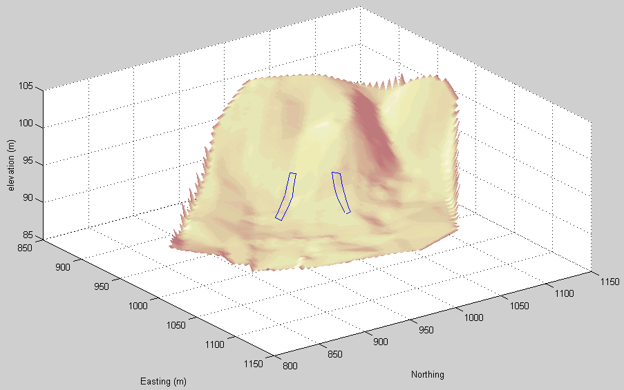
Survey data:
Raw file from total station
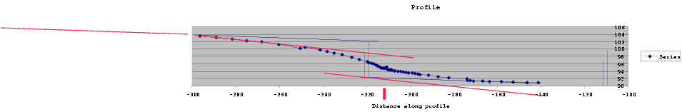
Profiles:
Profile 1

Illustrator 8 file |
Profile 2
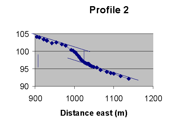
Illustrator 8 file |