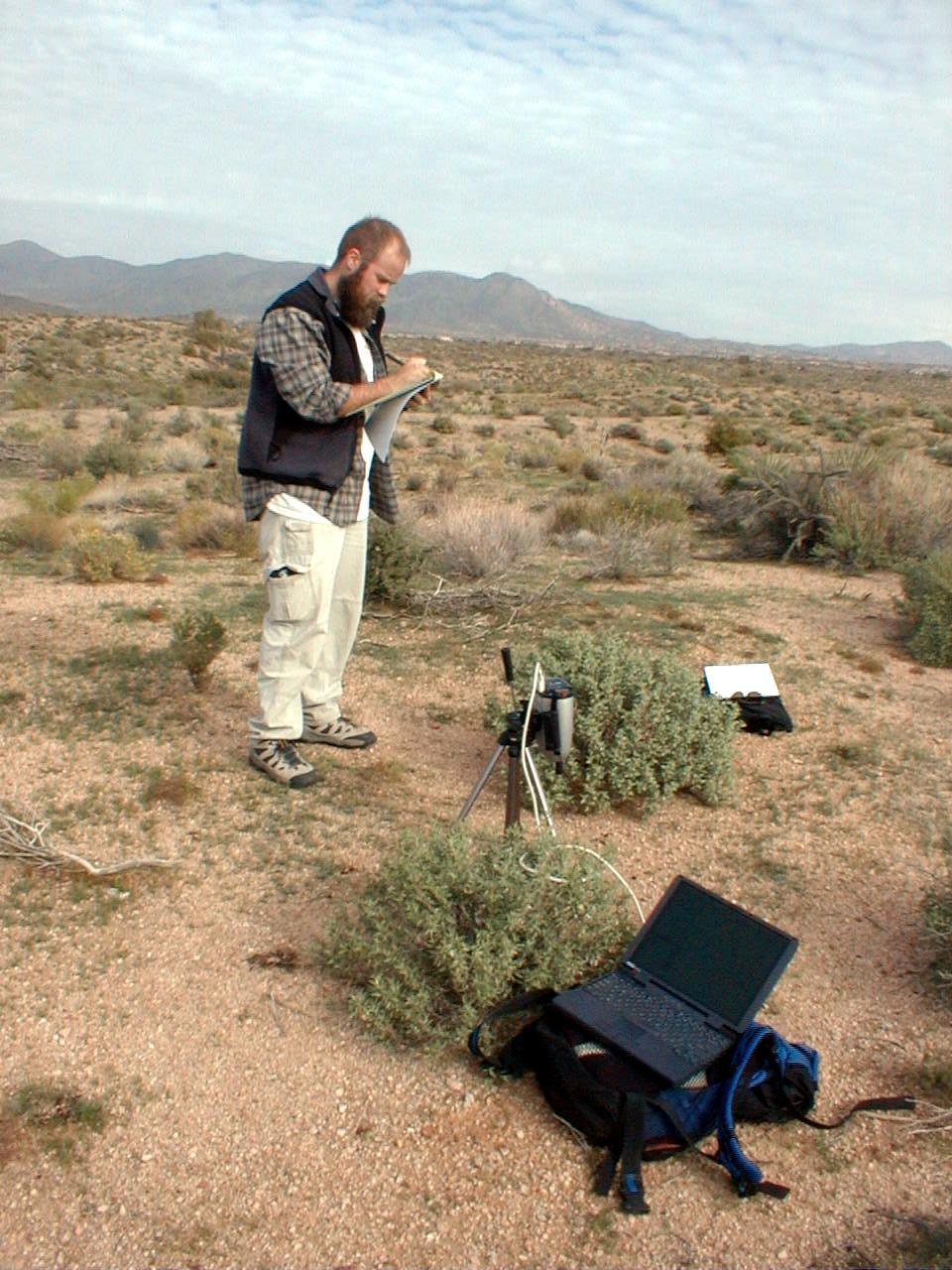
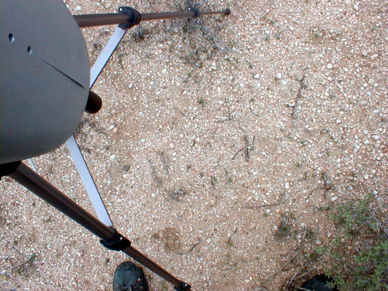
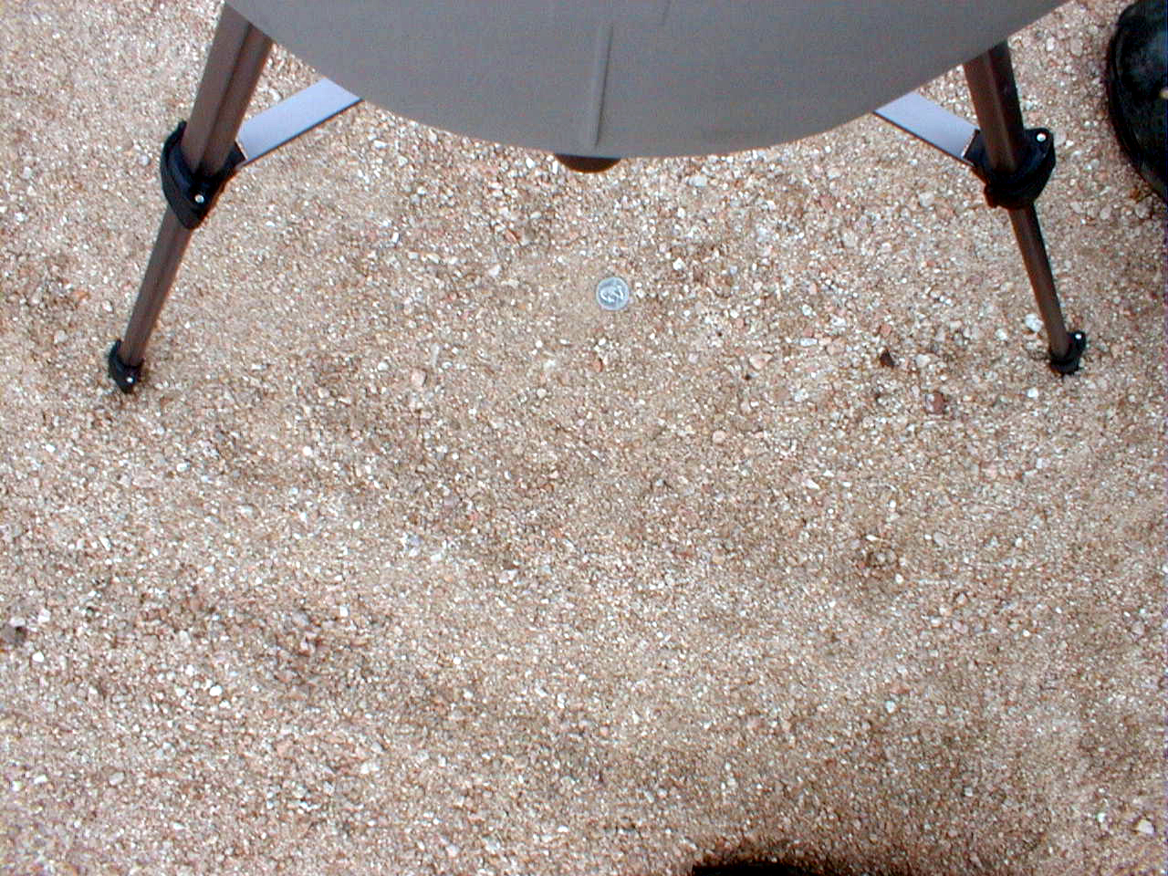
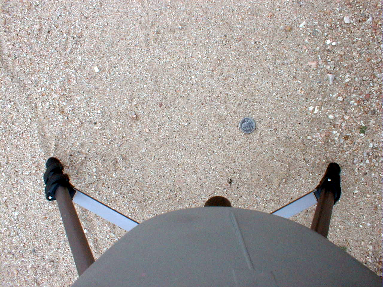
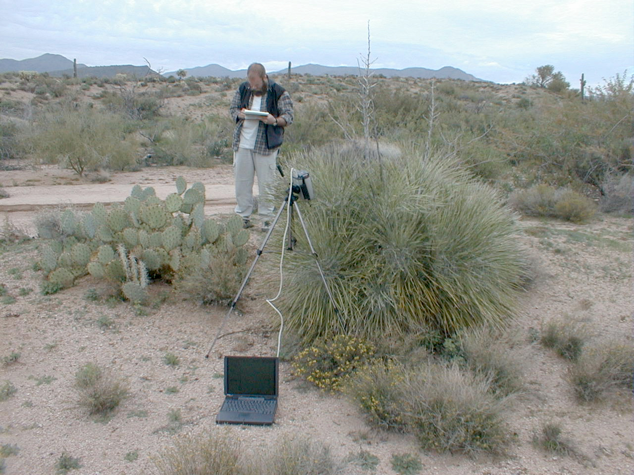
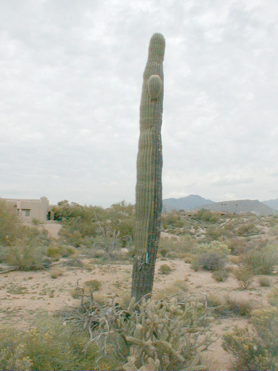
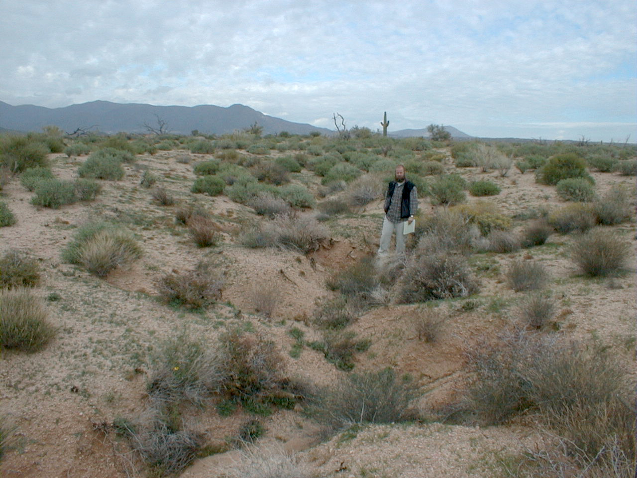
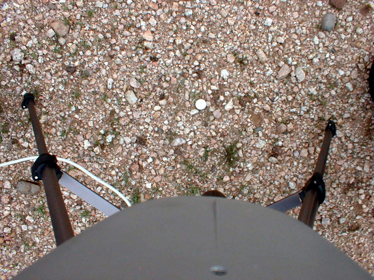
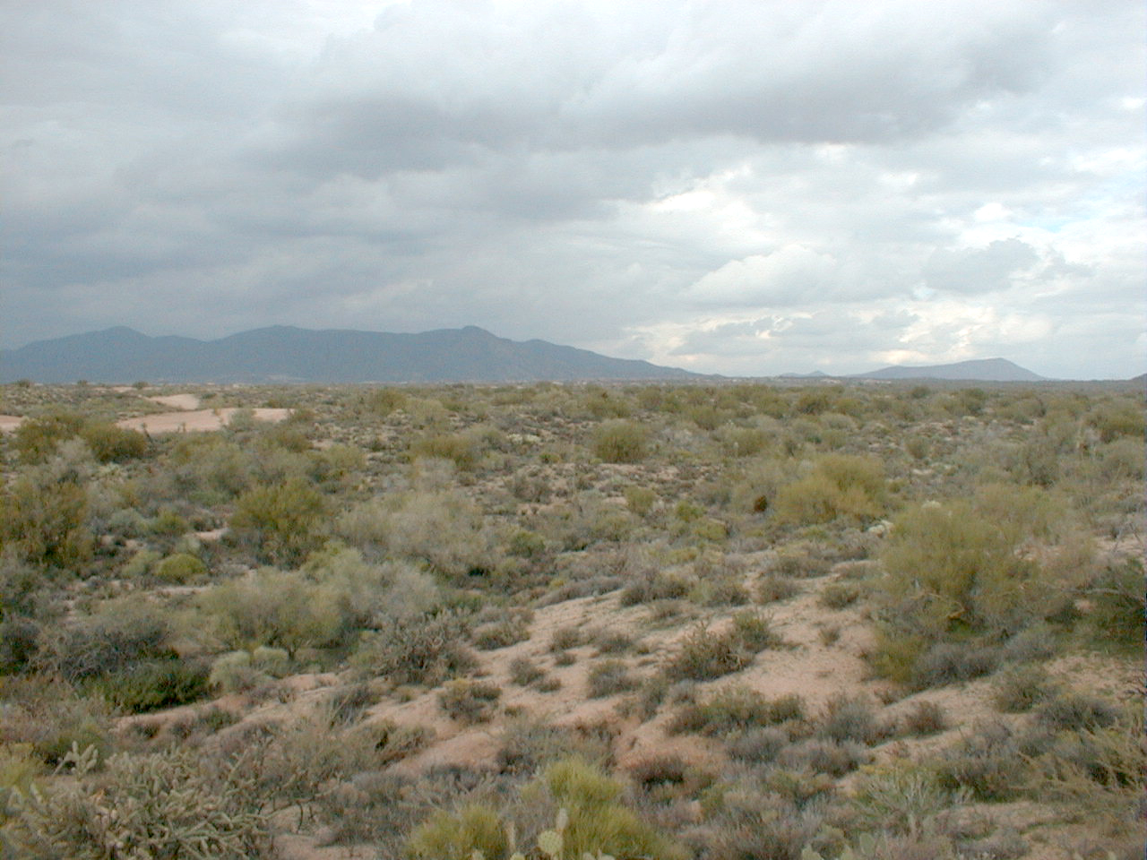
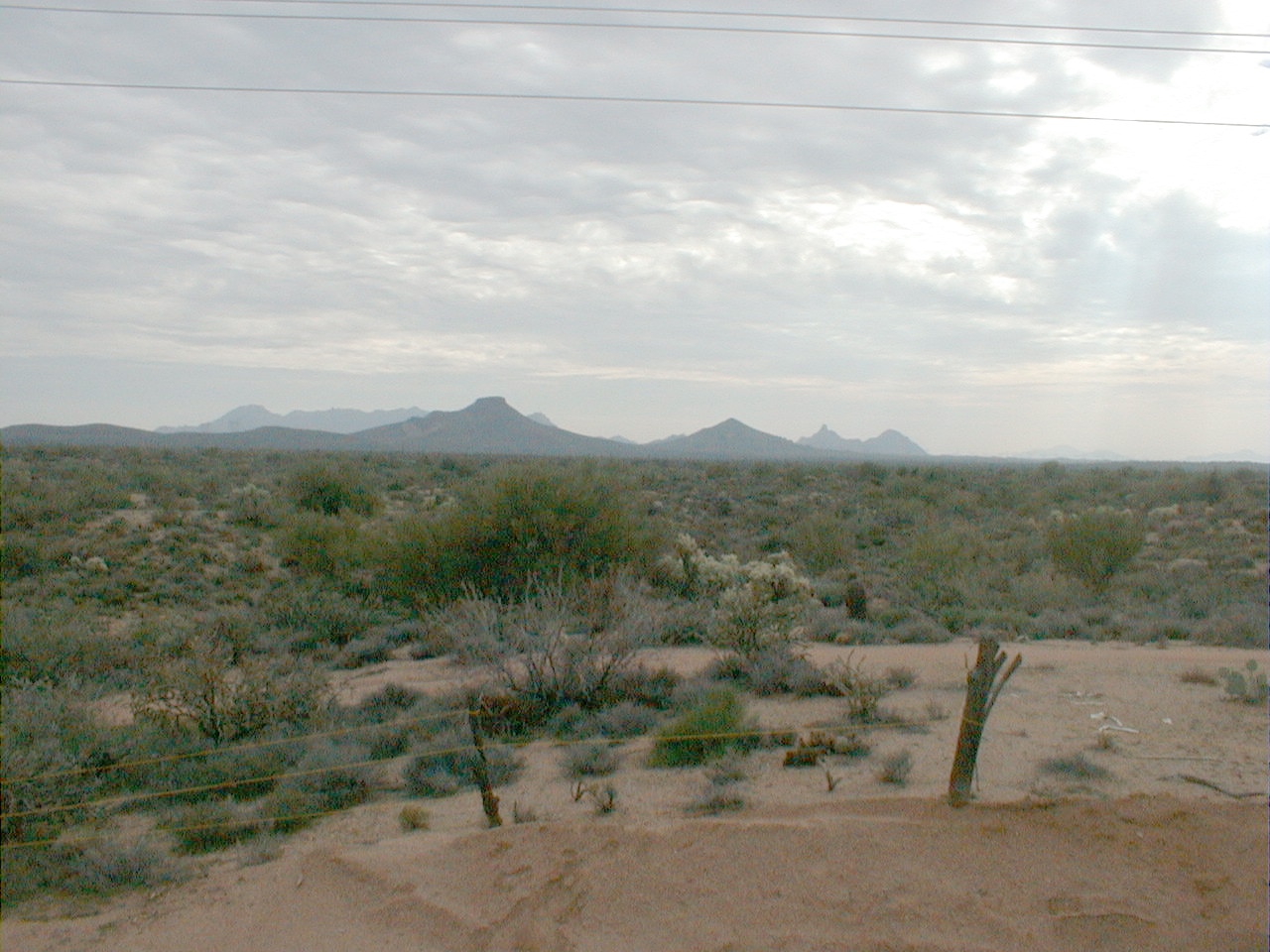
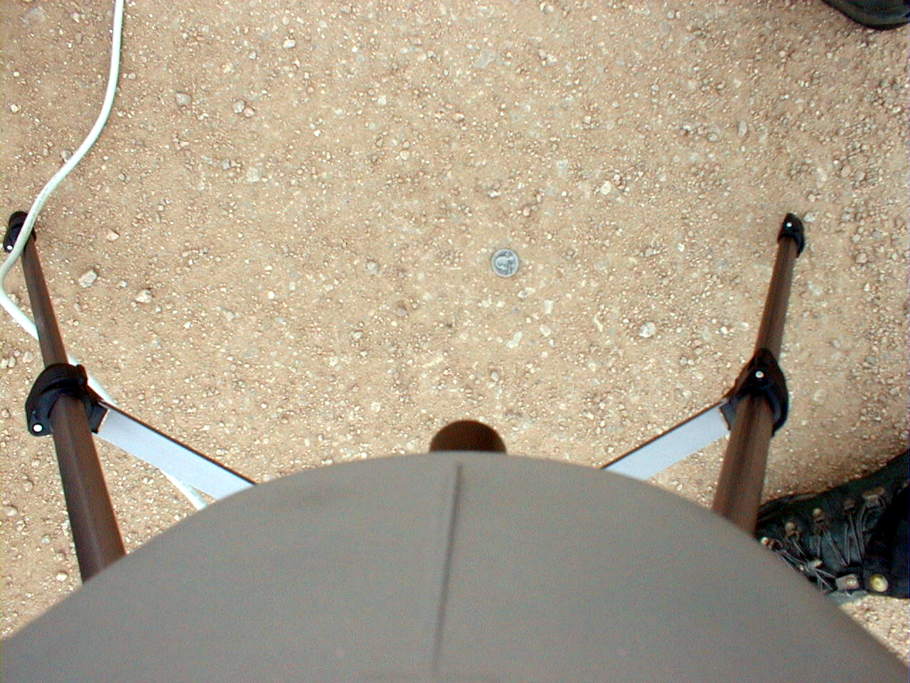
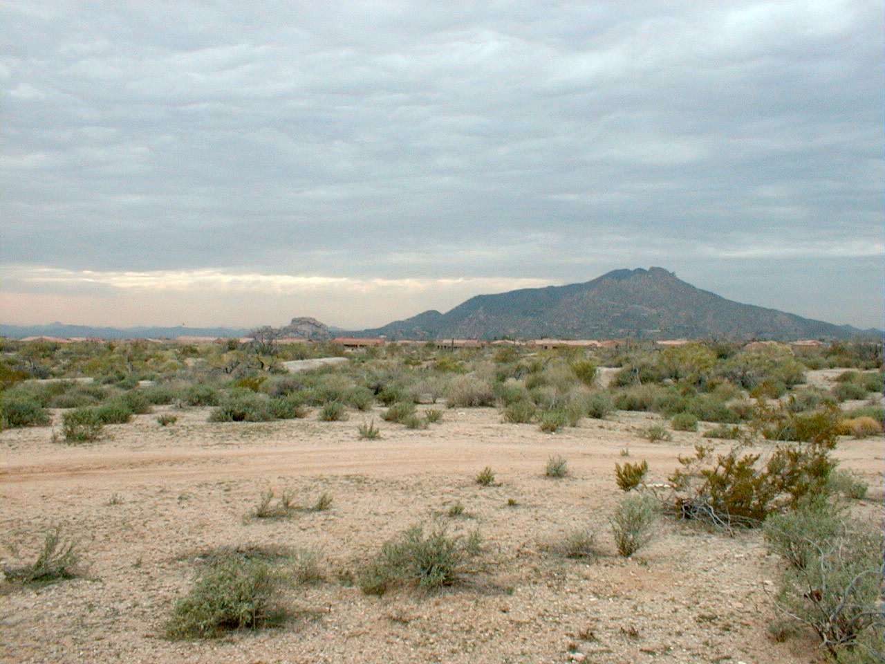
CCNE1 (granitic soil)--wide shot
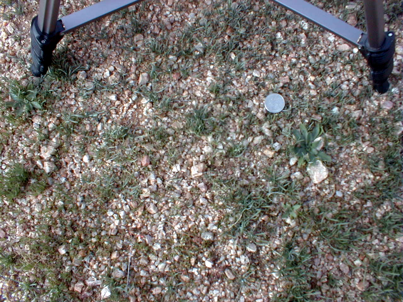
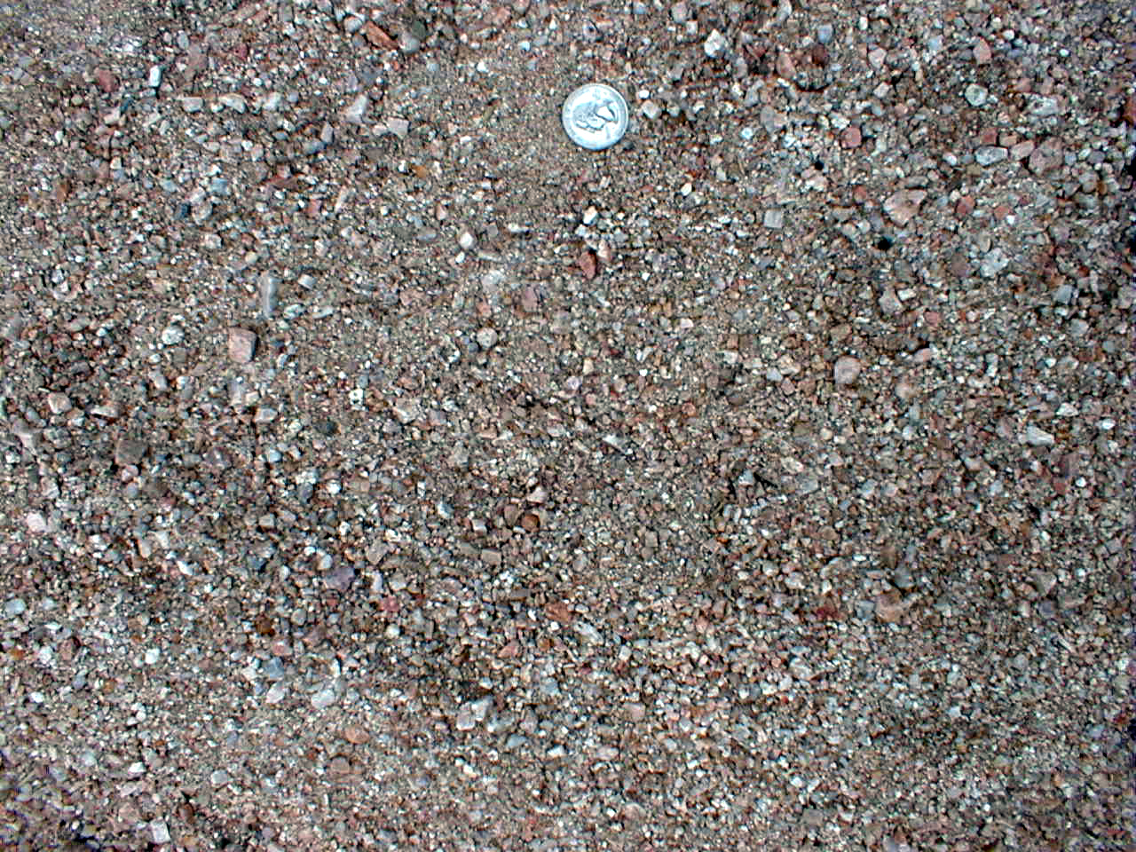
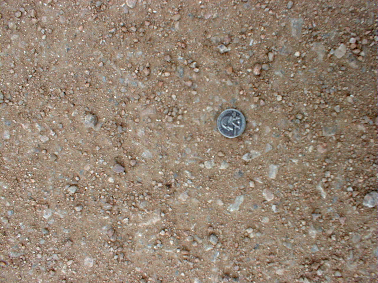
CCNE1 (granitic soil)

CCNE1 (granitic soil)

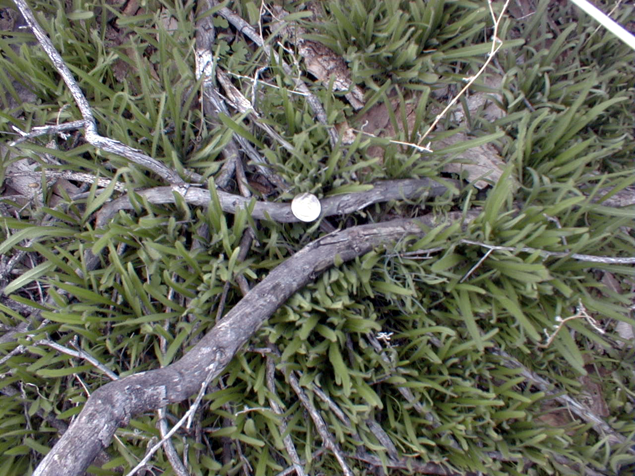
CCNE1 (Grass cover)
CCNE1 (Grass cover)
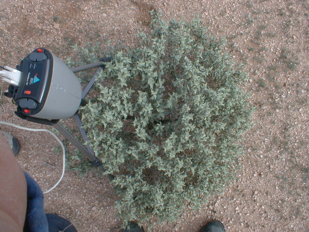
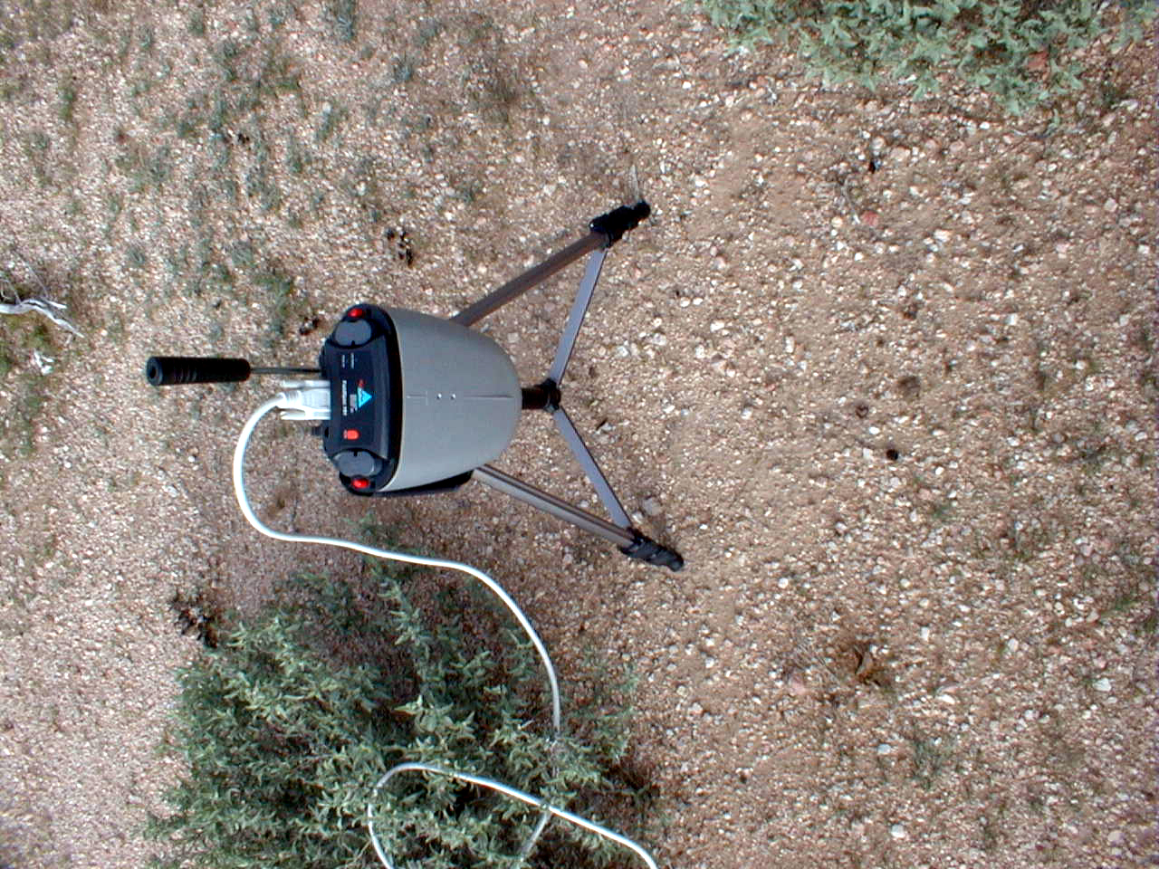
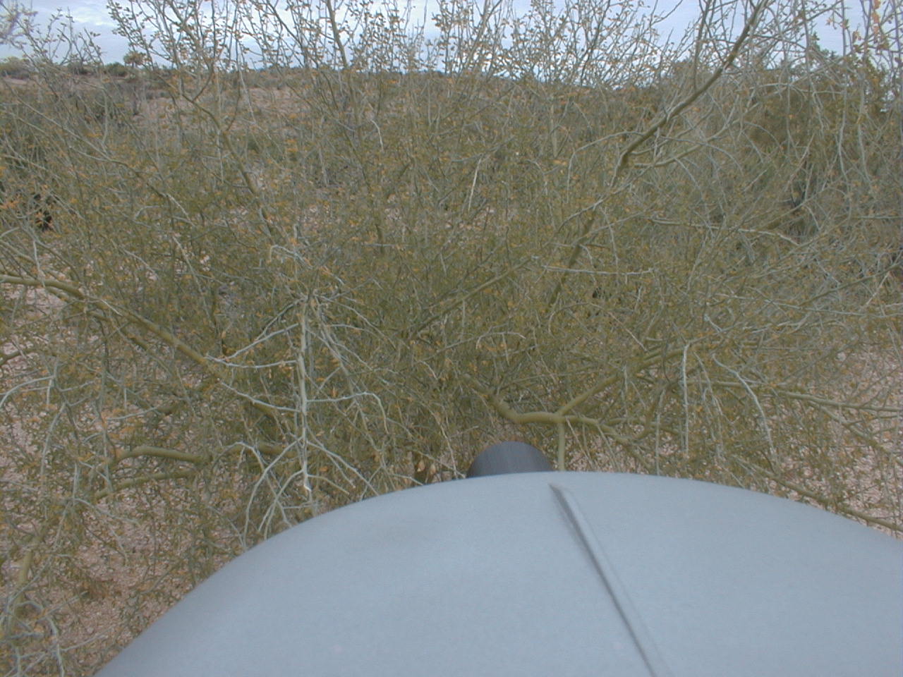
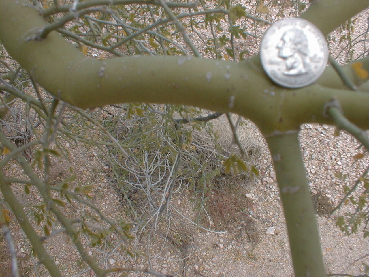
CCNE1 (Grey bush)
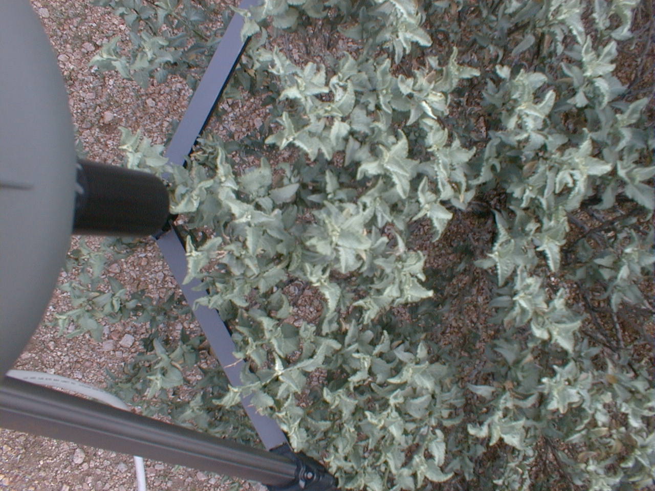
CCNE1 (Grey bush)
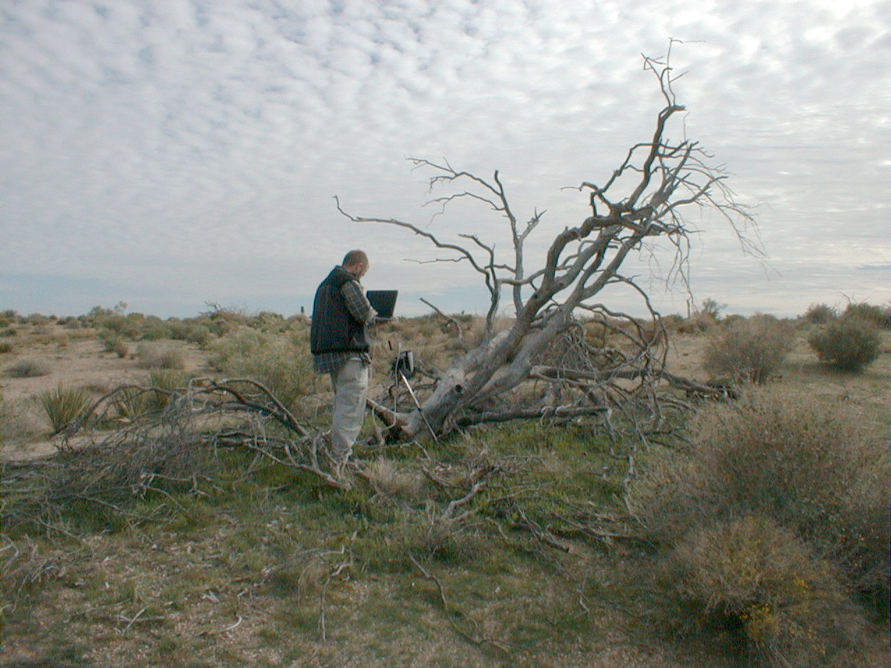
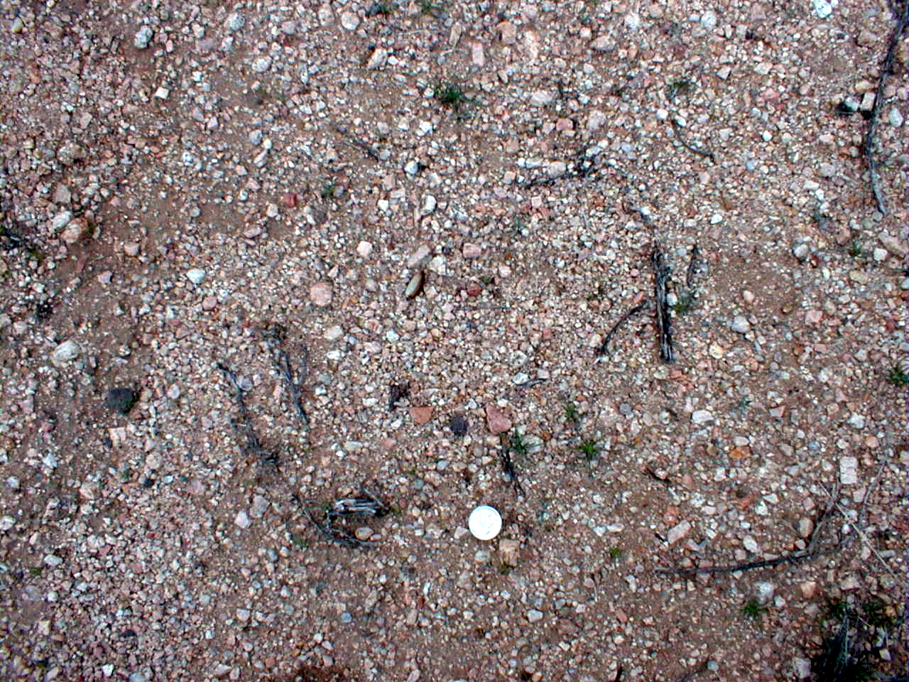
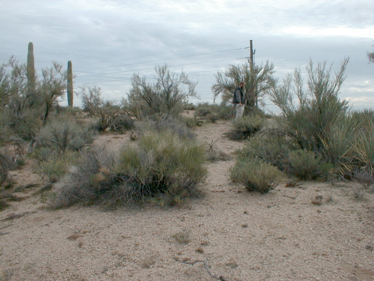
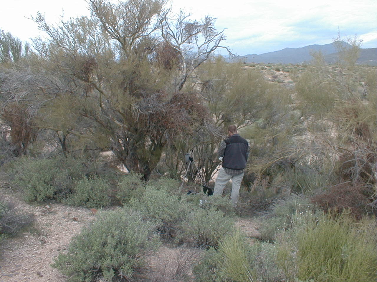
CCNE2 (SNAG)
CCNE2 (SNAG)

CCNE2 (SNAG)
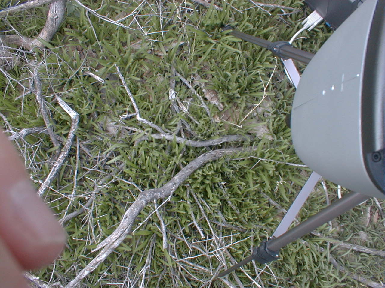
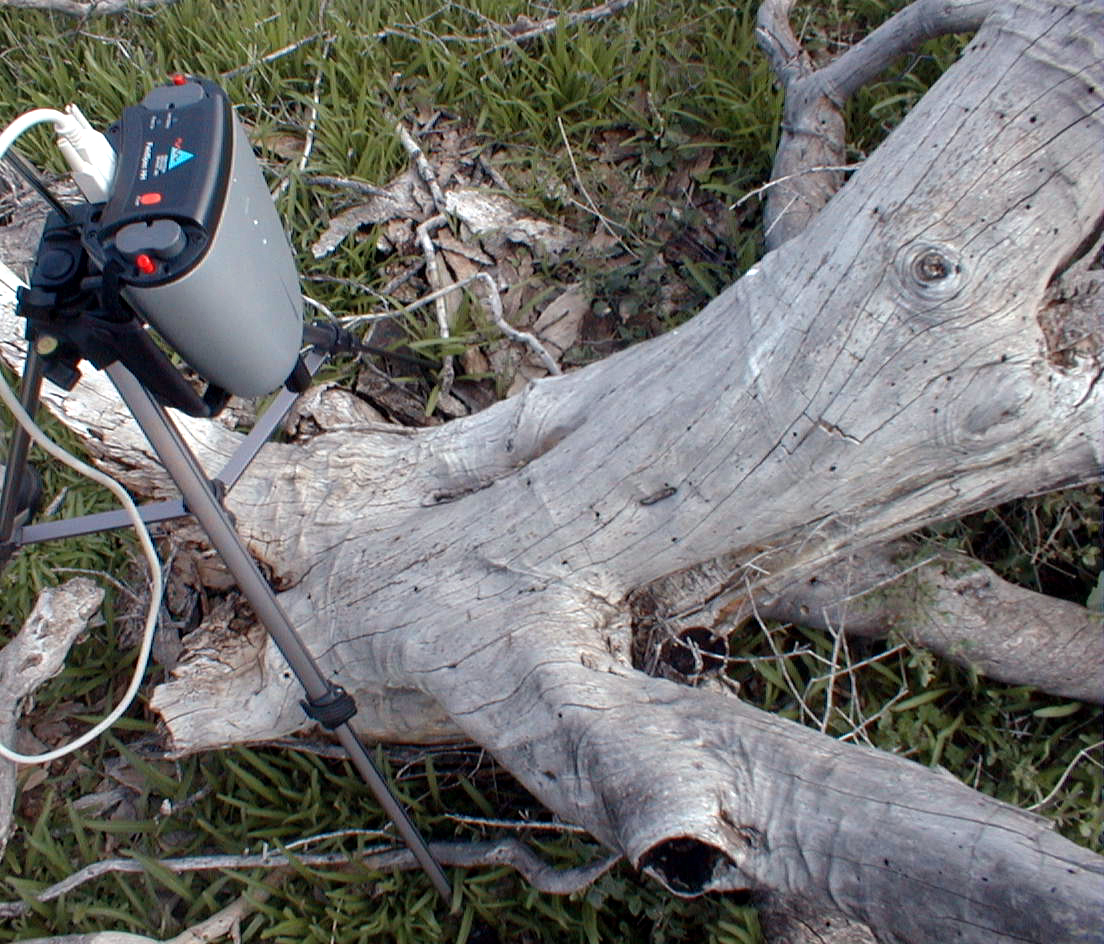
CCNE2 (SNAG+veg)
CCNE2 (SNAG+veg)
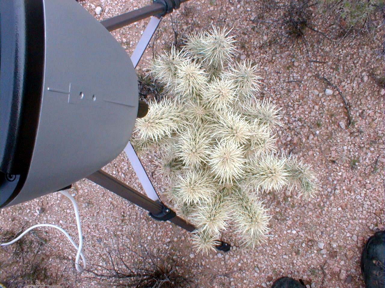
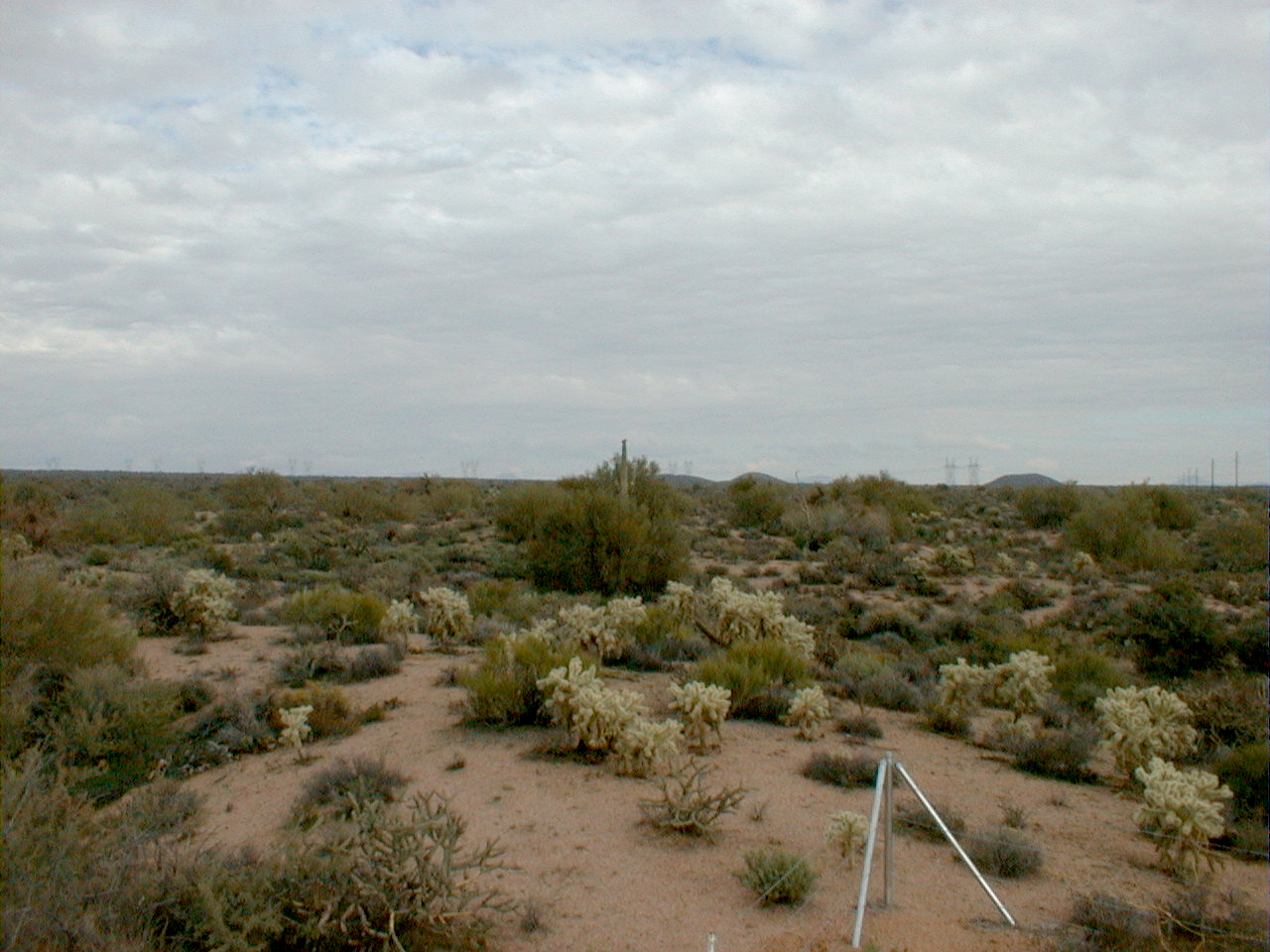
CCNE3 (cholla)
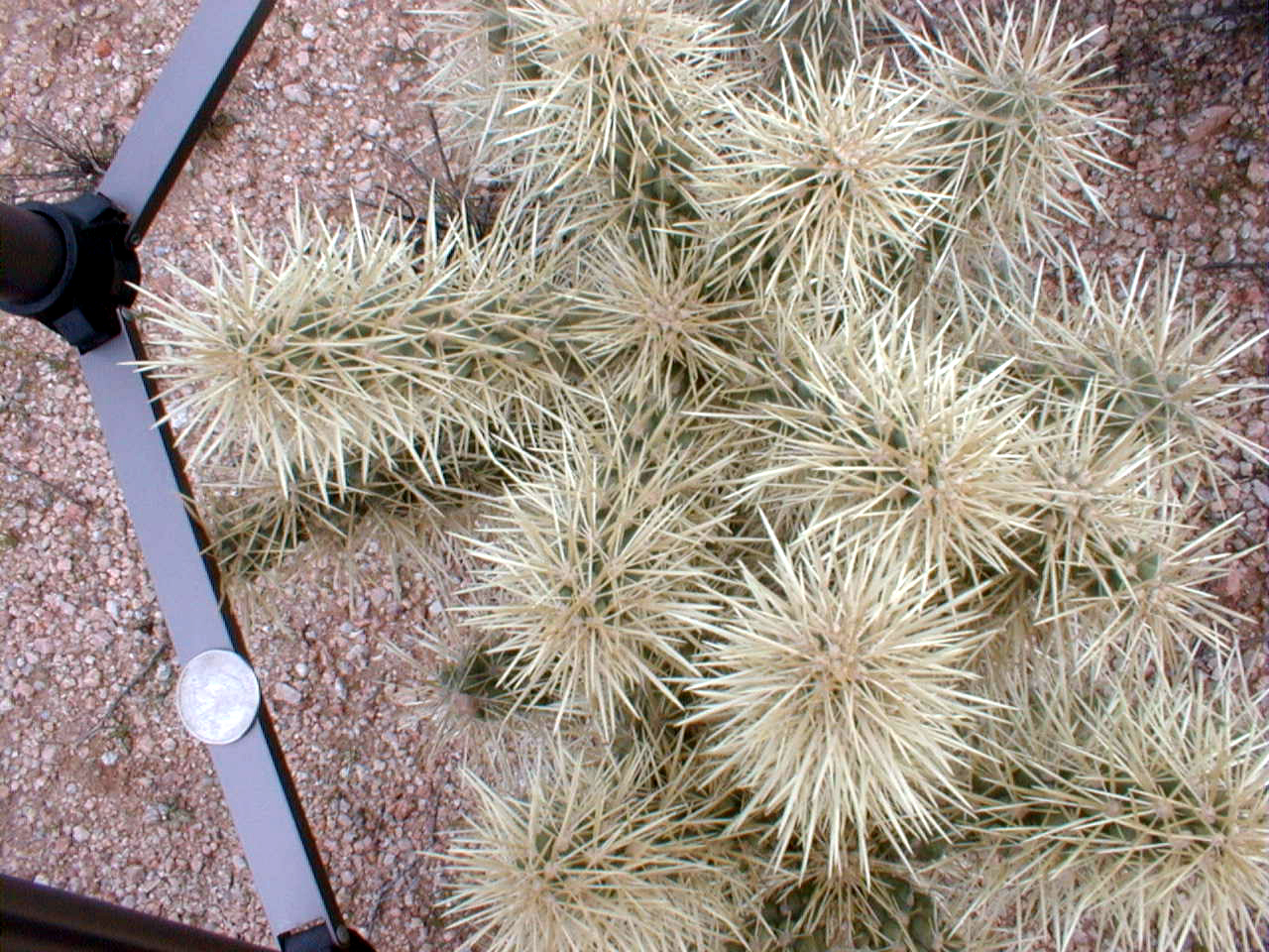
CCNE3 (cholla)
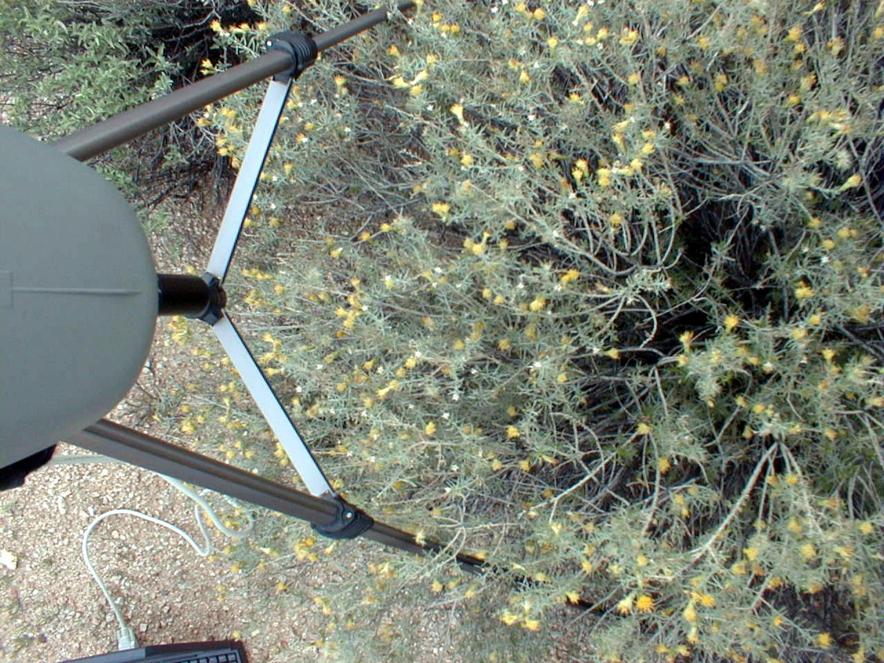
CCNE3 (grey bush with yellow flowers)
CCNE3 (granitic soil, low terrace)
CCNE3 (granitic soil, low terrace)
CCNE3 (granitic soil, low terrace)--overview

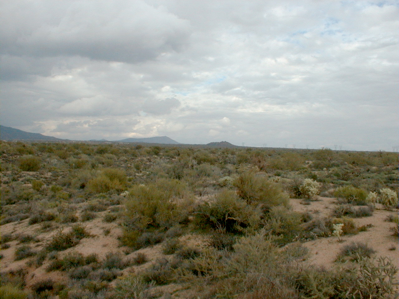
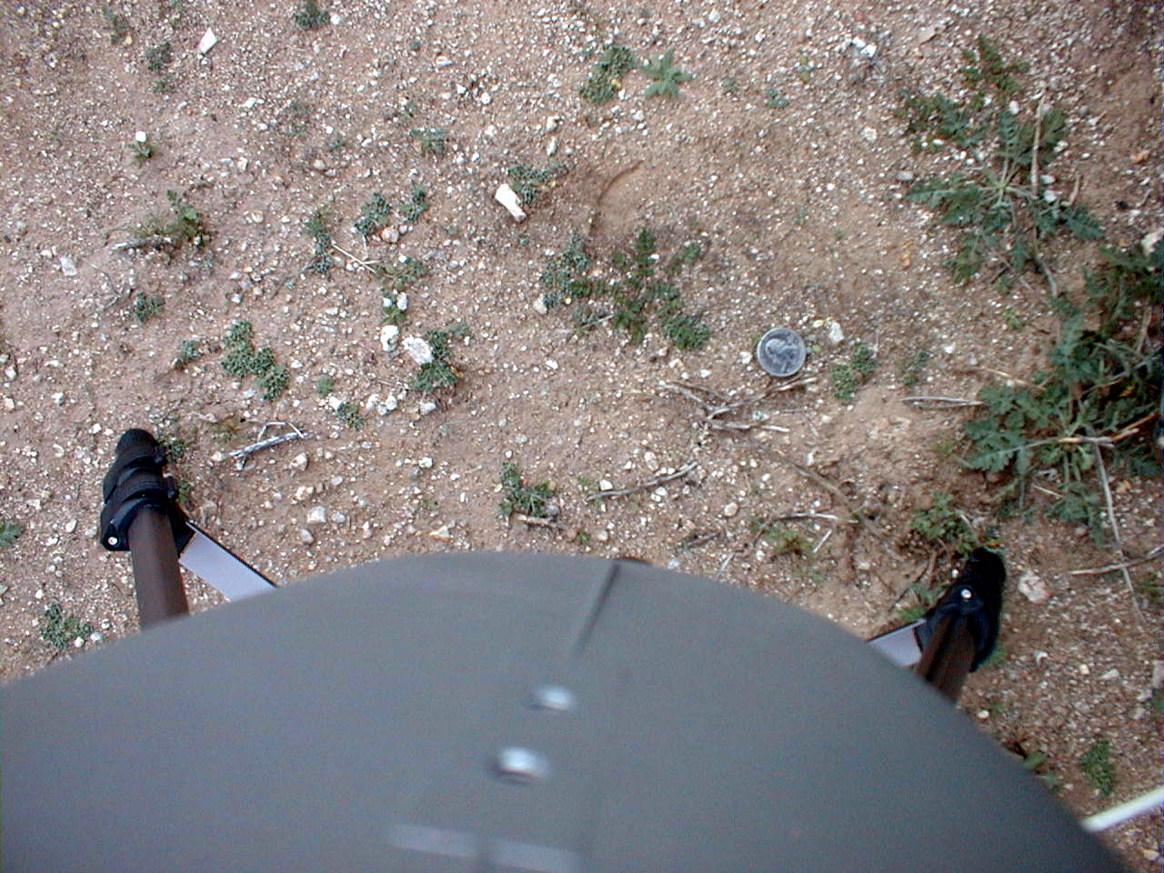
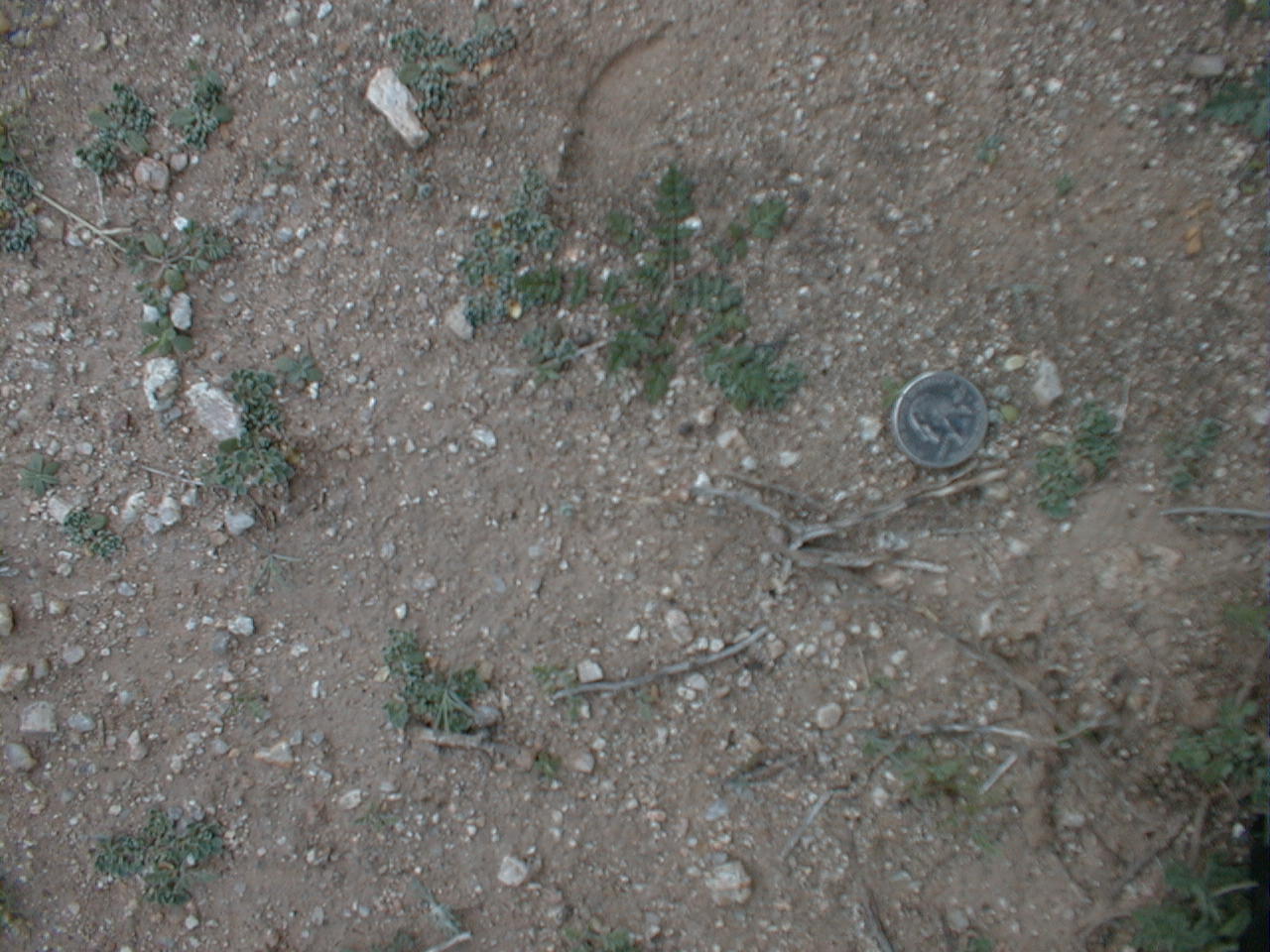
CCNE4 (dry bunchgrass)
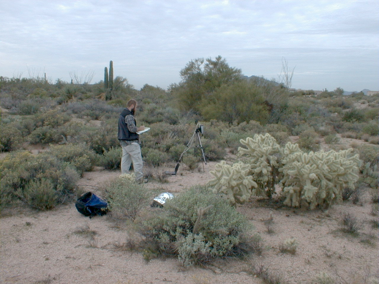
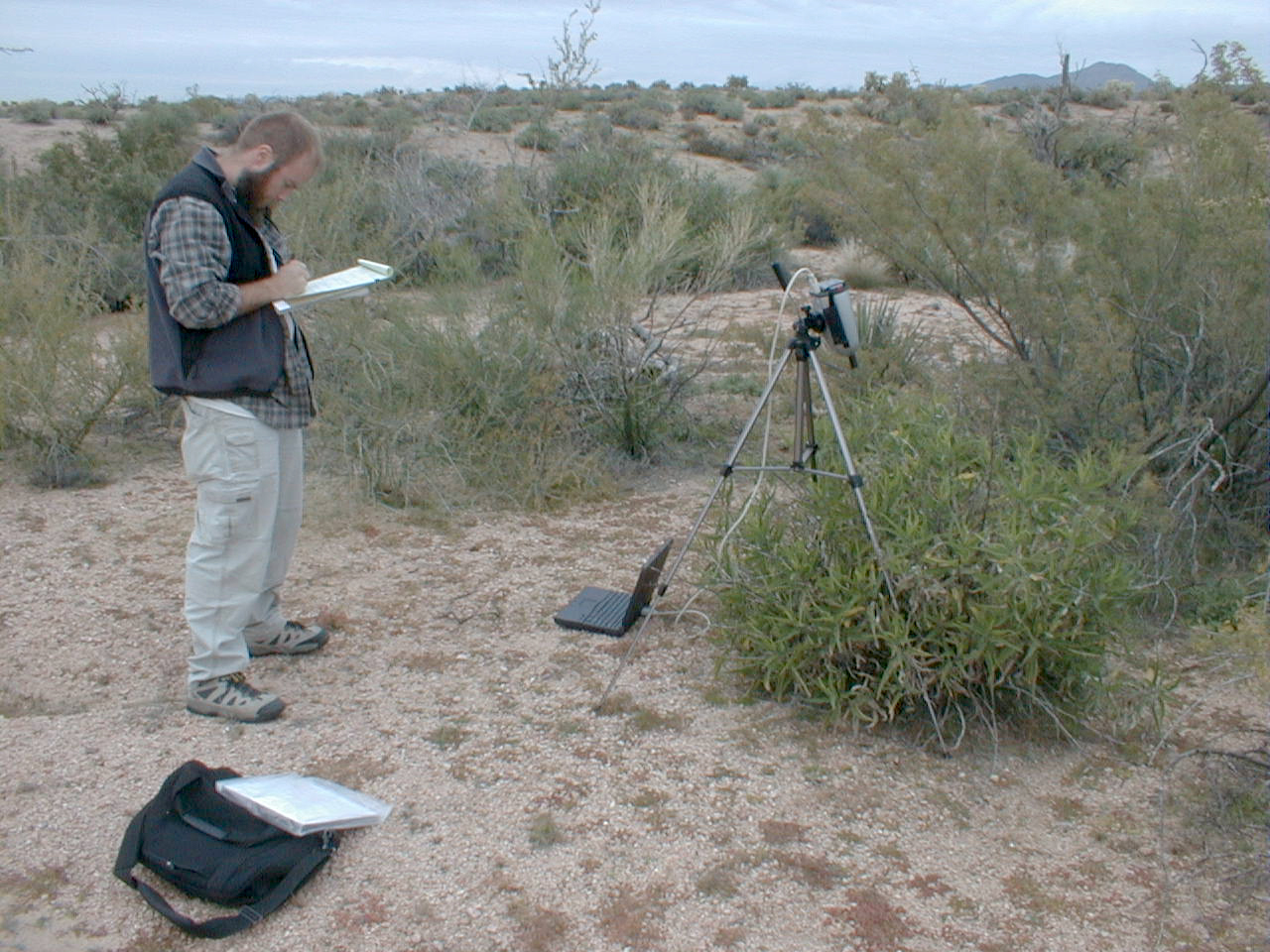
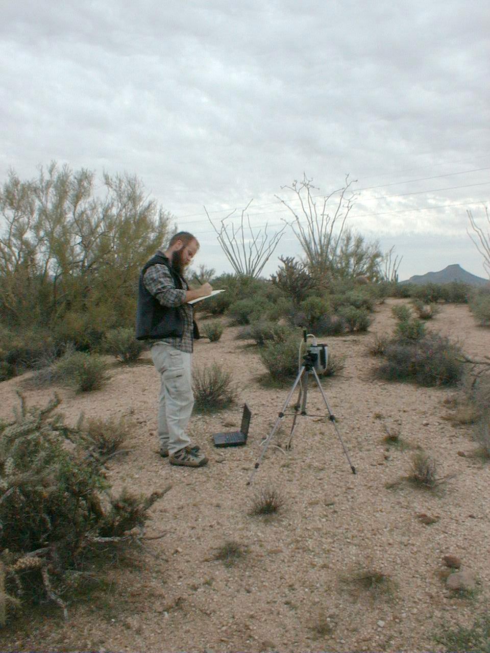
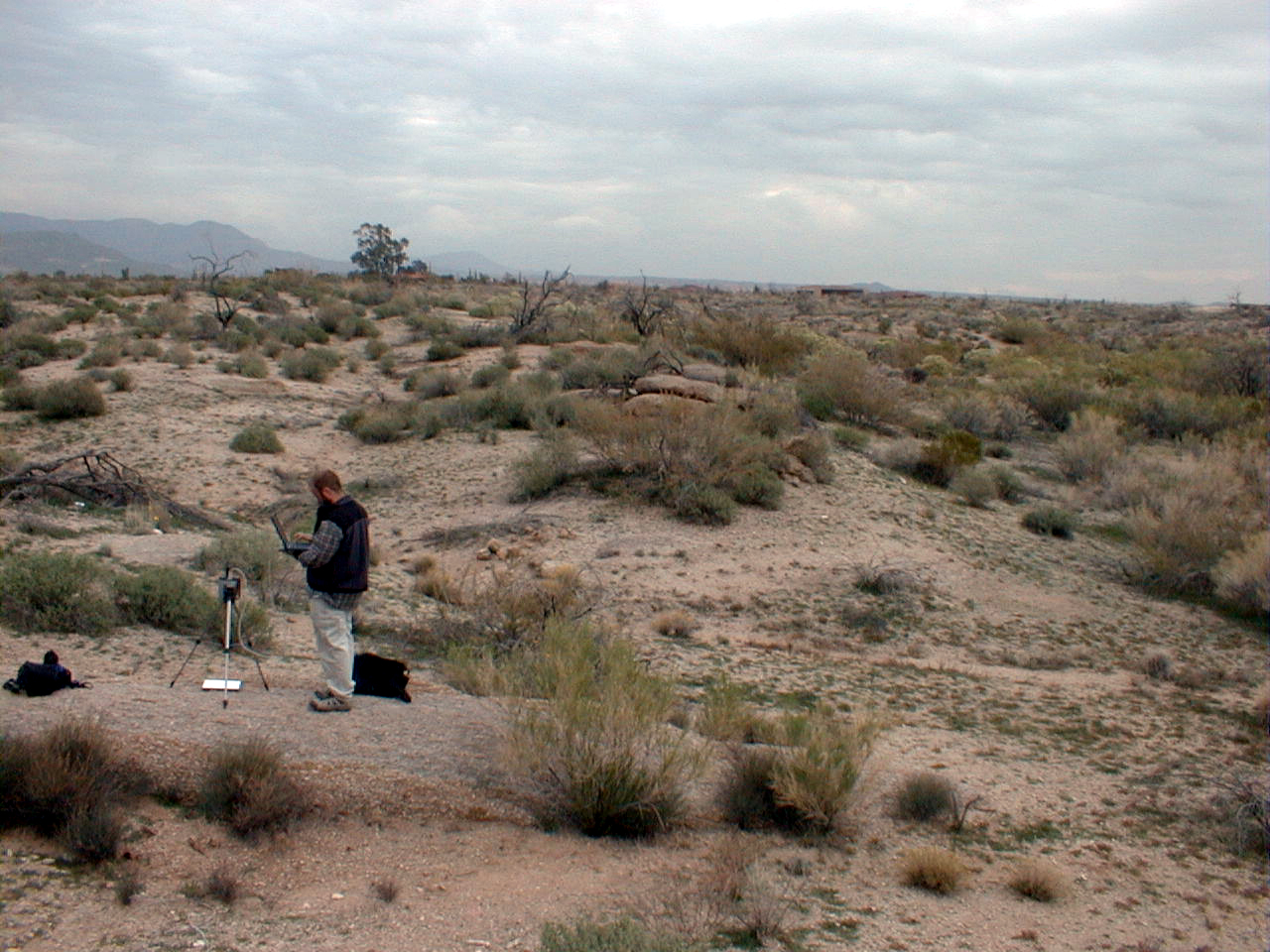
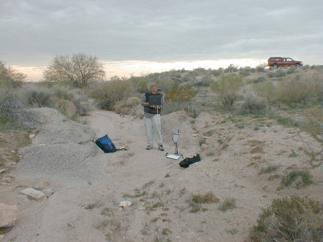
CCNE5--overview
CCNE5 (wash bottom, disturbed)
CCNE5 (wash bottom, disturbed)
CCNE6 (wash bottom, undisturbed)

CCNE6 (wash bottom, undisturbed)
CCNE6 (Palo Verde)

CCNE6 (Palo Verde)
CCNE6 (Palo Verde)
CCNE6 (triangular broad-leafed plant)
CCNE6 (triangular broad-leafed plant)
CCNE6 (reddish brown woody bush)
CCNE6 (reddish brown woody bush)

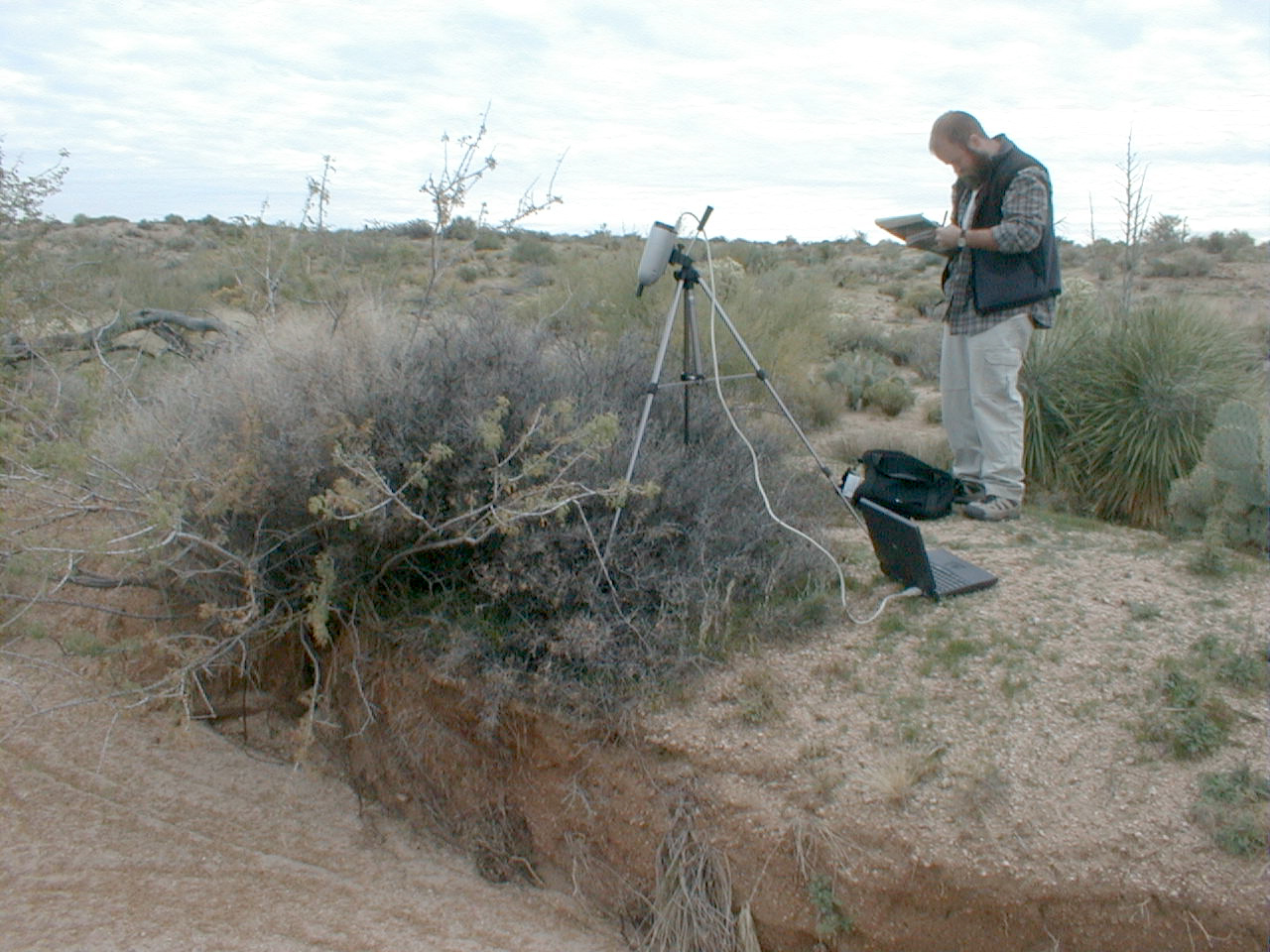
CCNE6 (prickly pear)
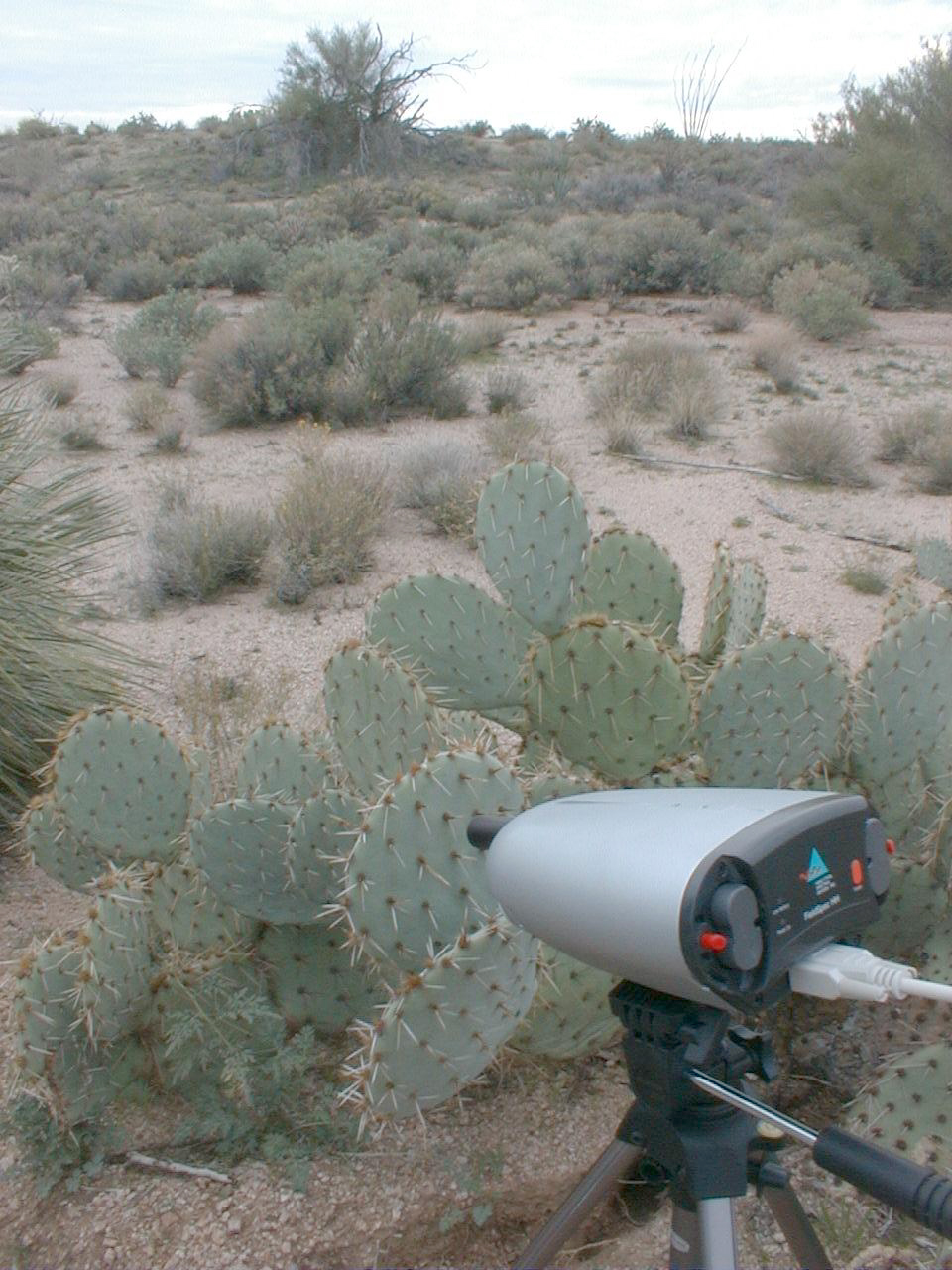
CCNE6 (prickly pear)
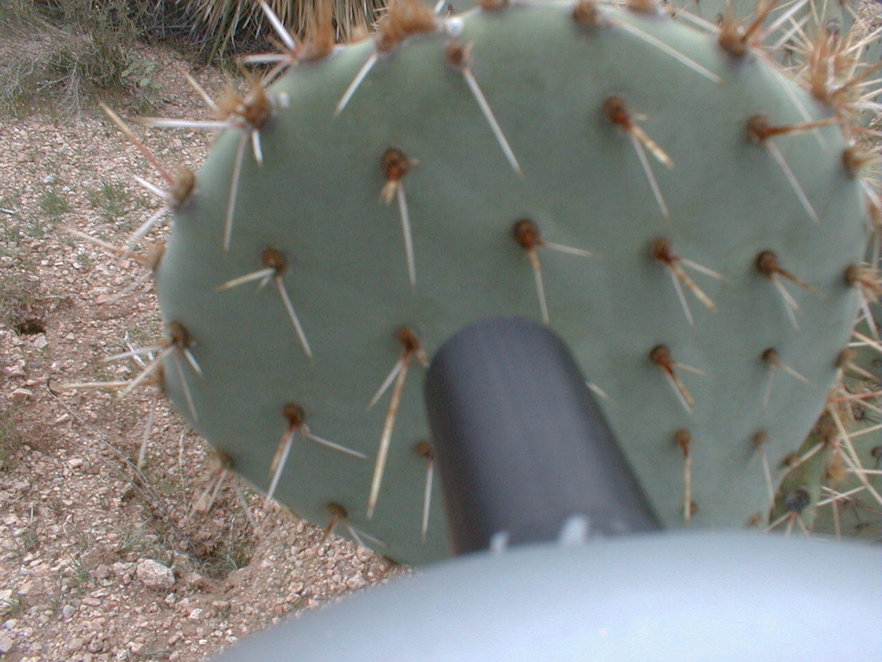
CCNE6 (prickly pear)
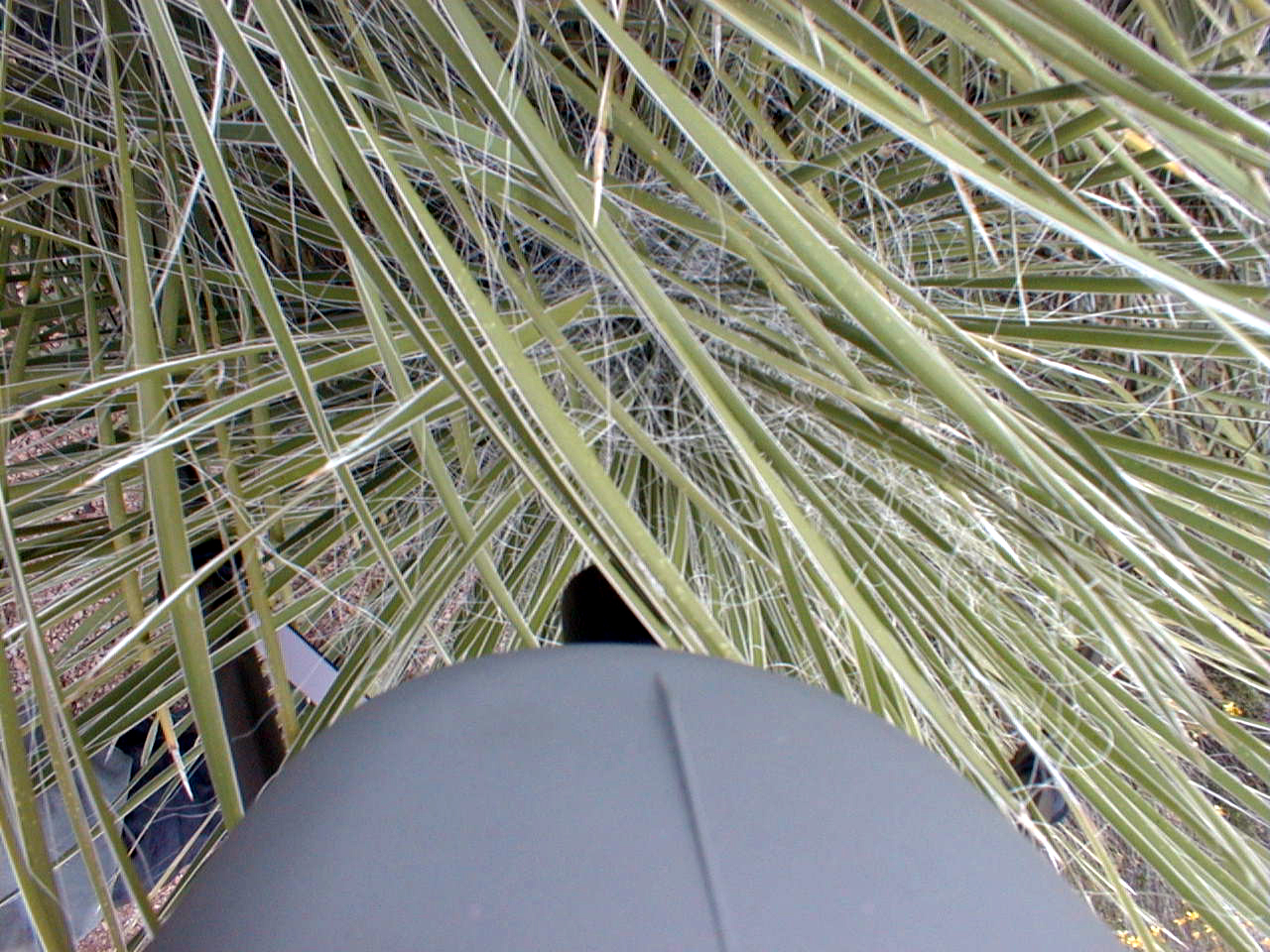
CCNE6 (thin blade yucca)
CCNE6 (thin blade yucca)
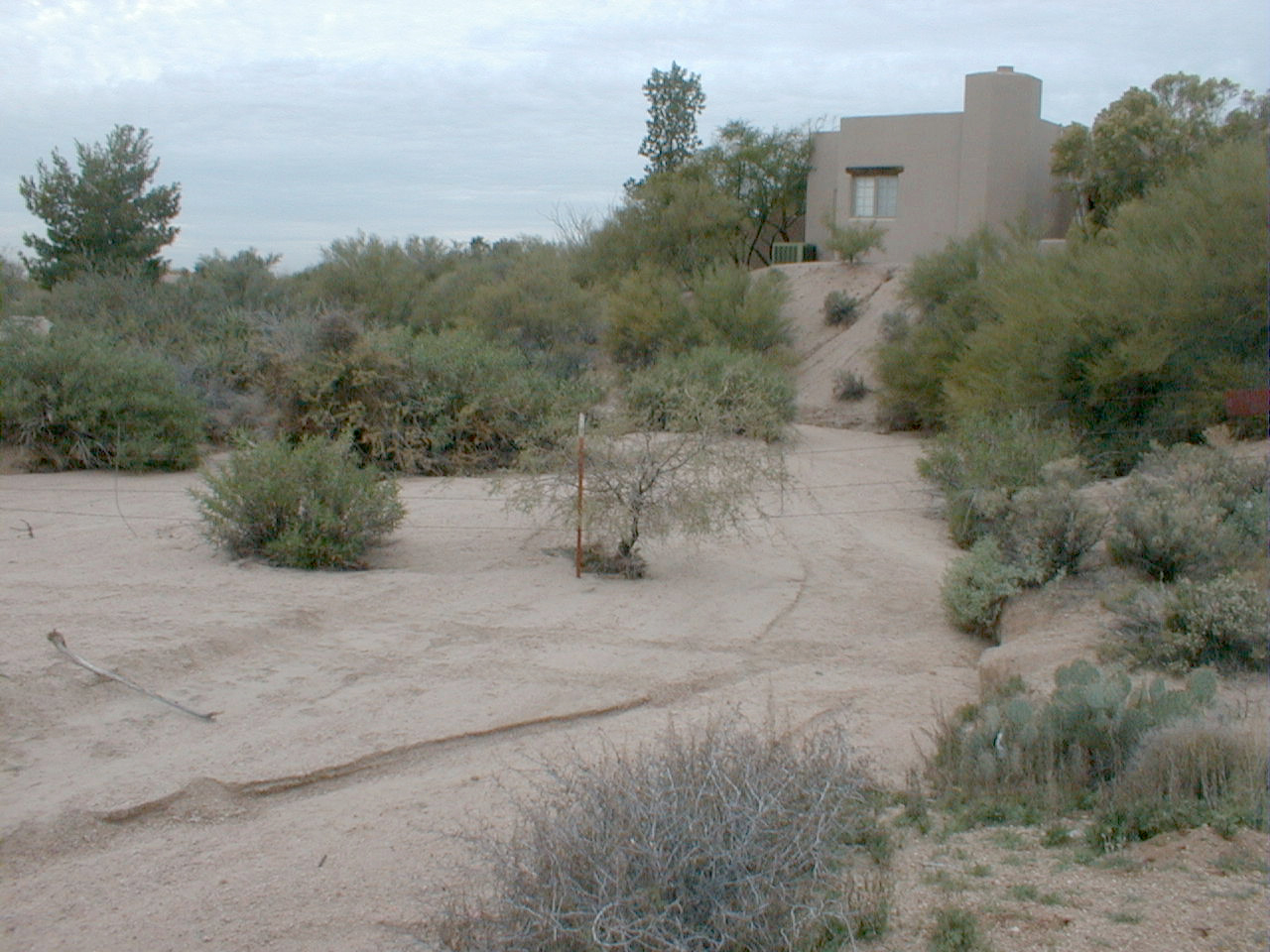
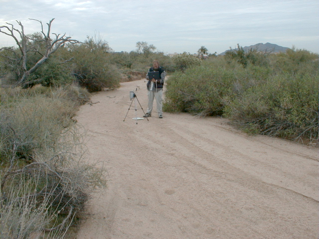
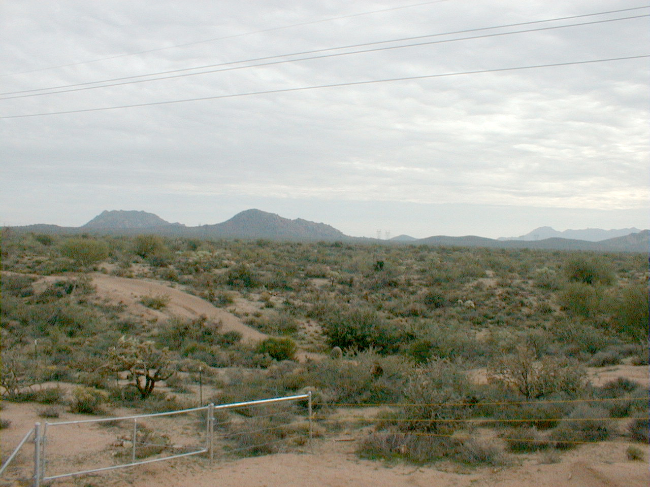
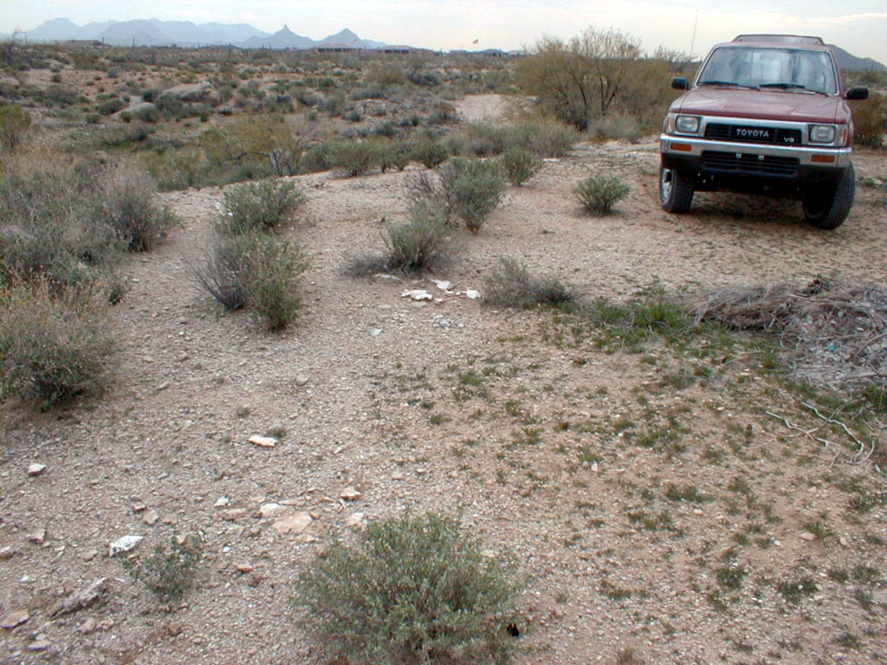
CCNE7 (End of wash, entry to development)
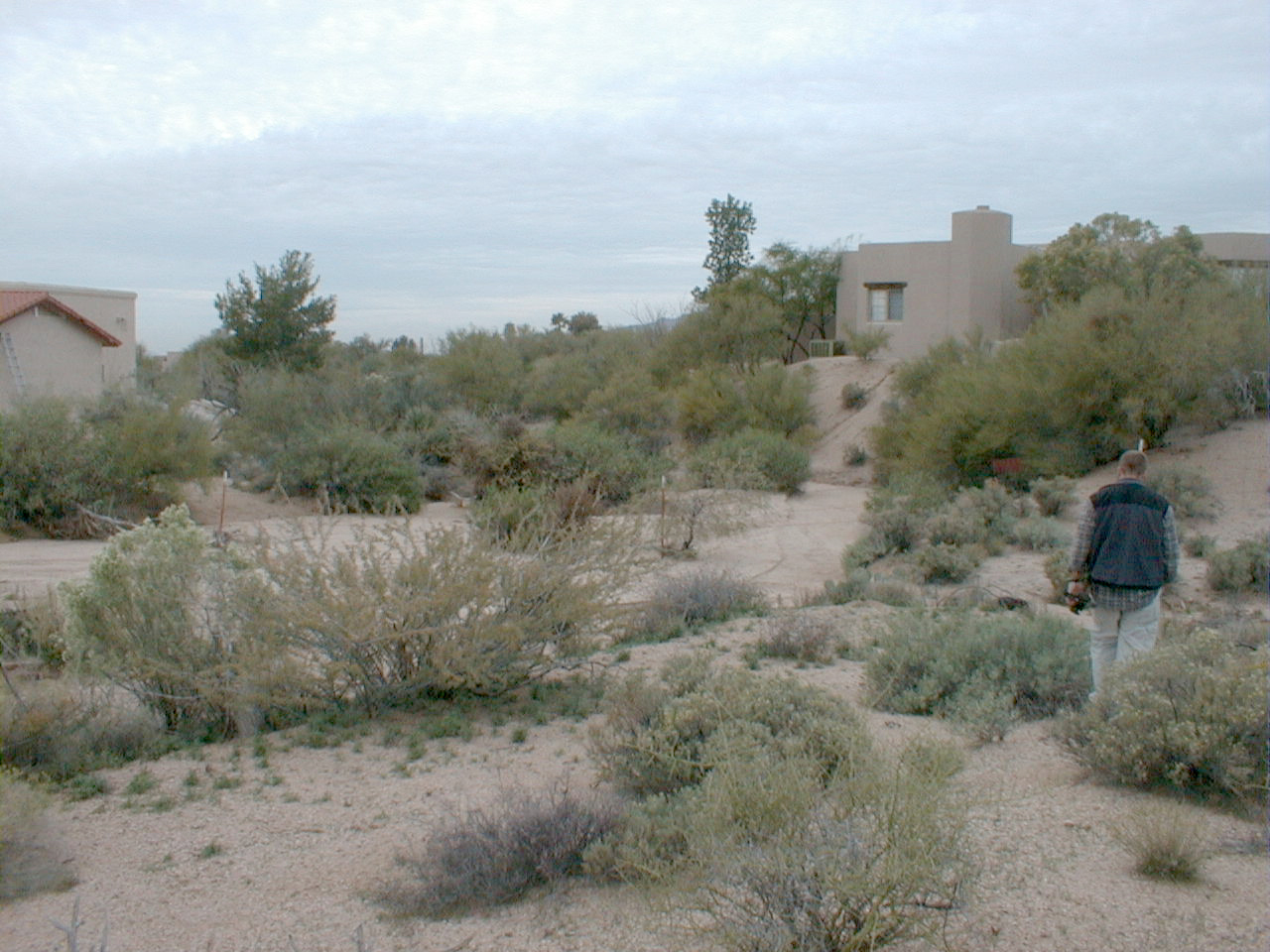
CCNE7 (End of wash, entry to development)
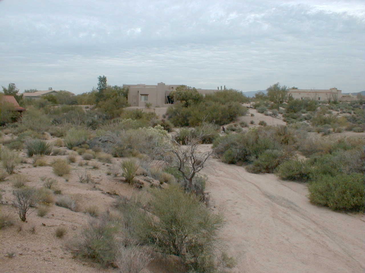
CCNE7 (End of wash, entry to development)
CCNE7 (Burned saguaro)
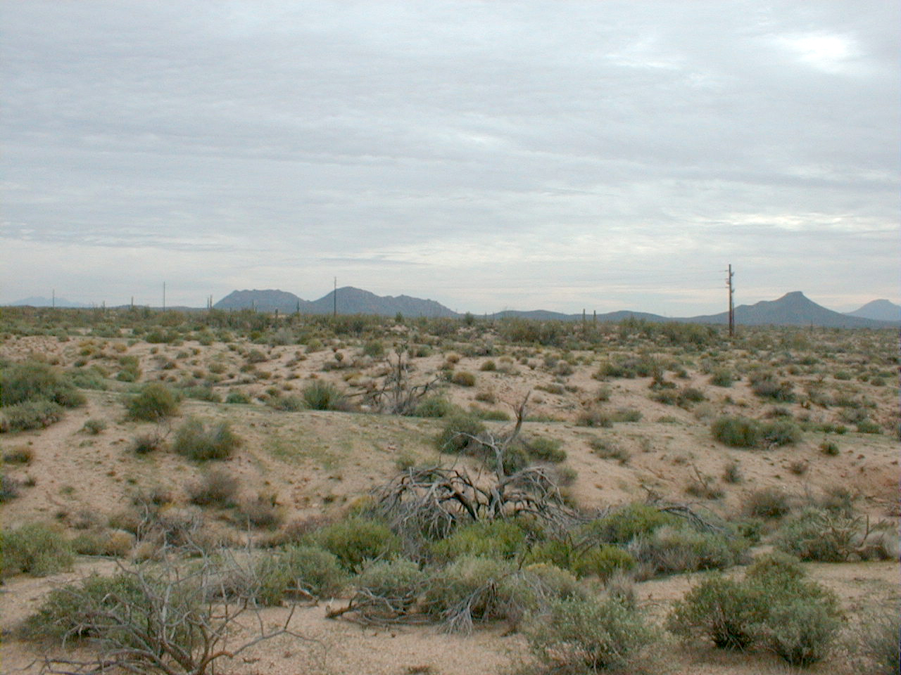
Panorama showing nonburned zone near road
Panorama showing nonburned zone near road

Panorama showing nonburned zone near road
Panorama showing nonburned zone near road
CCNE8 (drainage in burned zone)

CCNE9 (View northeast with burned zone on left
and non burned on right)
CCNE9 (View south at unburnt area)
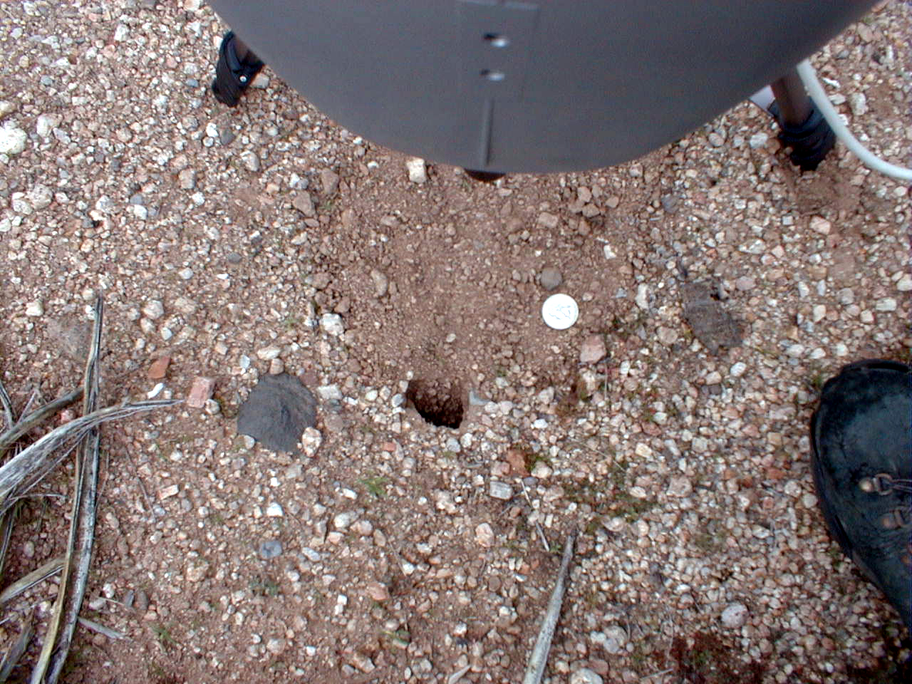
CCNE9 (bioturbated soil)
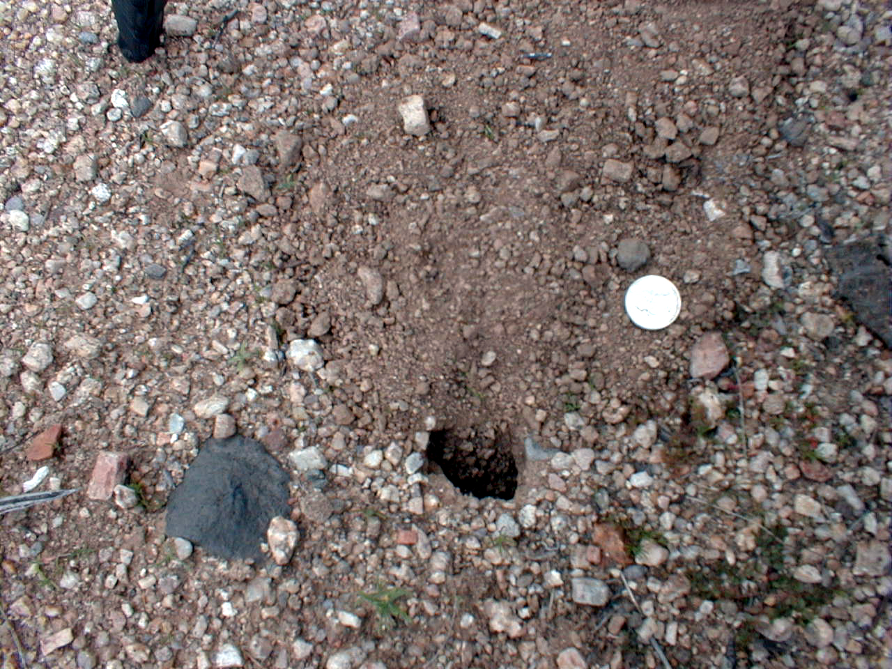
CCNE9 (bioturbated soil)

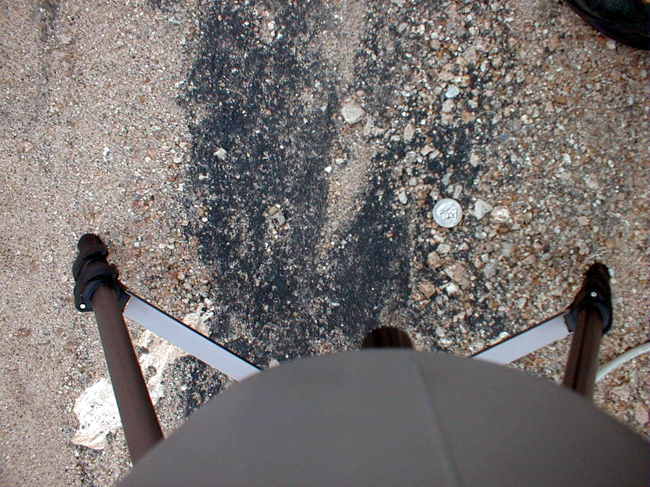
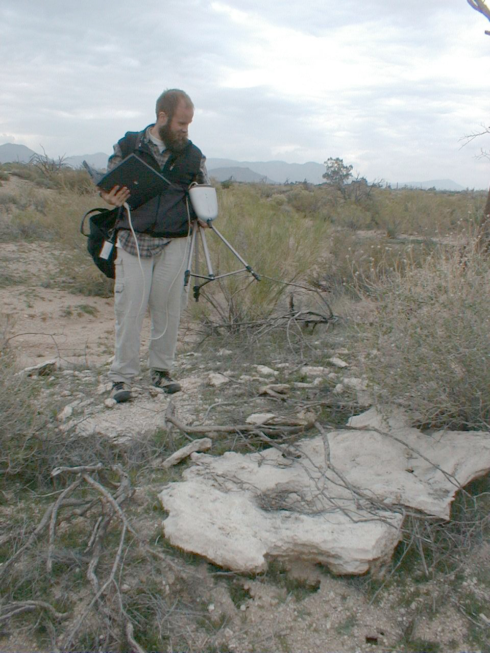
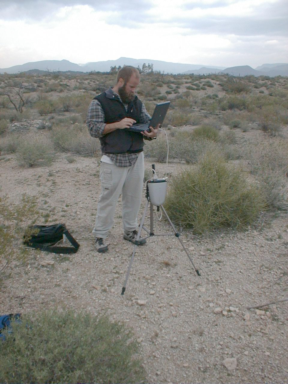
CCNE9 (Palo Verde "under soil")--Set up picture

CCNE9 (Palo Verde "under soil")
CCNE9 (Palo Verde "under soil")
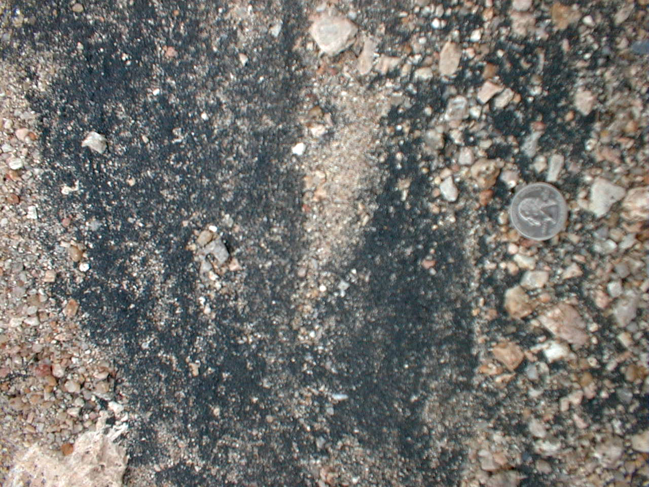
CCNE9 (Palo Verde "under soil")--overview
CCNE9 (Palo Verde "under soil" #2)

CCNE9 (Palo Verde "under soil" #2)
CCNE9 (Ridge unburned soil)
CCNE9 (Ridge unburned soil)

CCNE9 (Ridge unburned soil)
CCNE10 Panorama looking west
CCNE10 Panorama
CCNE10 Panorama
CCNE10 Panorama
CCNE10 Panorama
CCNE10 Panorama

CCNE10 Panorama

CCNE10 Panorama
CCNE10 Panorama
CCNE10 Panorama
CCNE10 Panorama

CCNE10 Panorama looking west

CCNE11 (golf course)
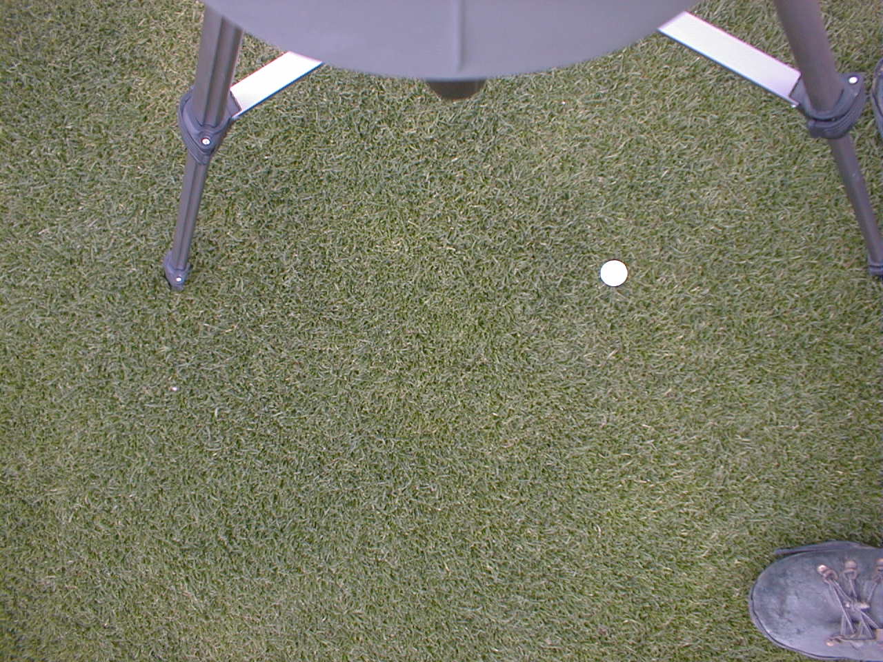
CCNE11 (golf course)
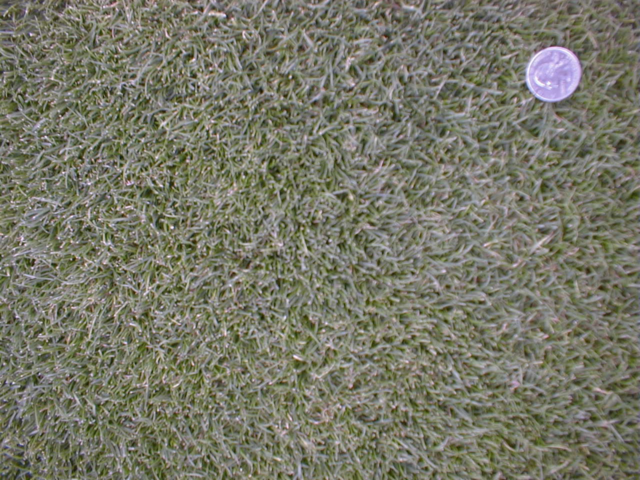
CCNE11 (golf course)
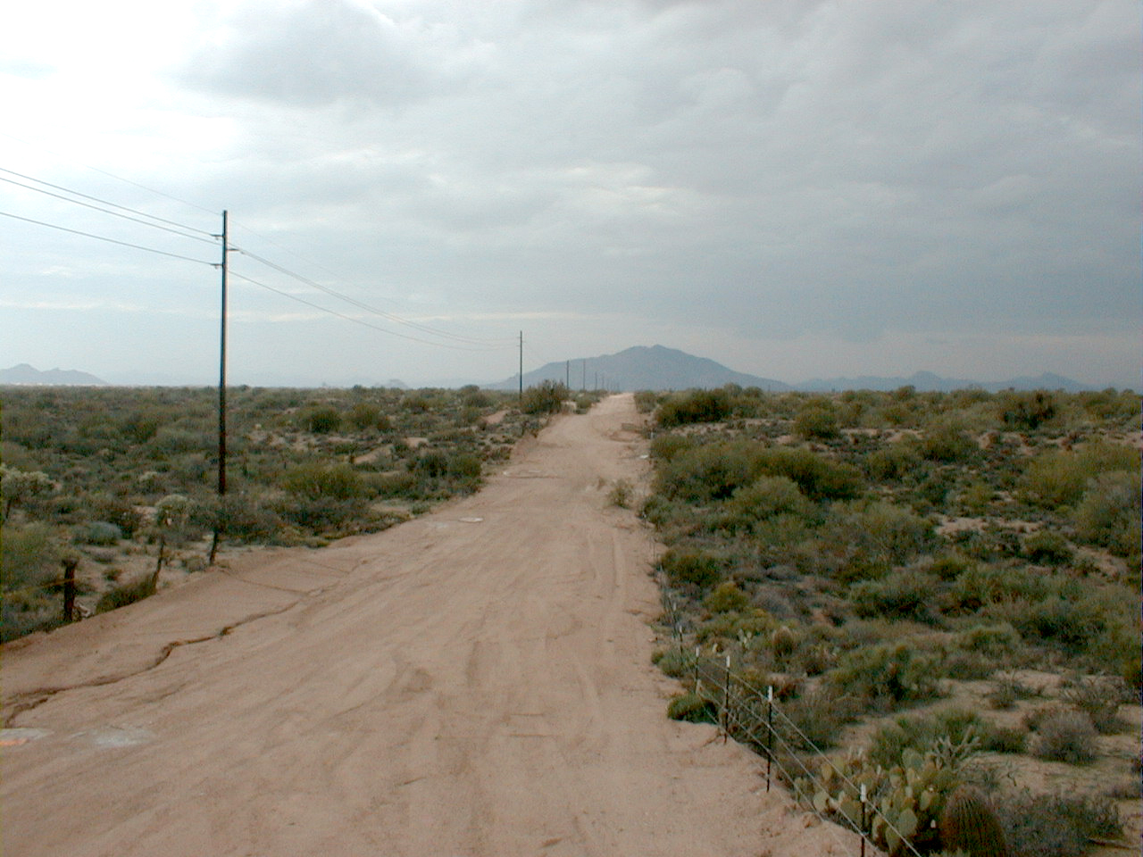
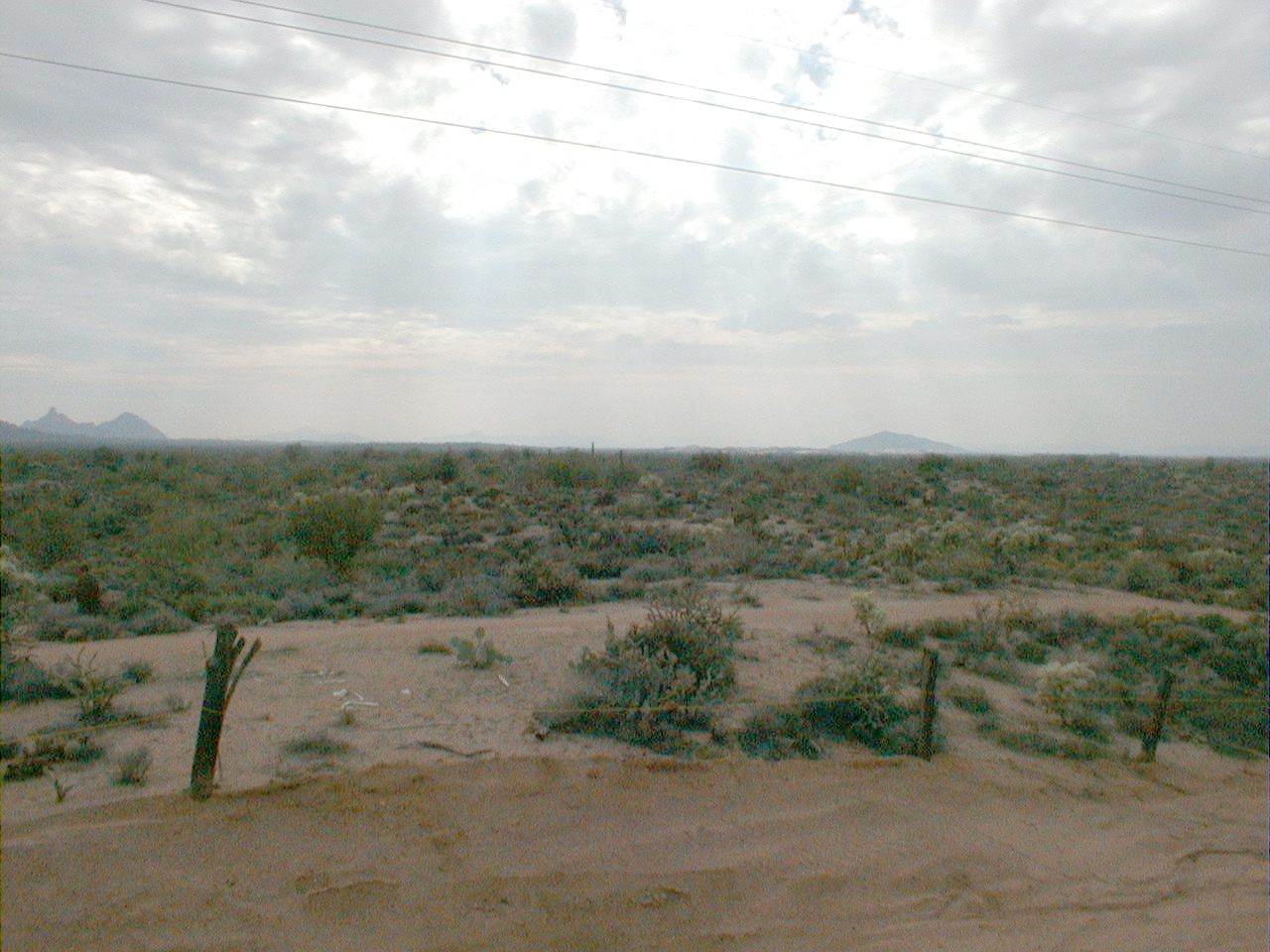
CCNE1 (dirt road)
CCNE1 (dirt road)
CCSW1 (Overview)
CCSW1 (laminar carbonate)
CCSW1 (View of Boulders Resort)
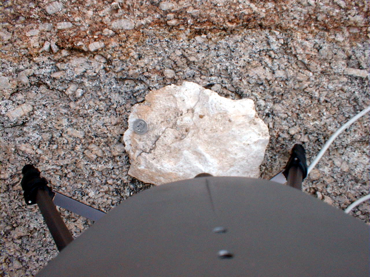
CCSW1 (Caliche)
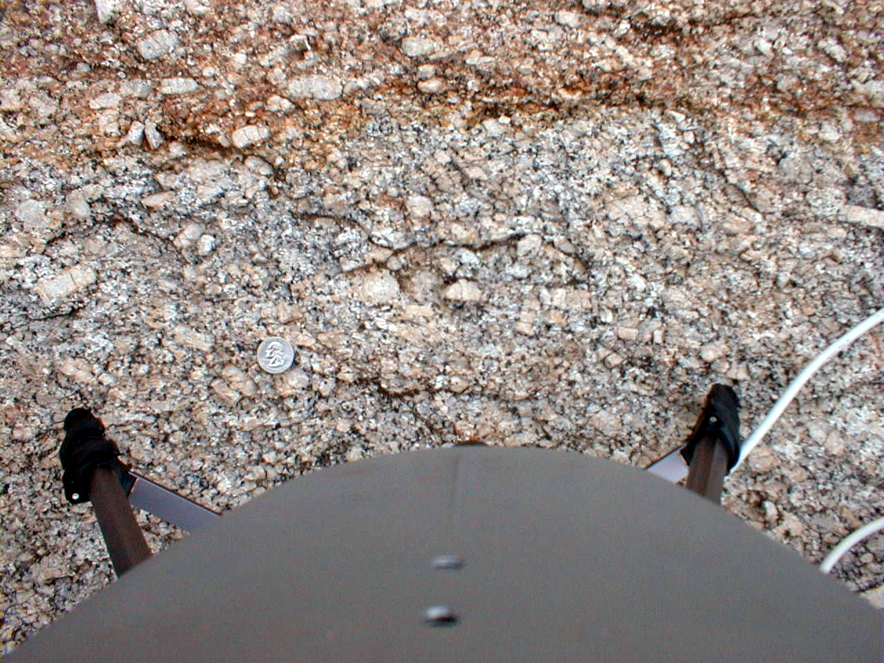
CCSW1 (granite)
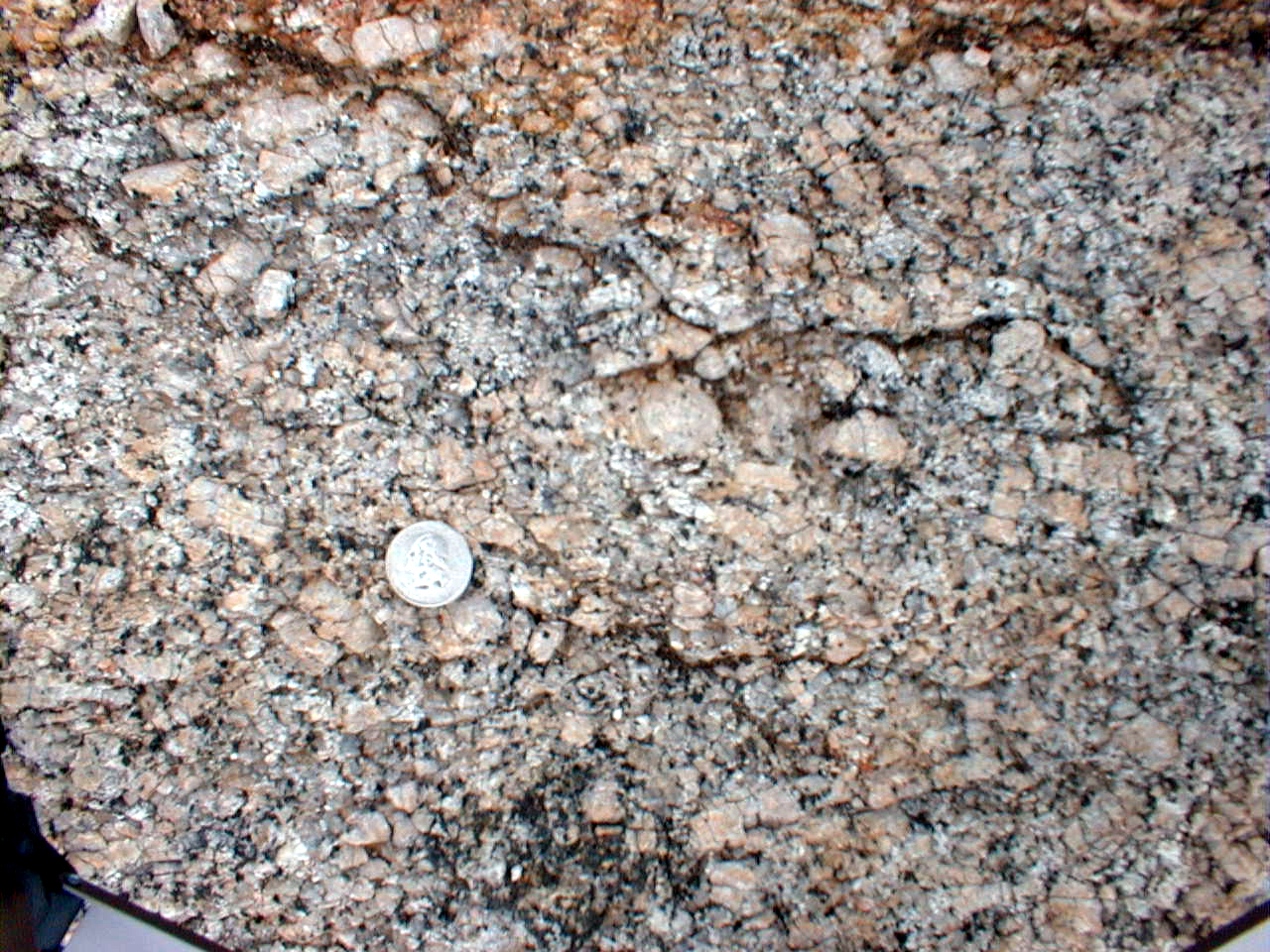
CCSW1 (granite)
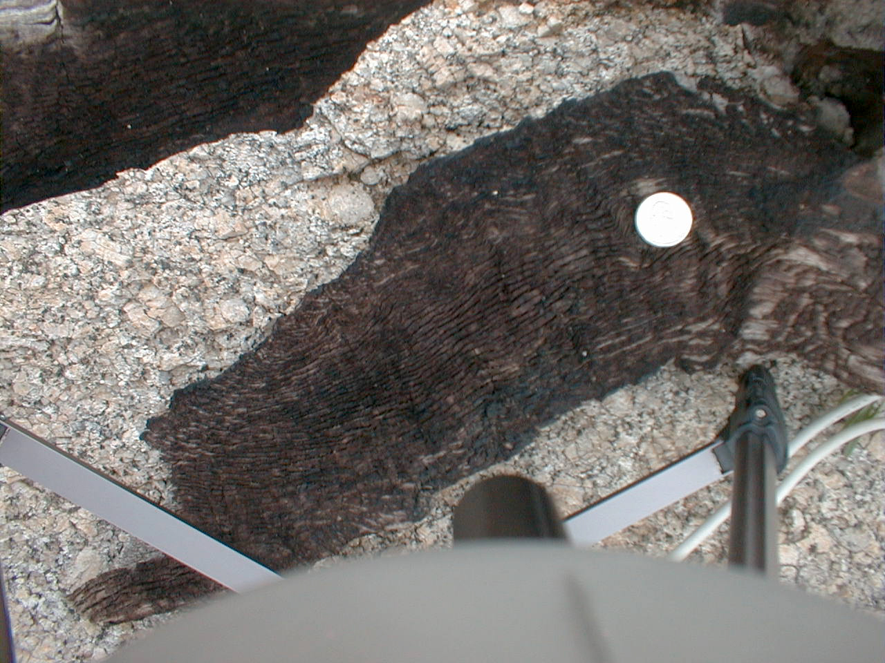
CCSW1 (burnt wood)
CCSW2 (Lower terrace soil)
CCSW2 (Lower terrace soil)
CCSW3 (Biotite lag)--overview
CCSW3 (Biotite lag)
CCSW3 (Biotite lag)
Laminar carbonate between CCSW3 and CCSW4
CCSW4 (Caliche + Granite soil)--Overview

CCSW4 (Caliche + Granite soil)

CCSW4 (Caliche + Granite soil)