
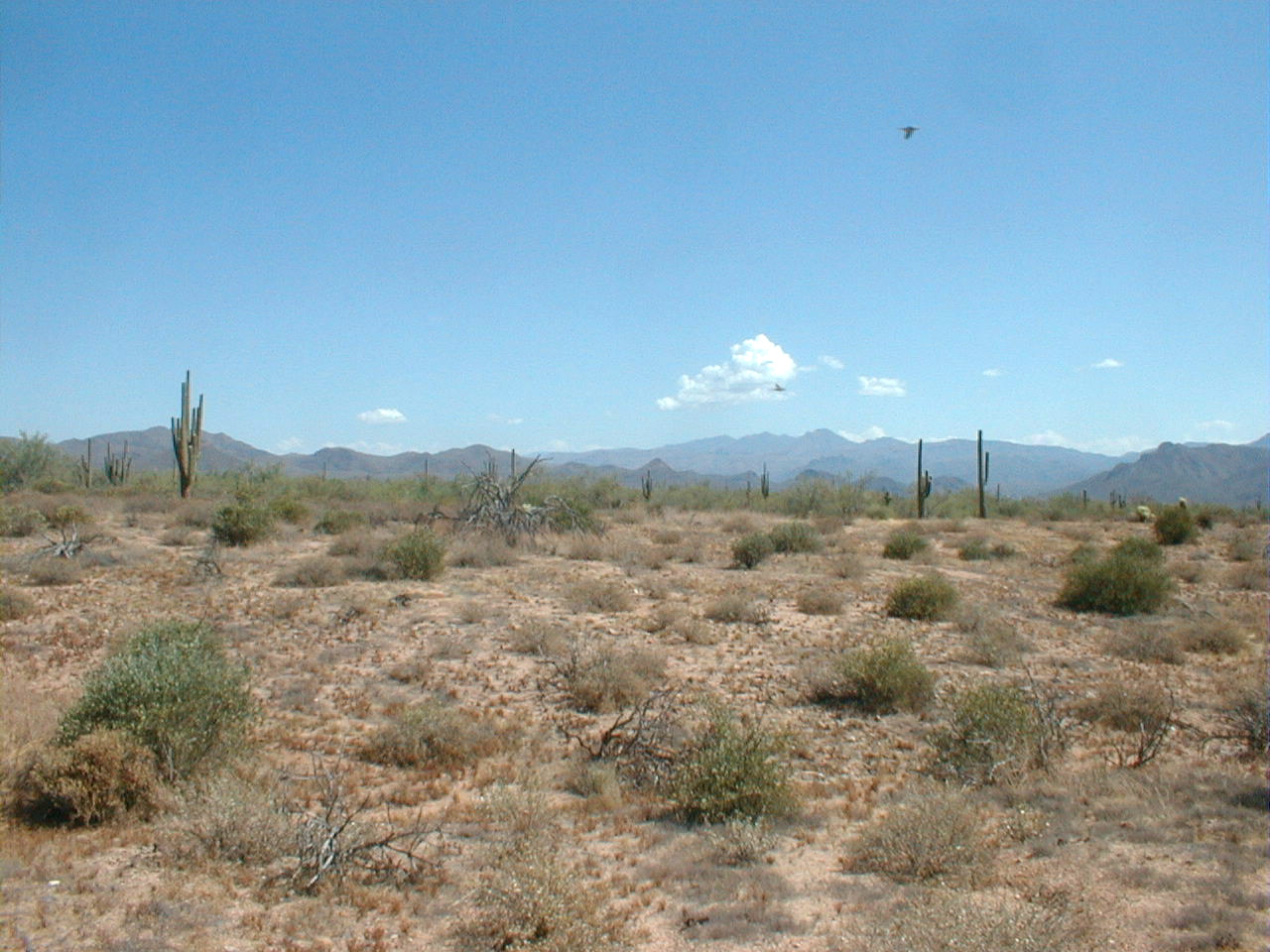
Carefree fire scar near the topographic study area.
View to the south.
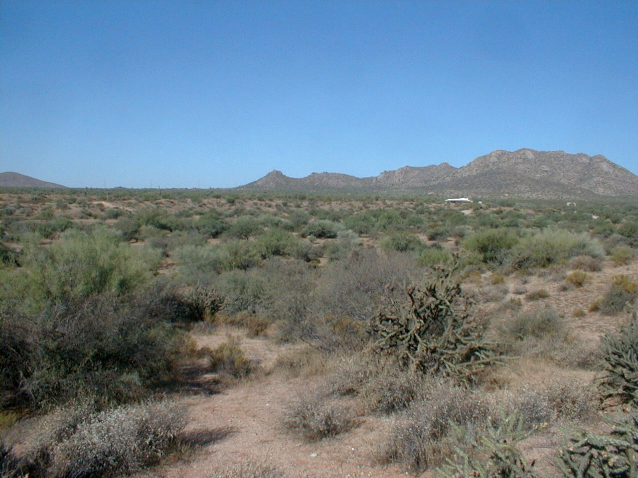
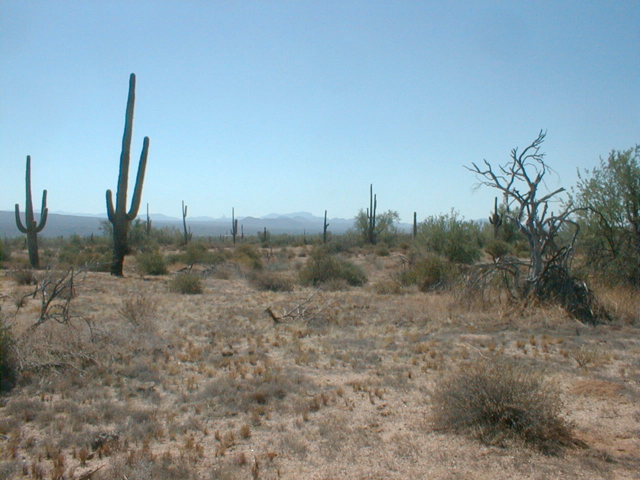
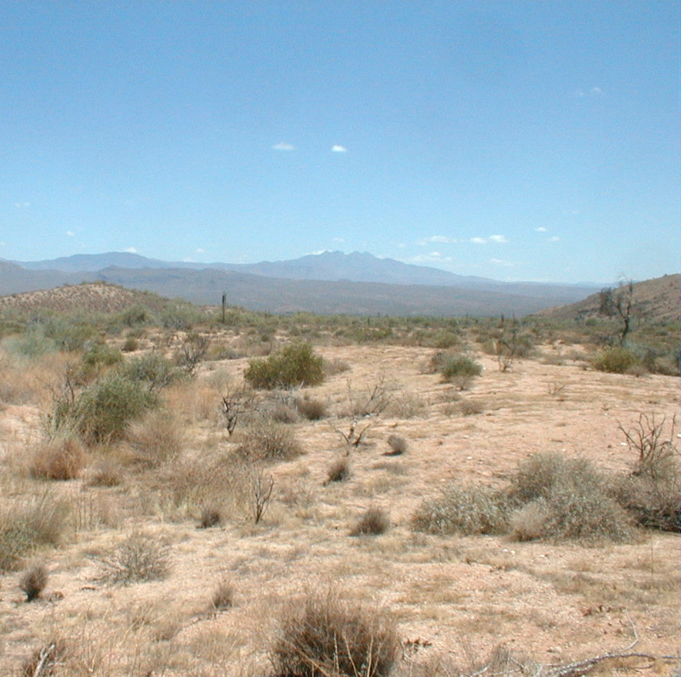
Pinnacle fire scar.
Pinnacle fire scar.
Pinnacle fire scar.
Pinnacle fire scar.
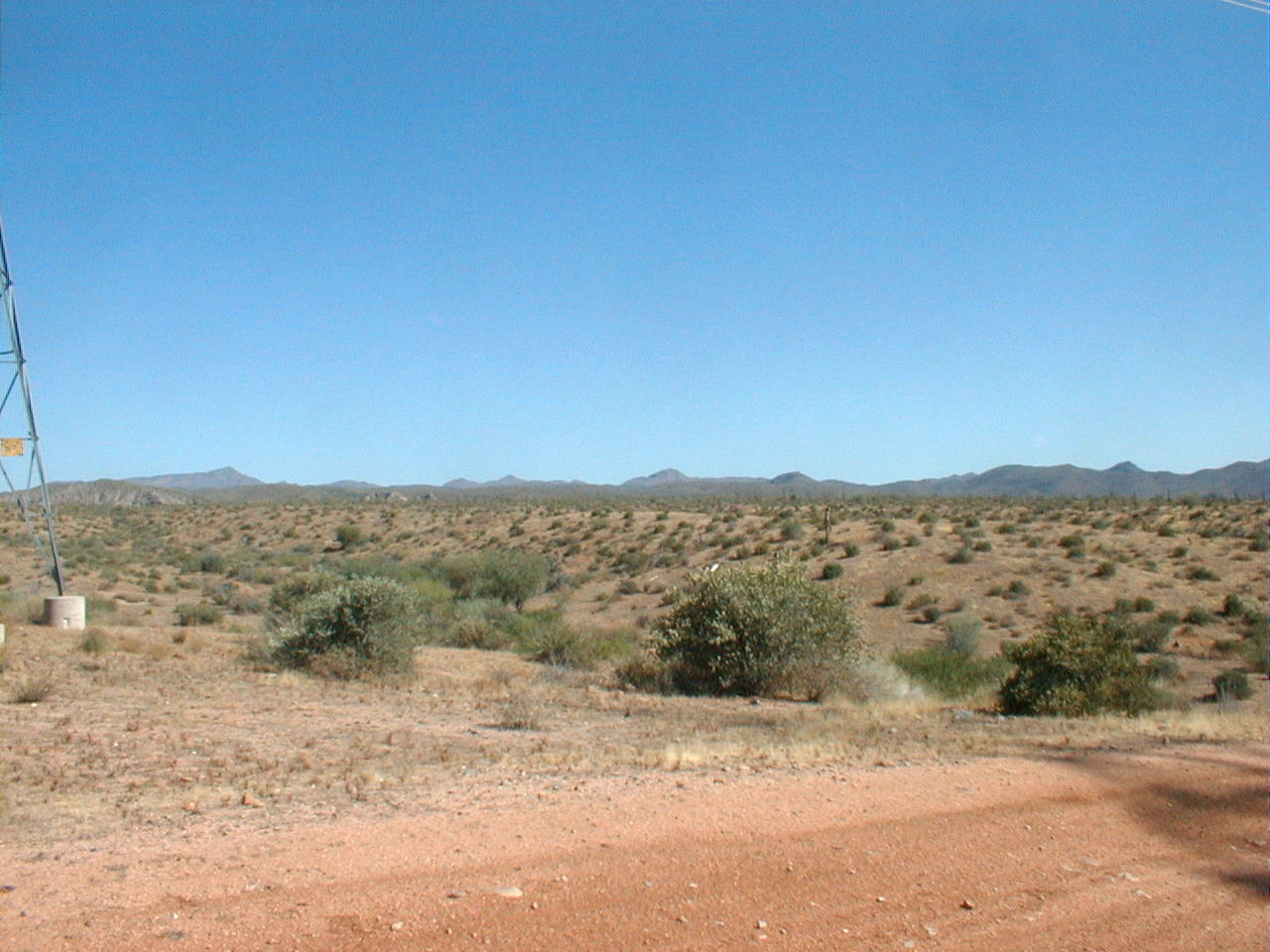
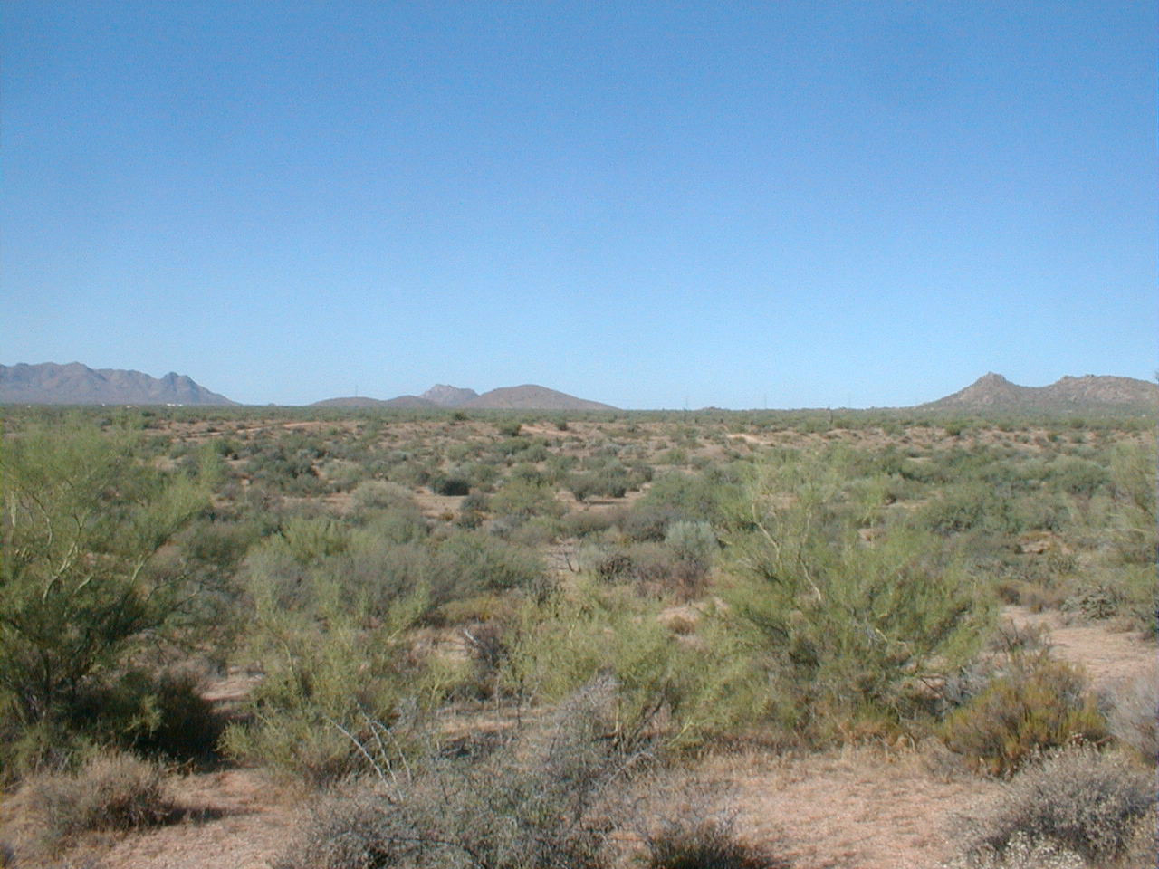
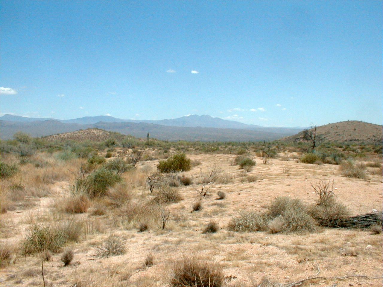
Camp fire scar.
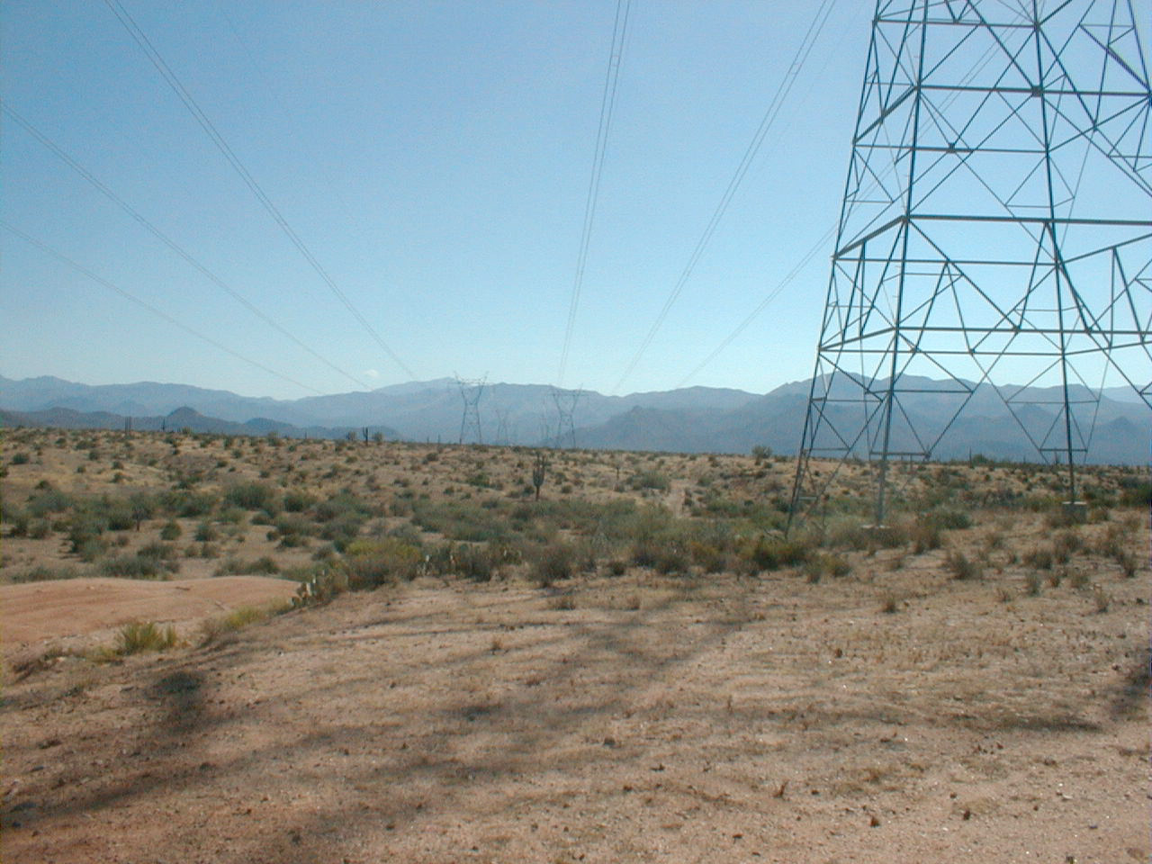
Camp fire scar. Note electrical lines which
apparently started the fire.

Camp fire scar.
Camp fire scar.
Camp fire scar.
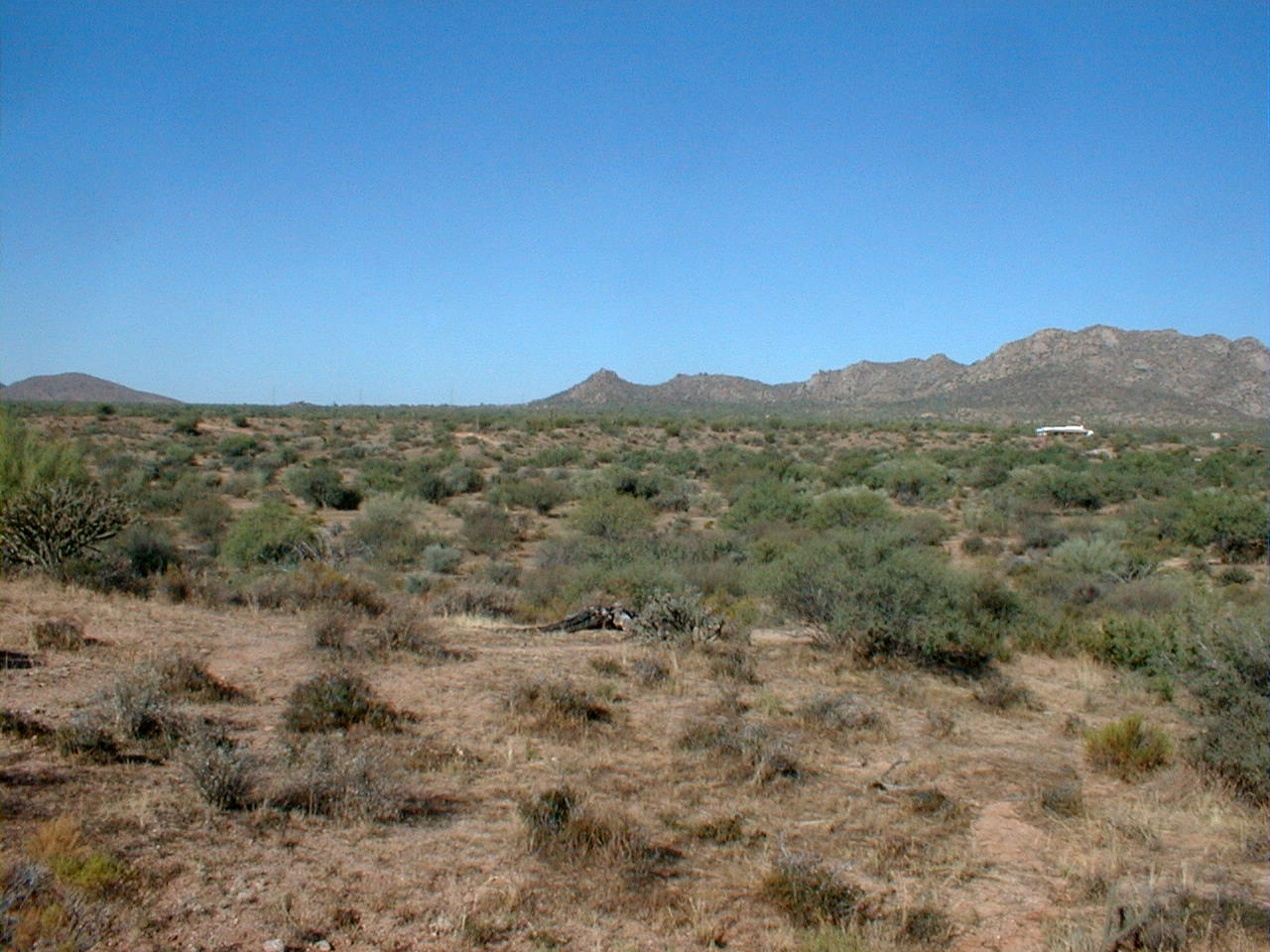
Dynamite burn edge.
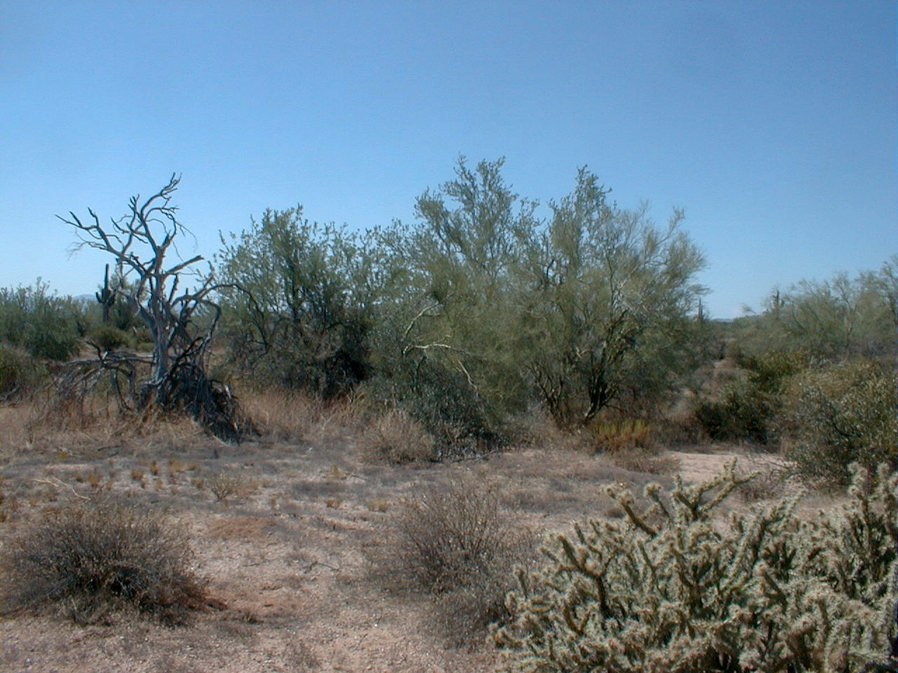
Dynamite burn edge.
Dynamite burn edge.

Dynamite burn edge.
Dynamite burn edge.
Dynamite burn edge.
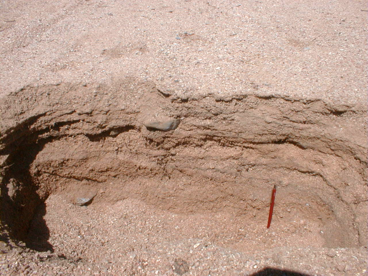
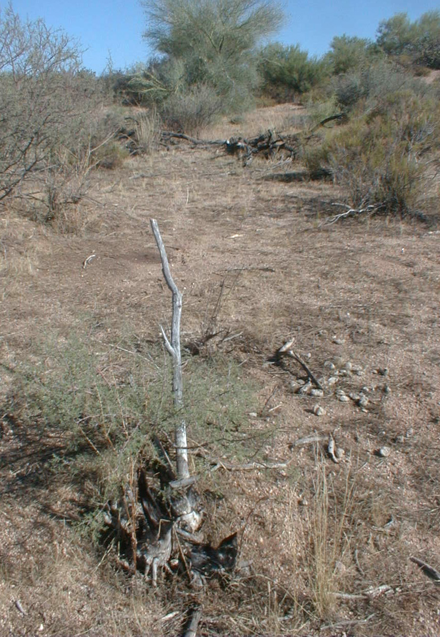
Excavation in channel draining unburnt landscape
adjacent to Dynamite burn edge.
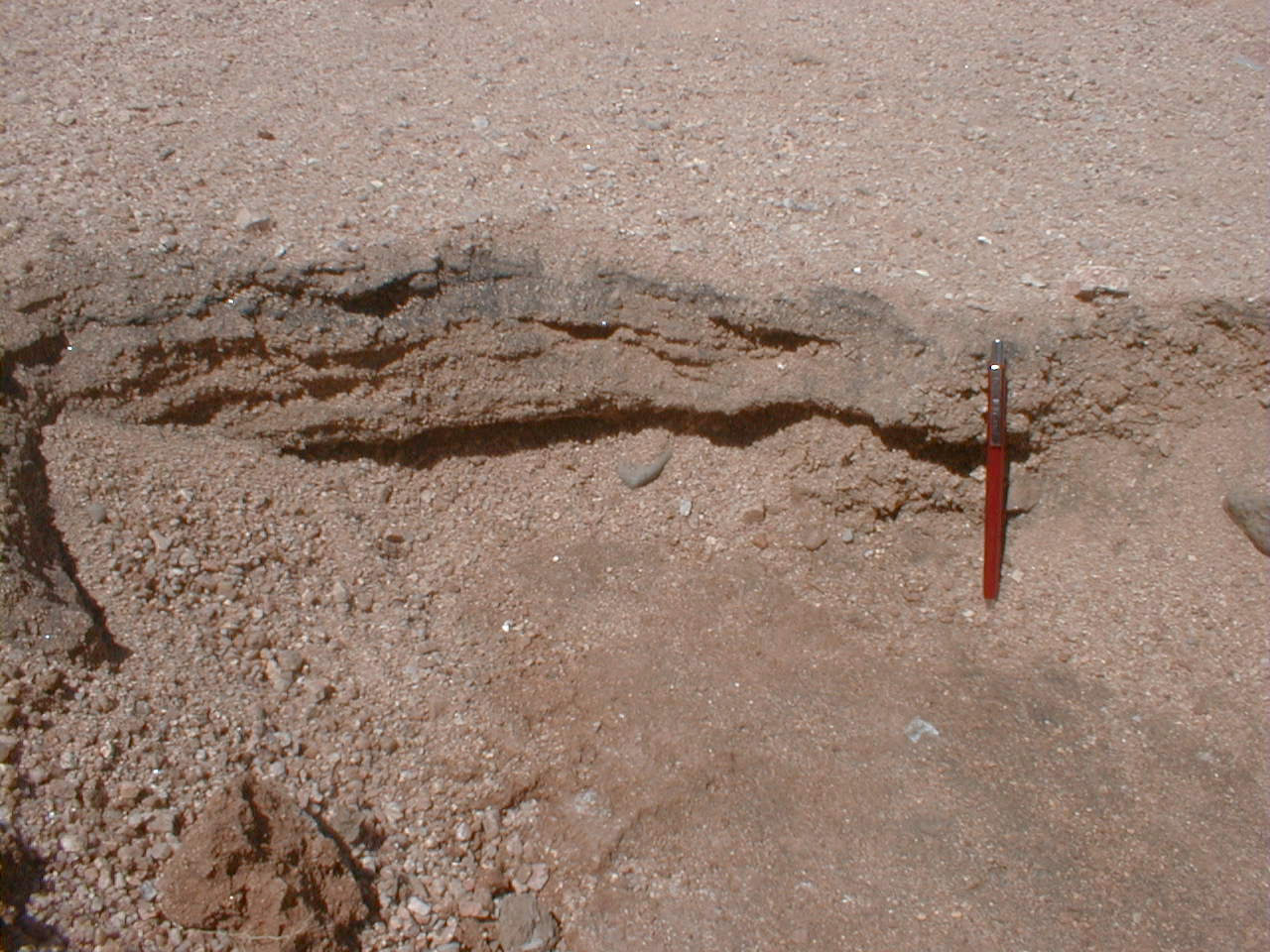
Excavation in channel draining burnt landscape
adjacent to Dynamite burn edge. Note shallow
depth to hardpan.
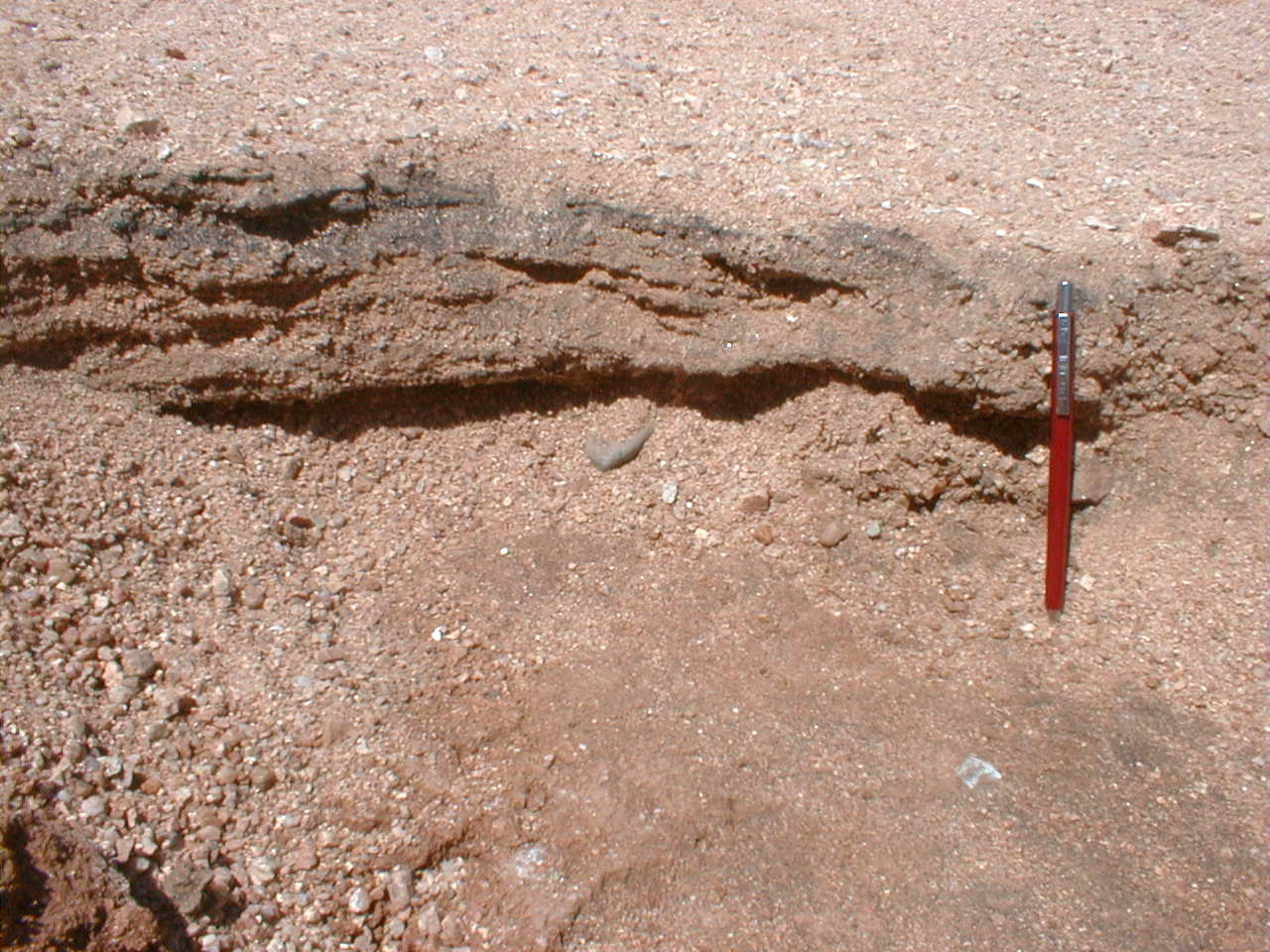
Excavation in channel draining burnt landscape
adjacent to Dynamite burn edge. Note shallow
depth to hardpan.
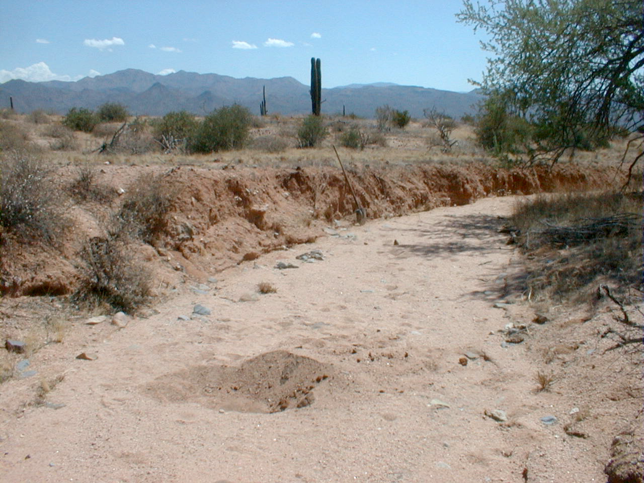
Channel edge recently cut in burnt portion of
Dynamite fire scar.
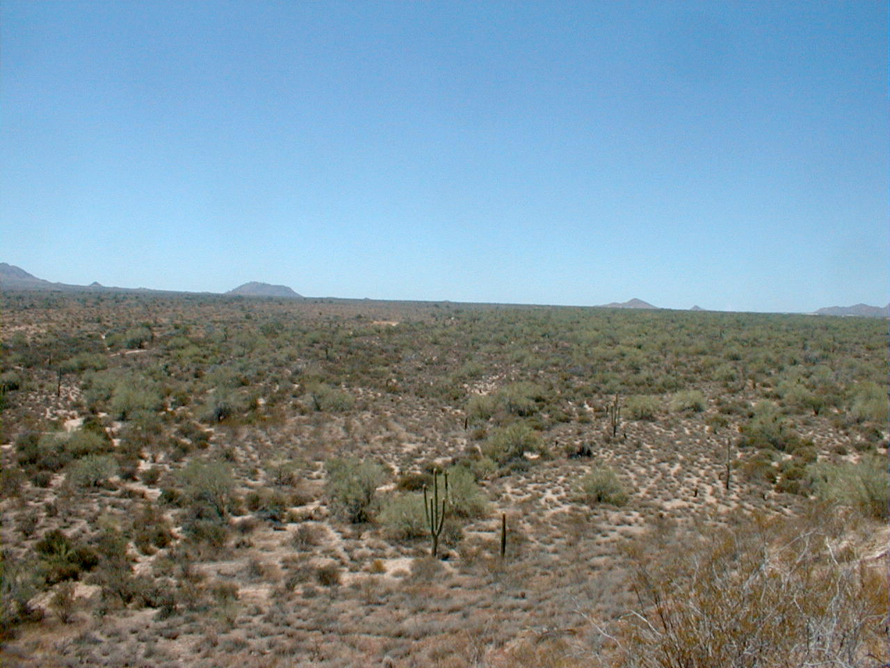
Rio fire scar panorama from hill in northeast
portion of McDowell Mtn. Park.

Rio fire scar panorama from hill in northeast
portion of McDowell Mtn. Park.
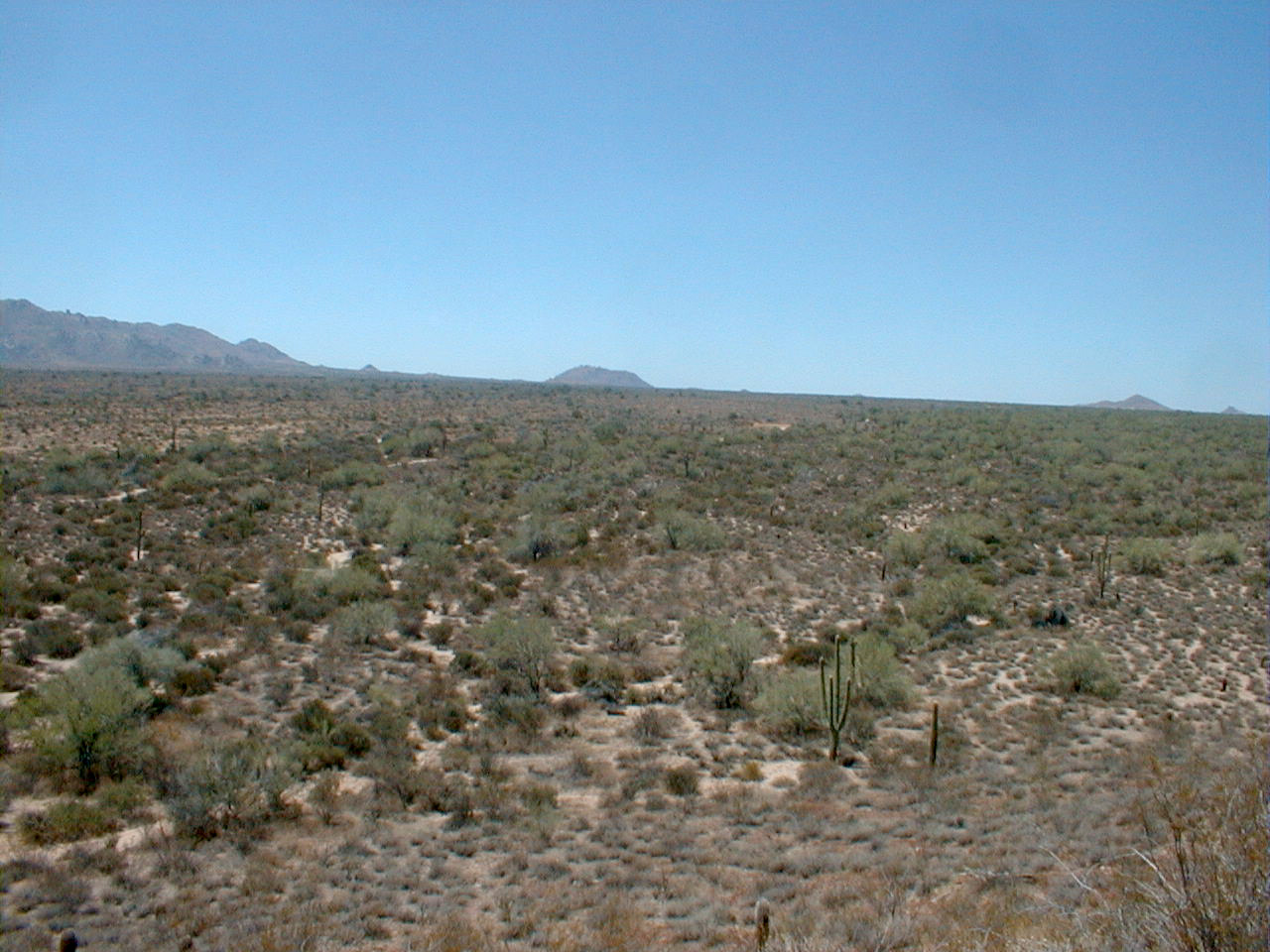
Rio fire scar panorama from hill in northeast
portion of McDowell Mtn. Park.
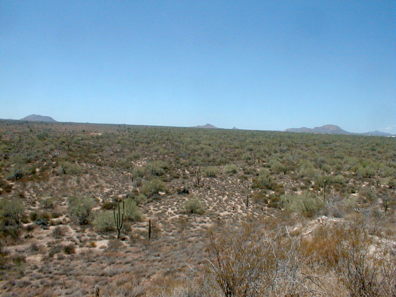
Rio fire scar panorama from hill in northeast
portion of McDowell Mtn. Park.
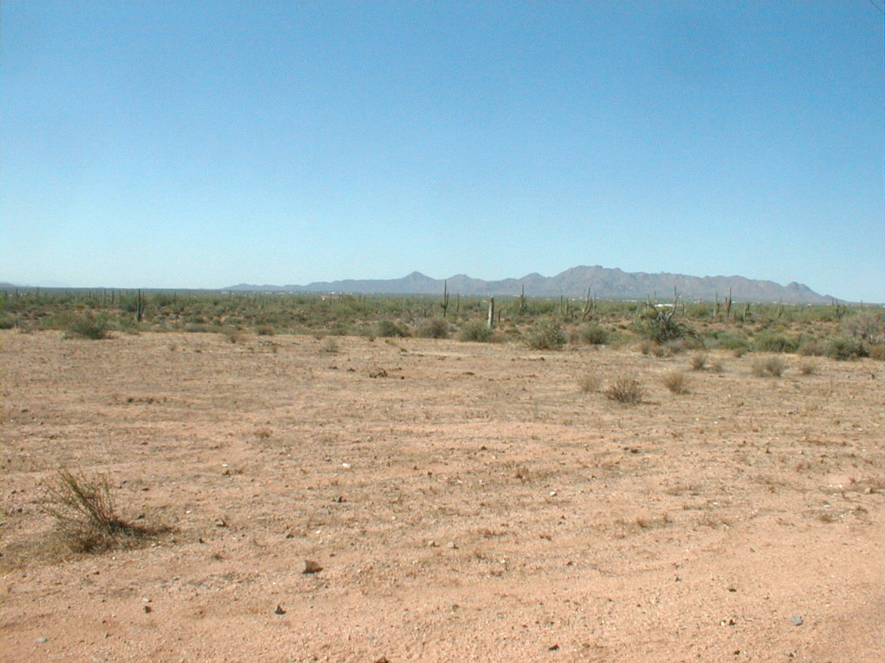
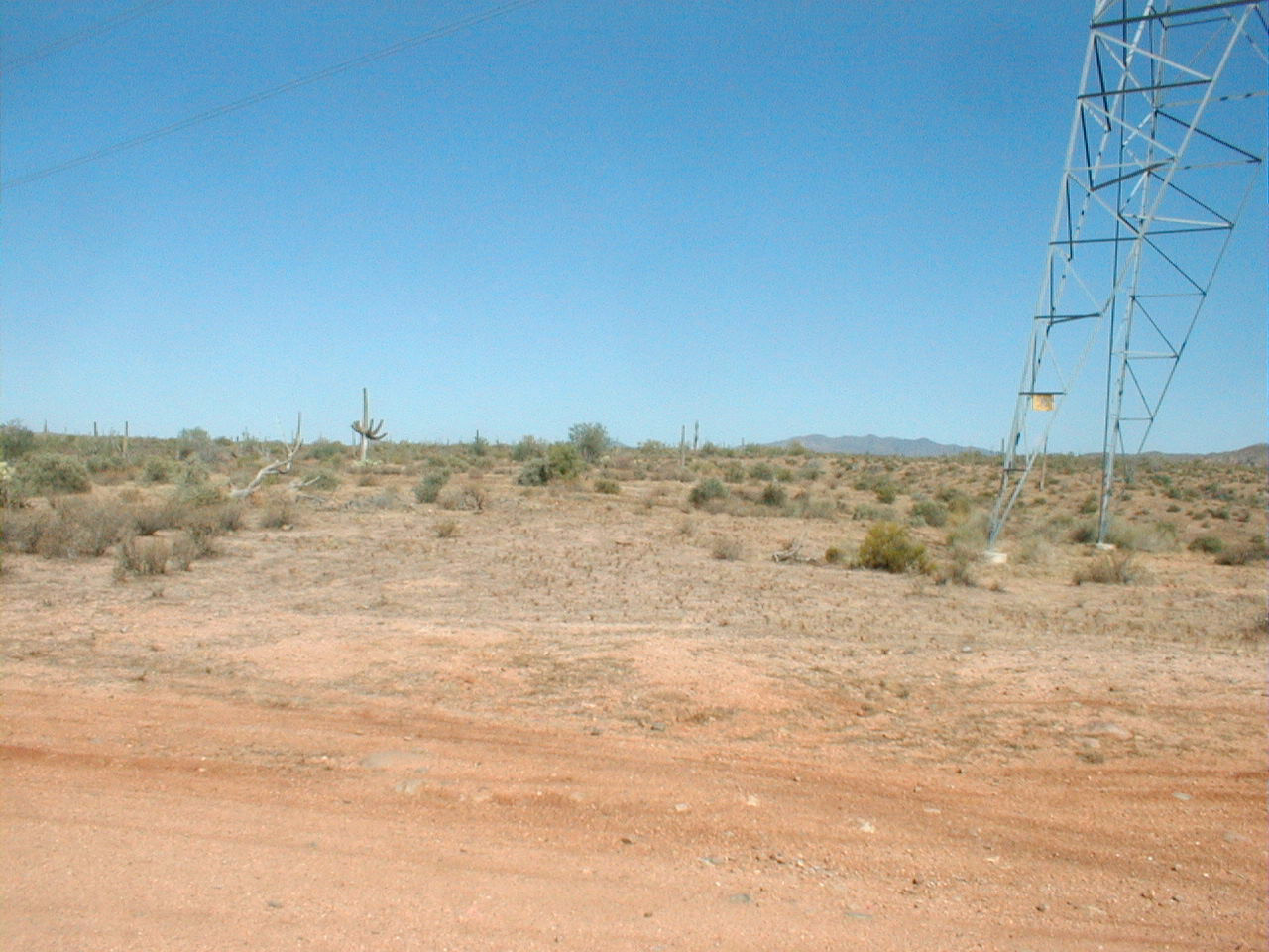
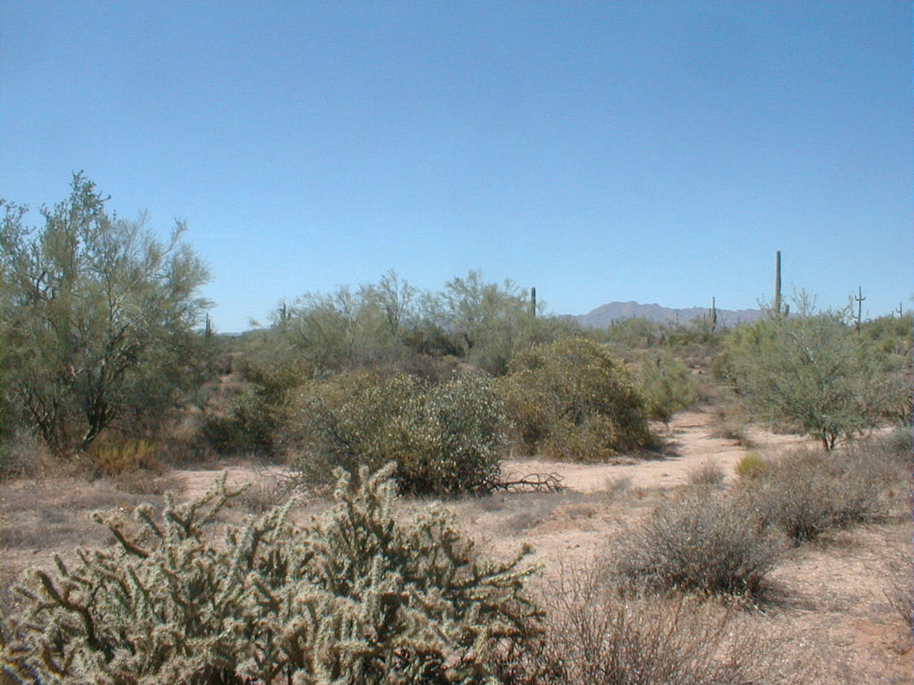
Rio Fire scar near trap locations.

Rio Fire scar near trap locations.
Rio Fire scar near trap locations.
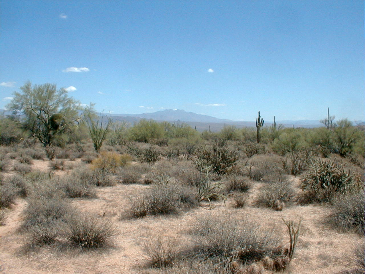
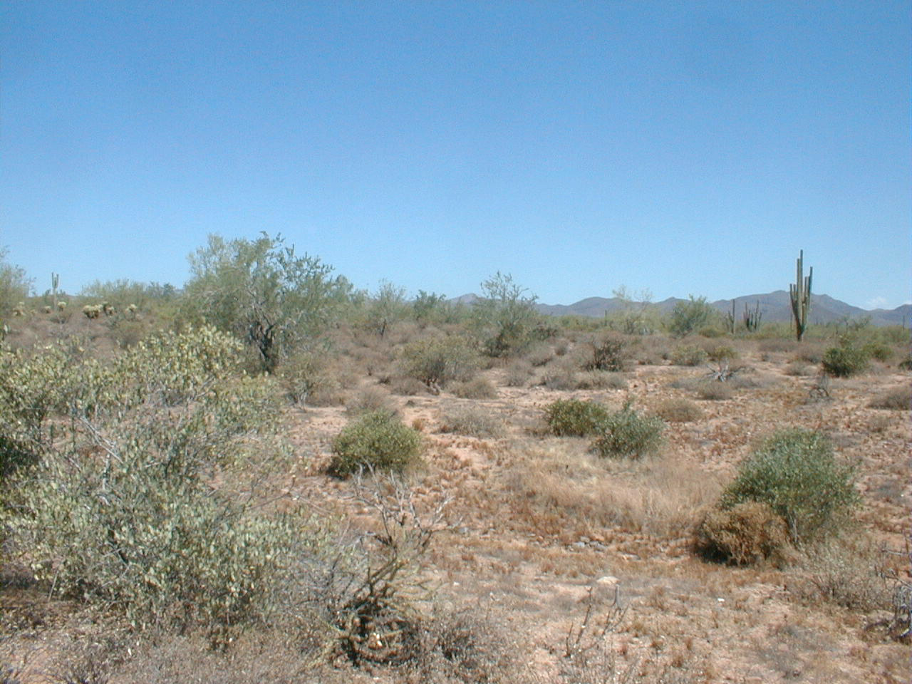
Unburnt landscape near Rio Fire scar near
trap locations.