
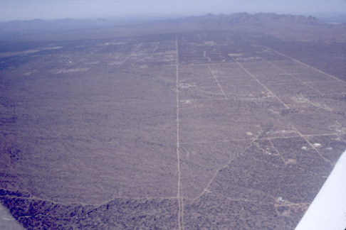
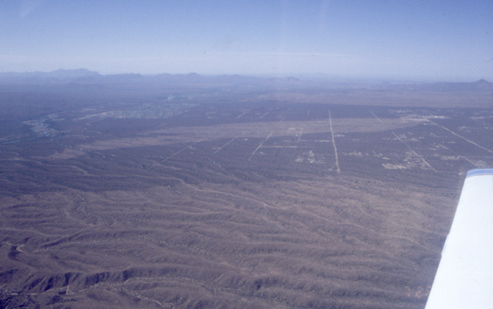
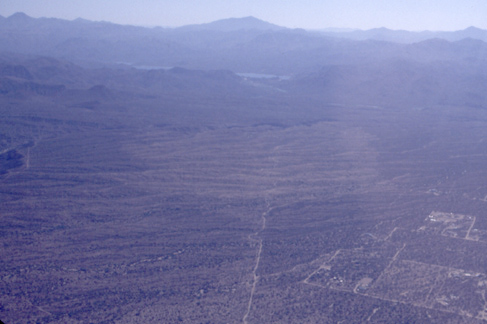
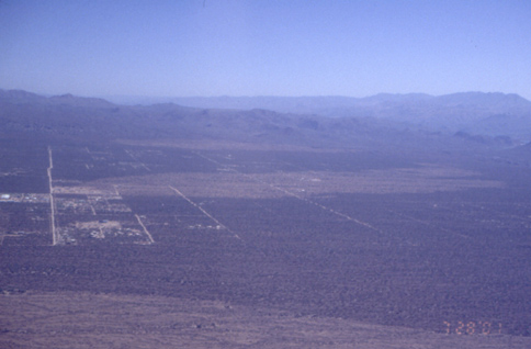
Dynamite looking southwest
TIF
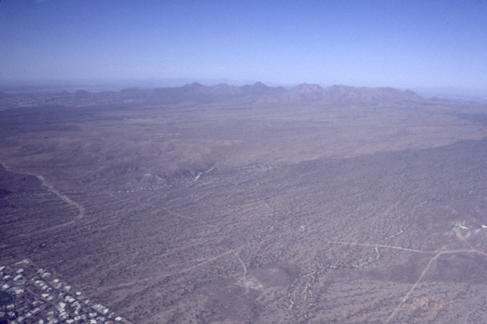
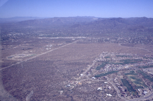
Pinnacle looking south
TIF

Carefree looking south. Note unburnt area in middle
TIF
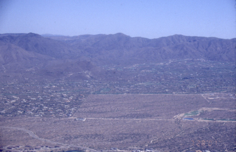
Carefree looking north. Note unburnt area in middle
TIF
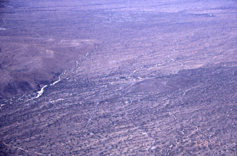
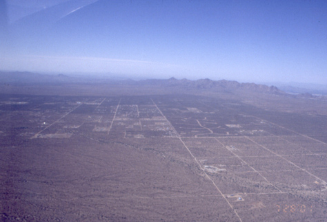
Rio fire scar in the northeast McDowell Mtn Park
TIF
Rio fire scar in the northeast McDowell Mtn Park
TIF
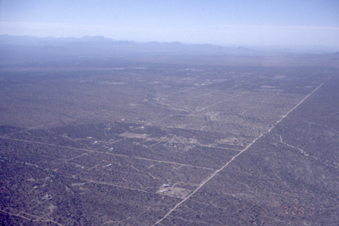
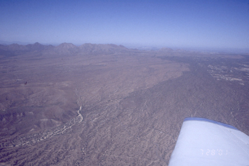
View south over Camp, Dynamite and Rio
TIF
Pinnacle looking southeast
TIF
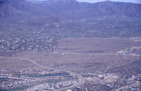
Carefree looking southeast. Note unburnt area in middle
TIF
Carefree looking southeast. Note unburnt area in middle
TIF
Rio fire scar in the northeast McDowell Mtn Park (view west)
TIF
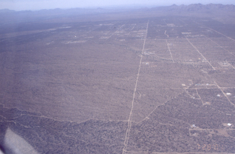
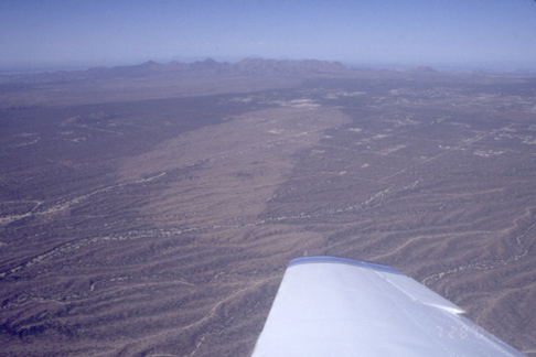
Dynamite and Rio looking south
TIF
Rio fire scar in the northeast McDowell Mtn Park (view west)
TIF
Dynamite and Rio looking south
TIF
View northeast at Camp fire scar
TIF
Carefree looking north.
TIF
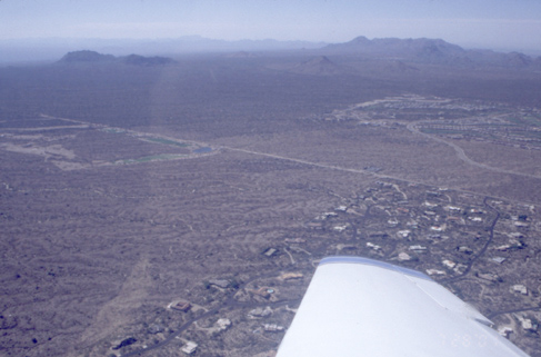
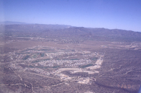
View south over Pinnacle and Rio fire scars
TIF
Carefree looking north.
TIF
View north over Rio, Dynamite, and Camp
TIF
Pinnacle looking south.
TIF
Carefree looking south.
TIF
Carefree looking north.
TIF
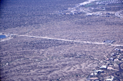
Rio looking west.
TIF
Dynamite looking west.
TIF

Rio, Dynamite, and Camp looking north.
TIF