Download Data from the
Mediterranean Landuse Dynamics Interactive Map Server
View the Mediterranean Landuse ArcIMS website
The ArcIMS currently displays only regional data, however ASTER satellite imagery, topography and other relevant project data will be added.
ASU School of Human Evolution and Social Change
ASU Active Tectonics Research Group
ArcIMS Data Download
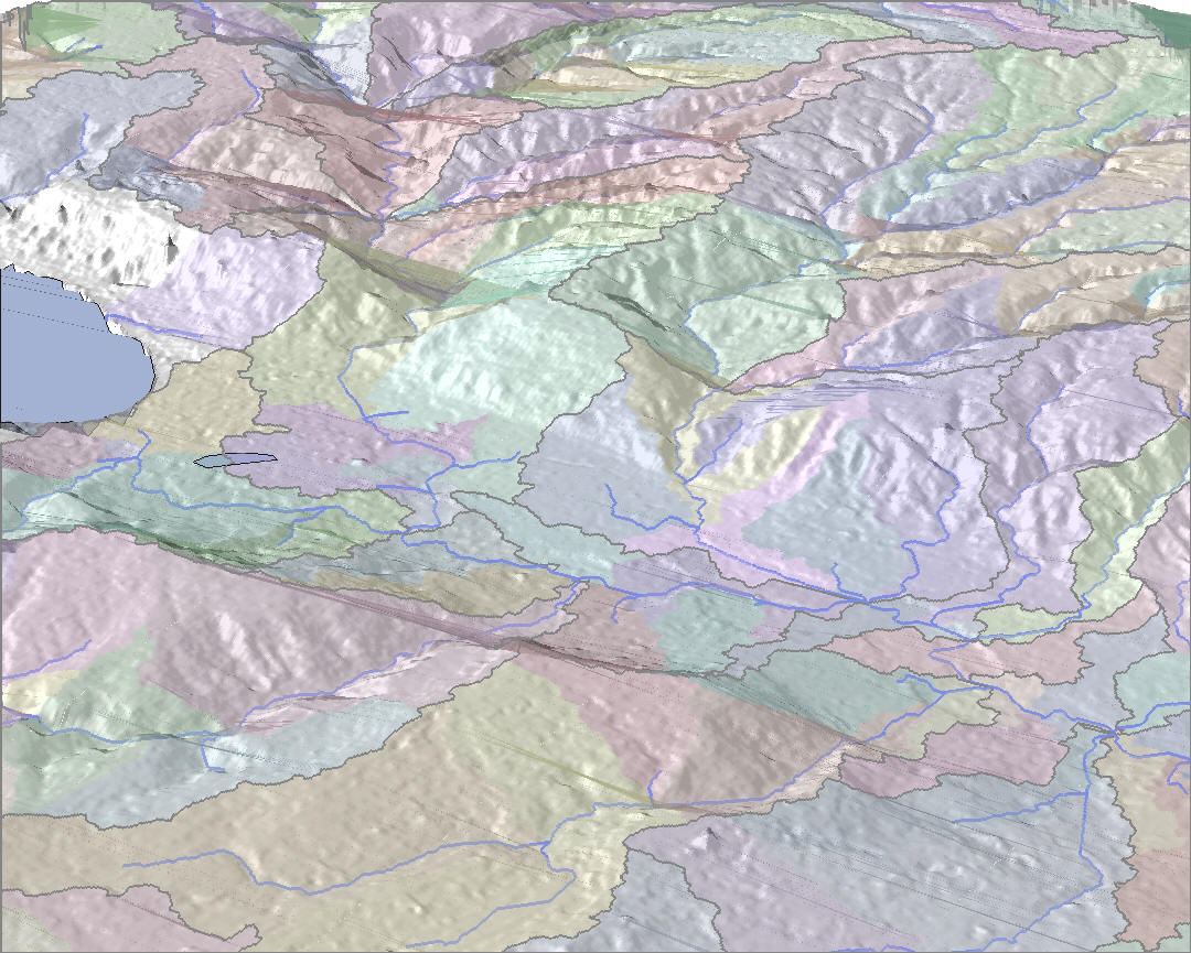 NE view into the Jordan River Valley, catchments were delineated and displayed as colored polygons |
ArcGIS Shapefiles Download all shapefiles for the Jordan Valley region, Spain or the Mediterranean region *Shapefiles for Spain and Jordan are projected to UTM 30N & 36N respectively. Mediterranean region data are in WGS-1984 ArcHydro was used to create watershed maps for these regions using DEM's. For more information on this ArcMap tool, see below Related Documentation/Links:
|
|||||||||||||||||||||||||||||||||||||||||
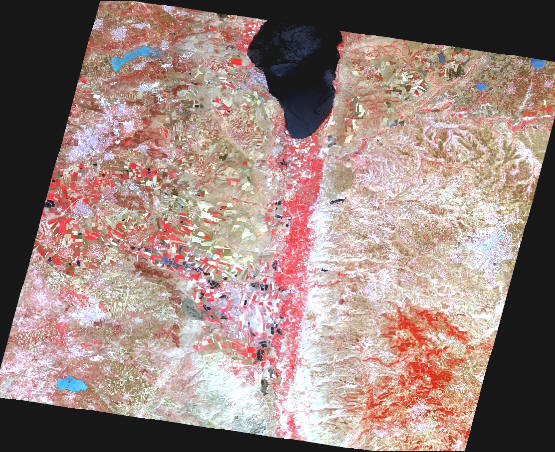 ASTER VIS/Near-IR Satellite image (3-2-1) of the Jordan River Valley |
Advanced Spaceborne Thermal Emission and Reflection Radiometer (ASTER) The data for this project is stored in the shared drive in the Sagunto server in the respective folder (Jordan or Spain under 'Imagery'). Level 1a and 1b data exist here, as well as 1b data that has been georeferenced using ENVI 4.0 in both geotiff and ESRI grid formats. Related Documentation/Links:
|
|||||||||||||||||||||||||||||||||||||||||
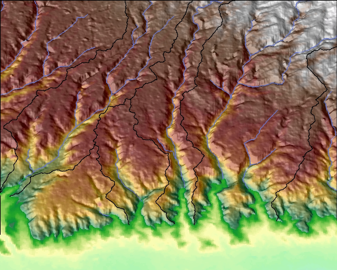 East view from the Jordan River Valley - streams show in blue and catchments are delineated with black lines |
Topography We used Hydro 1km, SRTM (90m) and ASTER DEM (30m) topography models on this website Downloads:
Related Documentation/Links:
| |||||||||||||||||||||||||||||||||||||||||
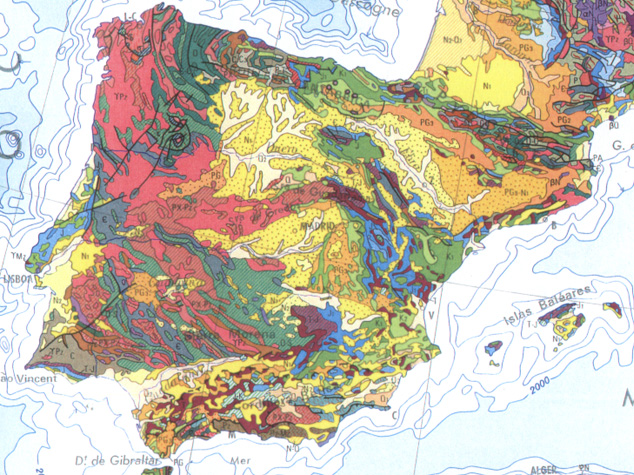 Geologic Map of the Iberian Peninsula |
Geologic/Geomorphic Maps Coming soon...
Related Documentation/Links: |
|||||||||||||||||||||||||||||||||||||||||
|
Spain and Jordan Maps Maps created in ArcGIS for the respective regions (all are .pdf's)
|