
|
Aster Index Map for Arizona and Surrounding States
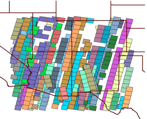
This index map was created from Aster scene metadata. The four corner points, dates and times of the scenes, and filenames were clipped from the metadata using a visual basic program.
If you have ASTER scene metadata in the same style you can use this program to create a spreadsheet of all the ASTER scenes in one folder or create a "generate" format text file that can be used to make polygons in ArcView or ArcInfo
Download the shapefiles for the ASTER index map
Download the executable ASTER spreadsheet program
Back to Main Aster Page