
|
Geology Layer Explanation
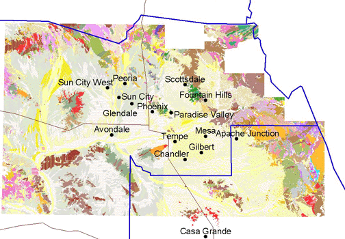
The Phoenix area geology was created with four 30 by 60 degree digital quadrangles from the Arizona Geological Survey(AZGS): Phoenix North, Phoenix South, Mesa, and Theodore Roosevelt. They are refrerenced by the AZGS as DI-4, DI-5,DI-11,DI-12. The State geology is from AZGS DI-8, digital geologic map. These are in ArcInfo export format and can be purchased here: http://www.azgs.state.az.us/order_info.htm
These digital geologic maps were imported into ArcGIS
and merged to form one continuous geologic map.

|
|
The Legend: The legend for the Phoenix area geology was made in arcview by taking tables of RGB values provided by the AZGS for the units, desaturating the colors so they will eventually print well, converting the RGB to HSV values, joining those tables to the attribute data of the geology layers, then merging the 4 legends together. -The Arizona geology legend was made in the same way
The Next Step: A close inspection of the geologic units will show that the units from Phoenix S and N are symbolized differently from units in Mesa and Rooselvelt. The next step in completing the geologic layer is to correlate these units and make the legend the same for both sides.