Satellite image
Download approx. 14 Mb TIF file
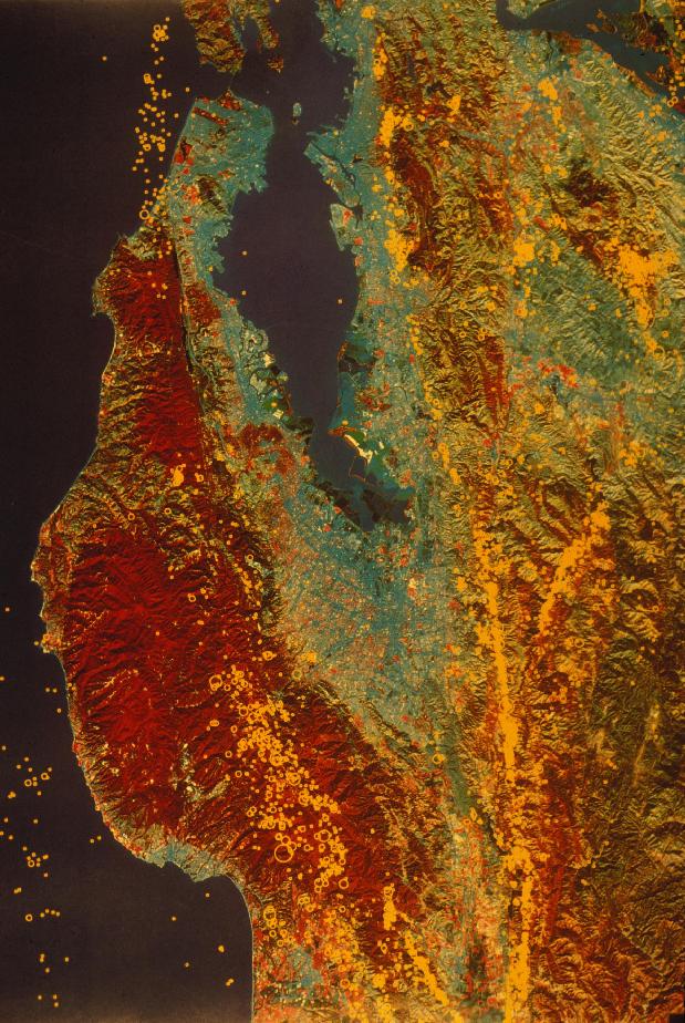
San Andreas Fault toward NW, Peninsula
Download approx. 14 Mb TIF file
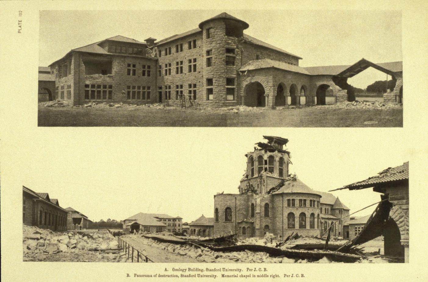
LSJU 1906 damage, Lawson Report
Download approx. 14 Mb TIF file
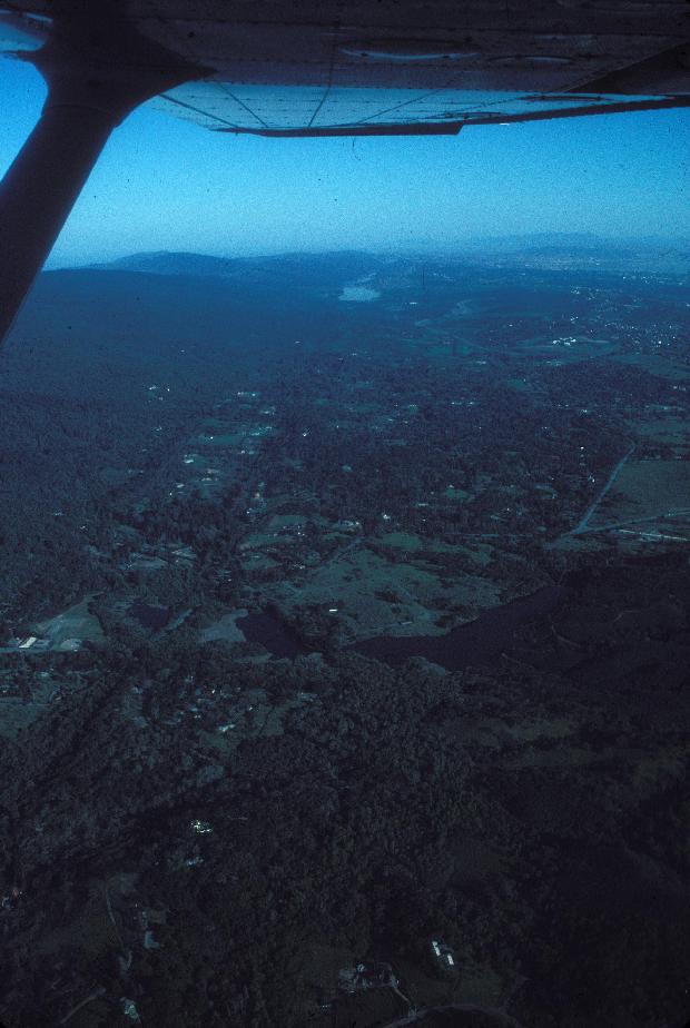
Satellite image
Download approx. 14 Mb TIF file
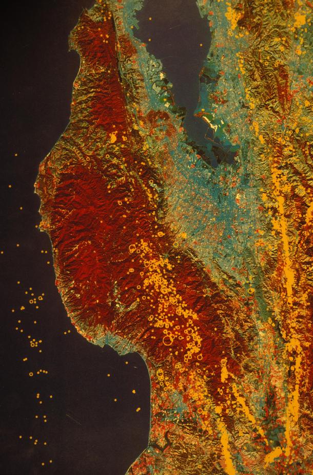
San Andreas Fault near Watsonville
Download approx. 14 Mb TIF file
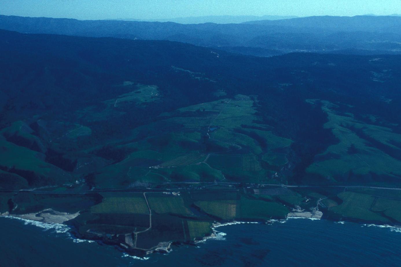
Santa Cruz coastline and uplifted terraces (Laguna Creek, Sand Hill Bluff, Majors Creek)
Download approx. 14 Mb TIF file
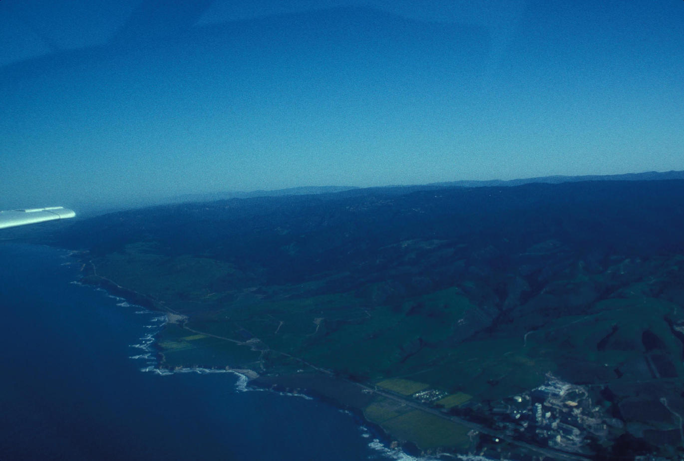
Santa Cruz coastline and uplifted terraces (El Jarro Point and Davenport)
Download approx. 14 Mb TIF file
Santa Cruz coastline and uplifted terraces (Liddell Creek)
Download approx. 14 Mb TIF file
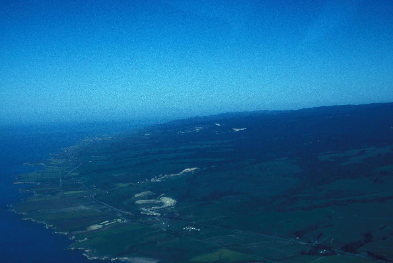
Santa Cruz coastline and uplifted terraces (Yellow Bank Creek)
Download approx. 14 Mb TIF file
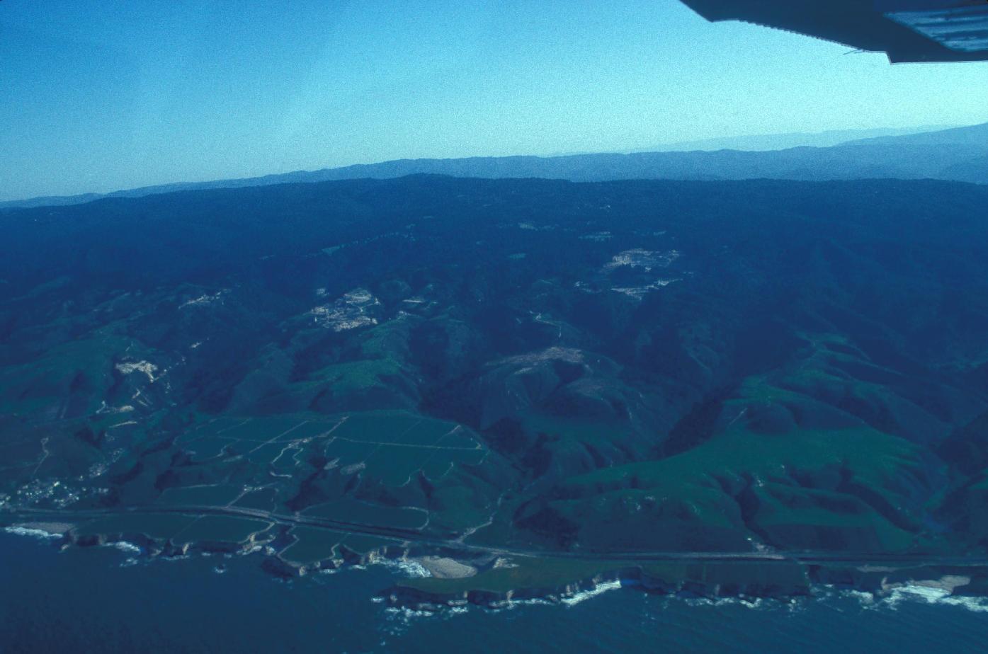
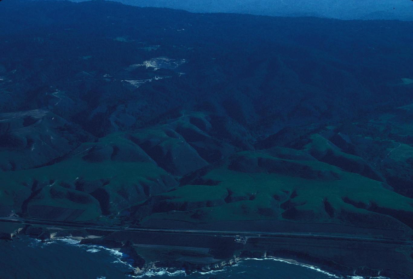
Santa Cruz coastline and uplifted terraces (quarry at dump and Wilder Ranch)
Download approx. 14 Mb TIF file
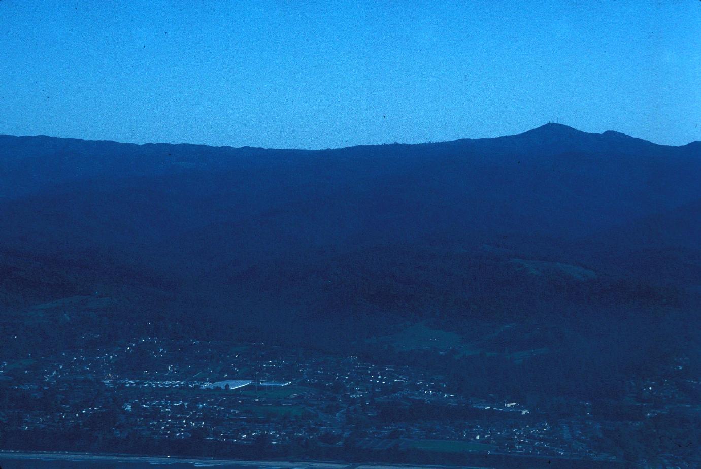
Santa Cruz and Loma Prieta from West
Download approx. 14 Mb TIF file
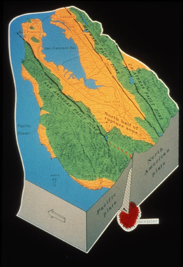
Loma Prieta EQ
Download approx. 14 Mb TIF file
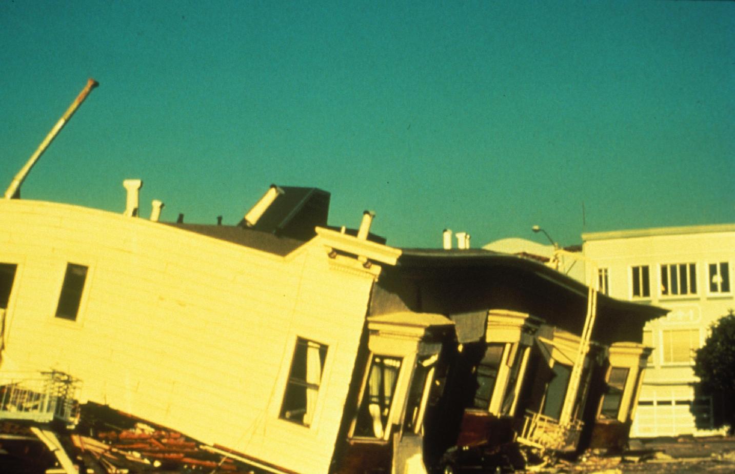
Marina District, Loma Prieta EQ
Download approx. 14 Mb TIF file
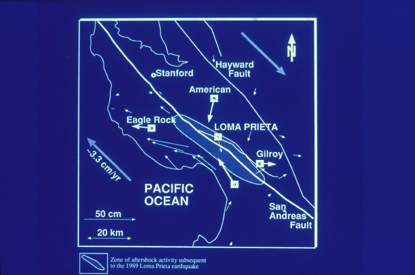
Loma Prieta EQ horizontal motion
Download approx. 14 Mb TIF file
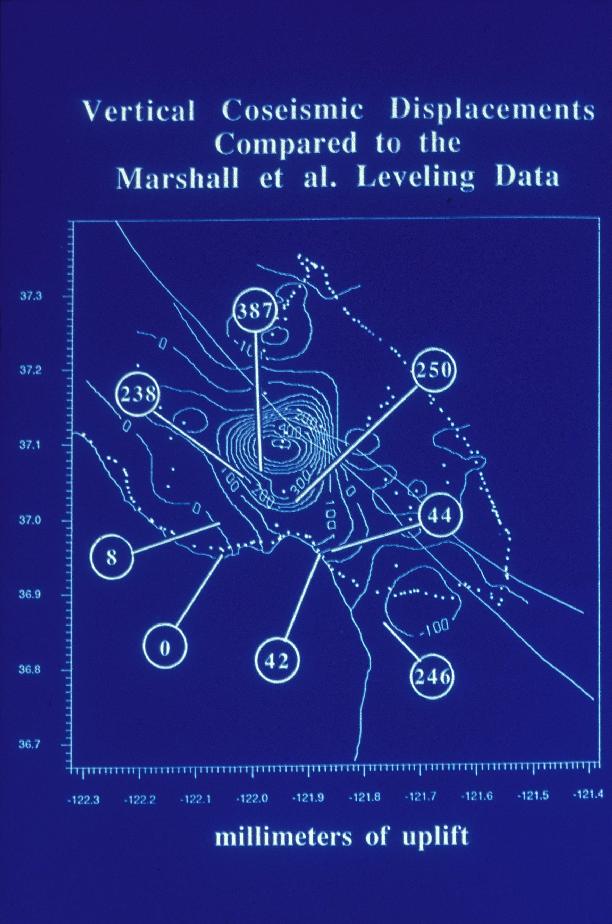
Loma Prieta EQ vertical motion
Download approx. 14 Mb TIF file
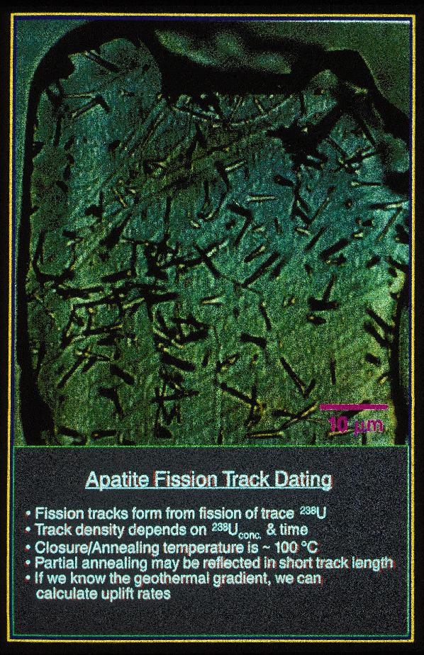
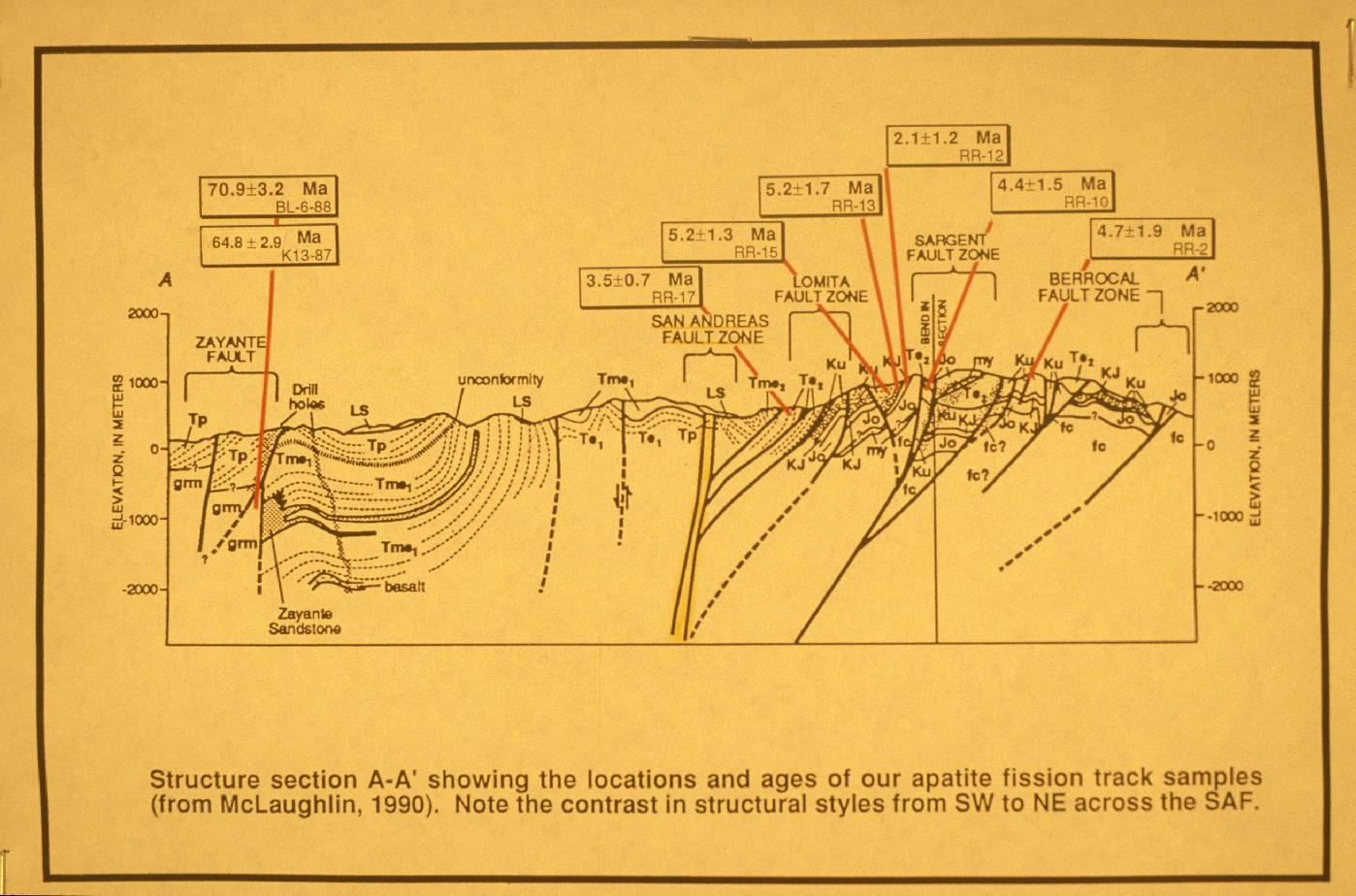
Apatite fission track dating
Download approx. 14 Mb TIF file
Burgmann, et al., 1994 cross section
Download approx. 14 Mb TIF file