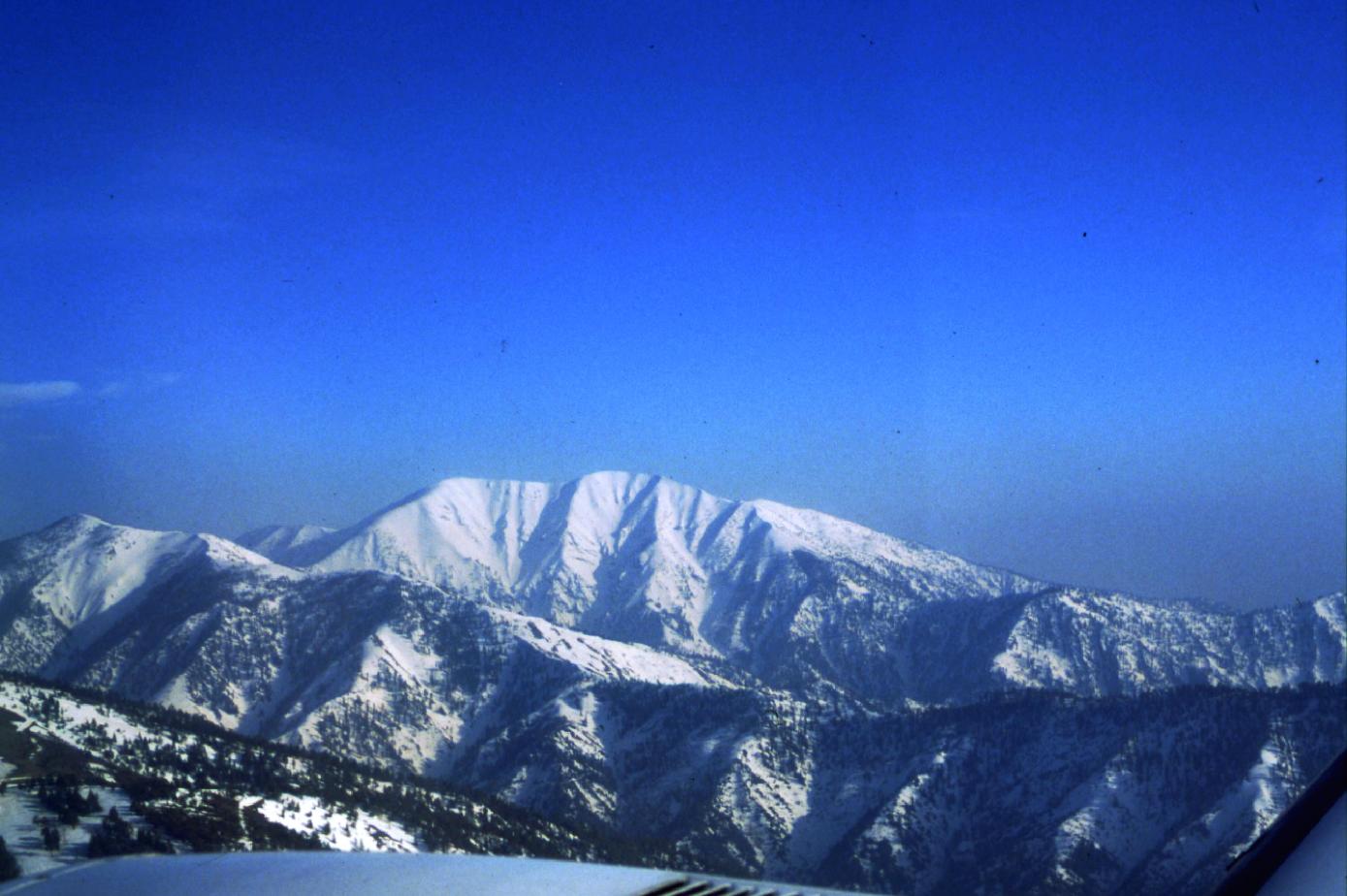
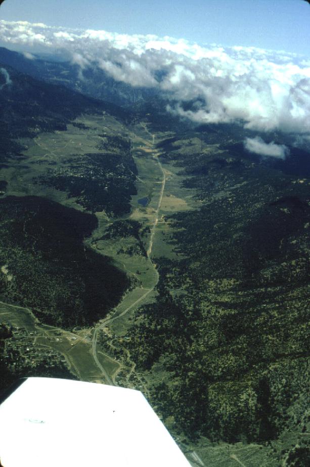
Mount San Jacinto from the East
Download approx. 14 Mb TIF file
Mount Baldy in San Gabriels, from the South
Download approx. 14 Mb TIF file
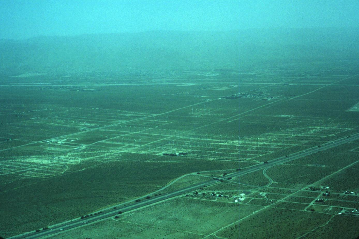
Wind Farm, Palm Springs
Download approx. 14 Mb TIF file
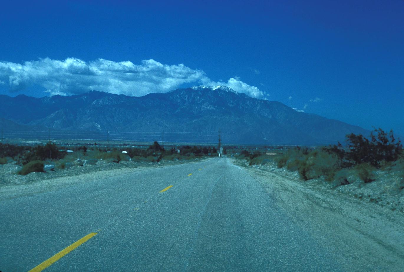
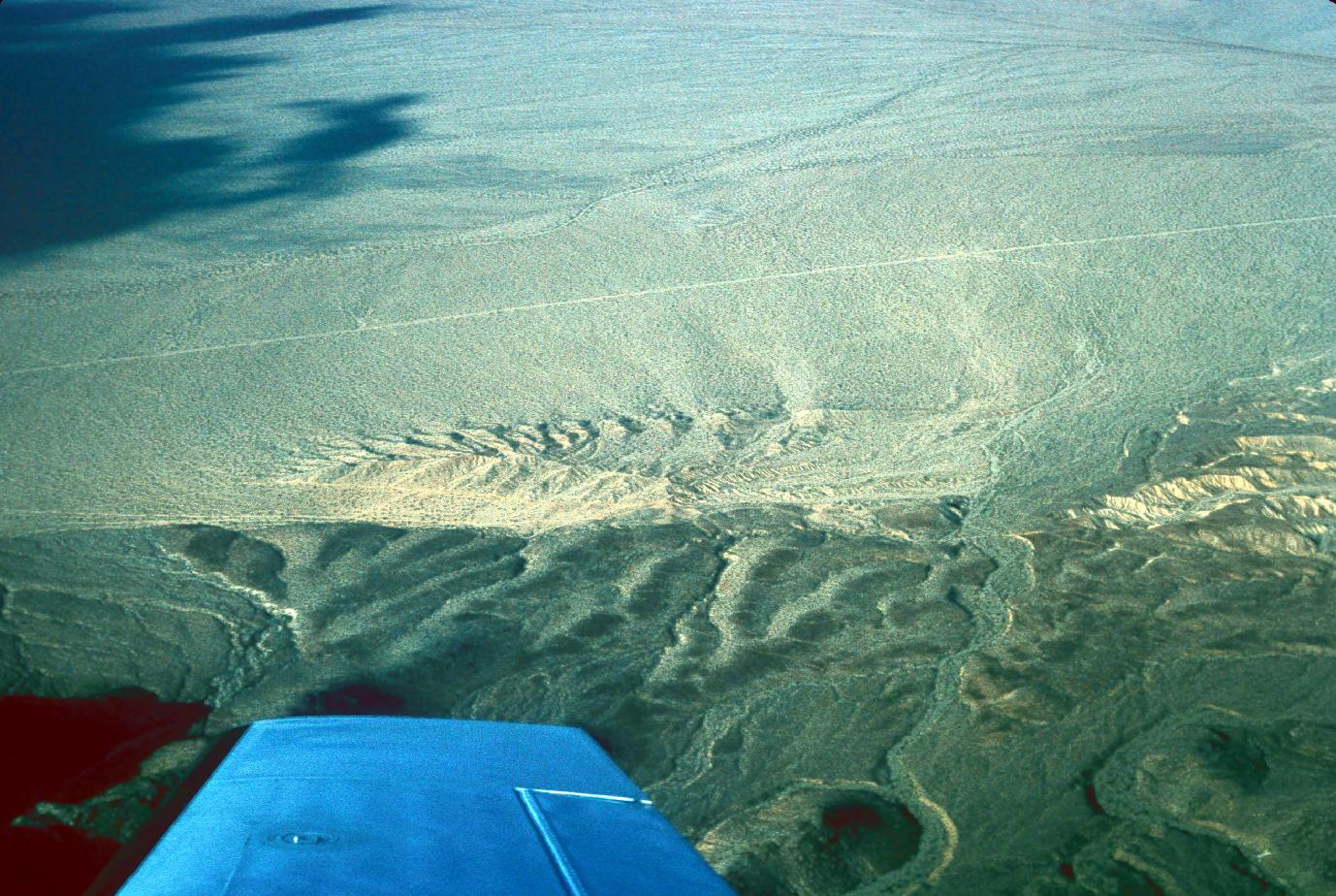
Barchan dunes near Palm Springs
Download approx. 14 Mb TIF file
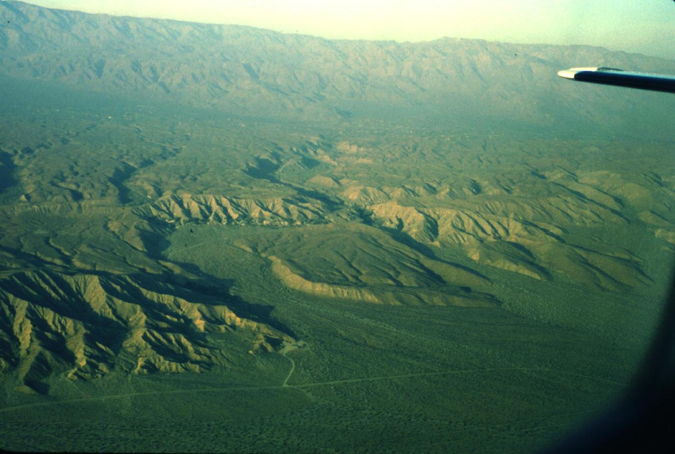
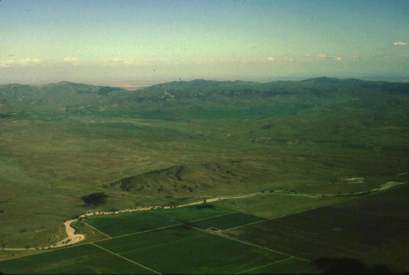
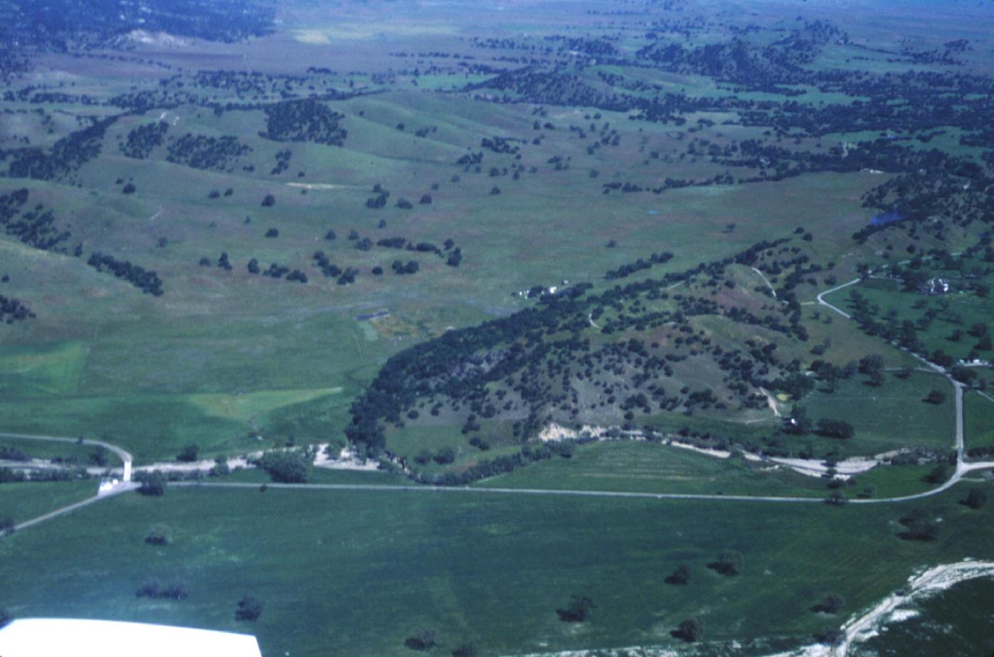
Pushawalla offset and San Andreas Fault
Download approx. 14 Mb TIF file
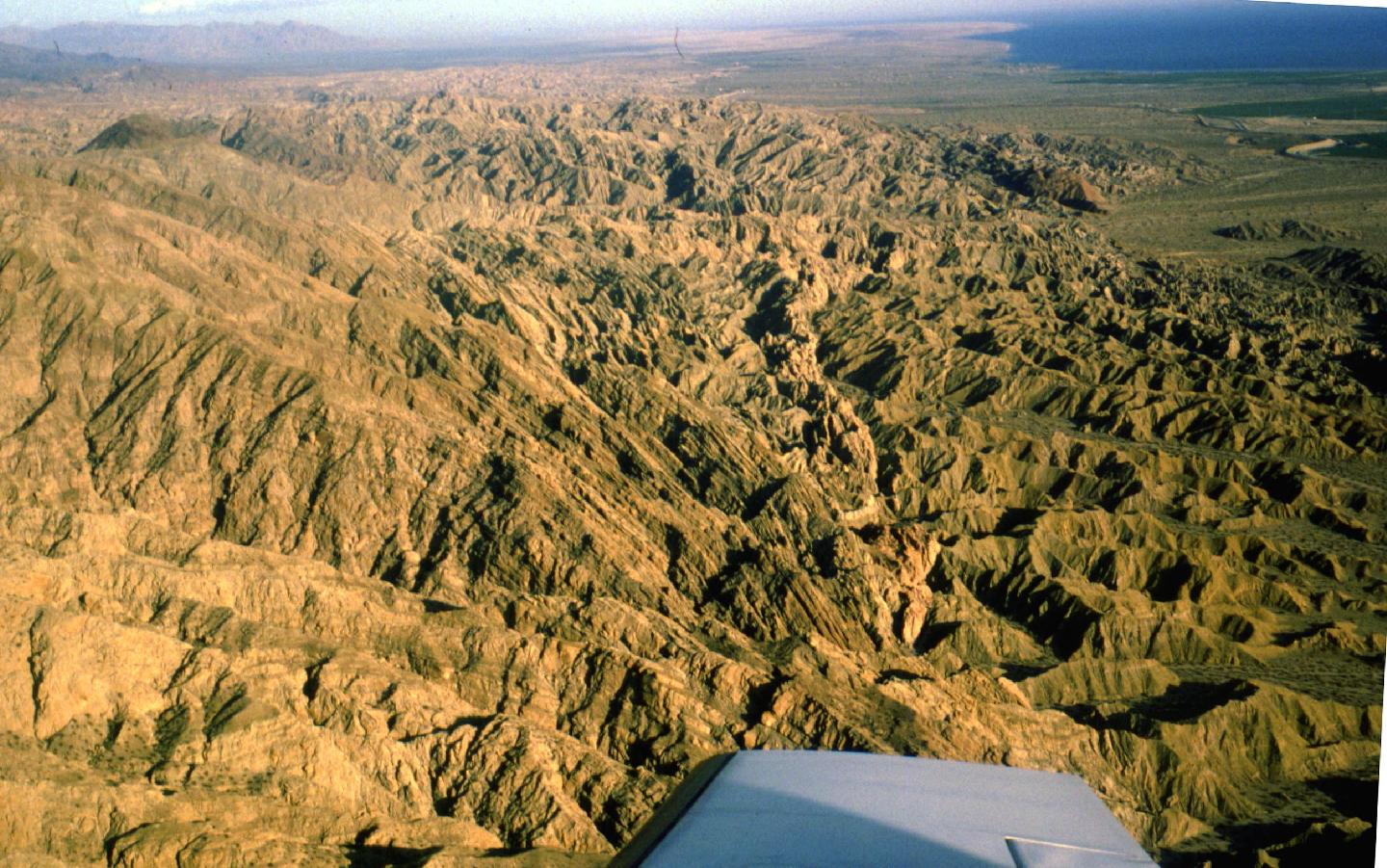
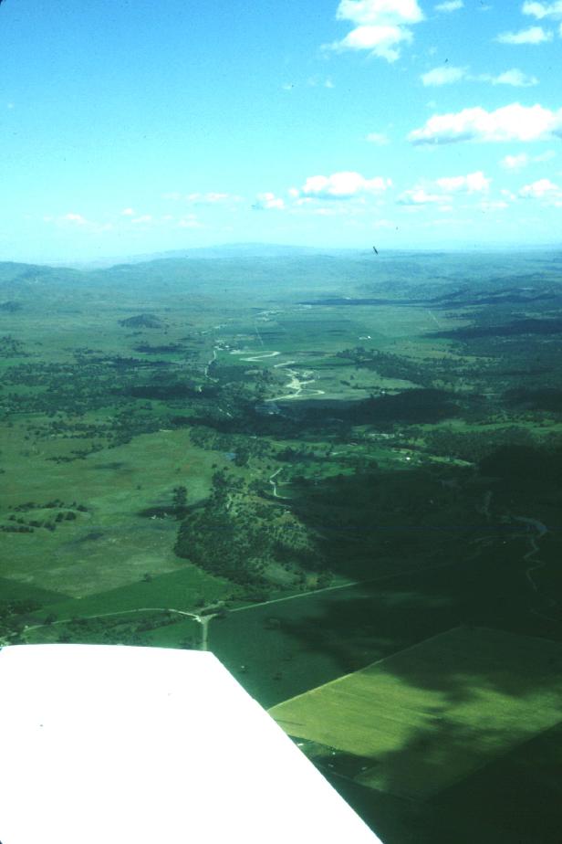
Mecca Hills
Download approx. 14 Mb TIF file
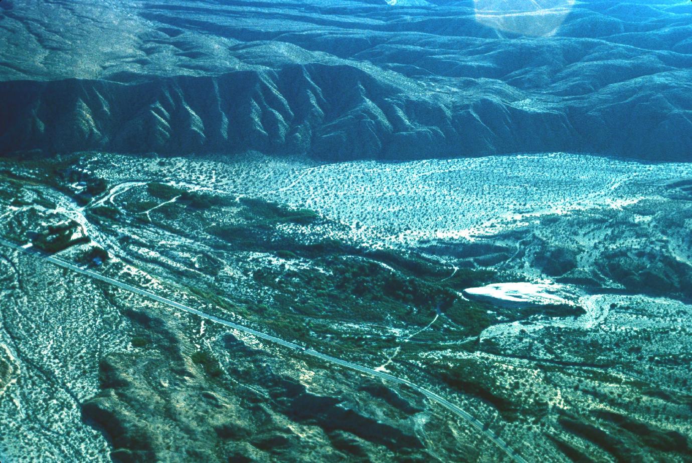
1000 Palms Oasis, Indio Hills
Download approx. 14 Mb TIF file
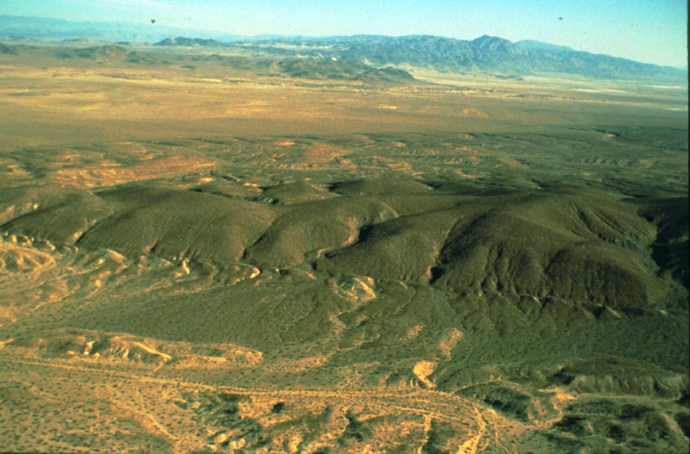
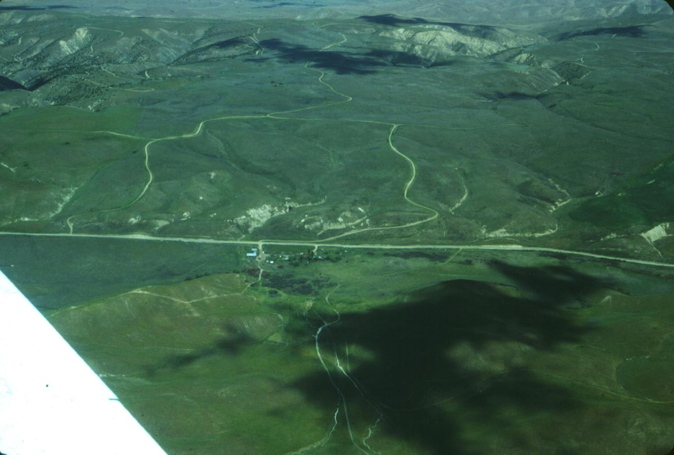
AA Hill/Stanford Hill; View to the South along Emerson Fault near Galway Lake Road
Download approx. 14 Mb TIF file
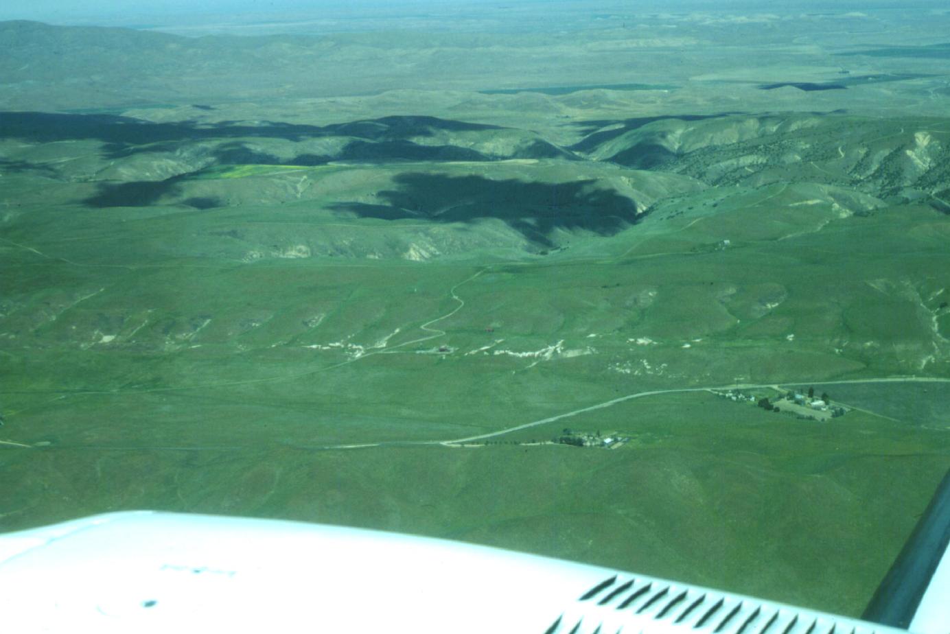
AA Hill/Stanford Hill; View to the East along Emerson Fault near Galway Lake Road
Download approx. 14 Mb TIF file
Emerson Fault
Download approx. 14 Mb TIF file
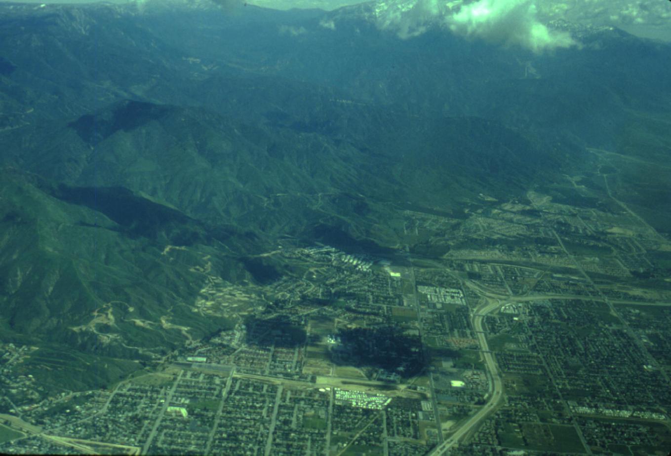
San Andreas Fault in San Bernadino
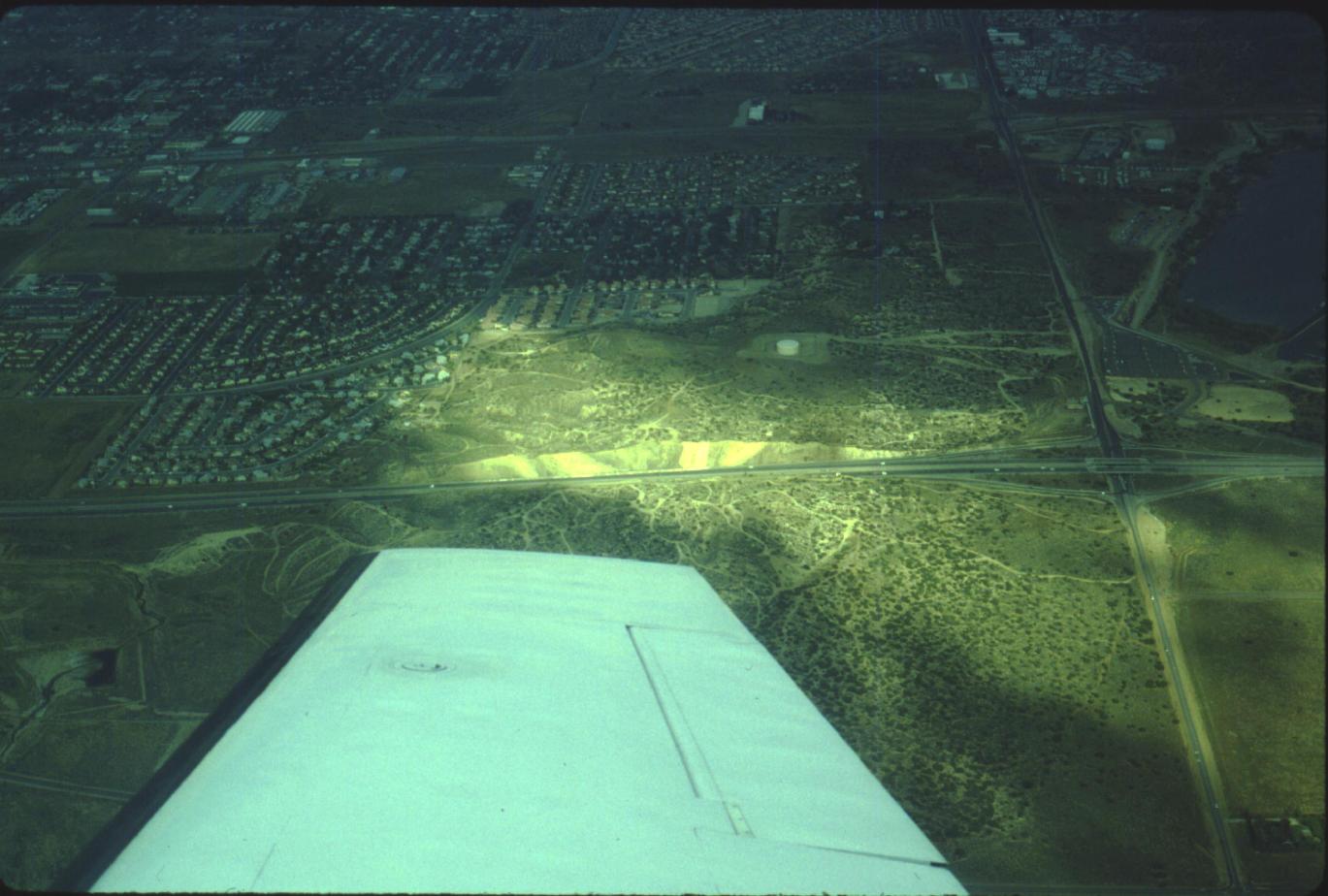
Antelope Freeway Road cut
Download approx. 14 Mb TIF file
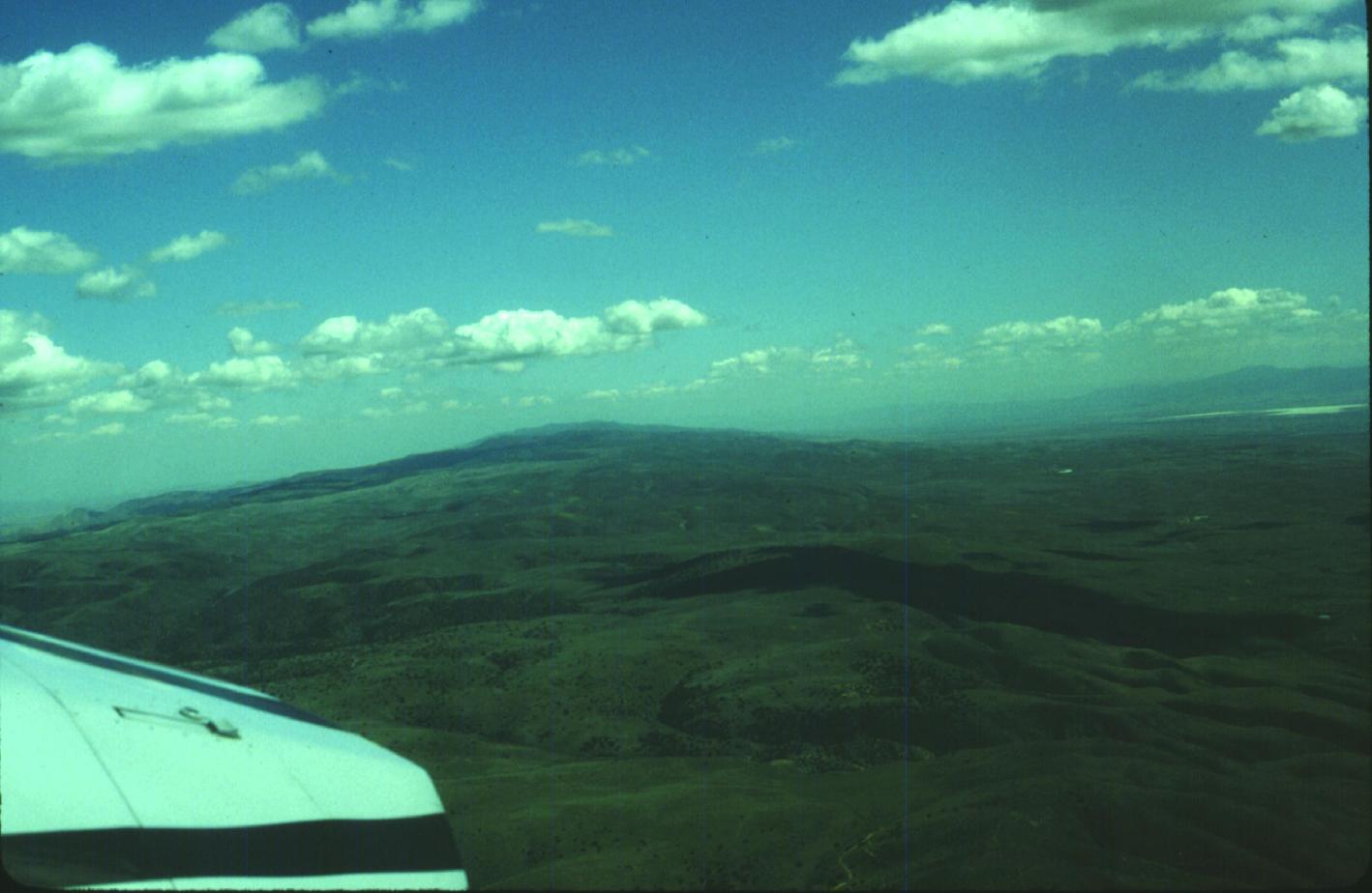
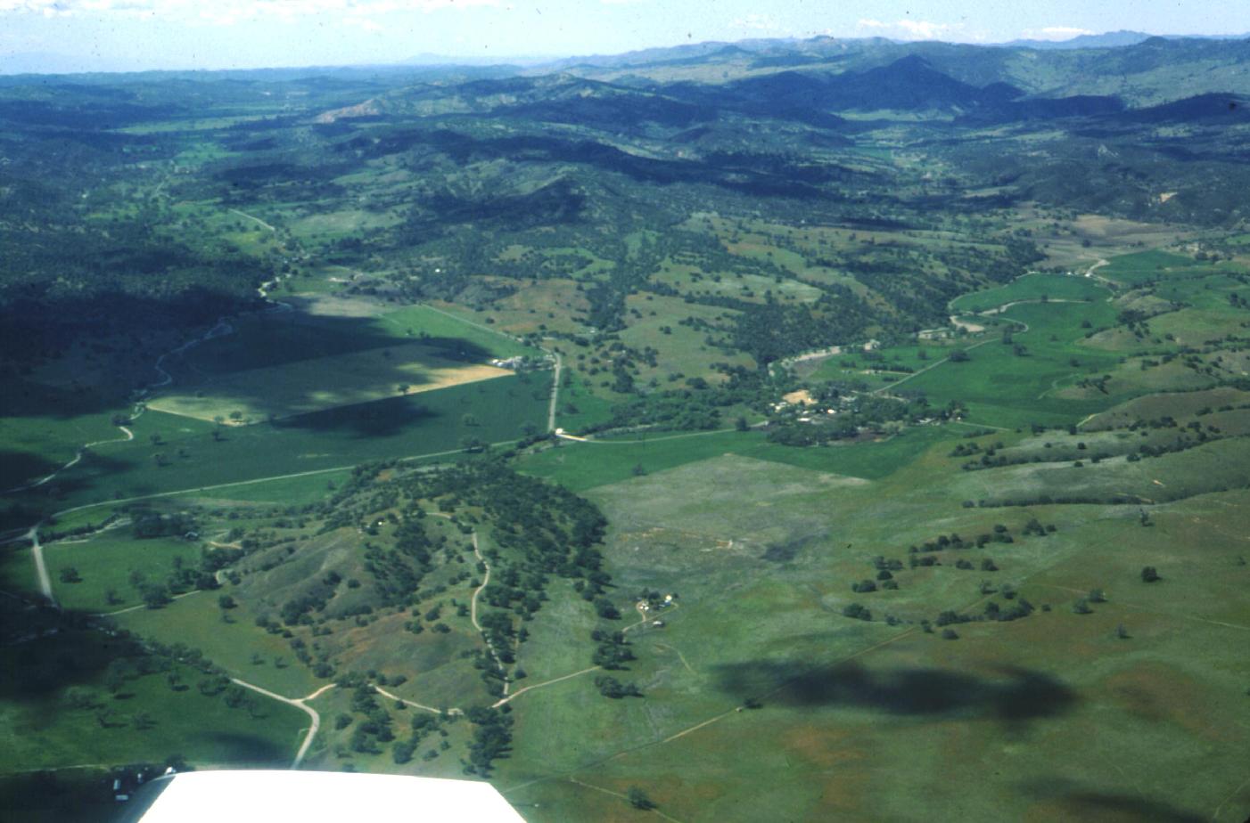
Cuddy Valley, Frazier Park, San Andreas Fault, view to West-Northwest
Download approx. 14 Mb TIF file

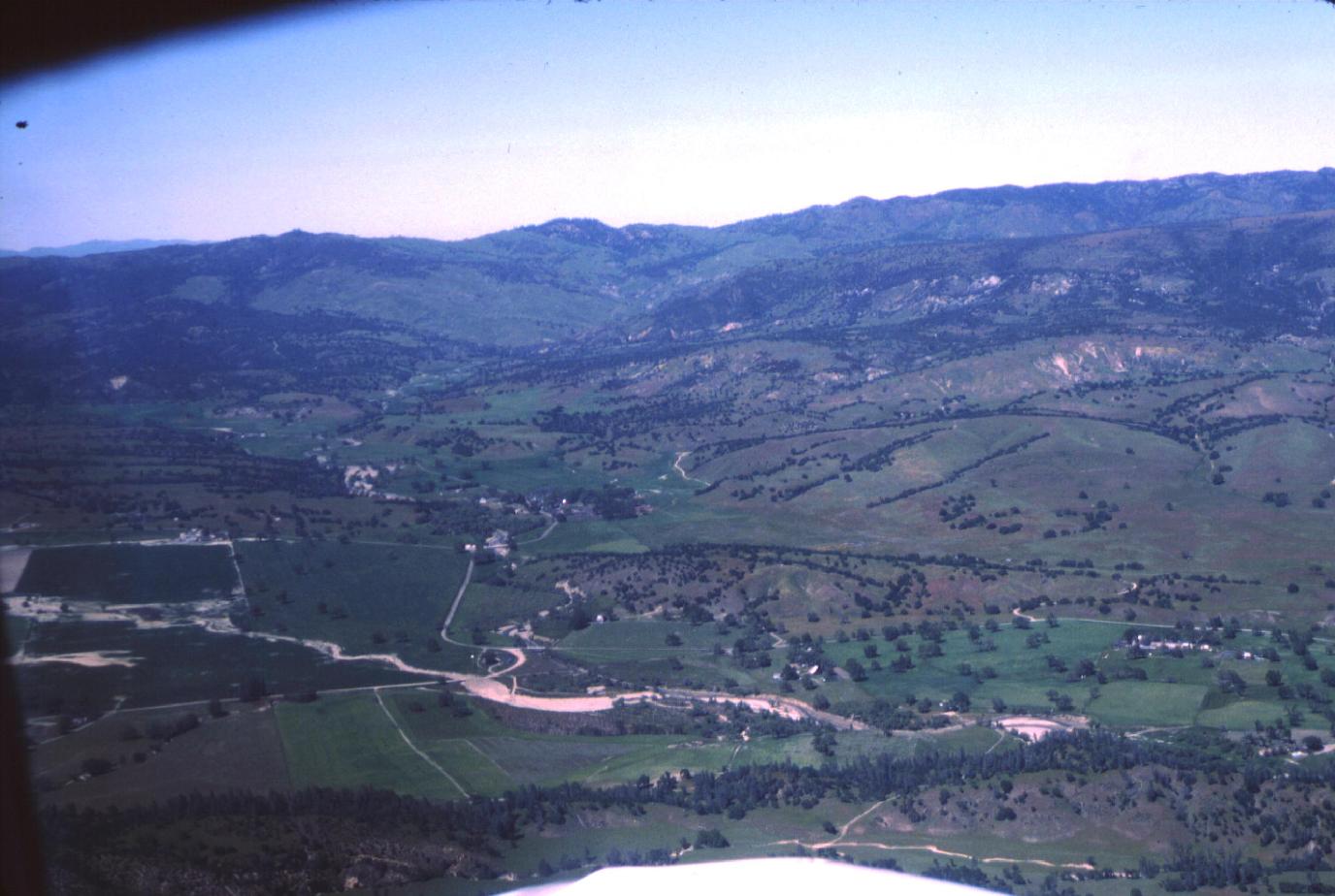
Frazier Park and I-5
Download approx. 14 Mb TIF file

Frazier Park, I-5, Gorman and 138
Download approx. 14 Mb TIF file
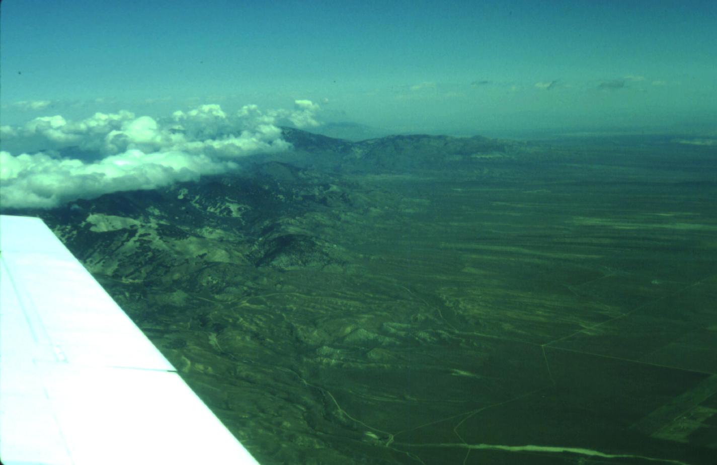
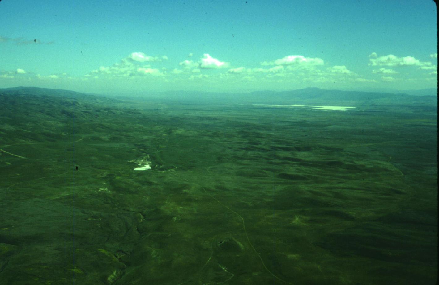
Antelope Valley, view to the East
Download approx. 14 Mb TIF file
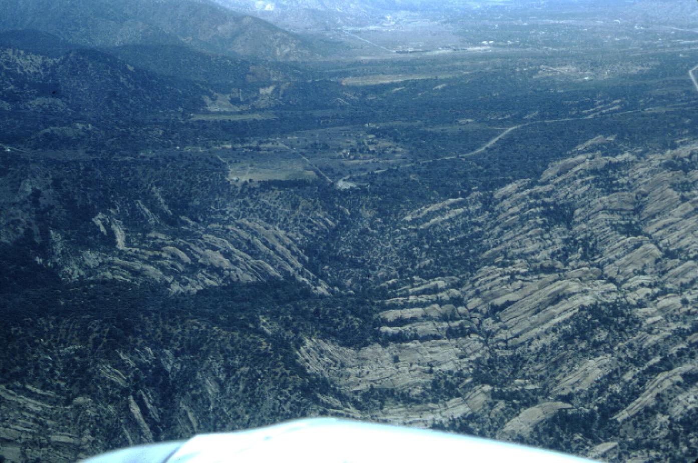
Devil's Punch Bowl
Download approx. 14 Mb TIF file
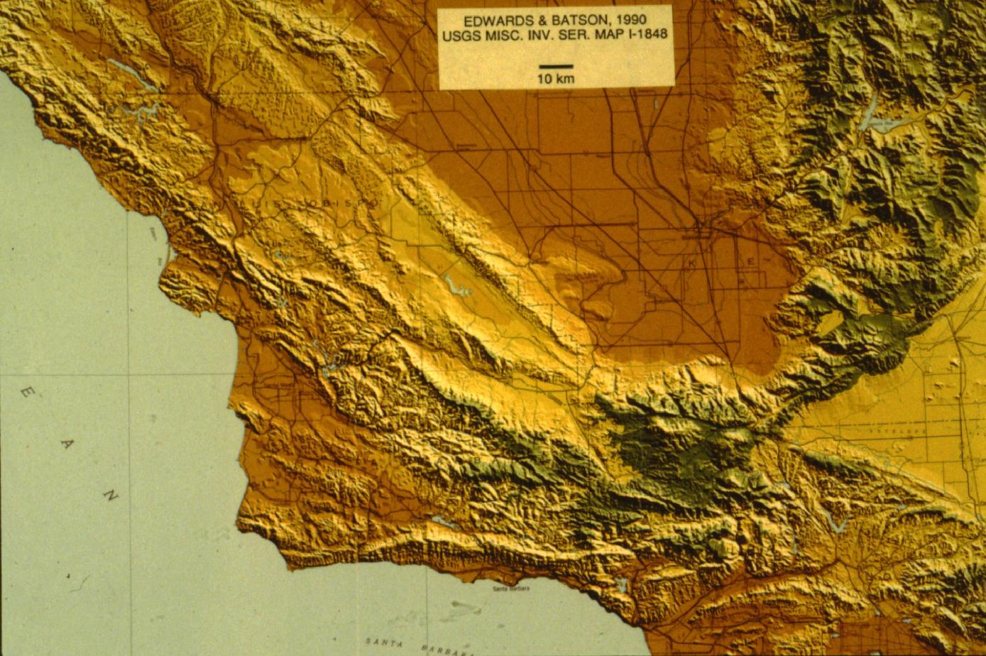
Southern California shaded relief, Edwards and Batson, 1990
Download approx. 14 Mb TIF file
Arrowsmith, 1989
Download approx. 14 Mb TIF file
Arrowsmith, 1989
Download approx. 14 Mb TIF file
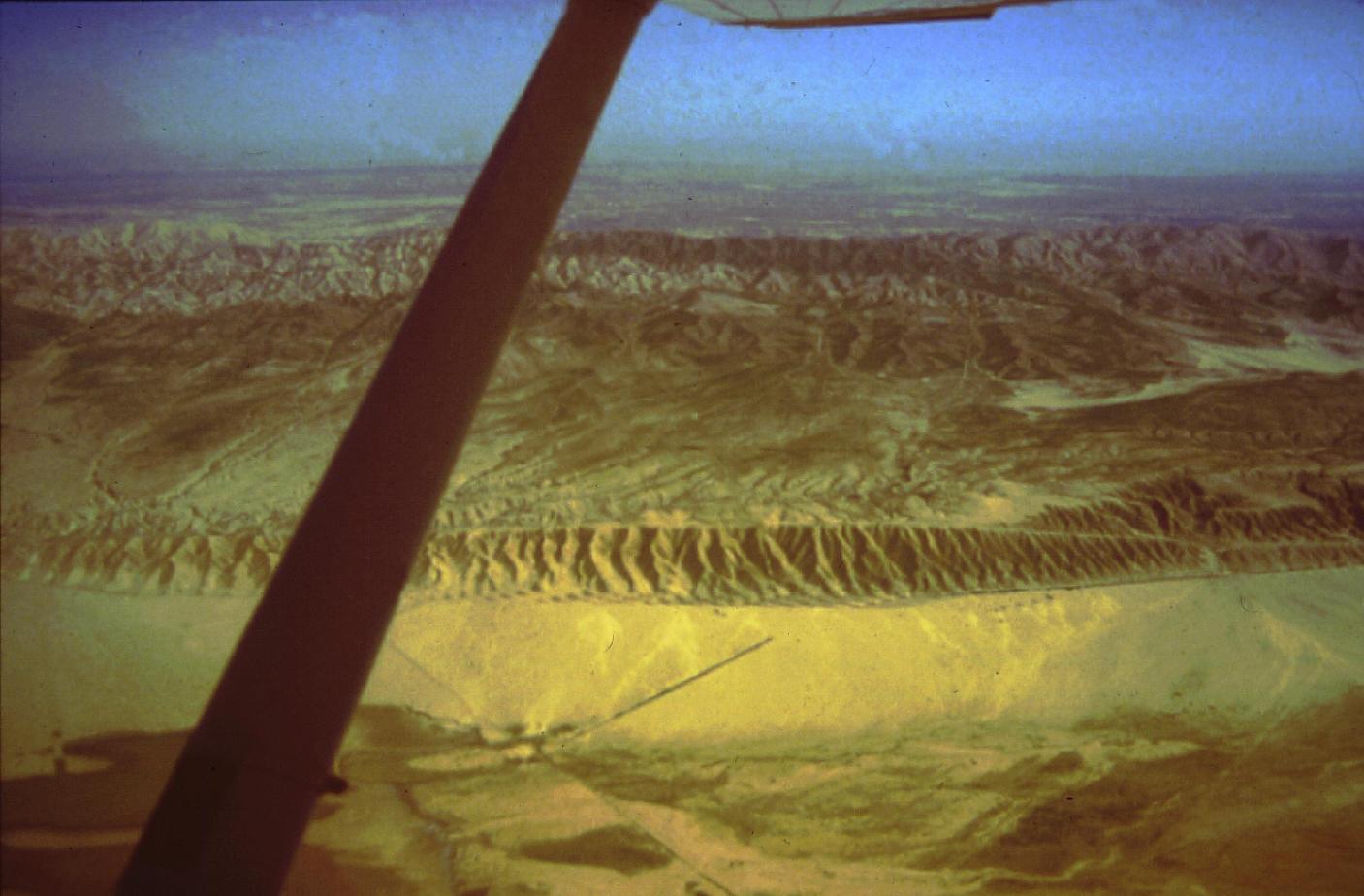
San Andreas Fault and Southern Elkhorn Hills, view to Southeast
Download approx. 14 Mb TIF file
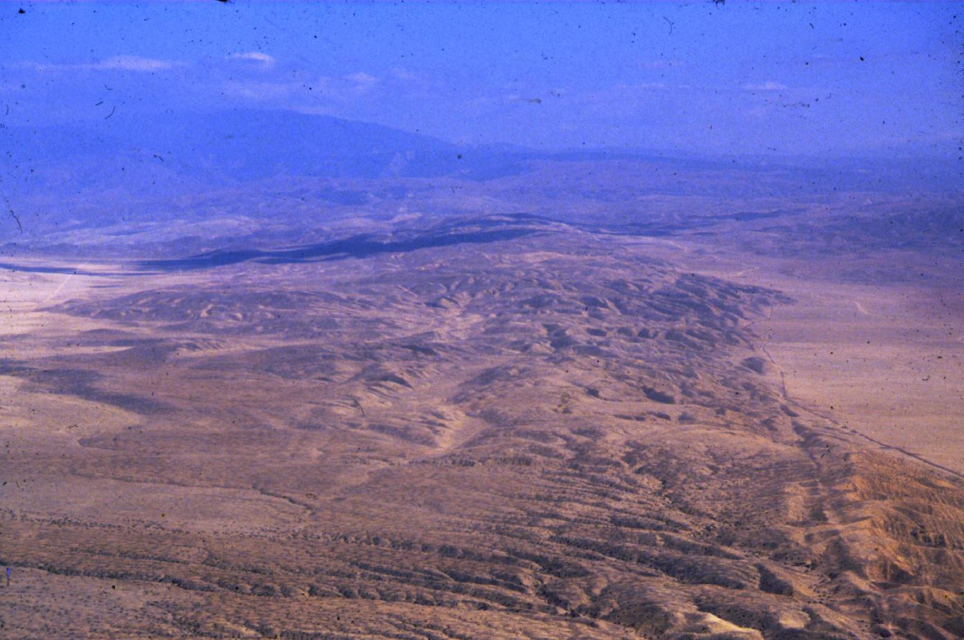
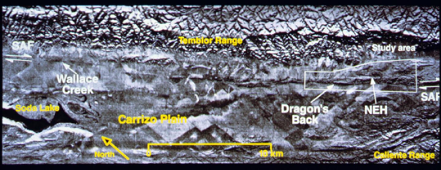
Northern Elkhorn Hills, Carrizo Plain, view to Northwest
Download approx. 14 Mb TIF file
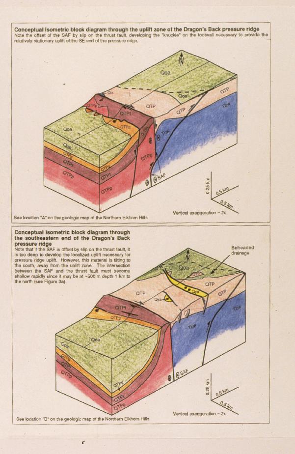
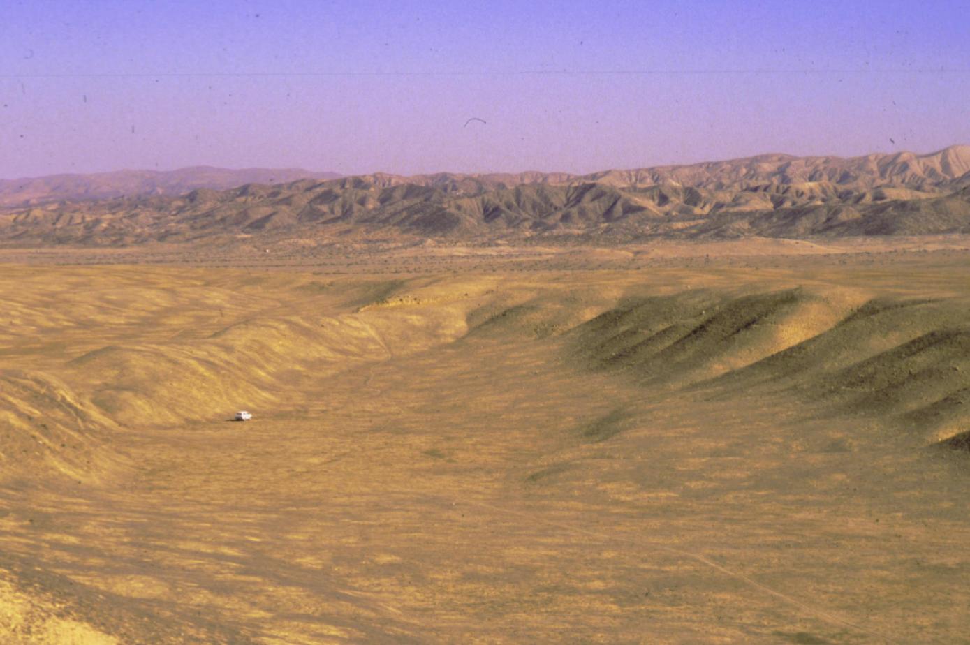
Dragon's back, Carrizo Plain
Download approx. 14 Mb TIF file
Elkhorn Hills, Carrizo Plain, view to Southeast
Download approx. 14 Mb TIF file
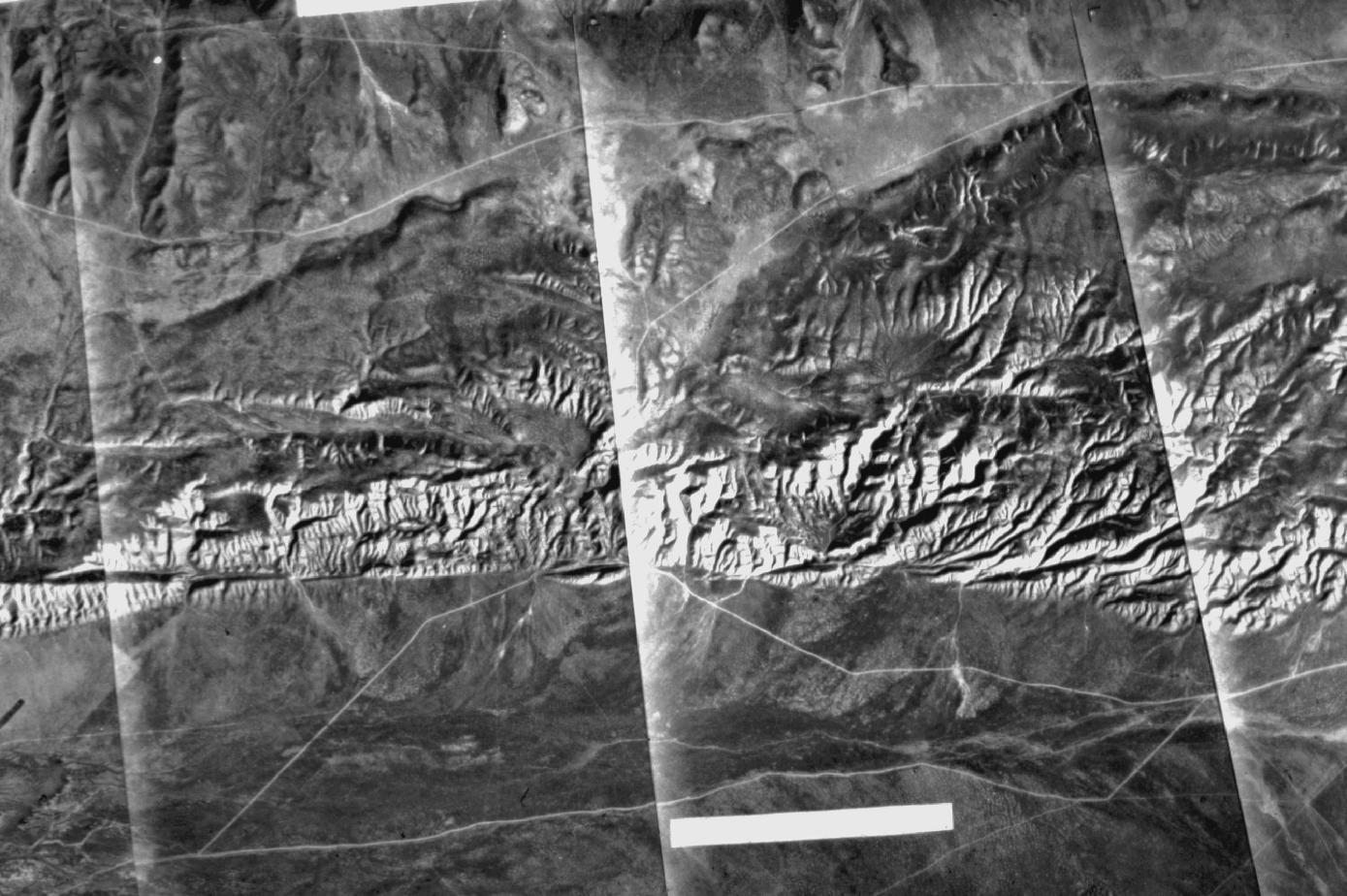
Aerial photographs from the Fairchild collection of Elkhorn Hills and San Andreas Fault
Download approx. 14 Mb TIF file
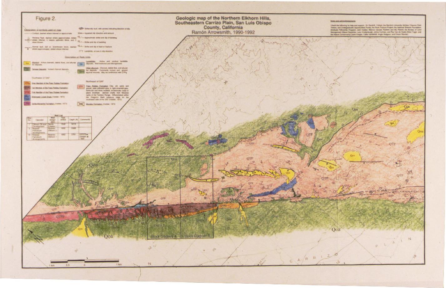
Arrowsmith, 1995 geologic map of Elkhorn Hills
Download approx. 14 Mb TIF file
Arrowsmith, 1995
Download approx. 14 Mb TIF file
Big graben, Elkhorn Hills, Carrizo Plain
Download approx. 14 Mb TIF file
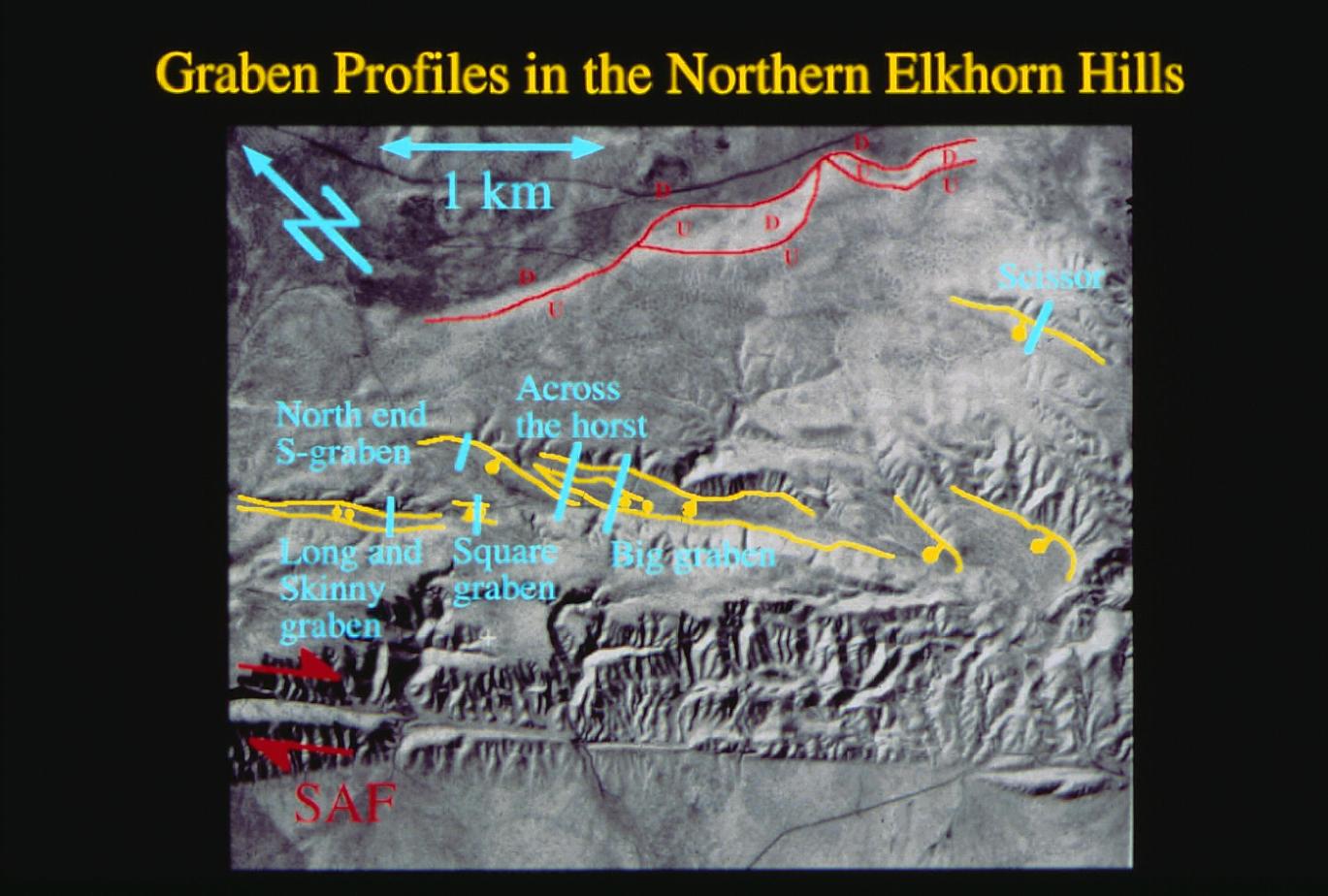
Graben profiles in the Northern Elkhorn Hills
Download approx. 14 Mb TIF file
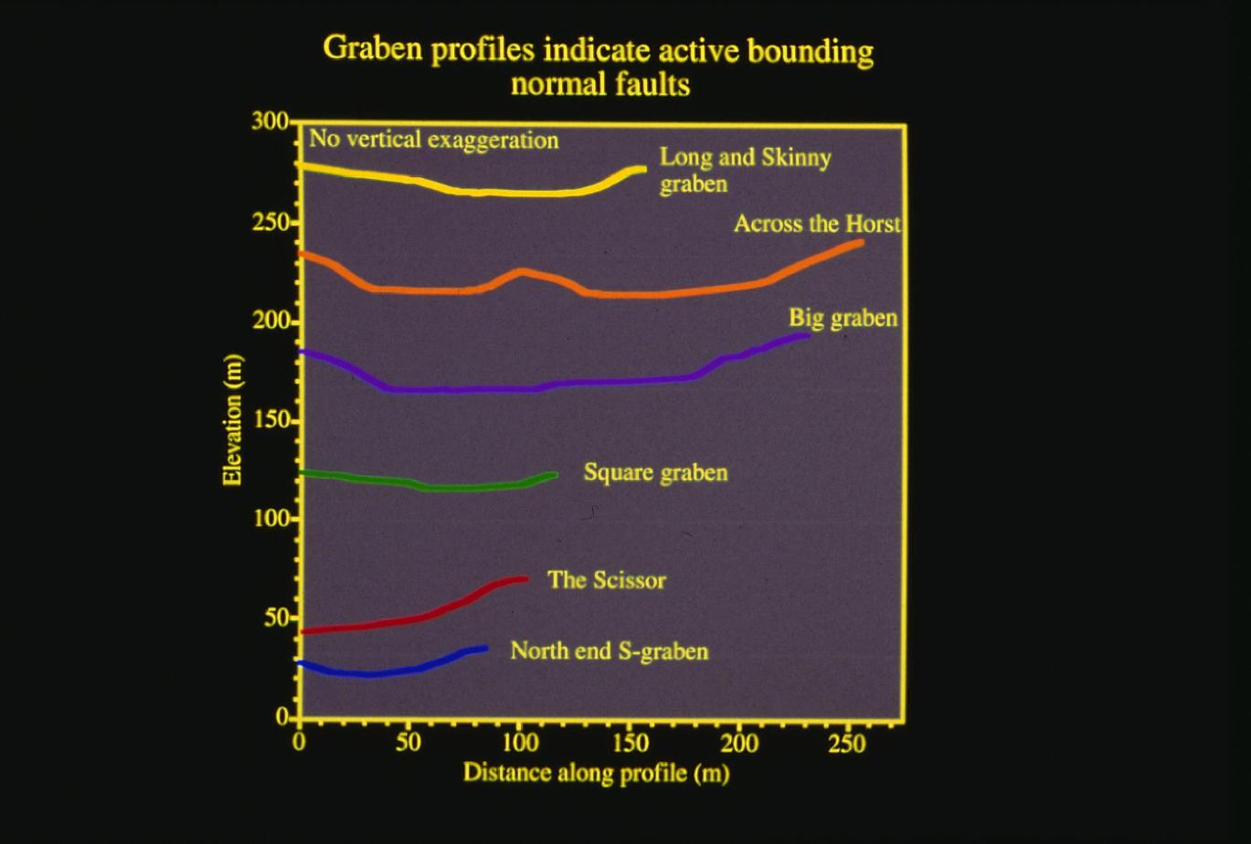
Graben profiles indicate active bounding normal faults
Download approx. 14 Mb TIF file
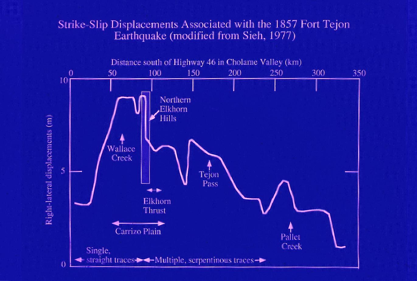
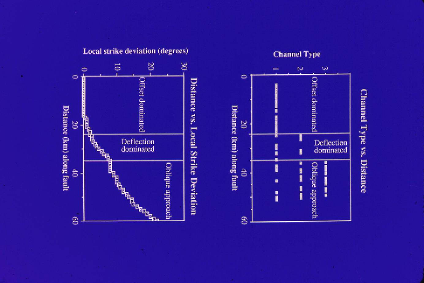
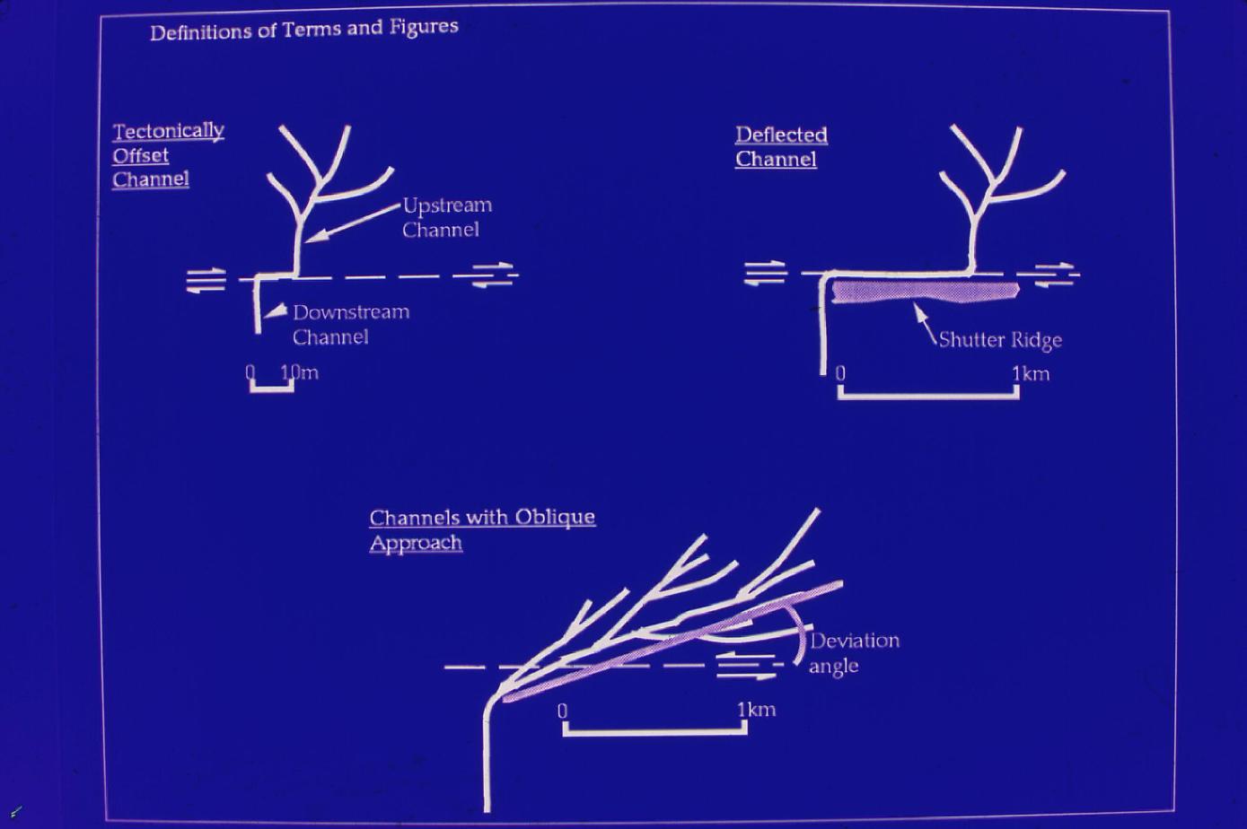
1857 Offset distribution
Download approx. 14 Mb TIF file
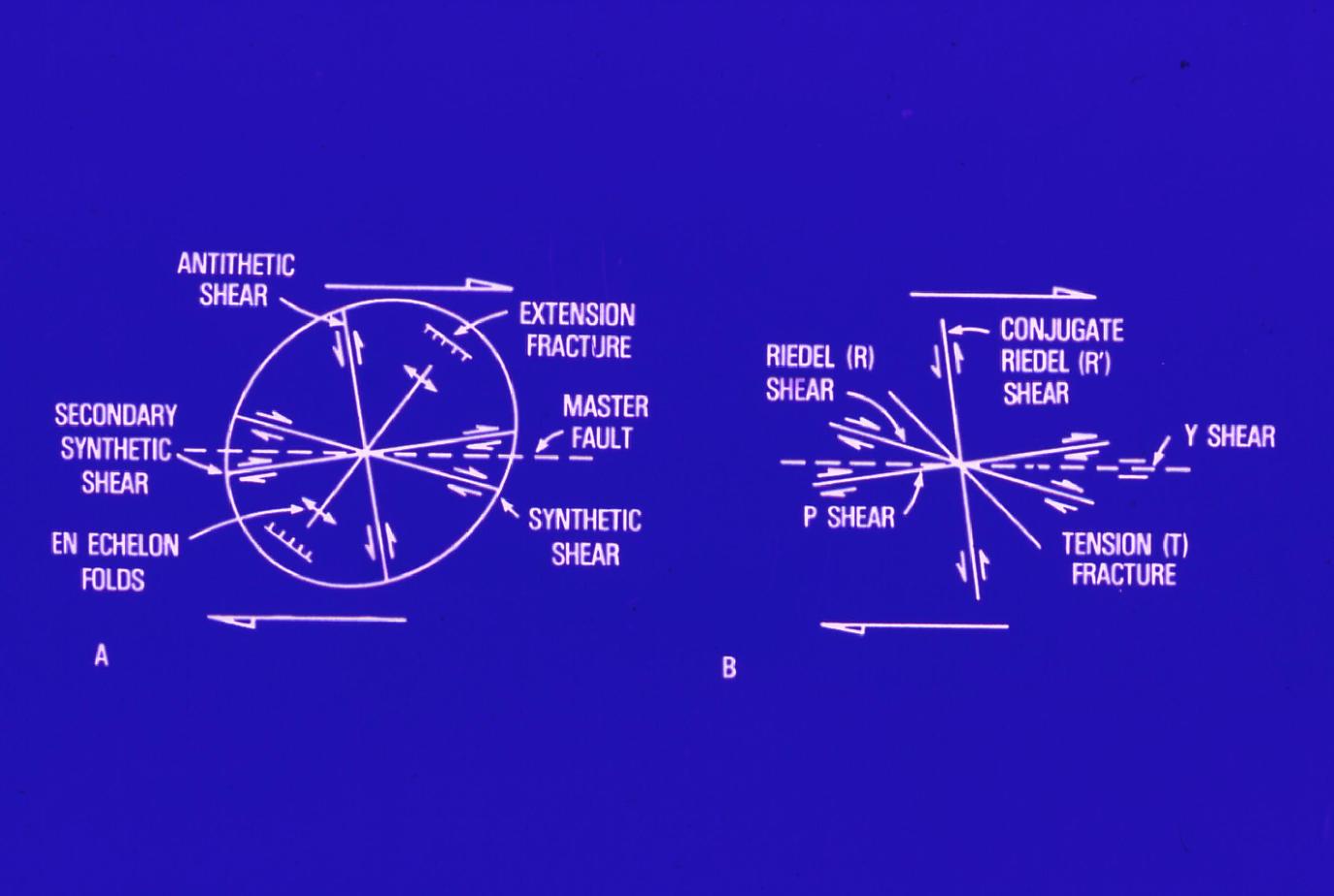
Shearing relationships (Christie-Blick and Biddle)
Download approx. 14 Mb TIF file
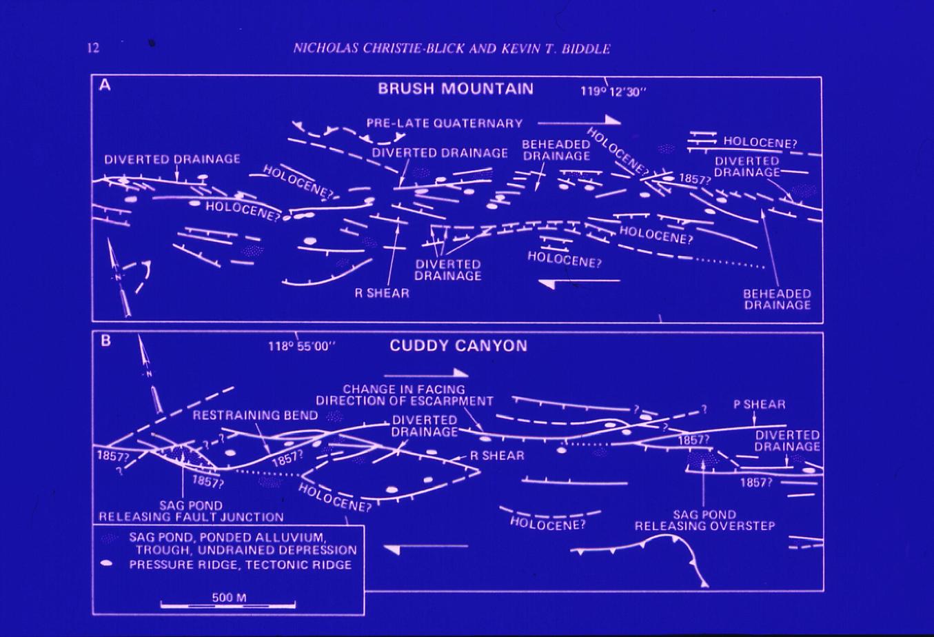
San Andreas Fault structures (Christie-Blick and Biddle)
Download approx. 14 Mb TIF file
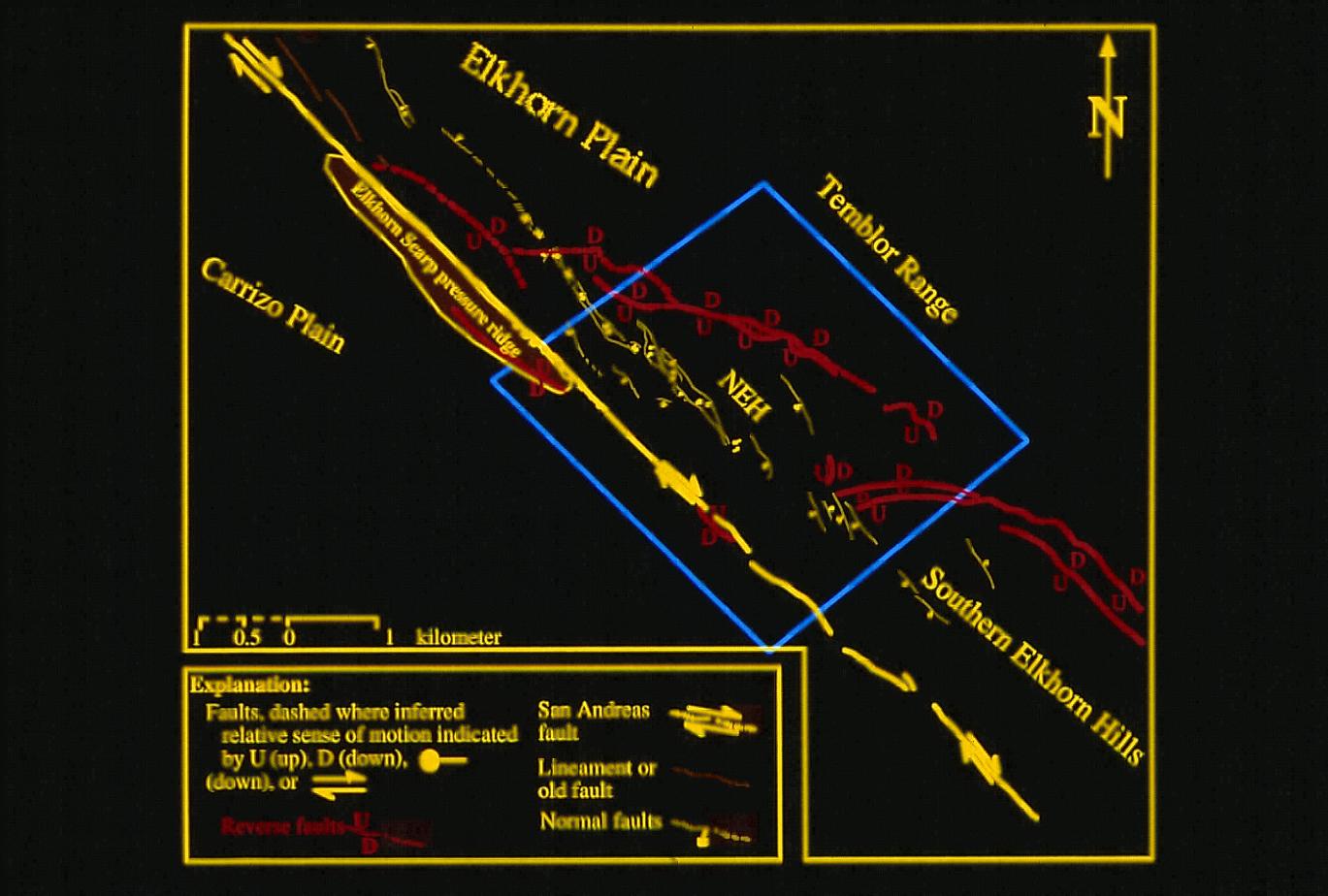
Major structures in Elkhorn Hills
Download approx. 14 Mb TIF file
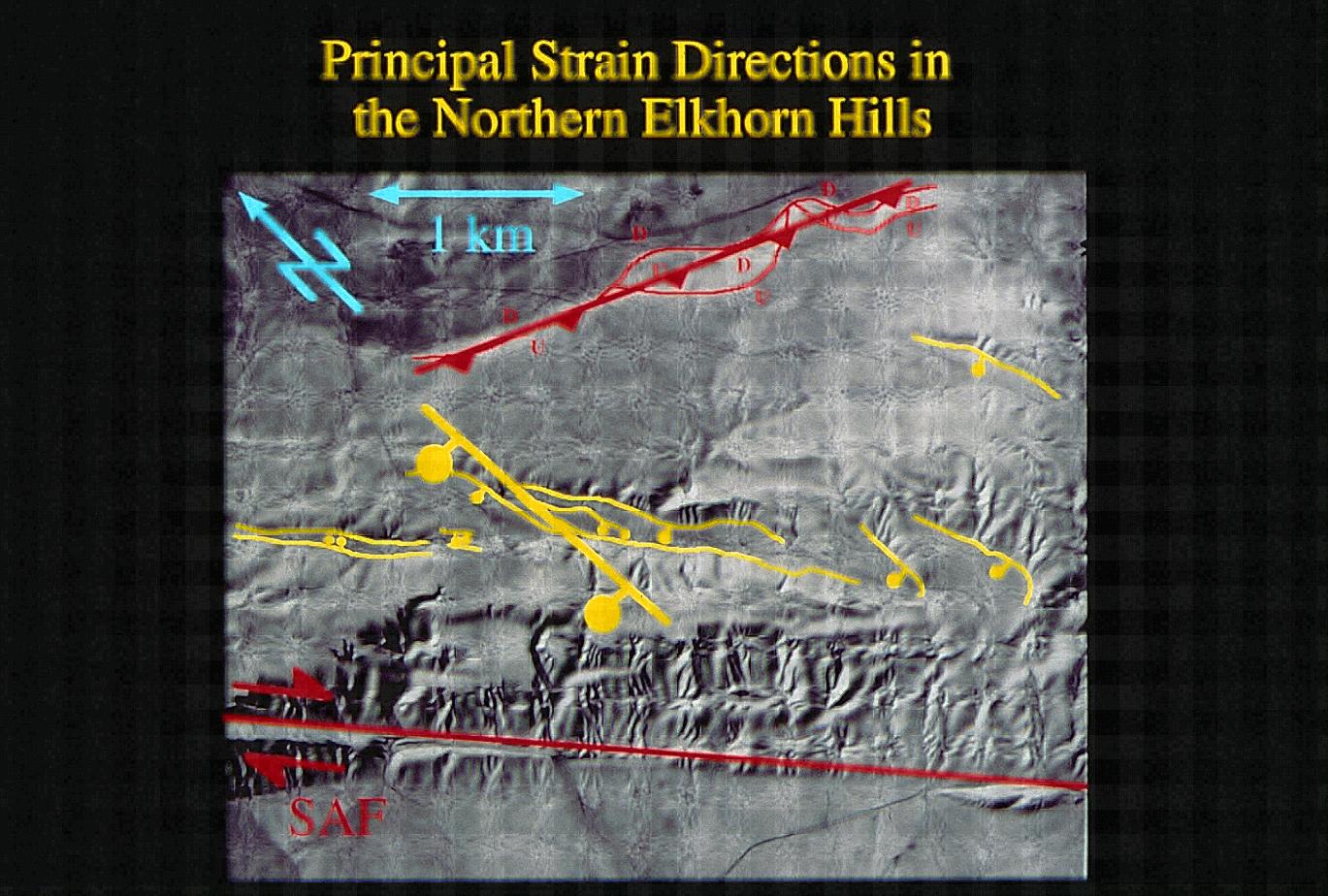
Principal strain directions in the Northern Elkhorn Hills
Download approx. 14 Mb TIF file
Radar image of Carrizo Plain
Download approx. 14 Mb TIF file
Double strand area, San Andreas Fault, Carrizo Plain
Download approx. 14 Mb TIF file
Wallace Creek, San Andreas Fault, (Wallace and Schulz, 1983)
Download approx. 14 Mb TIF file

1857 Earthquake sequence (Arrowsmith, et al., 1997)
Download approx. 14 Mb TIF file
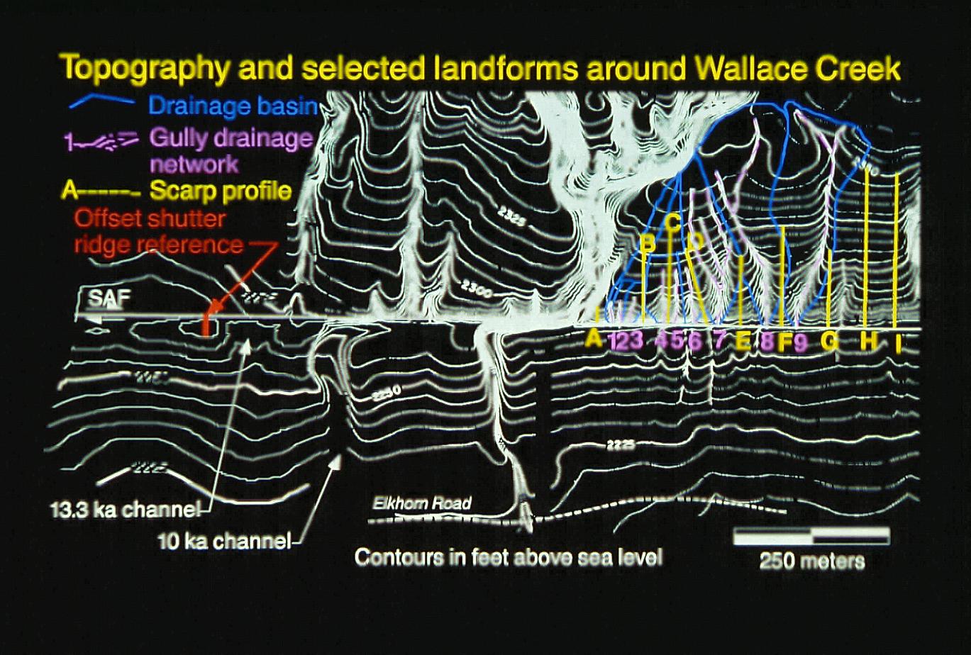
Topography and selected landforms around Wallace Creek (Arrowsmith, et al., 1998)
Download approx. 14 Mb TIF file
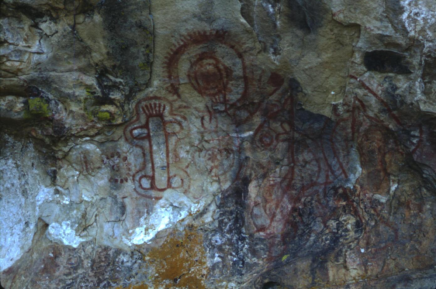
Pictographs, Carrizo Plain
Download approx. 14 Mb TIF file
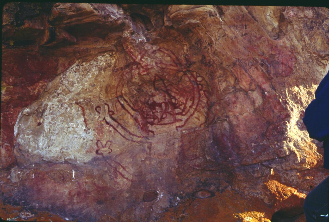
Saucedo pictograph, Carrizo Plain
Download approx. 14 Mb TIF file
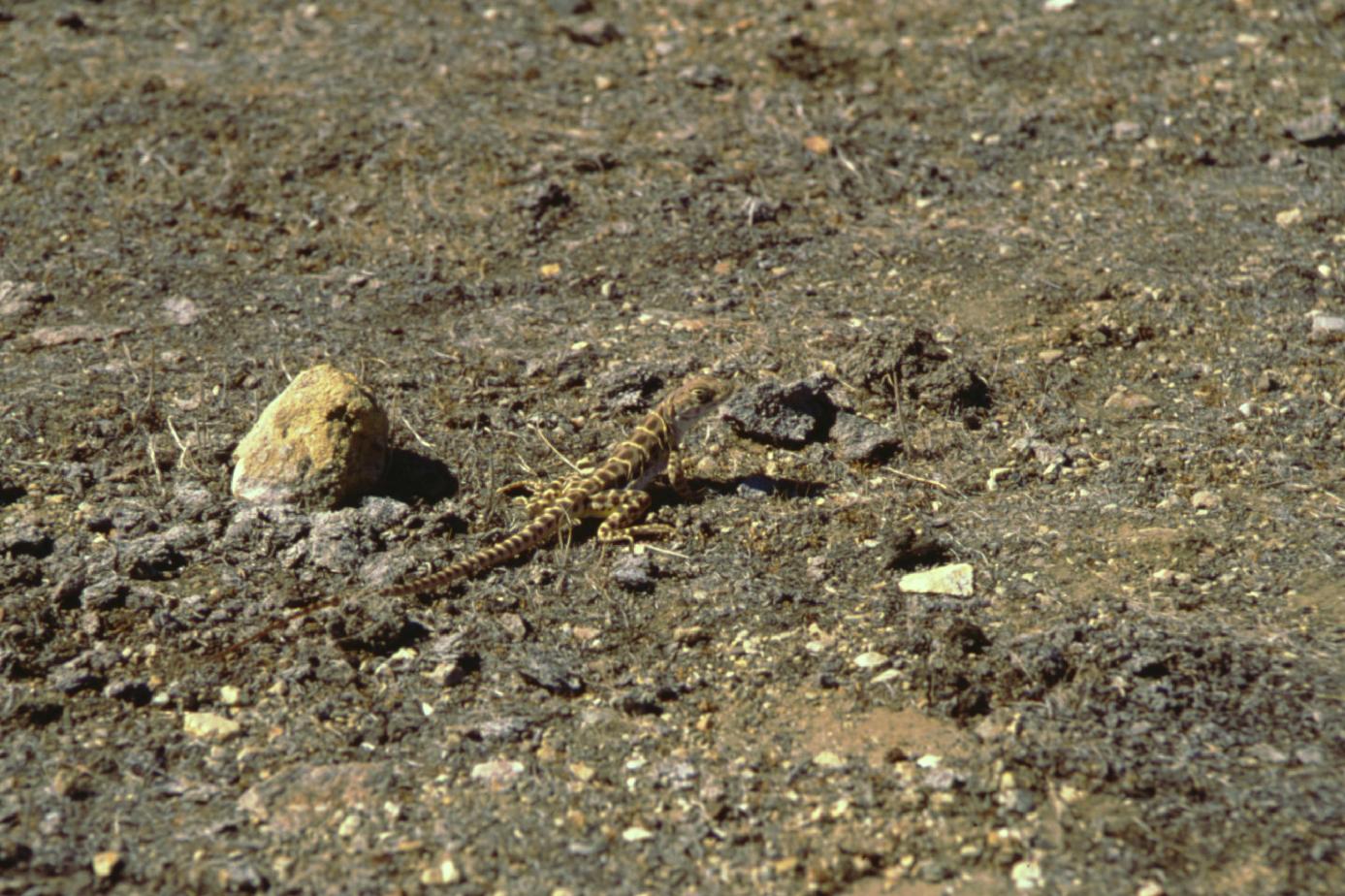
Blunt nosed leopard lizard
Download approx. 14 Mb TIF file
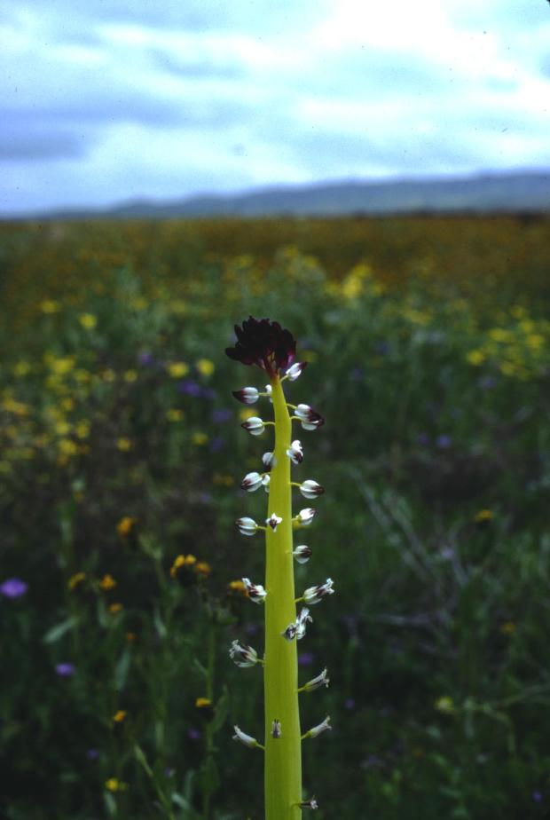
Desert Candle (https://en.wikipedia.org/wiki/Caulanthus_inflatus. Thanks to Graham Biddy for the clarification.
Download approx. 14 Mb TIF file
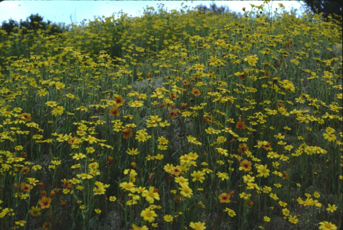
Flowers in Carrizo Plain
Download approx. 14 Mb TIF file
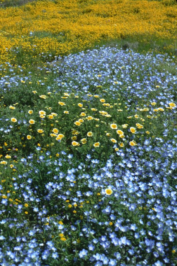
Carrizo Plain Flowers
Download approx. 14 Mb TIF file
San Andreas Fault offsets along Palo Prieto Pass
Download approx. 14 Mb TIF file
San Andreas Fault in Palo Prieto Pass area
Download approx. 14 Mb TIF file
San Andreas Fault in Palo Prieto Pass area
Download approx. 14 Mb TIF file
San Andreas Fault in Northern Carrizo Plain (note multi-strands)
Download approx. 14 Mb TIF file
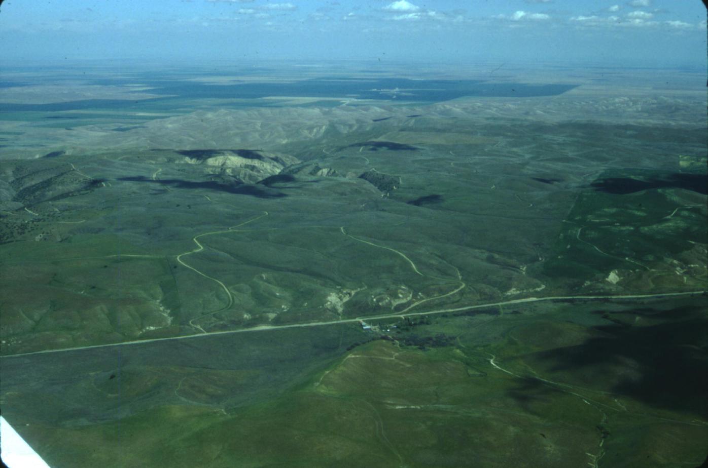
Northern Temblor Range
Download approx. 14 Mb TIF file
Gold Hill, North Cholame Valley
Download approx. 14 Mb TIF file
Parkfield Southeast
Download approx. 14 Mb TIF file
Parkfield Northwest
Download approx. 14 Mb TIF file
Parkfield
Download approx. 14 Mb TIF file
Parkfield and Carr Hill
Download approx. 14 Mb TIF file
Carr Hill and San Andreas Fault near Parkfield
Download approx. 14 Mb TIF file
Carr Hill and San Andreas Fault near Parkfield
Download approx. 14 Mb TIF file
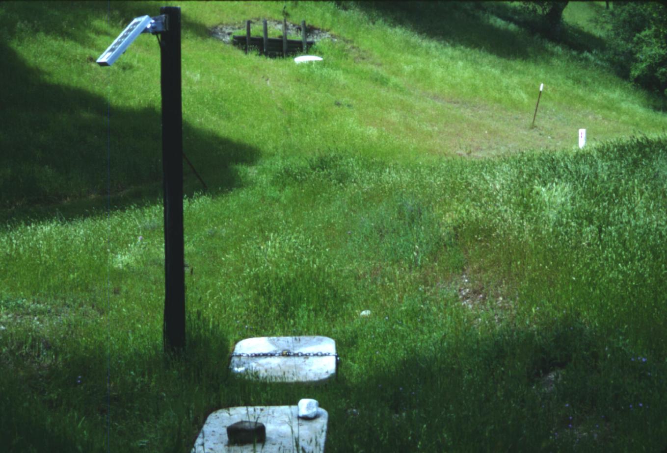
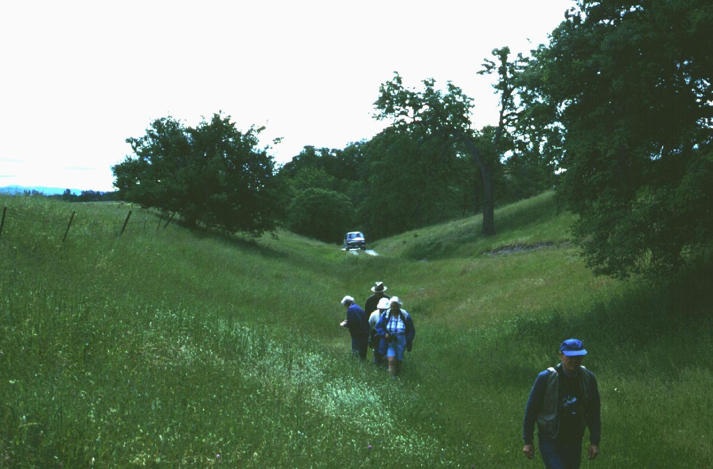
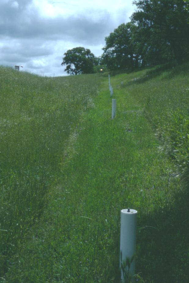
Creep meter at Carr Hill
Download approx. 14 Mb TIF file
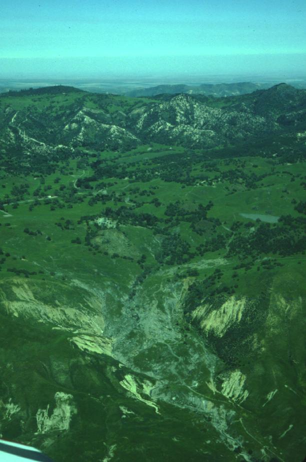
Landslides northwest of Parkfield
Download approx. 14 Mb TIF file
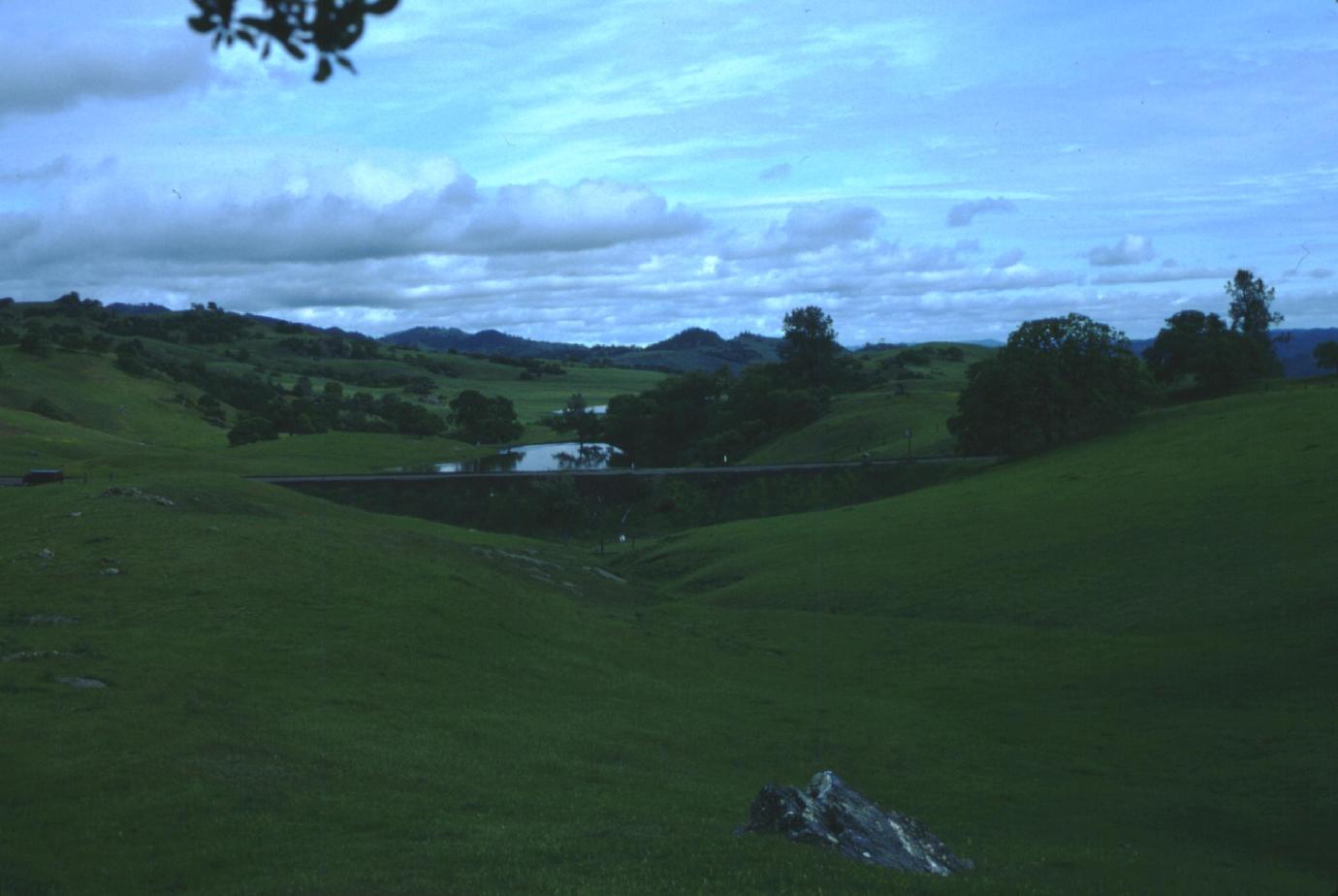
Sag ponds southeast of bent tree (Mustang Ridge)
Download approx. 14 Mb TIF file
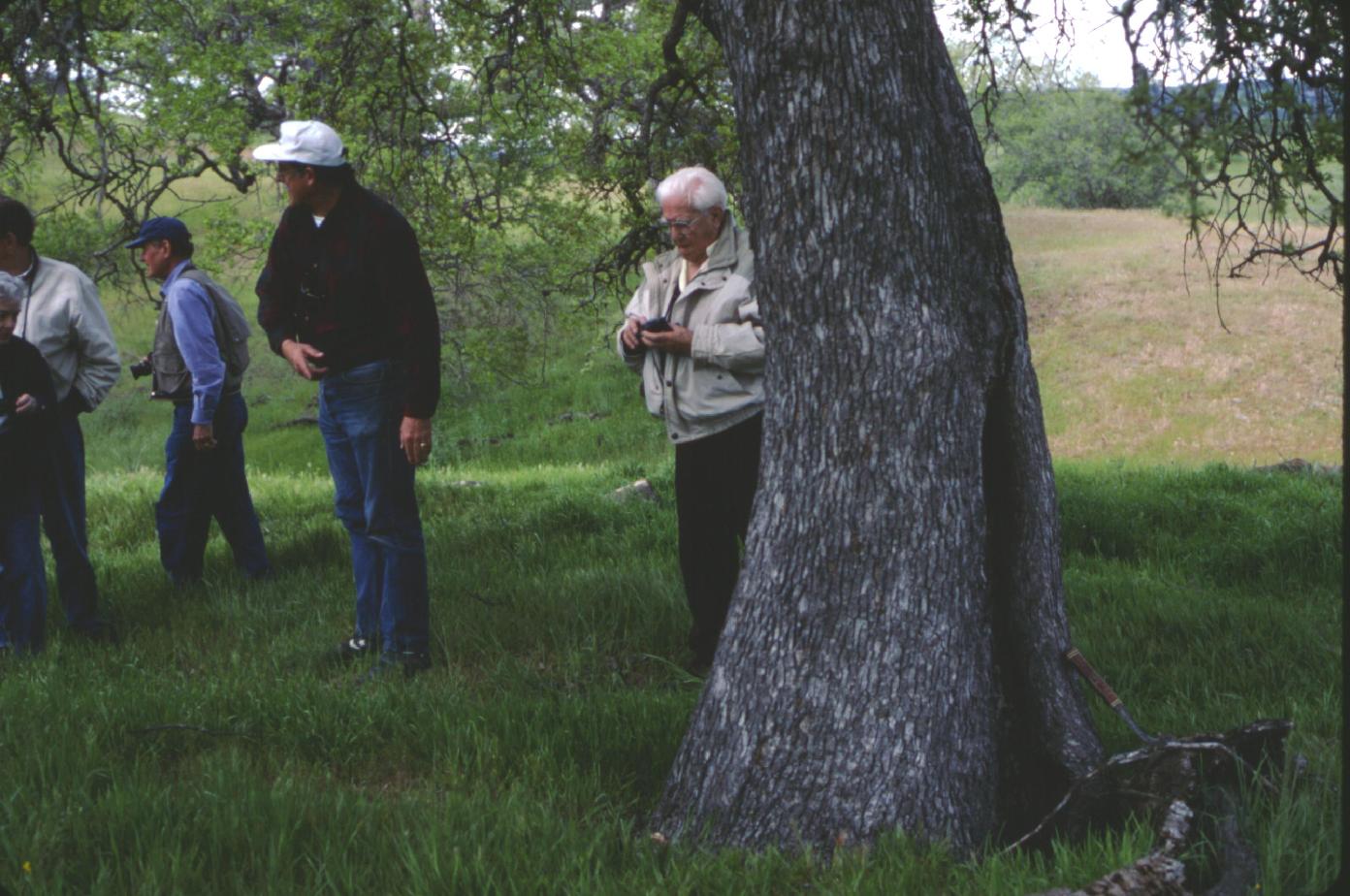
Bent tree, Mustang Ridge
Download approx. 14 Mb TIF file
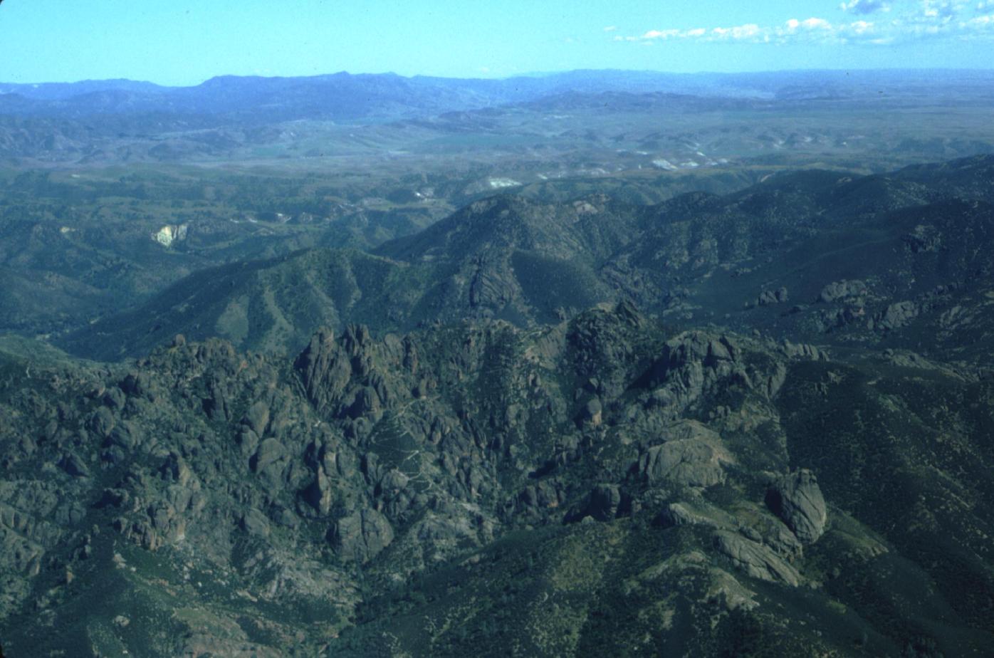
Pinnacles
Download approx. 14 Mb TIF file
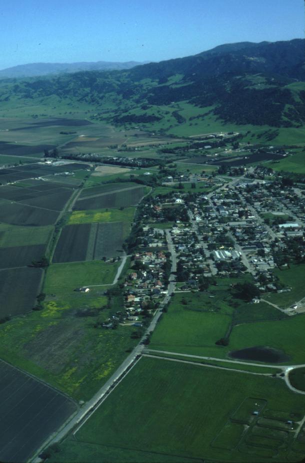
San Juan Bautista view to Southeast
Download approx. 14 Mb TIF file
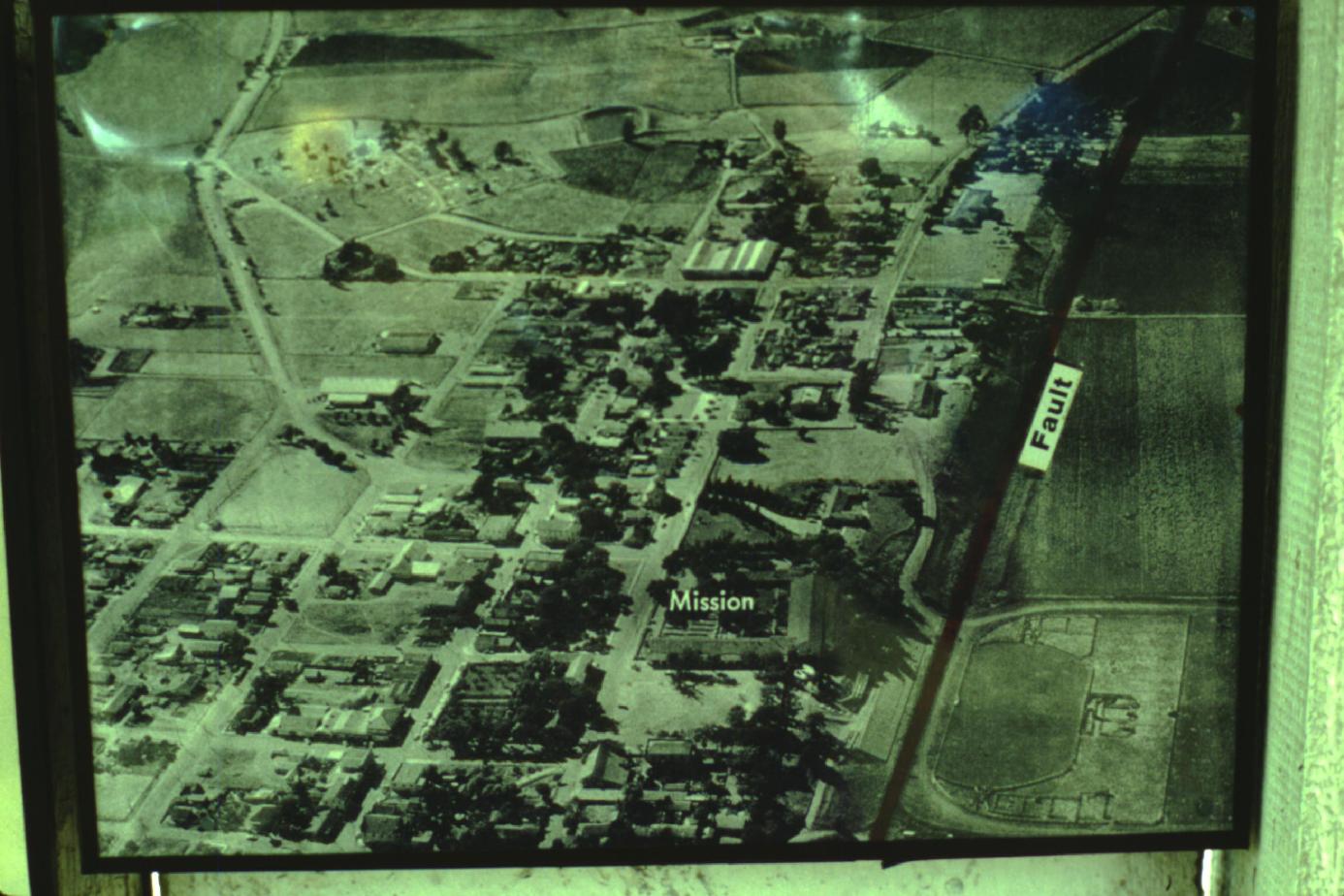
San Juan Bautista airphoto
Download approx. 14 Mb TIF file
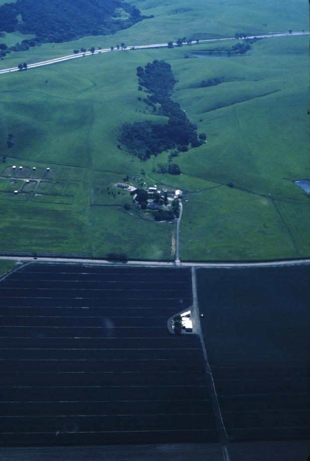
Nyland Ranch northwest of San Juan Bautista
Download approx. 14 Mb TIF file
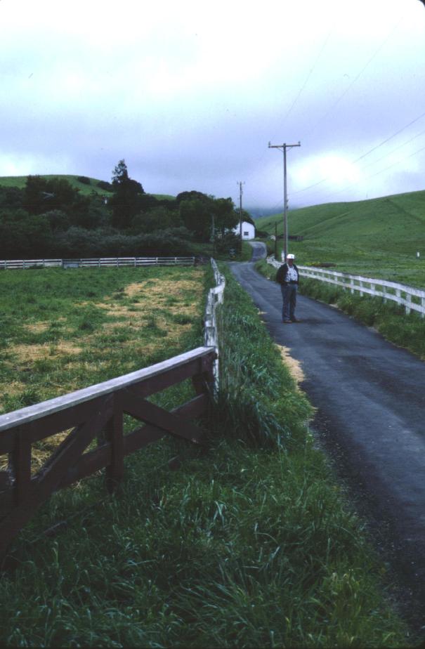
Nyland Ranch with fence deformed by creep
Download approx. 14 Mb TIF file