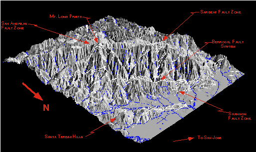
We assume that the surface deformation caused by active earthquake faulting is expressed in tectonic landscapes. Analysis of landforms can be used to determine information about the location, geometry, and activity of the causative faults. If these faults do not break the surface, they would go undetected by standard evaluation methods. This research uses an integrated approach of focused field observations and state-of-the-art computer models of the actively deforming and degrading landscape to provide new tools for the quantitative identification and characterization of hazardous faults. We will apply this approach to evaluate active thrust faults in the southern San Francisco Bay area.
National Earthquake Hazards Reduction Program (NEHRP) 1997 Annual Report
Morphometry
Study of the Bay Area Penninsula, Central Caliornia