Digital Elevation Models (DEMs):
-
Asia DEM - 1 km elevation data for Asia
Northern Tien Shan (Issyk-Kul Region) SRTM data - 90 m SRTM data for the Issyk-Kul region, includes the region of the 1911 Kebin (Chon-Kemin) earthquake.
Shapefiles:
-
Tien Shan Active Faults - Provided by the Kyrgyz Institute of Seismology (KIS). Digitized by our research group
Tien Shan Faults - Hager et al.
Bodgonovitch mapping of 1911 EQ faulting - From Bodgonovitch et al., 1914. Digitized by our group
Bodgonovitch mapping of 1911 EQ associated mass movements - From Bodgonovitch et al., 1914. Digitized by our group
Groud rupture on the Chon Aksu and Aksu segments of 1911 EQ - Mapping and GIS compilation a result of our ongoing research in the Northern Tien Shan
N. Tien Shan region seismicity - Compiled from the ANSS catalog
Isoseismal lines for the Kebin and Chilik EQs - Digitized by our group
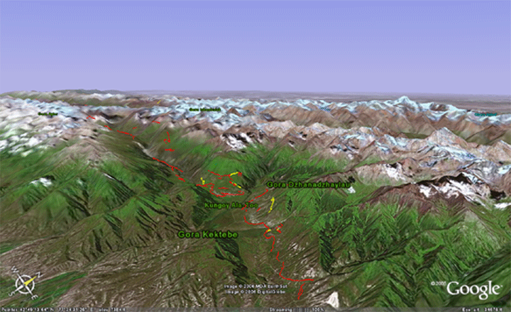
The files below can be viewed in Google Earth, a free geospatial data viewer. To view the files, right-click and save them to your desktop. Lauch Google Earth and then drag and drop the files into the Google Earth viewer. Alternatively, if your browser is configured appropriately, you may open the Google Earth files simply by clicking on them (they will open in a manner similar to a pdf).
-
Ground rupture associated with the 1911 Chon Kemin Earthquake - Mapping and GIS compilation a result of our research in the Northern Tien Shan
Ground rupture associated with the 1911 Chon Kemin Earthquake (with labels) - Same data as fault trace file above but with labels visible in Google Earth
Slip associated with the 1911 Chon Kemin Earthquake - Mapping and GIS compilation a result of our research in the Northern Tien Shan
Bodgonovitch mapping of 1911 EQ faulting - From Bodgonovitch et al., 1914. Digitized by our group
Bodgonovitch mapping of 1911 EQ associated mass movements - From Bodgonovitch et al., 1914. Digitized by our group
