The LiDAR scanner detected a total of 357,755,780 laser returns for the entire
scan area, with an average laser shot density of ~9 shots/m2.
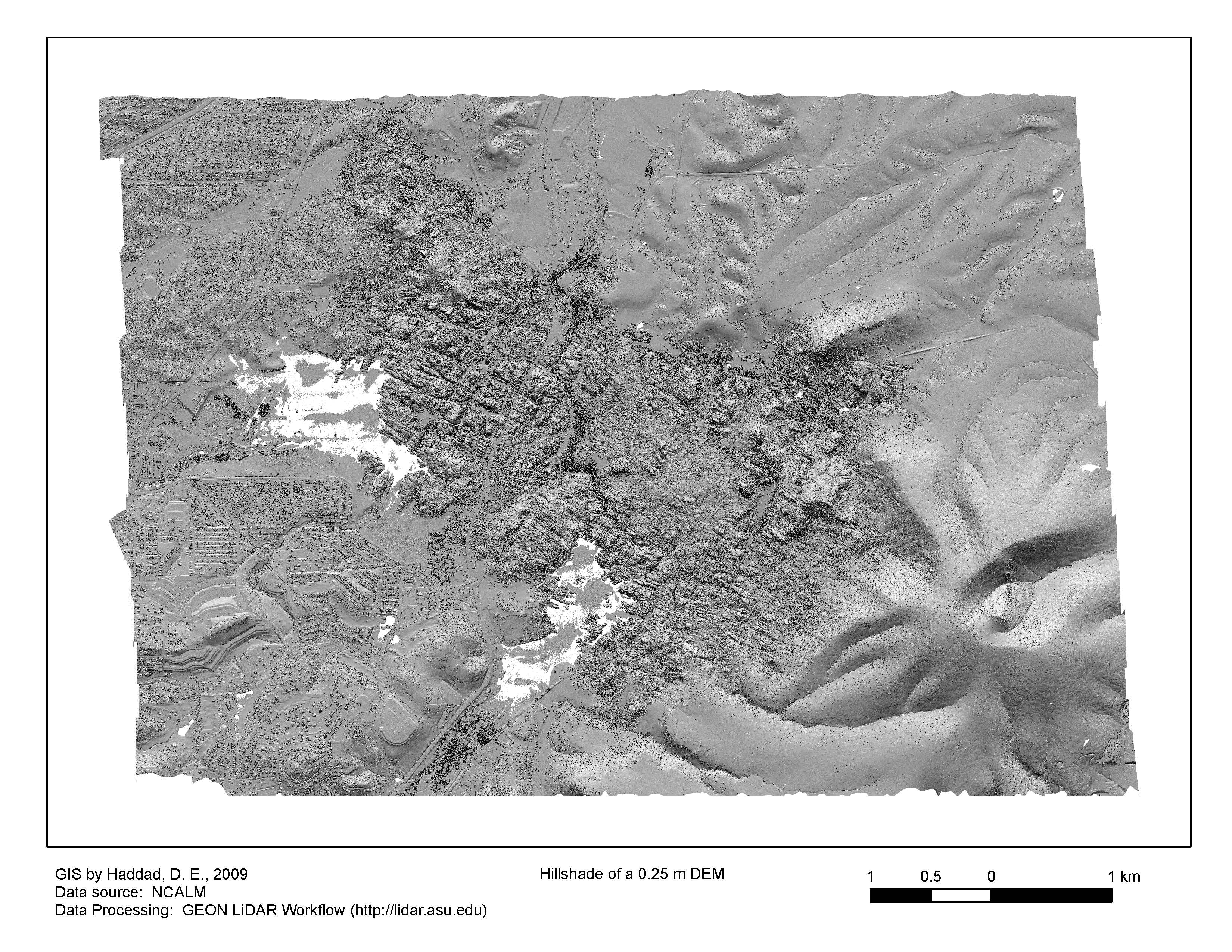
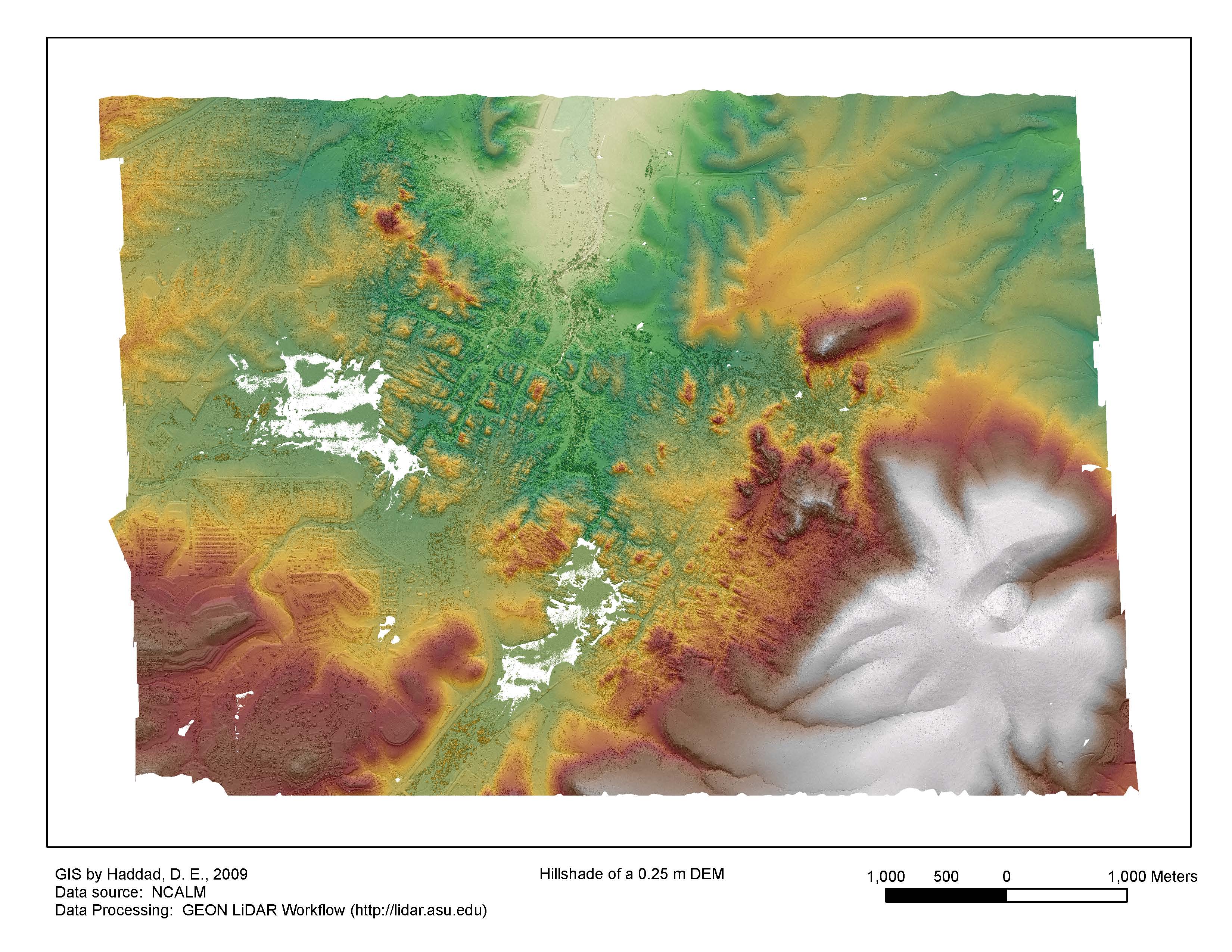
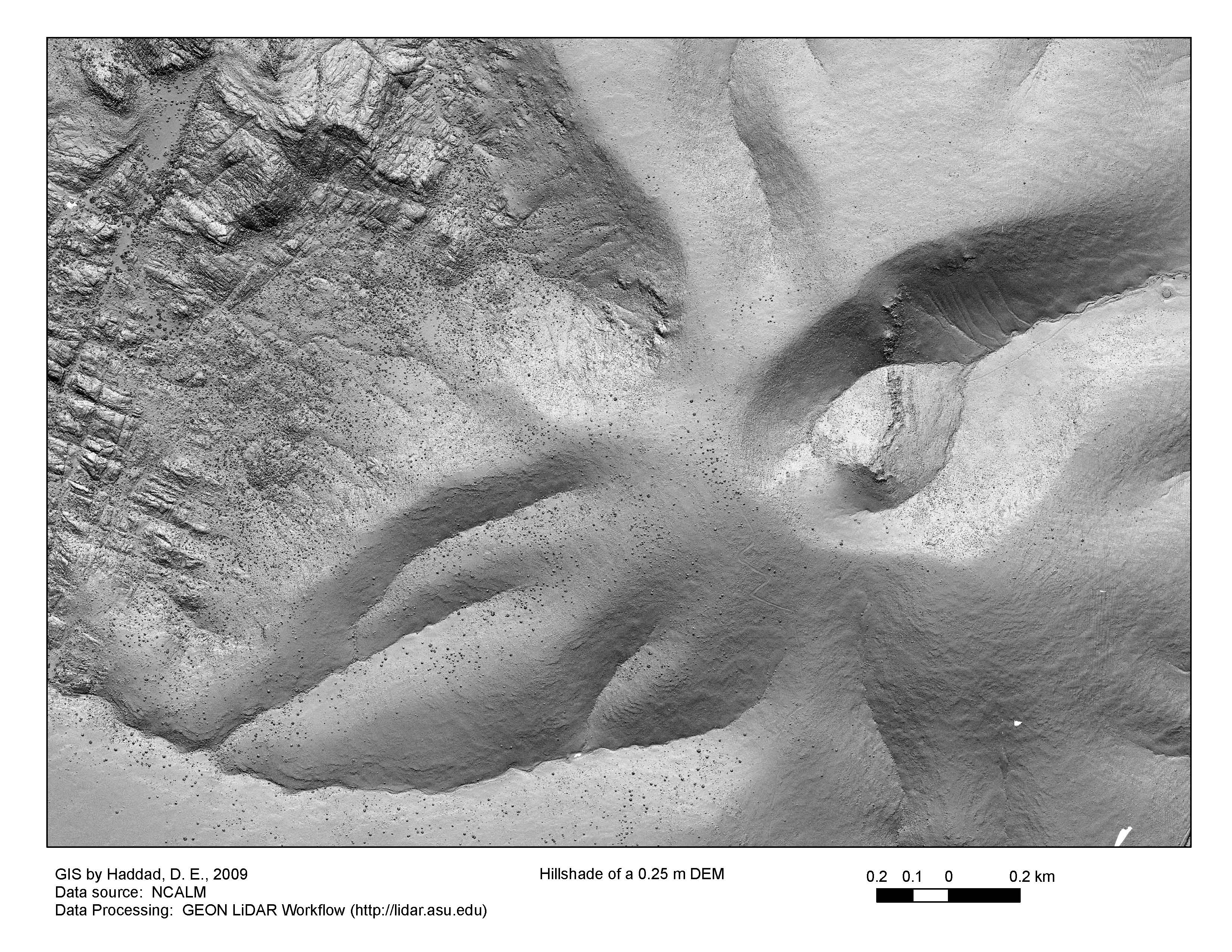
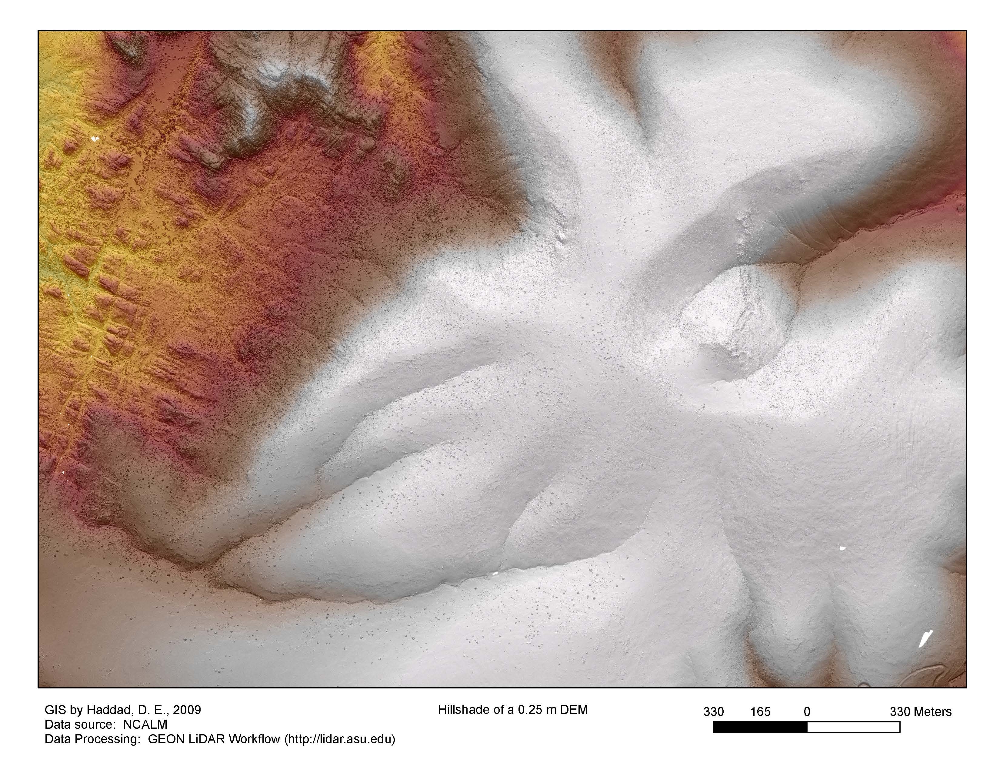
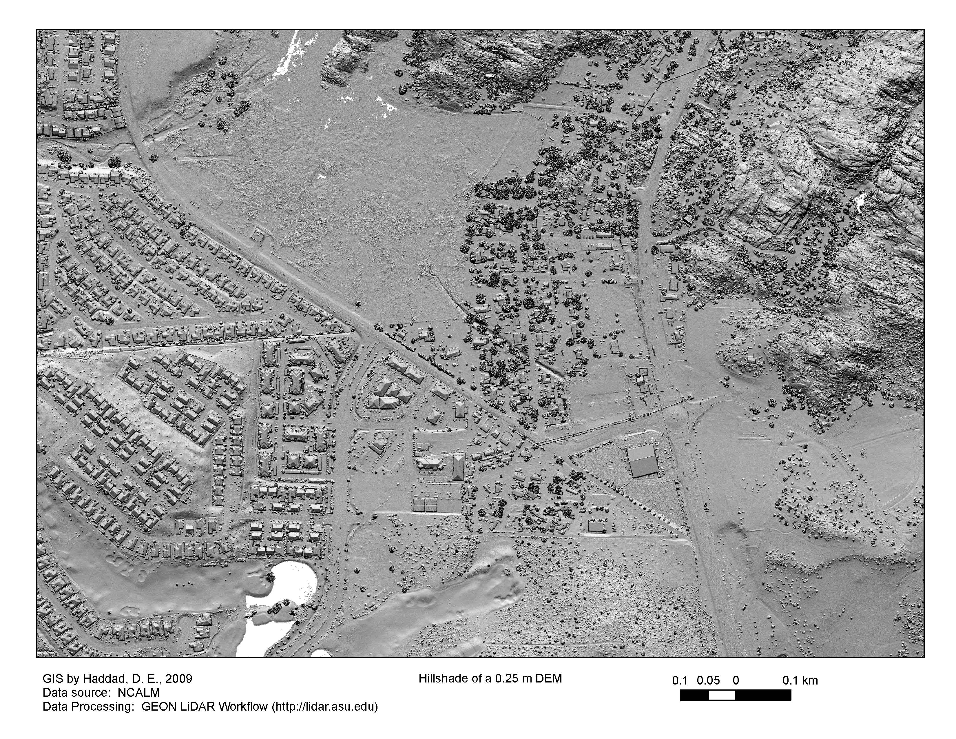
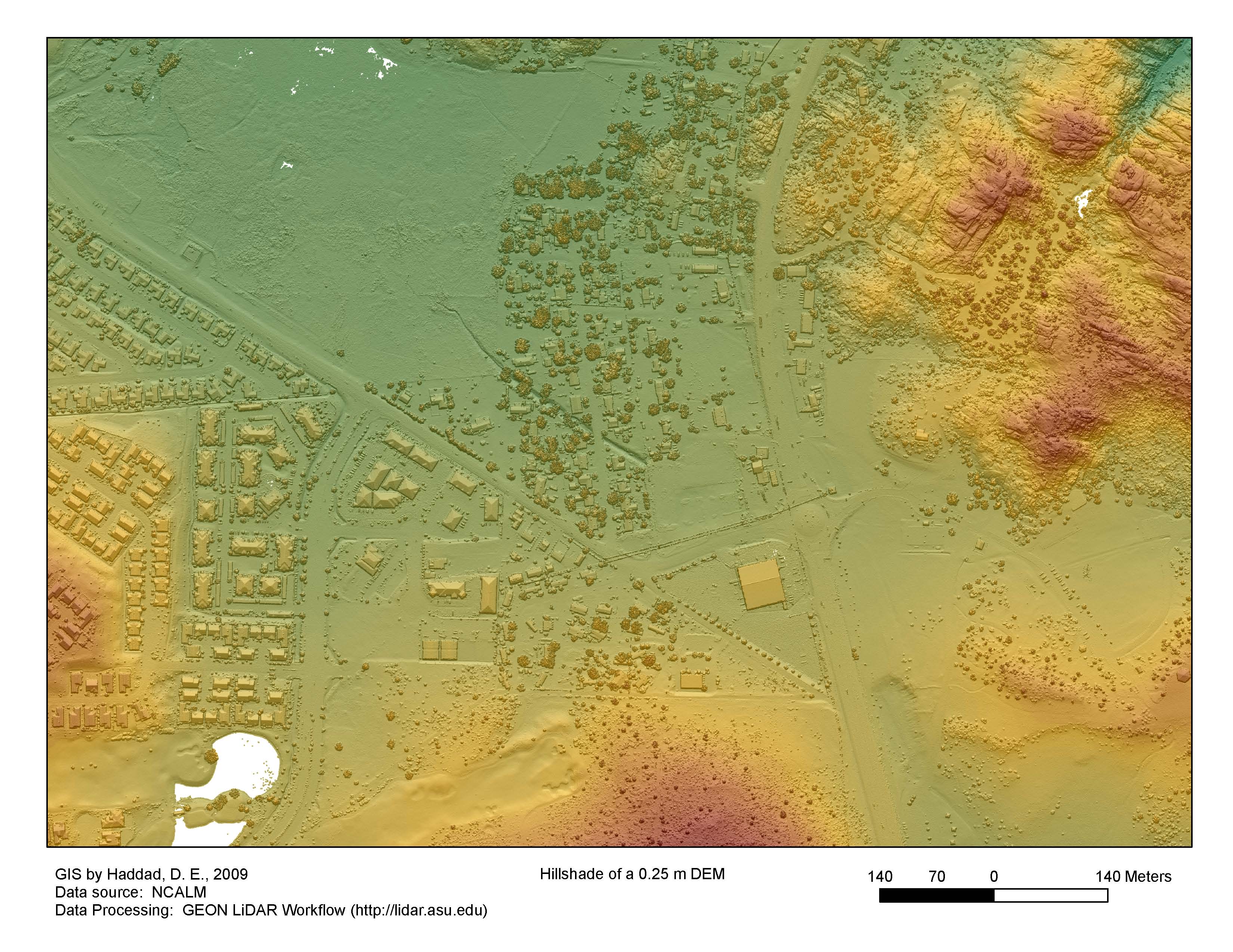
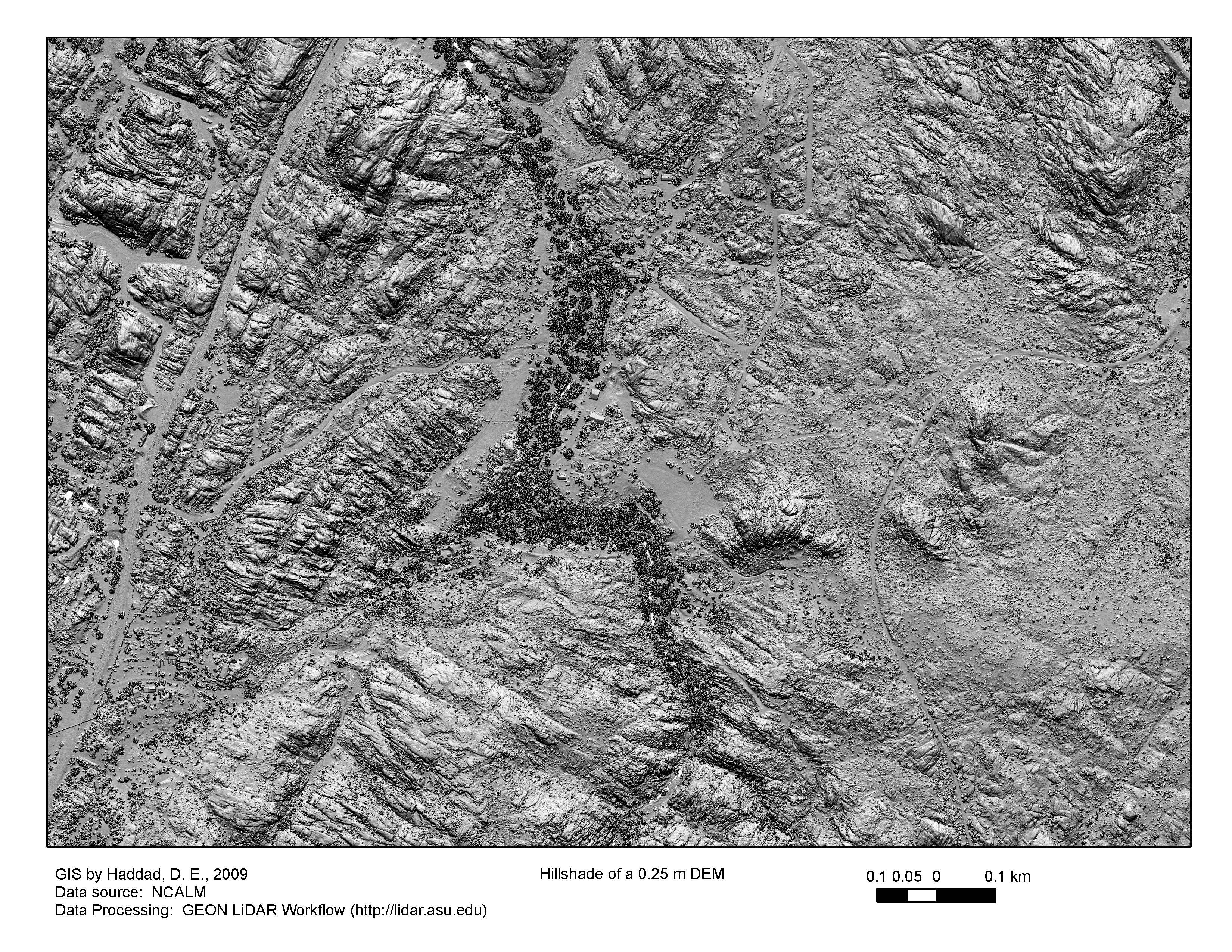
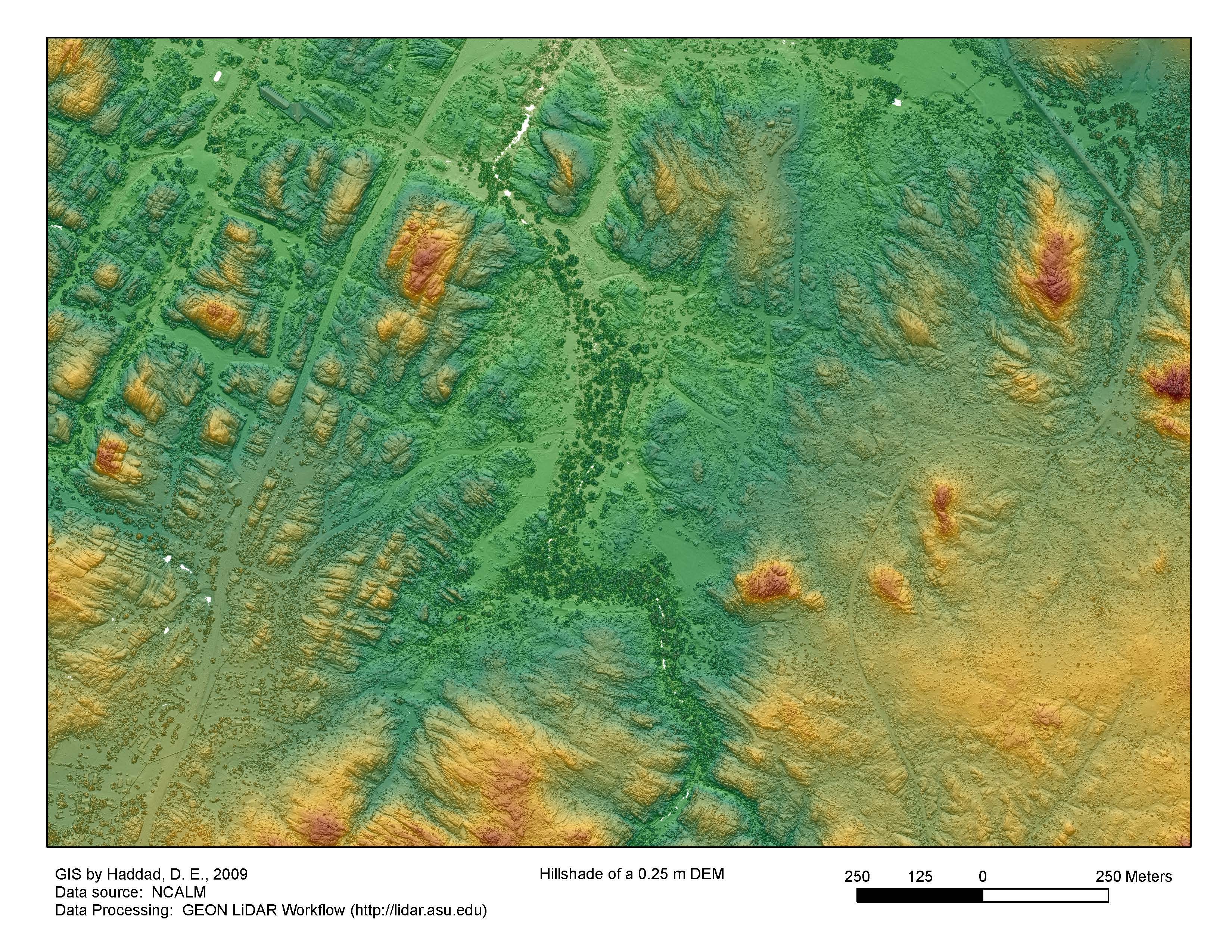
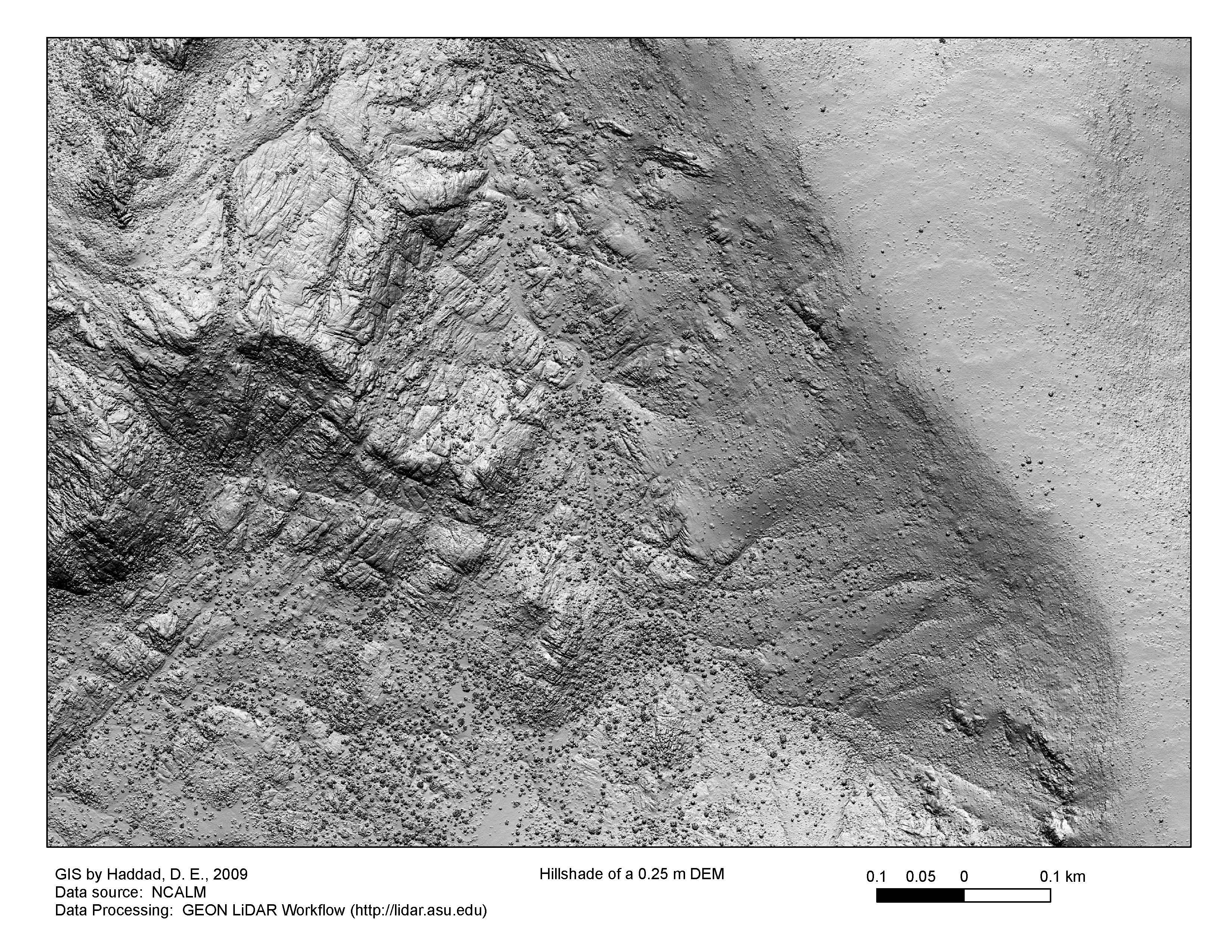
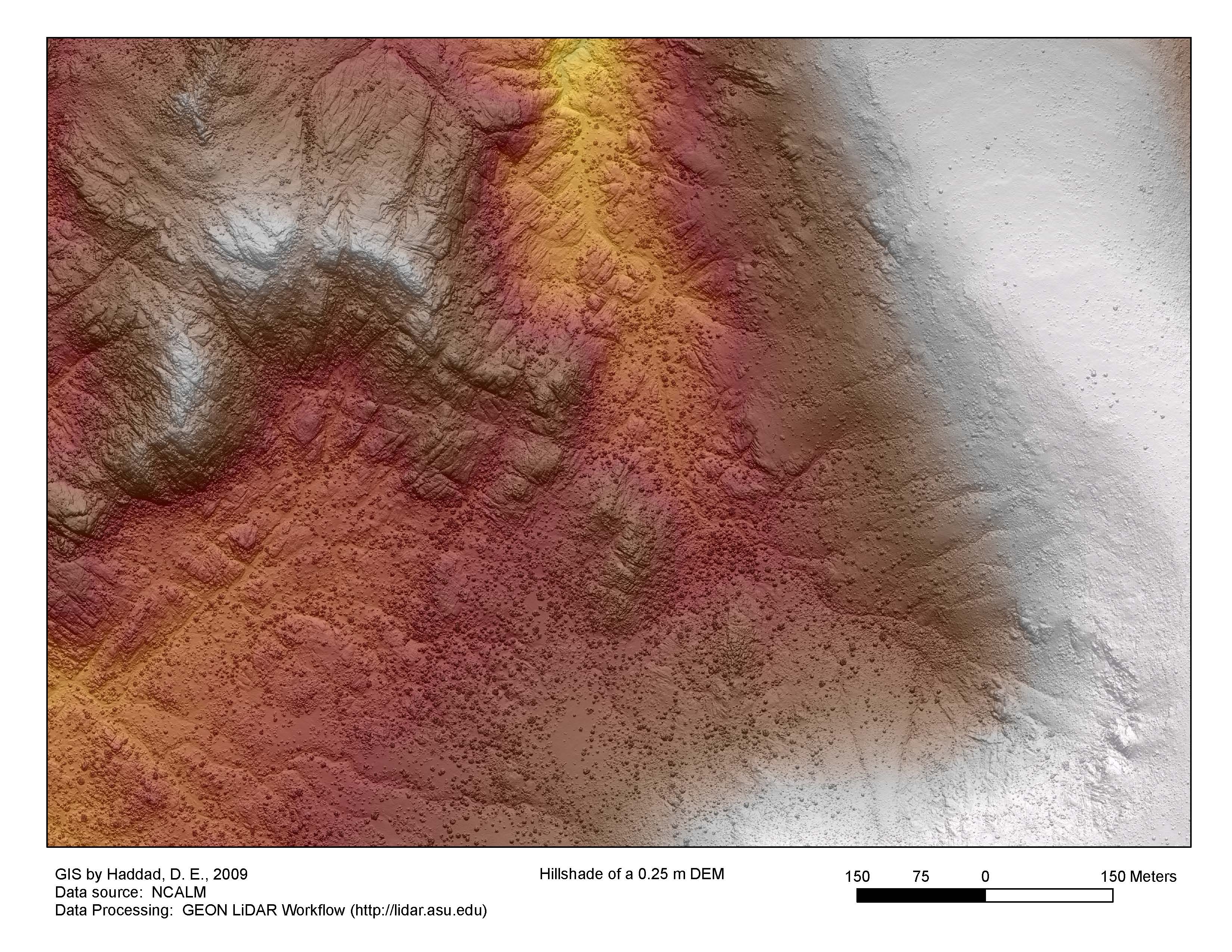
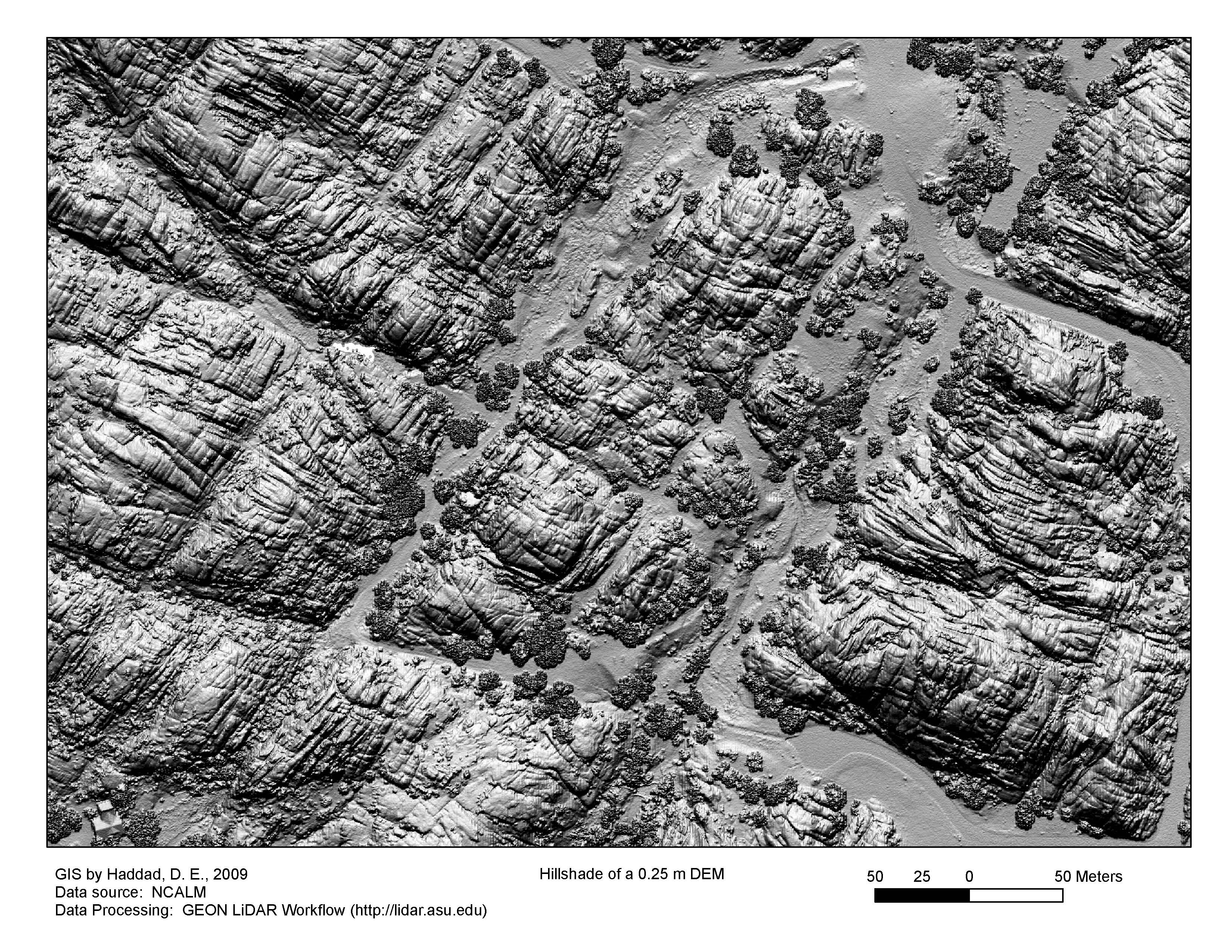
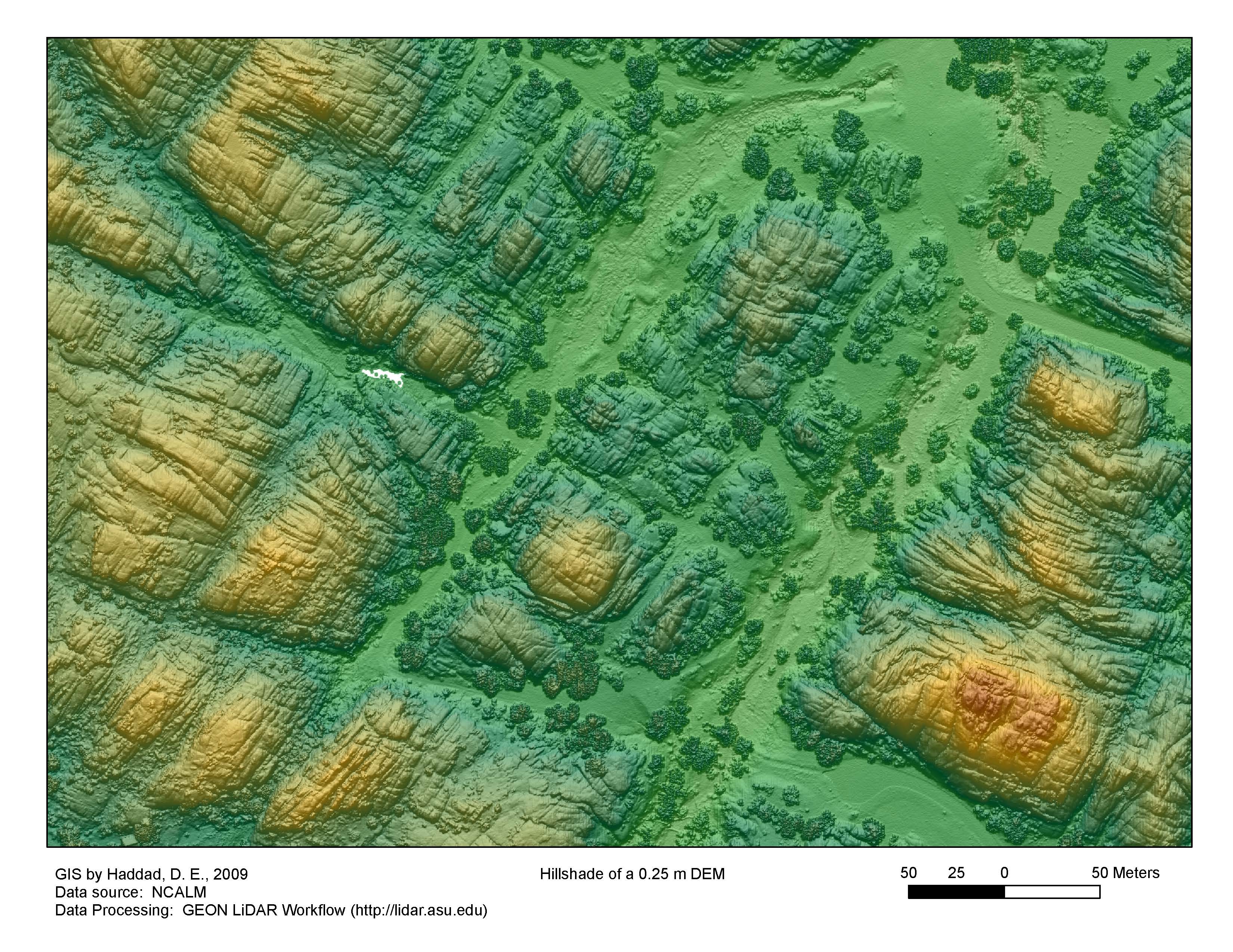
Our first product is a 0.25 m digital elevation model (DEM) generated from the raw
data using the GEON LiDAR Workflow.
We used a search radius of 1 m and the inverse distance weighting interpolation method.
For more on this, see Ramón Arrowsmith's explanation here:
http://lidar.asu.edu/KnowledgeBase/GLW_Search_Radius/
Here's what the hillshades of the 0.25 m DEM look like: