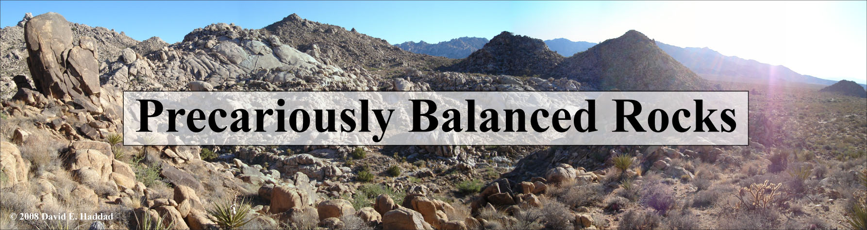
Welcome to the Active Tectonics, Quantitative Structural Geology, and Geomorphology website devoted
to precariously balanced rocks (PBRs). This project, initiated in collaboration with Thomas
C. Hanks of the U.S. Geological Survey (USGS) and the
Southern California Earthquake Center (SCEC), will emphasize
the study of the geology and geomorphology of PBRs and their situation in relatively low
seismicity regions of Arizona and Southern California.
News & Updates
September 2012
Our paper on estimating the static stabilities of PBRs was just published in
Geosphere!
Haddad, D. E., Zielke, O., Arrowsmith, J R., Purvance, M. D., Haddad, A. G., and Landgraf, A., 2012.
Estimating two-dimensional static stabilities and geomorphic settings of precariously balanced rocks
from unconstrained digital photographs, Geosphere, v. 8, no. 5, p. 1042-1053,
DOI: 10.1130/GES00788.1.
July 2012
Our paper on the applications of airborne and terrestrial laser scanning to paleoseismology was just
published in Geosphere!
Haddad, D. E., Akçiz, S. O., Arrowsmith, J R., Rhodes, D. D., Oldow, J. S., Zielke,
O., Toké, N. A., Haddad, A. G., and Mauer, J., 2012. Applications of airborne and terrestrial
laser scanning to paleoseismology, in: Seeing the True Shape of Earth's Surface: Applications of
Airborne and Terrestrial Lidar in the Geosciences themed issue, Geosphere, v. 8, no. 4, p. 771-786,
DOI: 10.1130/GES00701.1.
We submitted a manuscript to Geosphere
(published by the Geological Society of America) showcasing
our PBRslenderness MATLAB program for determining the 2D static stability of PBRs from
unconstrained digital photographs. The Supplementary Online Materials are located
here.
December 2010
We presented a poster at the 2010 American Geophysical Union Fall Meeting in San Francisco, CA, about
the latest results from our PBR slenderness program. Materials
for this meeting can be accessed here.
October-November 2010
We presented an invited talk at the 2010 Geological Society of America Annual Meeting in Denver, CO,
during Topical Session number 32 (Seeing the True Shape of Earth's Surface: Applications of Airborne
and Terrestrial LiDAR in the Geosciences). The abstract and talk are available
here.
September 2010
We presented a poster at the 2010 Southern California Earthquake Center's Annual Meeting in Palm
Springs, CA. The abstract and poster are available here.
July 2010
The Arizona Geological Survey's online newsletter (Arizona Geology) just published
an article that we contributed. The article explains LiDAR (TLS and ALSM) and how it was used in
precarious rock research. It is freely available to the public
here.
May 2010
Our final results were presented in the MS thesis defense of
David Haddad on Wednesday May 12th, 2010 in room 566 of the Physical Sciences F-wing (ASU Tempe Campus)
at 9:00 am.
January 2010
An updated version of our PBR slenderness analysis code is now available for users that do not have the
MATLAB Image Processing Toolbox. Thanks to Matt Purvance for his suggestions that helped in writing the
second version. Both versions can be downloaded here. We are still
looking for volunteers to test the code using sample PBR photographs. For more information click
here.
November 2009
We wrote a MATLAB progam that calculates the 2D static stability of PBRs from unconstrained digital
photographs. The code, user manual, and sample PBR photographs are available
here. We are searching for volunteers to test the code using sample
PBR photographs. For more information, click here.
October 2009
We just completed preliminary processing of our newly acquired ALSM dataset for the Granite Dells! Click
here to see a 0.25 m DEM generated from the dataset, among other products.
Click here to view our 2009 SCEC progress
report that summarizes our research efforts and results to date.
September 2009
We submitted three abstracts for poster and podium presentations at the 2009 AGU Meeting in San Francisco.
All material for this meeting can be accessed here.
Our ALSM data for the Granite Dells precarious rock zone were collected! Thanks to the
NCALM pilots and crew for doing a great job and for showing us around
their operations. We expect to have the raw point clouds ready for processing (and produce some sweet DEMs)
before AGU. Here are some photos of the plane and scanner setup.
August 2009
We submitted two abstracts for poster presentations at the 2009 SCEC Annual Meeting in Palm Springs. We
will present our latest results and methods in this project, including the collaborative effort between ASU
and USGS Pasadena in documenting a precarious rock in Echo Cliffs, CA. Materials for this are available
here.
We completed a terrestrial laser scanning expedition to scan some of our PBRs in the Granite Dells
precarious rock zone. We used a Riegl LPM 800i (aka LPM 321) that was borrowed from our colleagues at the
Cybermapping Lab of the
University of Texas, Dallas. We scanned a single PBR and PBR-covered hillslopes.
Here are some photos of the field set up
April 2009
We contributed an article
to the April 2009 edition of the Arizona Geology newsletter (published by the
Arizona Geological Survey) that describes research interests in the use of
PBRs as natural seismometers.
March 2009
Our proposal for a National Center for Airborne Laser Mapping (NCALM) seed
grant to acquire ALSM data for one of our precarious rock zones was accepted! We expect to collect the data
by the end of this summer, and begin processing them soon after to generate high-resolution DEMs. This will
be the first application of ALSM technology to precariously balanced rocks research.
December 2008
We presented our research efforts at the 2008 AGU Fall Meeting, where
David Haddad was awarded an Outstanding Student Paper. All materials for this meeting are available
here.
September 2008
We presented a poster and two podium presentations at the 2008 SCEC meeting. All materials for this meeting can be
accessed here.
July 2008
We completed our progress report that summarizes our
PBR site-selection process.
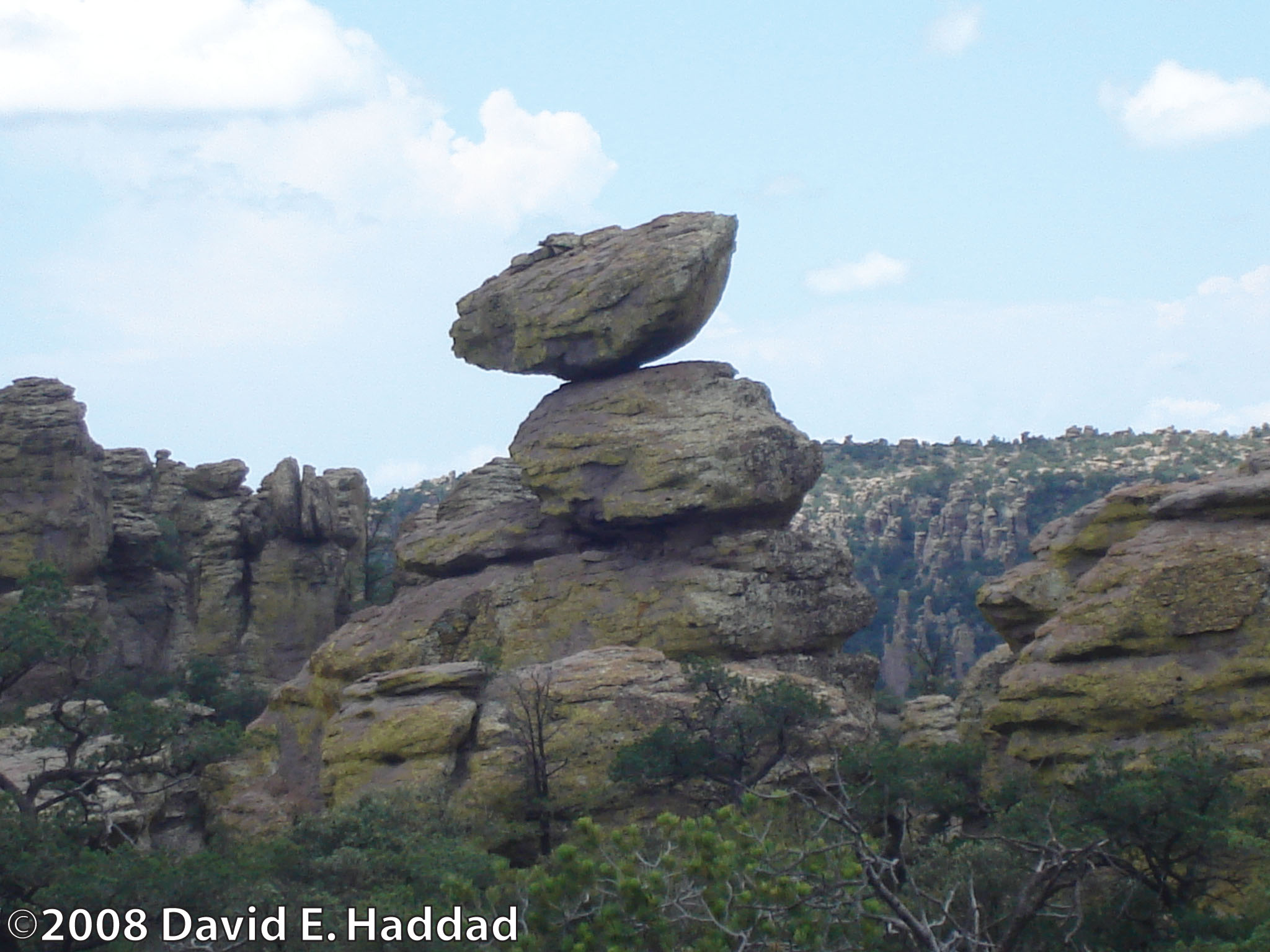
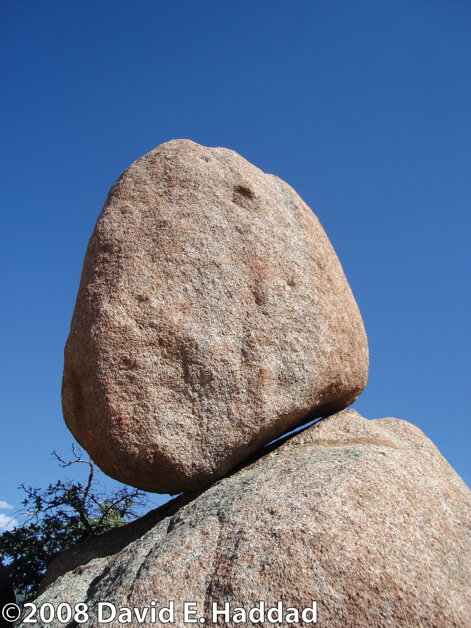
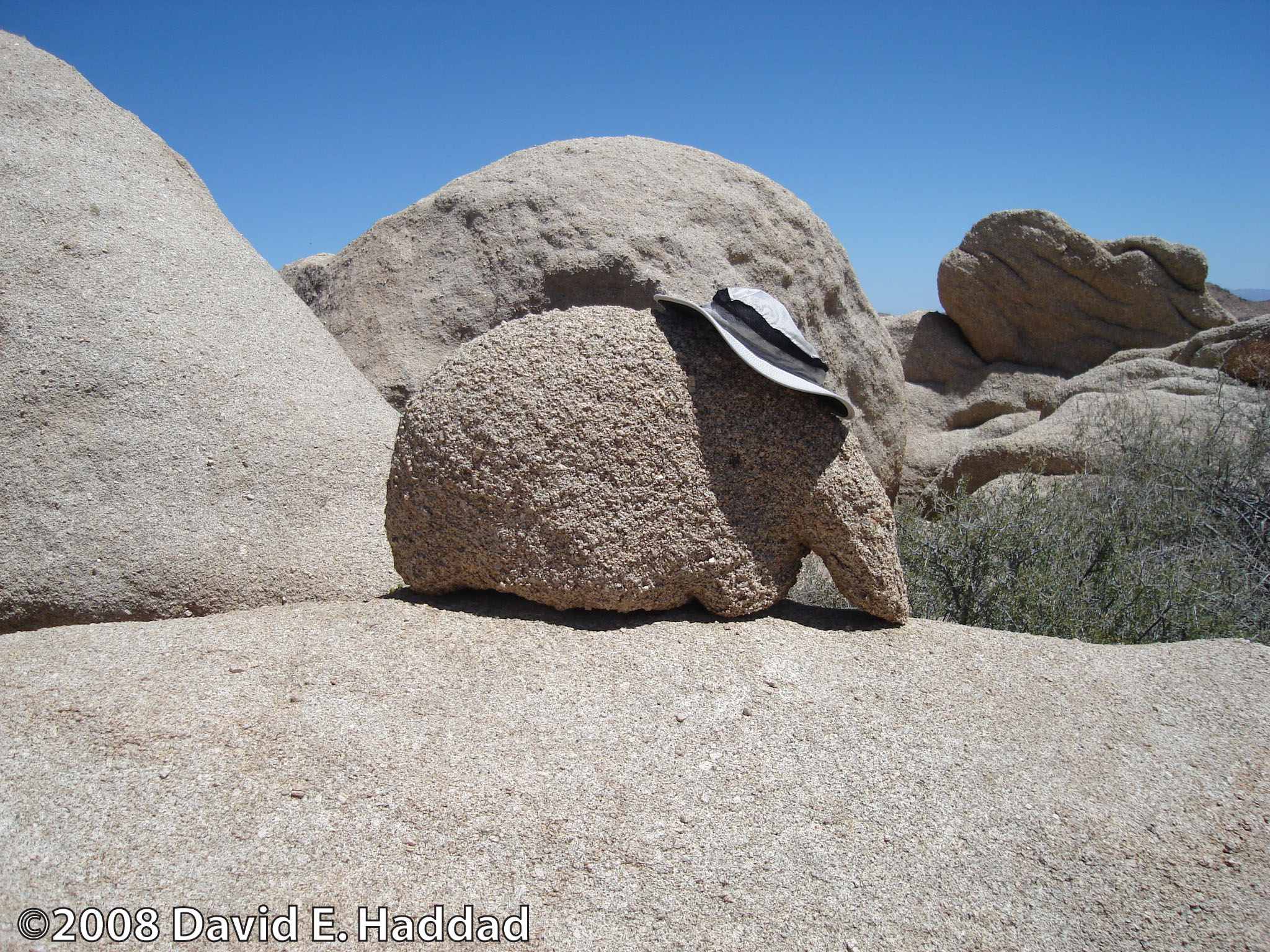
April 2008
Here are some field photos from the Granite Dells precarious rock zone, near Prescott, AZ,
taken on April 26, 2008 during a reconnaissance field trip with Thomas C. Hanks (USGS),
Ramon Arrowsmith (ASU),
David Haddad (ASU) and Matt Rossi (ASU).
Page maintained by: David E. Haddad.
Last modified: October 10, 2012.