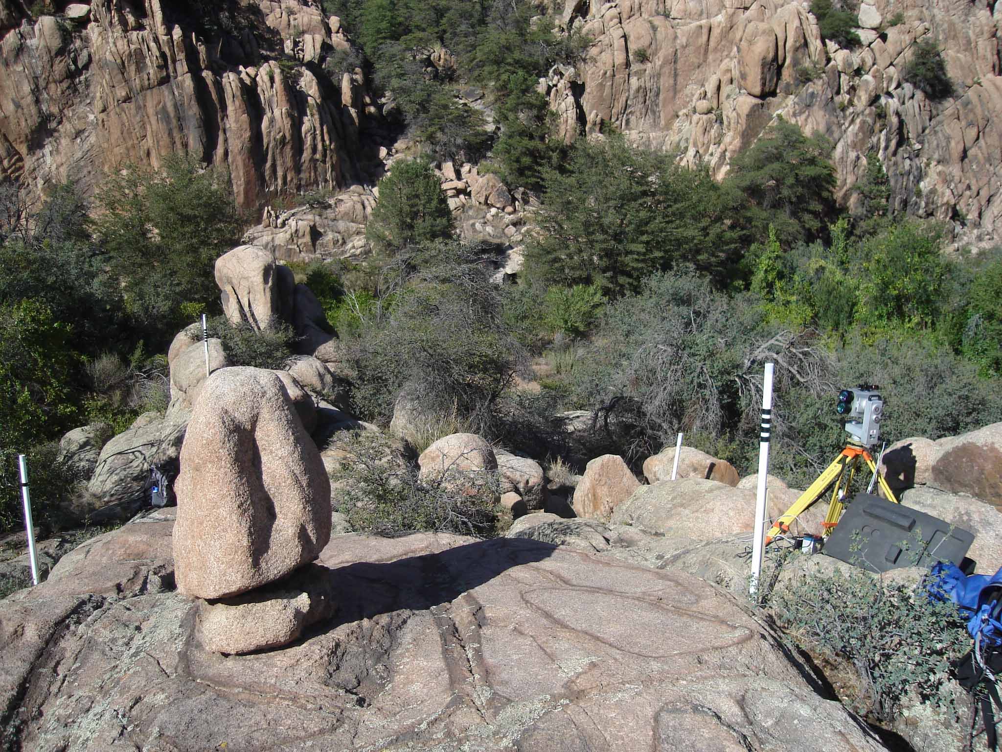
We borrowed a Riegl LPM 800i (LPM 321) terrestrial laser scanner from our colleagues at the UT Dallas
Cybermapping Laboratory
to scan a ~1.5 m tall by ~1 m wide PBR in the Granite Dells precarious rock zone, central Arizona. The
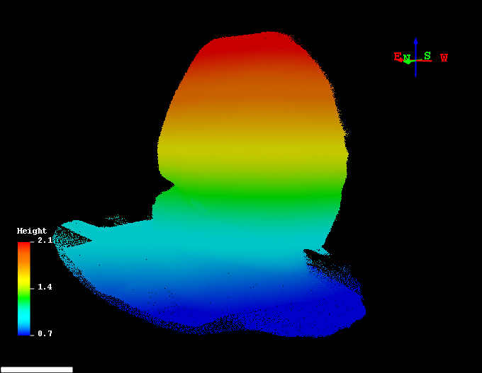
PBR was scanned from six positions, and the scans were aligned to a point cloud totaling 3.4M points.
Here are some photos and screenshots:
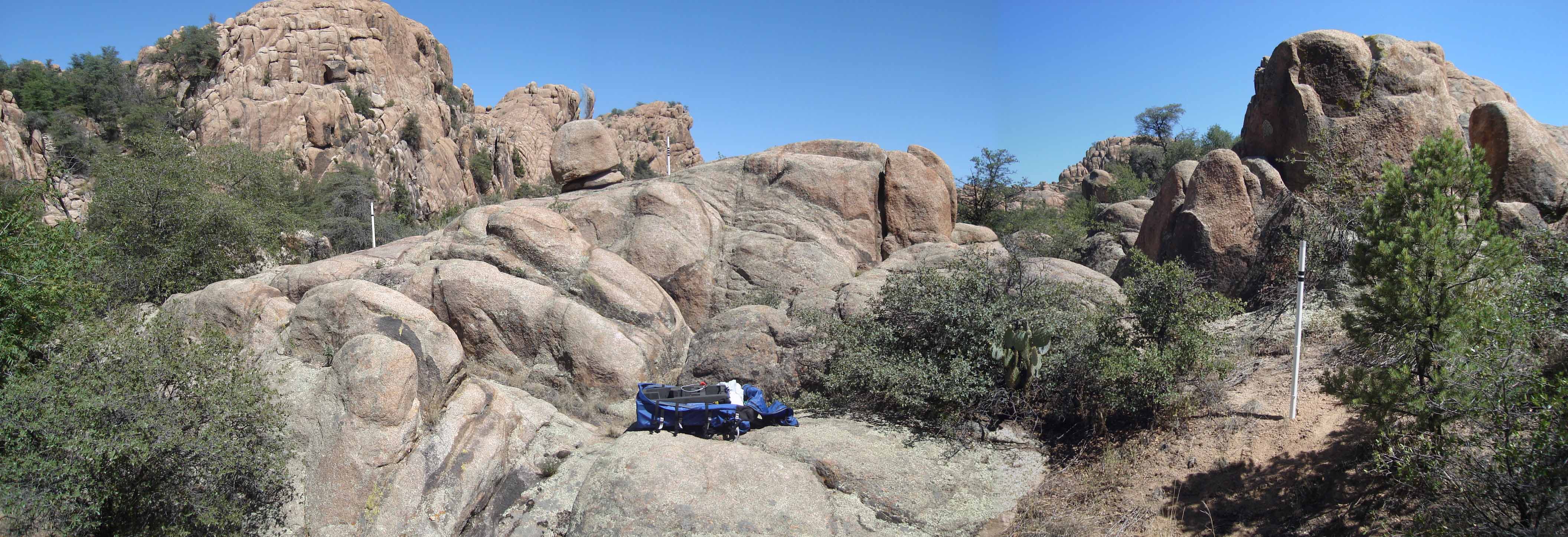
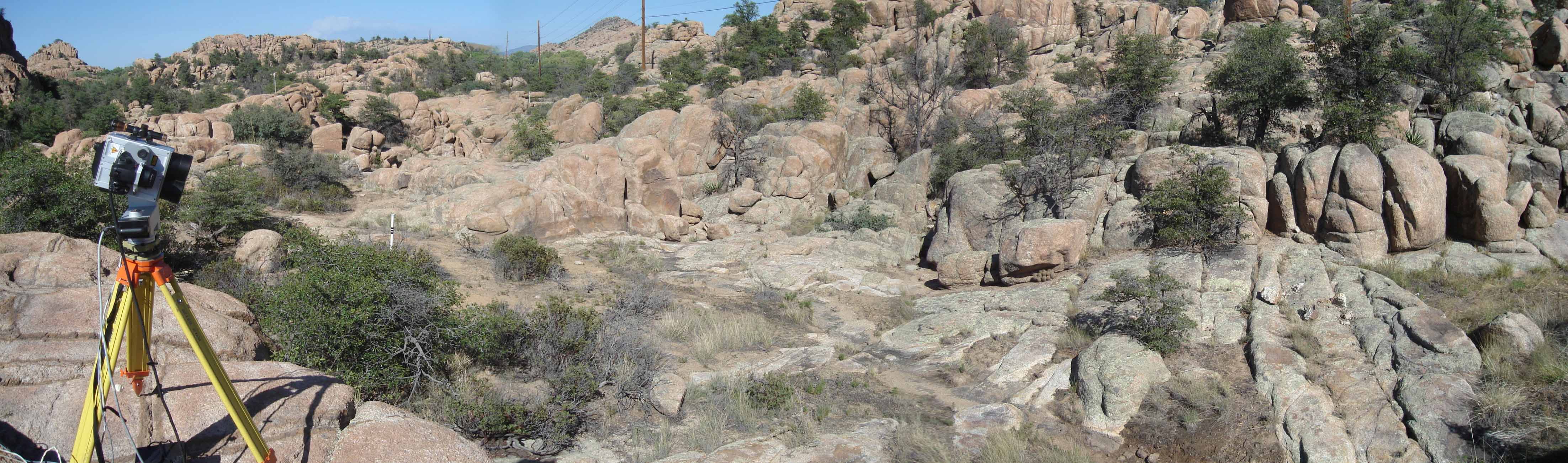
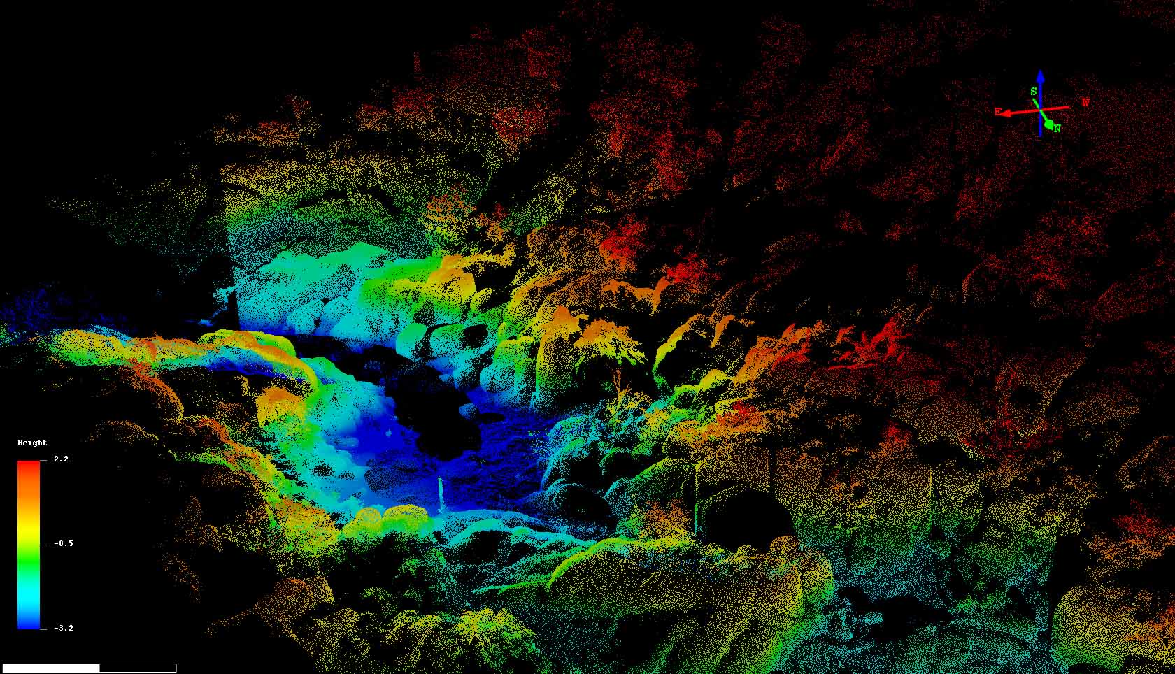
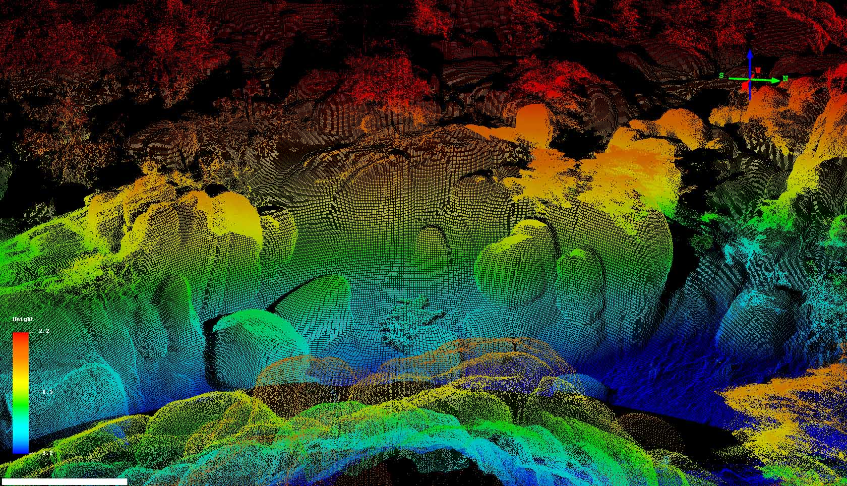
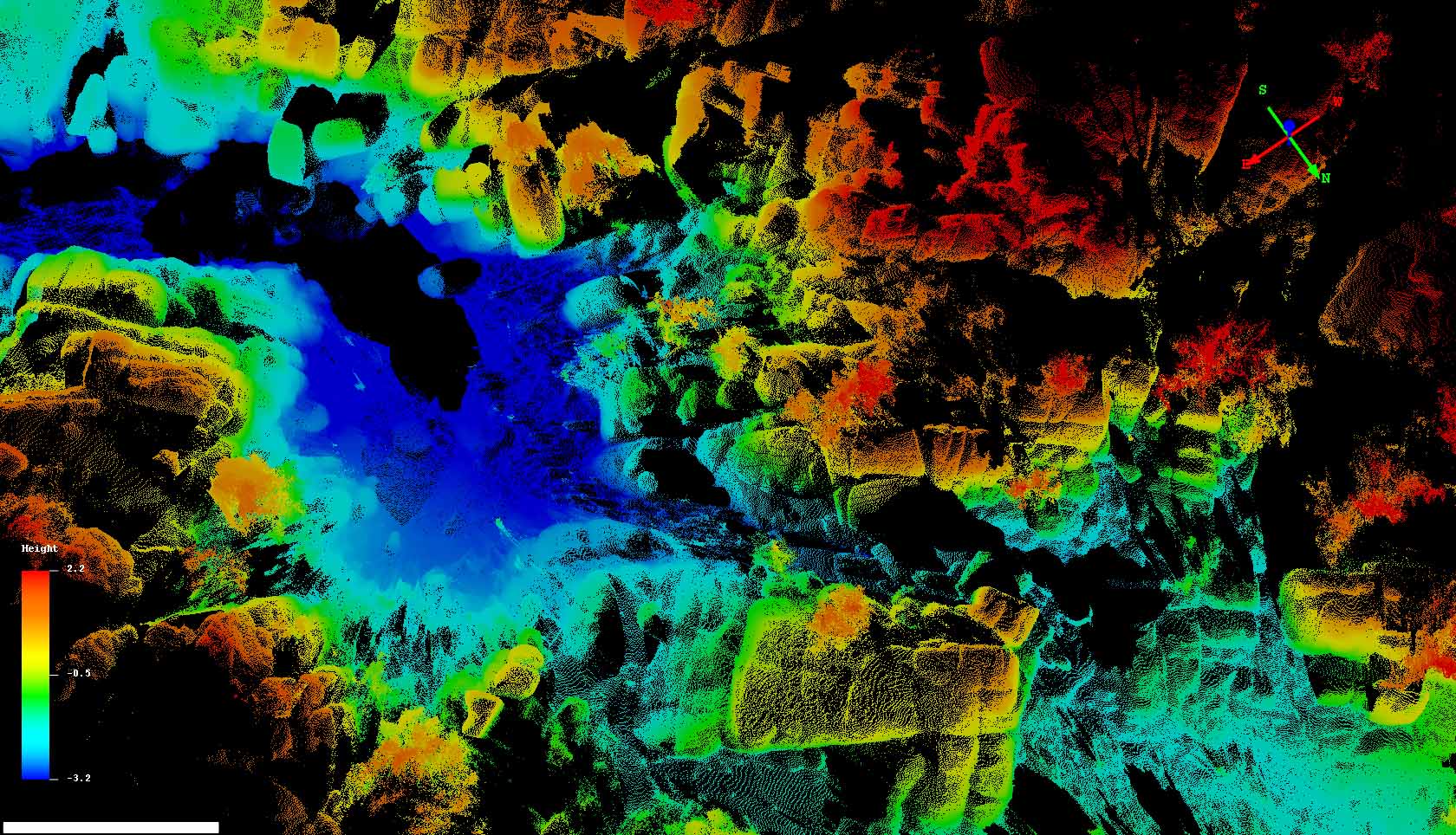
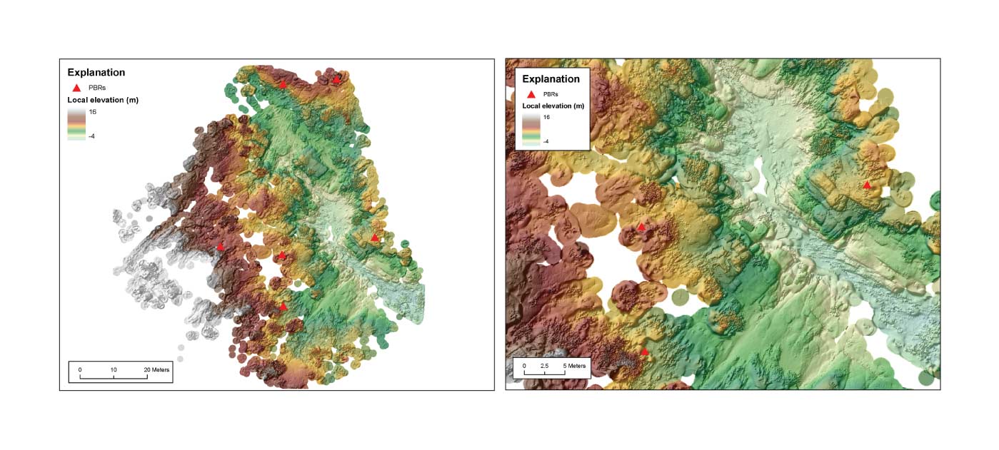
We also scanned a ~50 m by ~150 m area covering PBR hillslopes from five scan positions. The resulting 5.5M
points were used to create a digital terrain model of precarious rocks and their hillslopes.
Here are some photos, screen shots, and a 5 cm DEM produced using the GEON LiDAR Workflow
(http://lidar.asu.edu):