
| Main Overview Problems Tools Results '98 Sites NCamp1 Kule Sayi Spike1 Kadze Rangefront Cold Water Spring '99 Sites Extras Kite Photography Clickable Map |


Evidence For and Geometry of Repeated Large Magnitude Surface Ruptures Along the Central Altyn Tagh Fault
Kite Photography along the Altyn Tagh Fault (ATF)
Introduction
Here we present some photographs we made along the Altyn
Tagh in the area of Seurkuli Valley (38° 46.709'N 091° 15.238' E) of a
series of offset channels and other landforms that make up the moletrack here.
This is part of our ongoing work on earthquake geology along the ATF.
Go to our main ATF page.
I will try to write more about our kite system, but it consists of a radio triggered Olympus 340 digital camera (or it can fly with a small film camera) lifted by a large (32 ft2 or 16ft2) Flowform kite.
We are still developing the system. You can see some very nice images of
the Landers earthquake scarp at this link:
http://activetectonics.la.asu.edu/Landers/index.html
Kite action
Click on the thumbnails below for the bigger version of the image.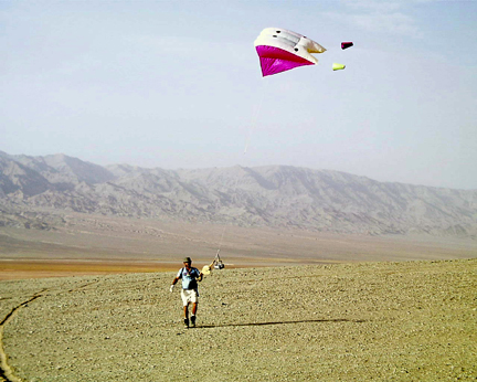 |
 |
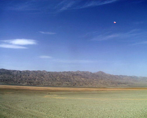 |
| Ramon flying the kite | Ramon and Lao Sun flying | The beauty of flight |
 |
 |
 |
| Checking the results on that little LCD |
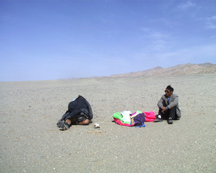
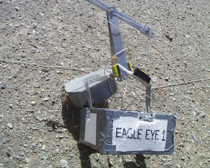
The crash of Eagle Eye 1 | A vertical system makes the killer oblique! |
 |
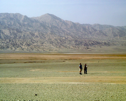
| The pilot and triggerman |
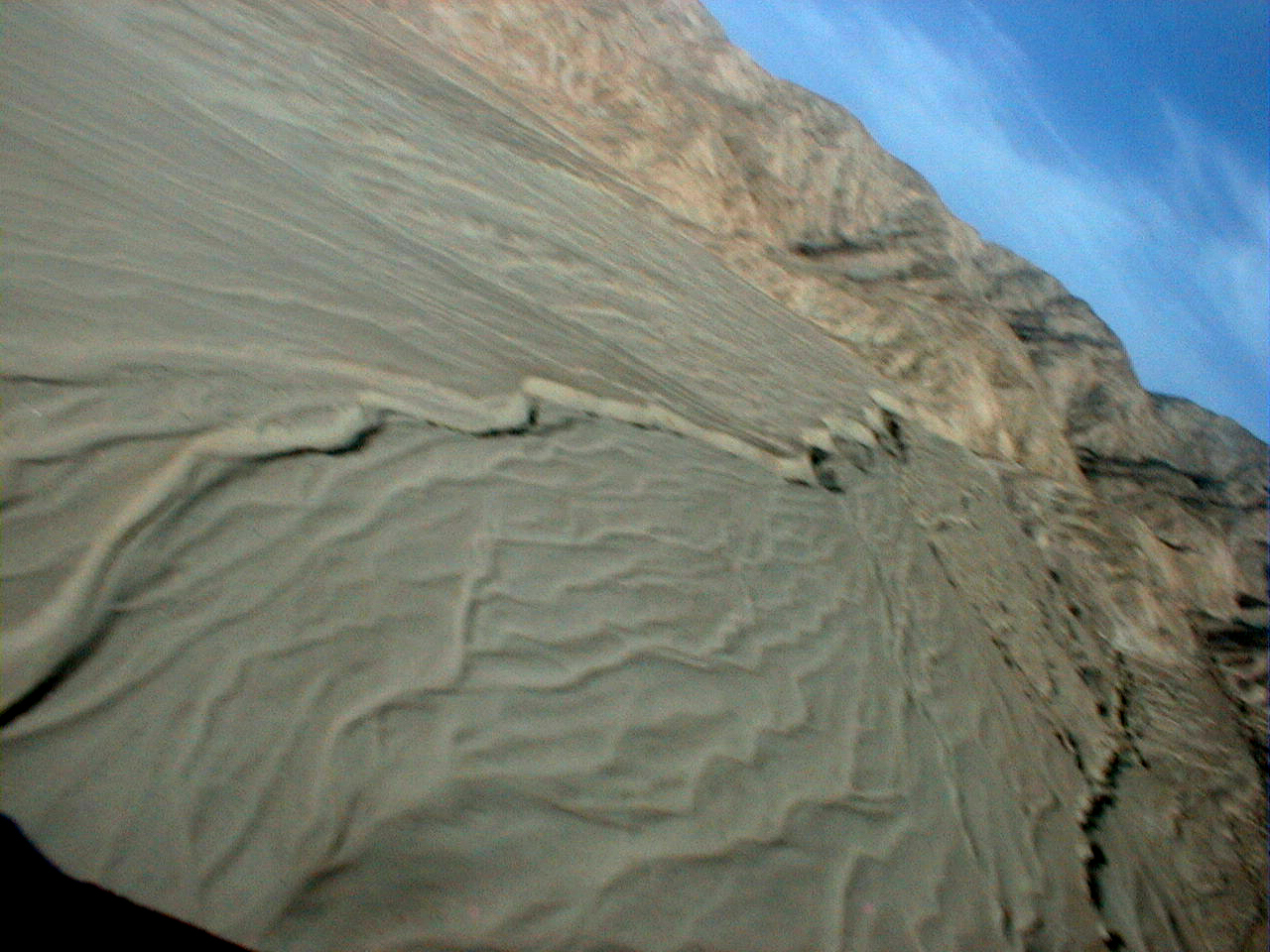
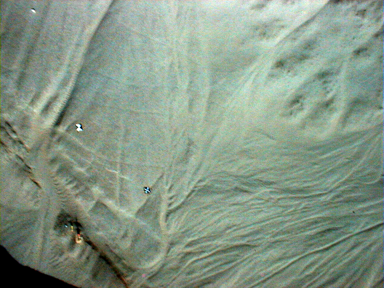
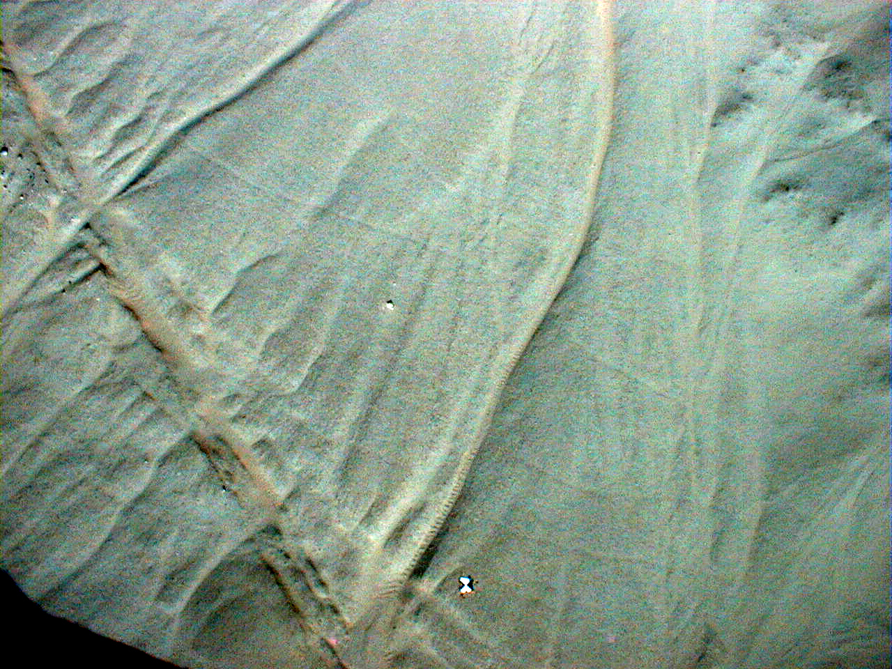
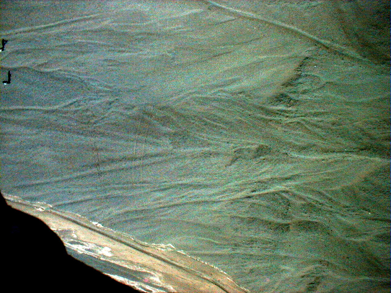
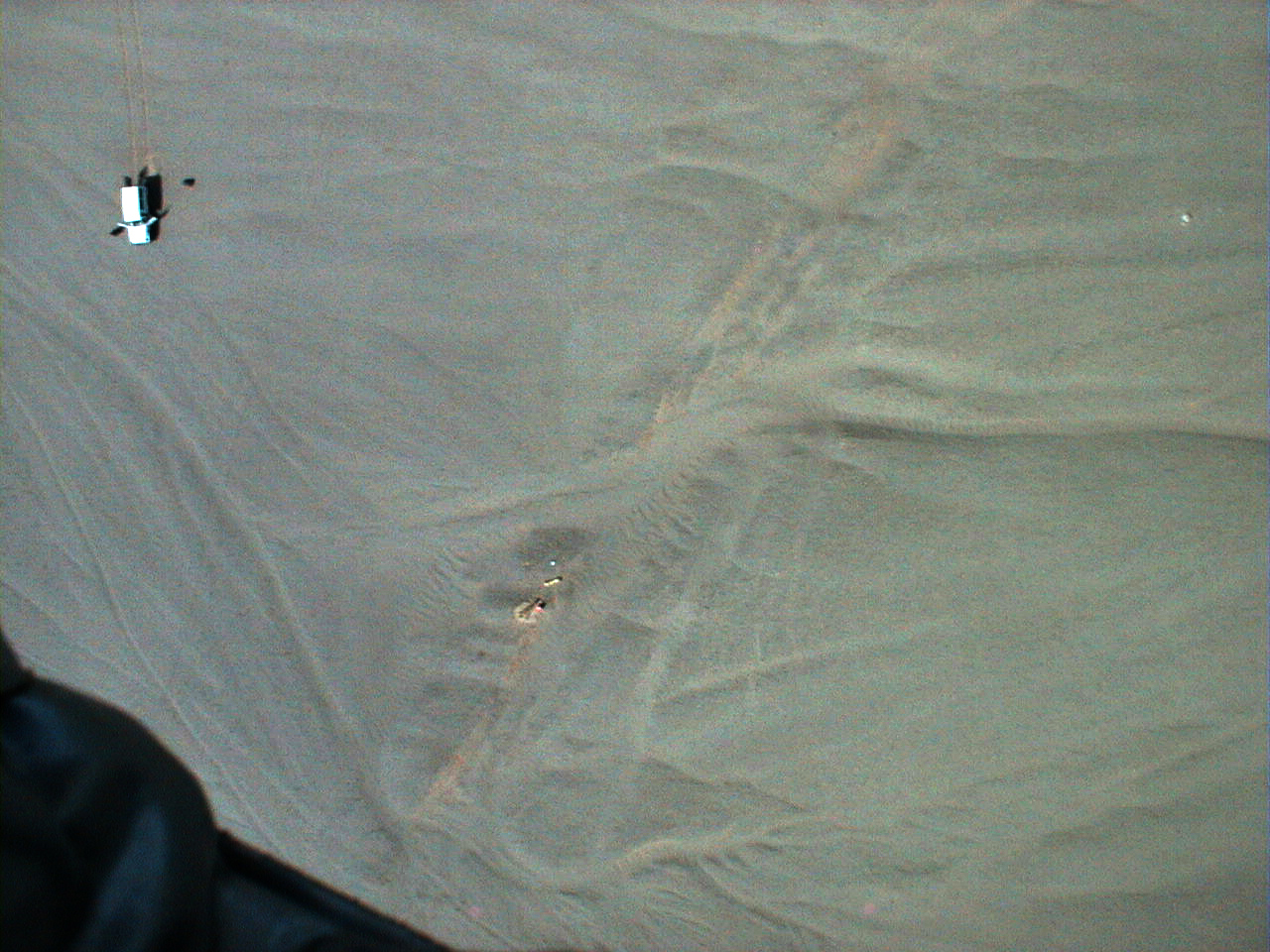
The best image
Note the vehicle, occasional people, a total station, and some 60" aerial photo targets in these pictures. The channel in the center is left laterally offset about 11 m along the Altyn Taugh Fault whose moletrack is the linear feature crossing the image from upper left to lower right.

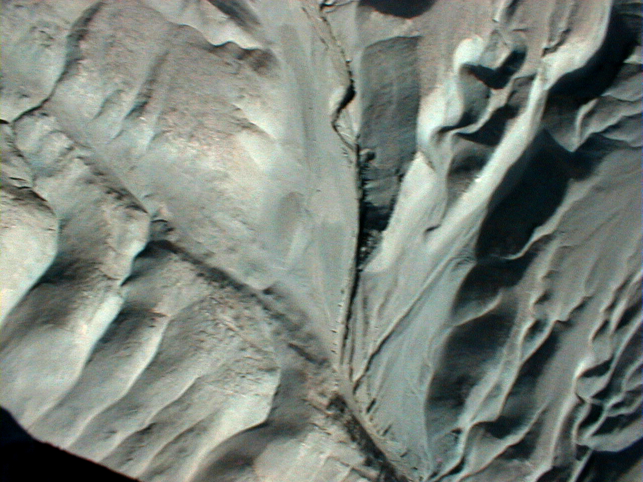
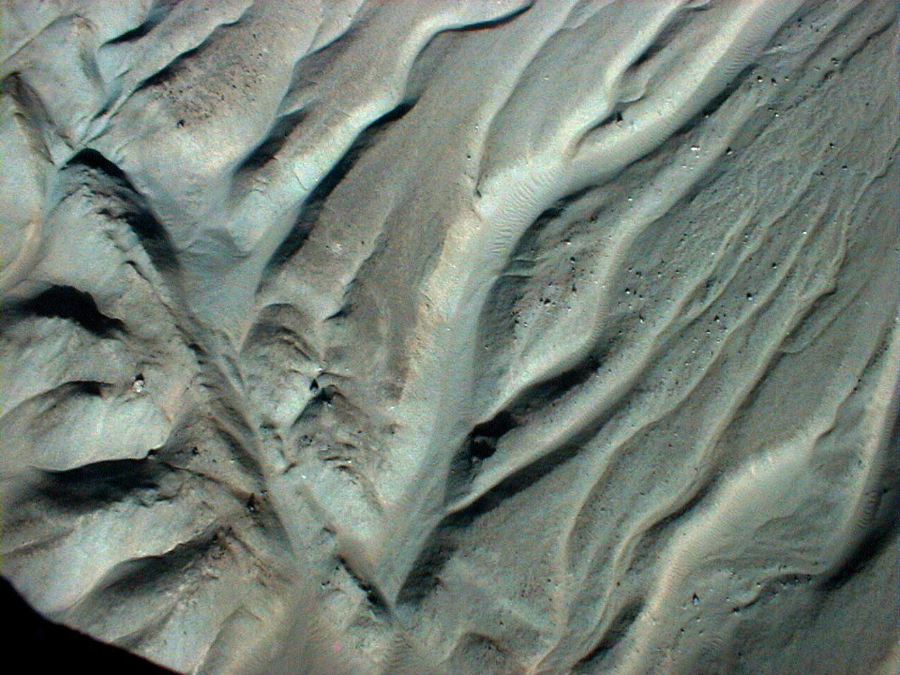
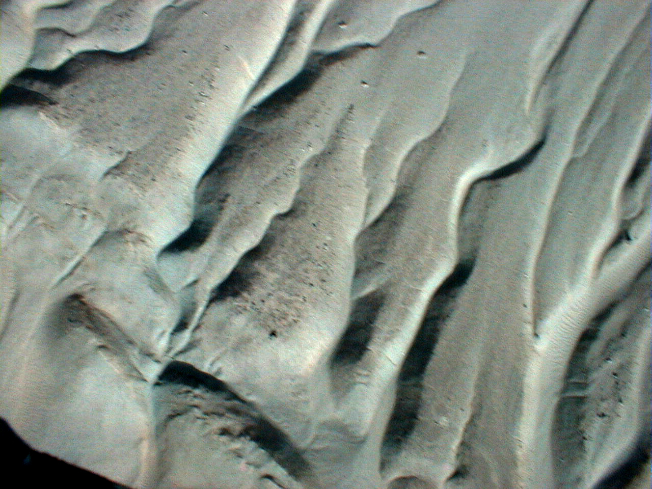
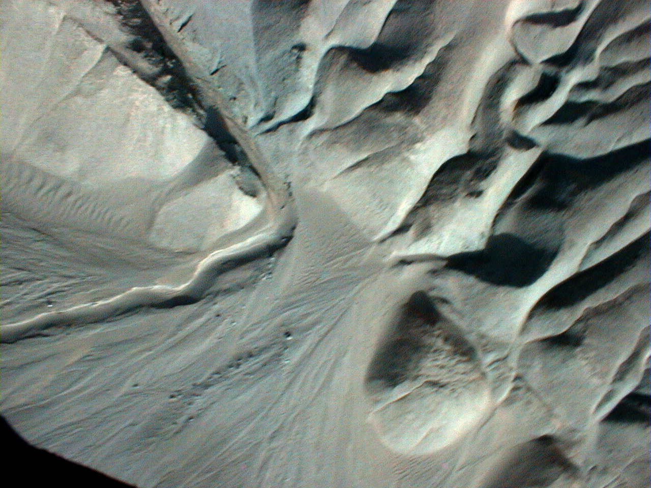
Other images
 |
 |
 |
 |
 |
 |
 |
 |
 |
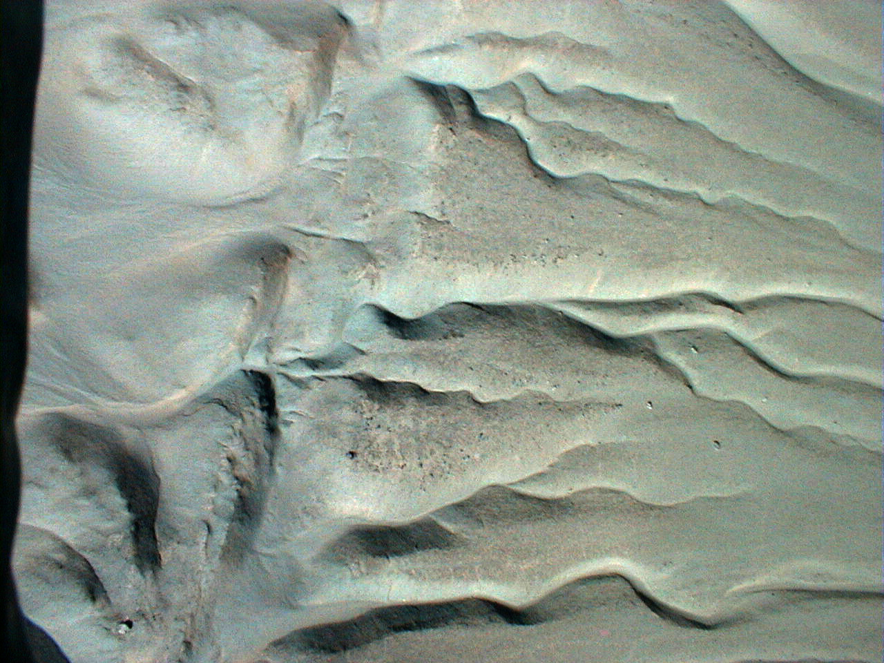
Processing study on the best image
Here is an effort to explore the basic Adobe Photoshop processing steps one might do and their effect on the result. I am still not completely satisfied.
 |
 |
|
| The original (right out of the camera I think) |
Basic stretch | A bit more refined stretching |
 |
 |
| The refined stretch sharpened | The refined stretch despeckled |
Go Back to ASU Active Tectonics home page
Pages maintained by Prof. Ramón Arrowsmith
Last modified November 12, 1999