These pages illustrate an investigation of seismicity in China
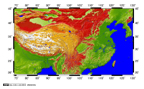
Asian topography from gtopo30
The digital topography comes from the GTOPO30 dataset:
http://edcwww.cr.usgs.gov/landdaac/gtopo30/gtopo30.html
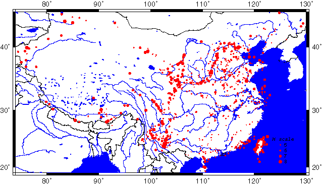
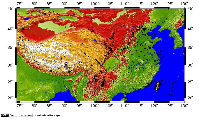
Historic Seismicity
Here is the dataset from an important reference:
with annotation
text ready for gmt
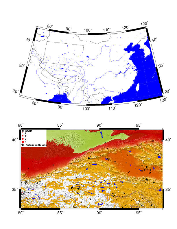
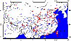
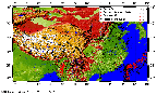
Plot for China with no topography:
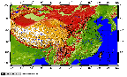
Plot for China with topography:
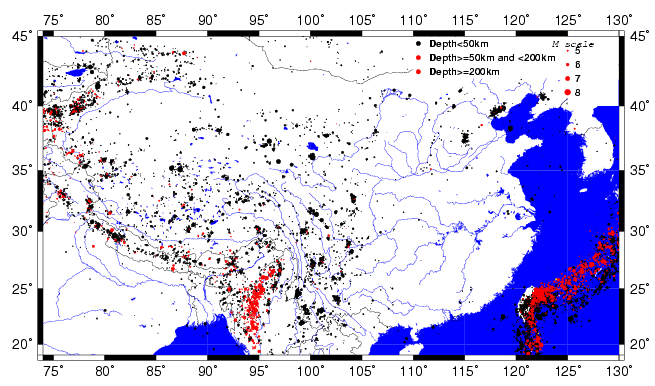
Instrumental Seismicity
Here is the seismicity dataset from the CNSS:
http://quake.geo.berkeley.edu/cnss/catalog-search.html
BIG FILE! (1.2 Mb)
Plot for China with no topography:

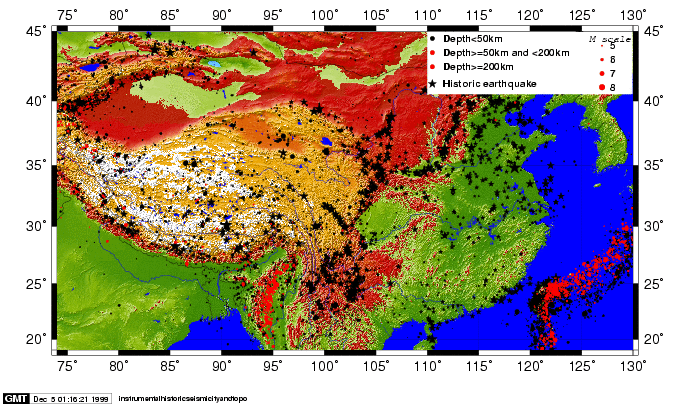
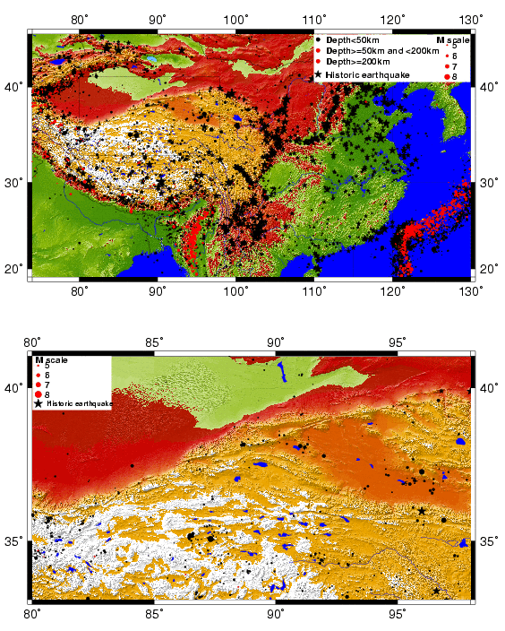
Historic and Intrumental seismicity together
GMT script for above
We use GMT to plot
script
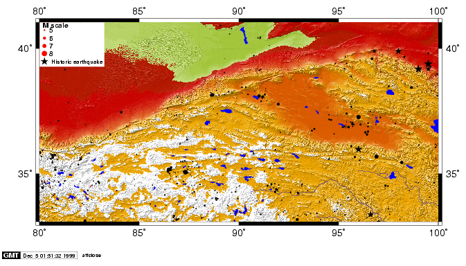
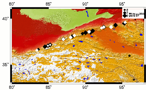
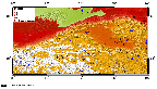
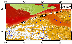
Local seismicity and topography along the central Altyn Tagh fault
GMT script for above
script
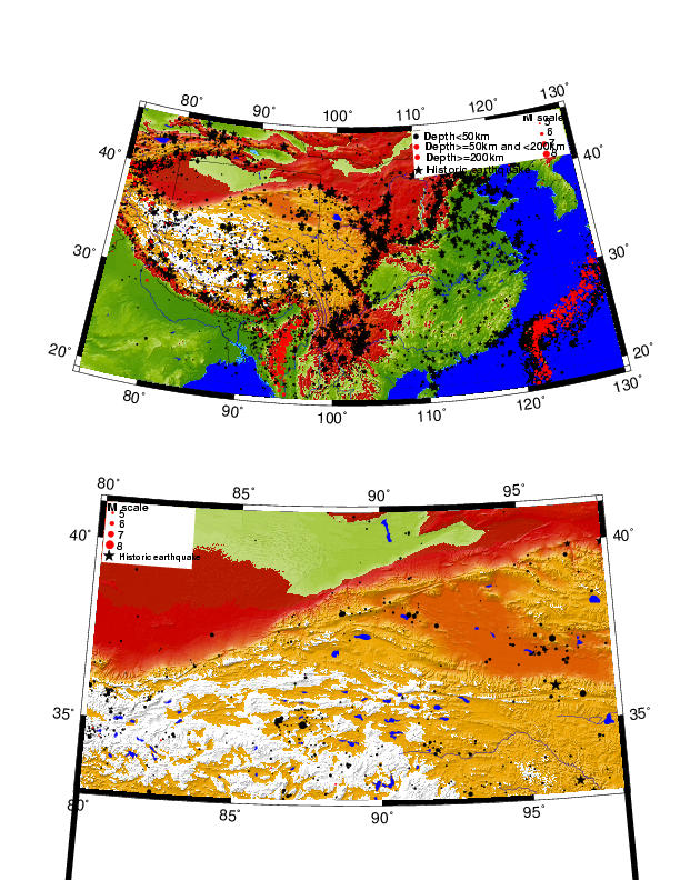
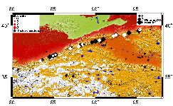
Everything together!
Here is the sweet total plot:
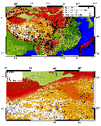
And it was plotted all with one script in GMT:
script
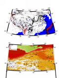
How about some different projections?
I thought that it is probably better to use a Lambert projection for the big map, so here are some different plots (not all have the lower one as Lambert projection as well.

postscript
postscript

postscript
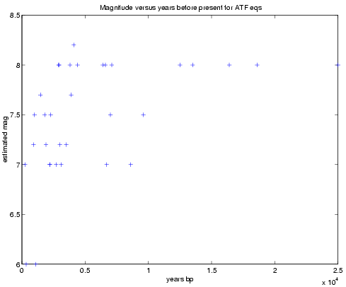
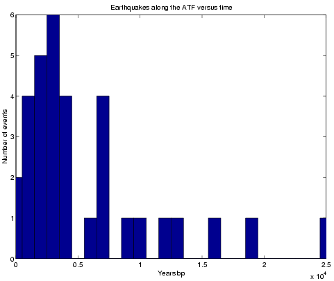
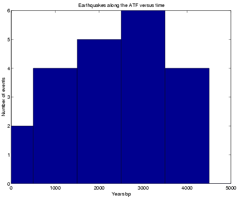
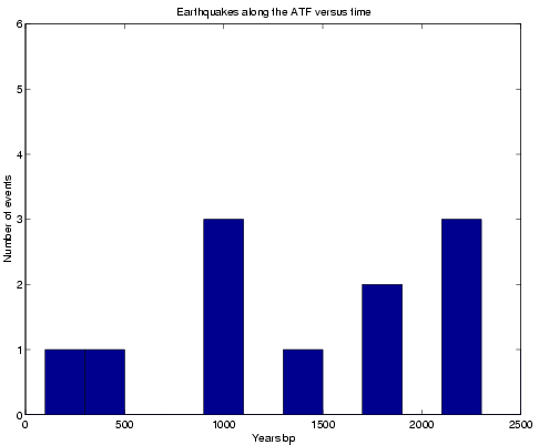
Paleoseismicity
Here is a Chinese dataset of paleoseismicity
I looked a bit at the time and magnitude distributions:


Here are only the paleoseismic events with the events younger than 2500 years colored white:
small postscript
postscript
Here is paleoseismicity and historic and instrumental seismicity:
small postscript
postscript
Here is the GMT script
Return to main ATF page
Pages maintained by
Prof. Ramón Arrowsmith
Last modified May 3, 2000