Black Canyon City Landslide
A cooperative project among:
Ramón Arrowsmith, Department of Geological Sciences, Arizona State University
Lee Amoroso, US Geological Survey,
and
Phil Pearthree, Arizona Geological Survey
We also appreciate the support of Nick Priznar from Arizona Department of Transportation.
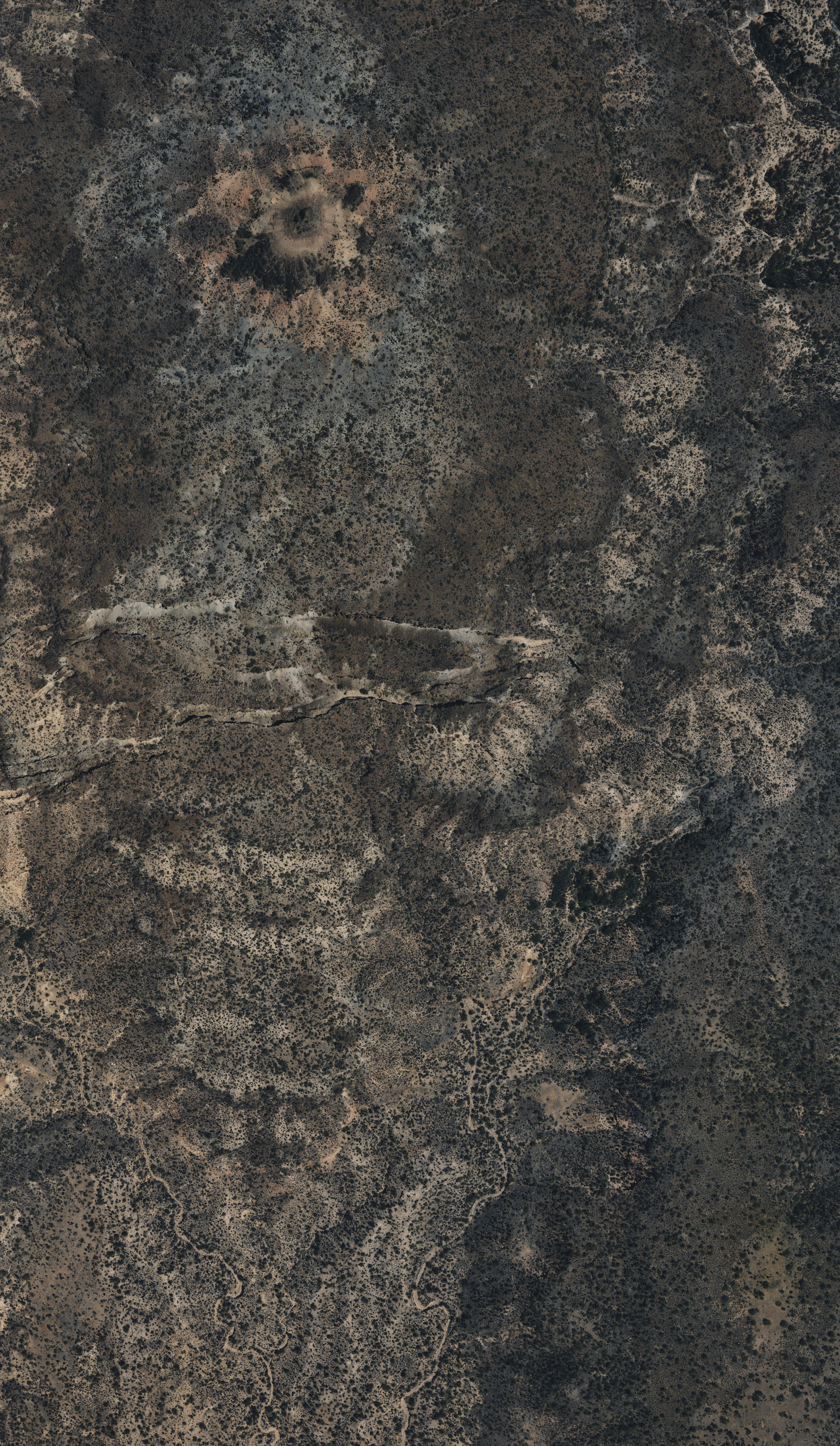
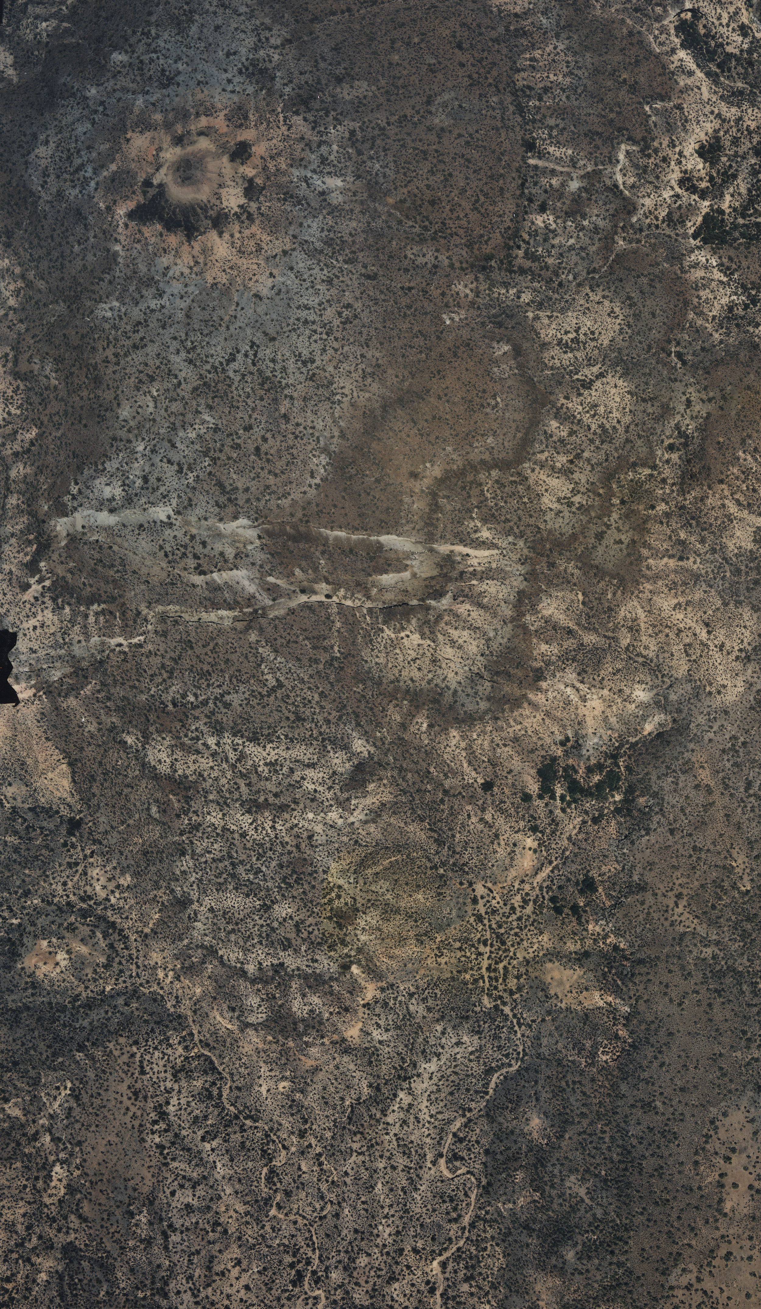
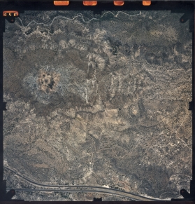
Overview (airphotos from Nick Priznar, ADOT)
Stereopairs:


ASU Advanced Field Geology
2003 group project
Writeup of assignment
Photographs from the ground of key features
Guidelines for Stratigraphy Team writeup
Guidelines for Fracture Team writeup
History
We first worked on the slide in the winter of 1998 as part of the Advanced Field Geology course that Phil and Ramon taught and Lee took.
Here is the link to the pages for the landslide from that class.
1998 Geomorphology course
Pictures of benchmarks and students.
2002 Advanced Field Geology course
Pictures of students and other features
2002 Geomorphology course
Pictures of benchmarks, students, and other features
Displacement measurements
2000 resurvey of benchmarks
Original total station survey file: FILE01.GSI
Matlab script to plot the displacements: bc.m
Data file for matlab plotting: bcdisplacements.txt
Plot
EPS file of displacements from 1998 to 2000: bcdisplacements.eps
2002 resurvey of benchmarks
Original total station survey file: FILE01.GSI
Microsoft Excel (2000 format) file of 2002, adjusted 2000 survey data and comparison with 1998: bcdata.xls
Matlab script to plot the displacements: bc2002.m
Data file for matlab plotting: ohtwodisp.txt
Plot
EPS file of displacements from 2000 to 2002: ohtwodisp.eps
Pages maintained by
Prof. Ramón Arrowsmith
and
ASU Active Tectonics group
Last modified February 14, 2003