Parkfield Home
Paleoseismology and Geomorphology
Geologic Mapping and Structural Synthesis
3D Data Integration and Visualization
September 28, 2004 Parkfield Earthquake
Project Publications
Data, Resources and Links
|
Data:
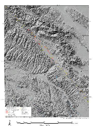
Crosby, C.J., 2004, Digital database of faulting accompanying the 1966 Parkfield, California Earthquake, U.S. Geological Survey Open File Report, 2004-1437. Maps:
Aerial photography:
Links: |


